

© Wanderhotels - Hotel Lumberger Hof

© Wanderhotels - Hotel Lumberger Hof

© Wanderhotels - Hotel Lumberger Hof

© Wanderhotels - Hotel Lumberger Hof

© Wanderhotels - Hotel Lumberger Hof

- Brief description
-
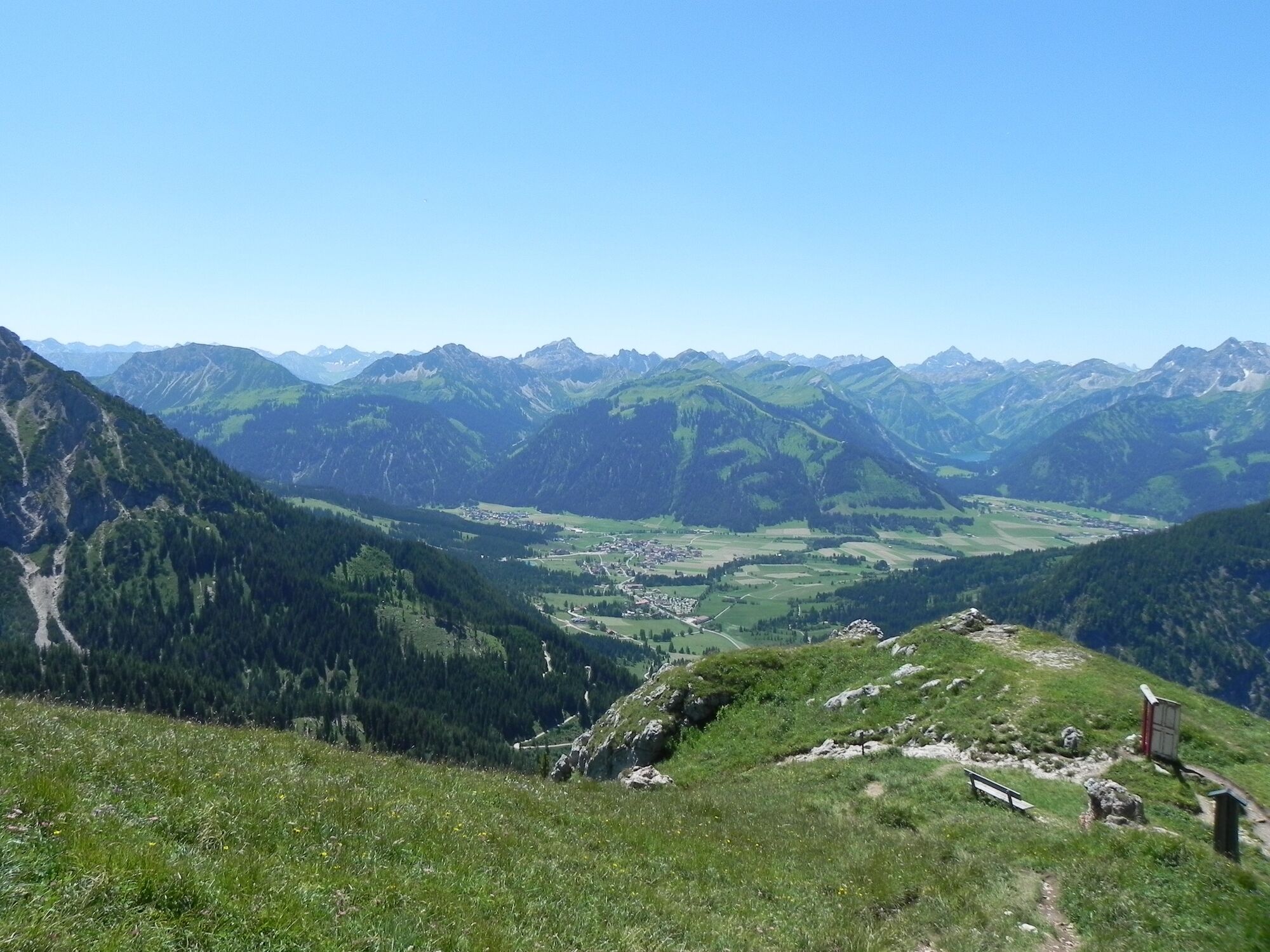
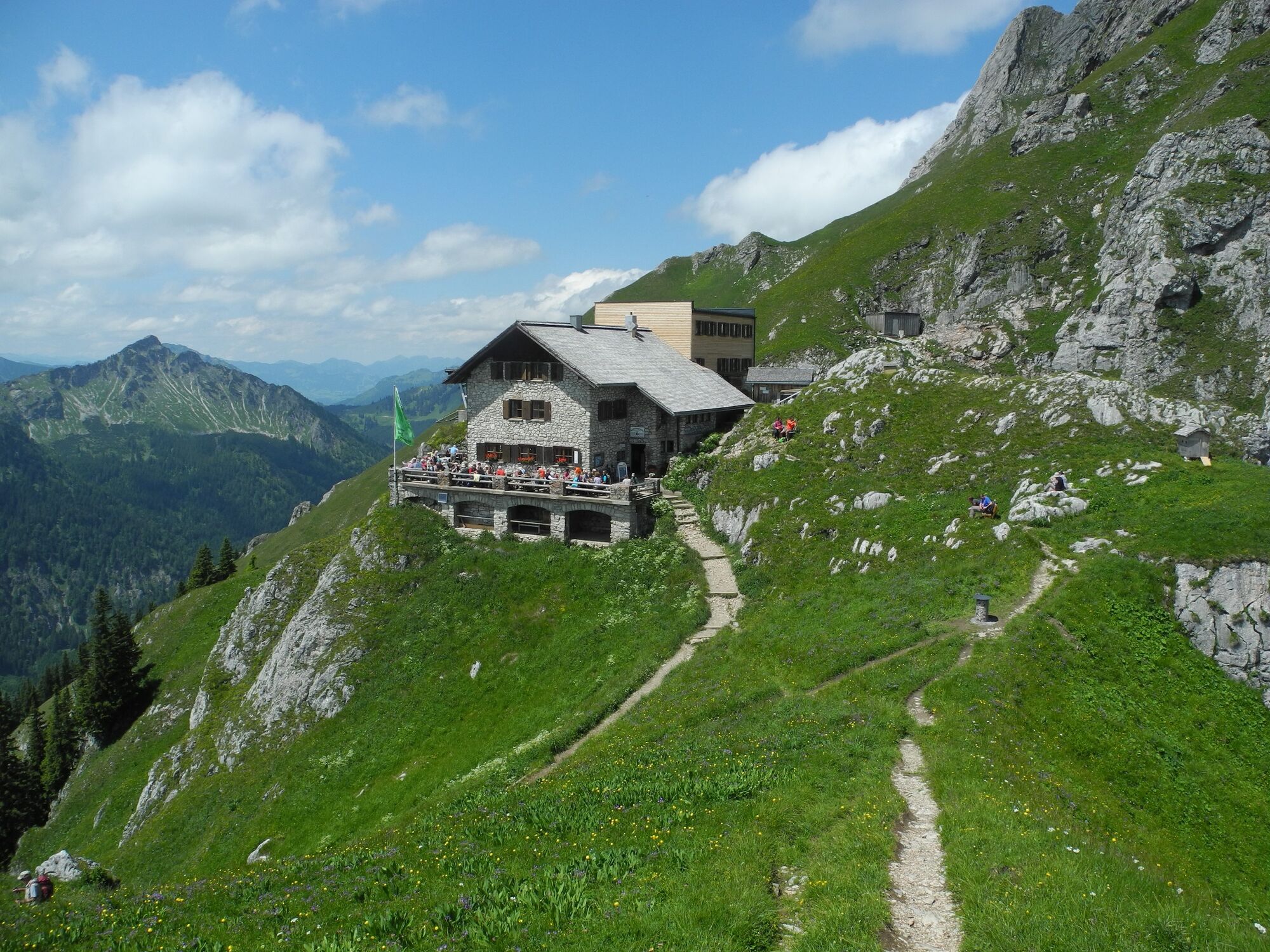
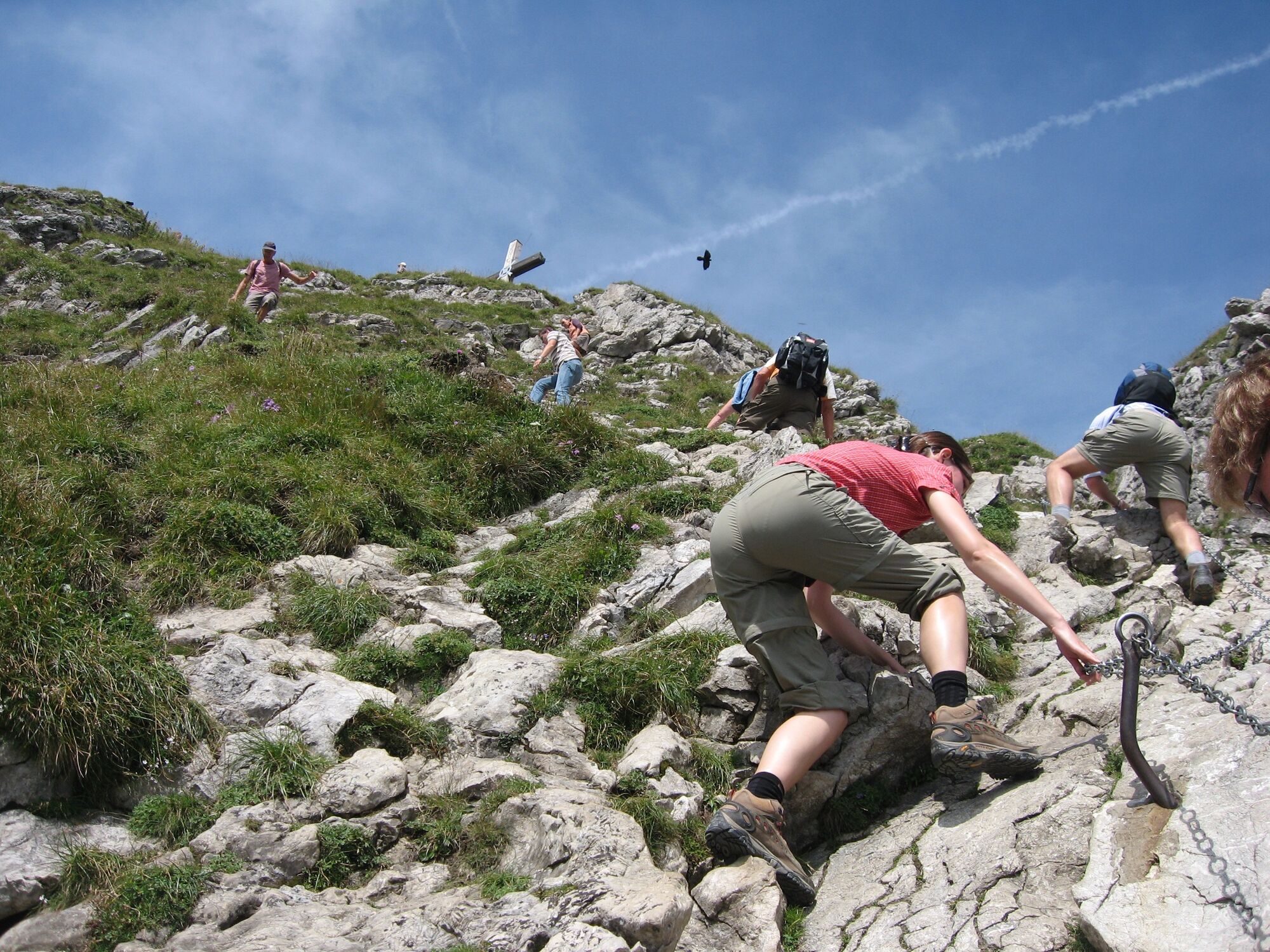
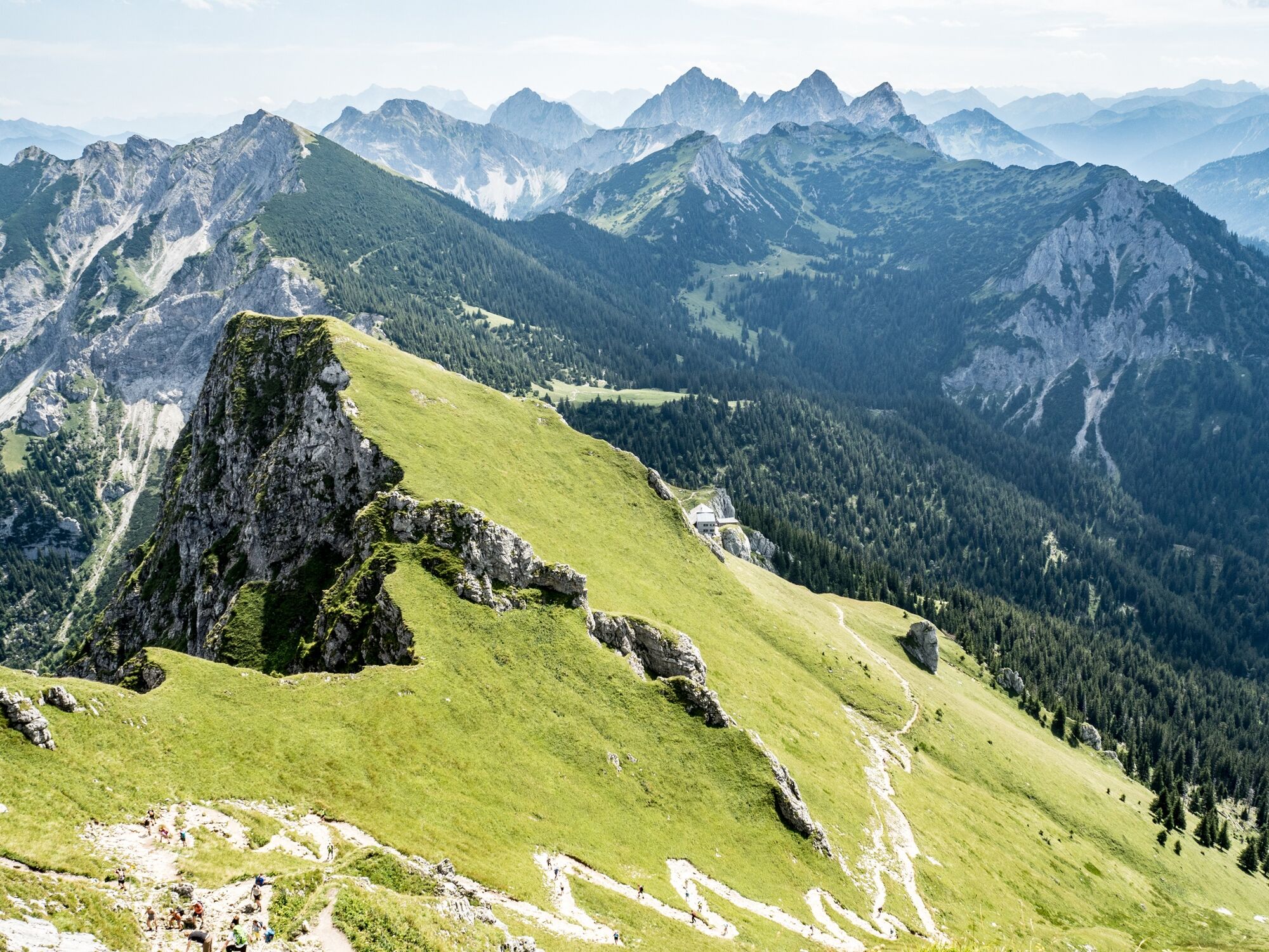
Walk up to the mountain to the Bad Kissinger Hütte 1788m. The Aggenstein way is secured with rope - surefootedness is required.
- Starting point
-
Hotel Lumbergerhof
- Route
-
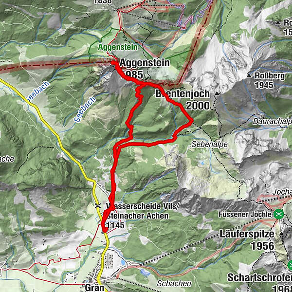
Lumberg0.3 kmGeißstein3.9 kmAggenstein (1,985 m)4.4 kmBayern-Tirol Sattel4.6 kmBad Kissinger Hütte5.1 kmLumberg9.3 km
- Description
-
Start directly from the hotel to the trail Bad Kissinger Hütte. Along the mountain path up to the hut. Passing the hut follow path to the summit Aggenstein. The last meters are secured with a rope, short Kraxel route.Sure-footedness is required! Return equal to the Bad Kissinger Hütte. After lunch descend on the Sebenalpe, a short rocky section requires sure-footedness, descend further Grän.
- Highest point
- 1,948 m
- Height profile
-

- Directions
-
by foot: Starts at the hotel

-

-
AuthorThe tour Aggenstein 1985m is used by outdooractive.com provided.
GPS Downloads


Other tours in the regions
-
Allgäu
2362
-
Tannheimer Tal
1453
-
Grän-Haldensee - Füssener Jöchle
570


