Tour data
12.5km
780
- 1,869m
1,252hm
1,252hm
05:30h
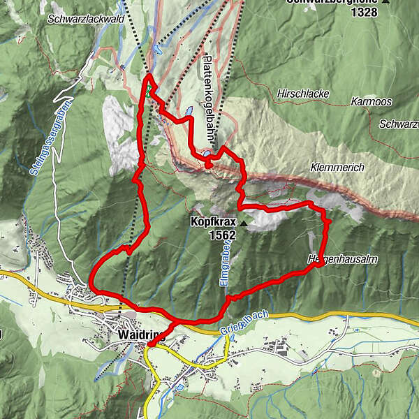
- Difficulty
-
medium
- Rating
-
- Starting point
-
Dorfzentrum Waidring
- Route
-
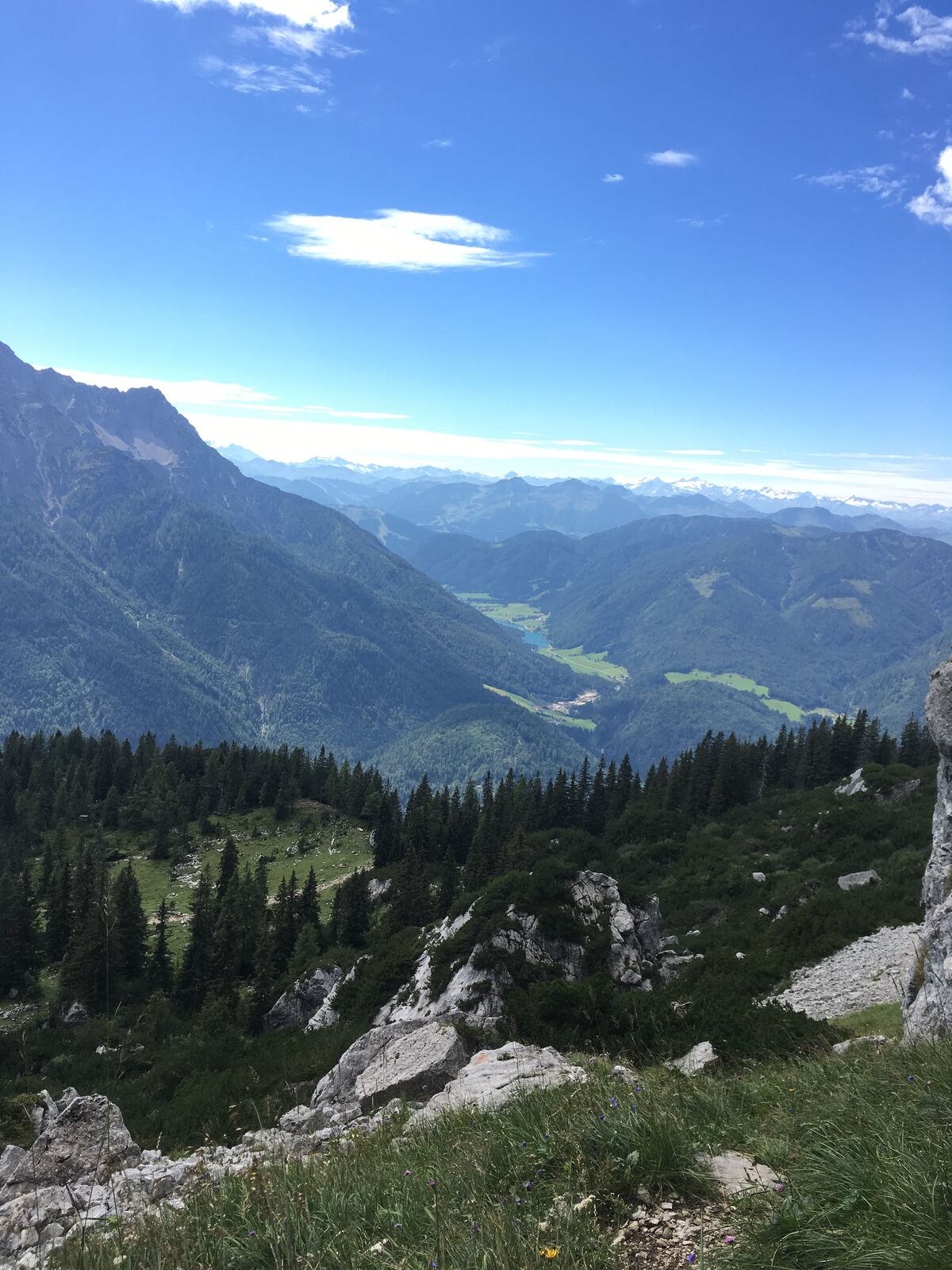
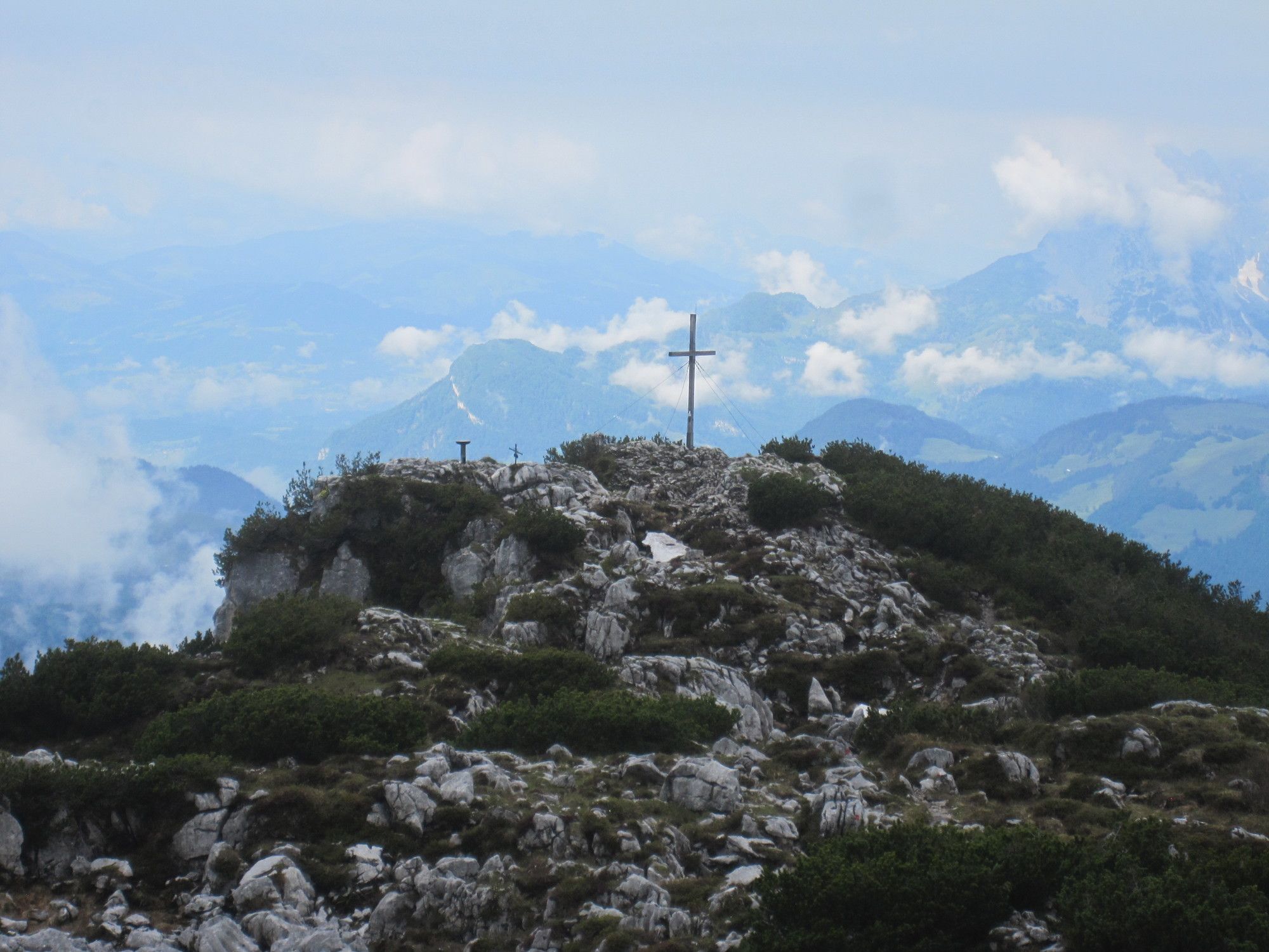
Gasthof zur PostWaidringWemeteigenalm3.6 kmSimonbauer Marterl3.7 kmSteinplatte (1,869 m)5.9 kmSteinplattengipfel (1,848 m)6.1 kmBerghaus Kammerkoer7.2 kmSchredergasse11.1 kmWaidring12.9 km
- Best season
-
JanFebMarAprMayJunJulAugSepOctNovDec
- Description
-
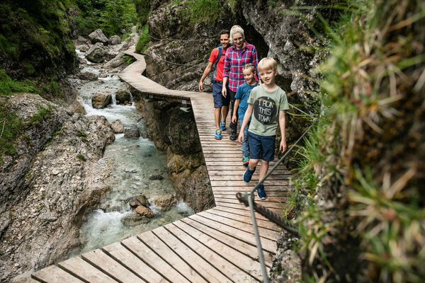
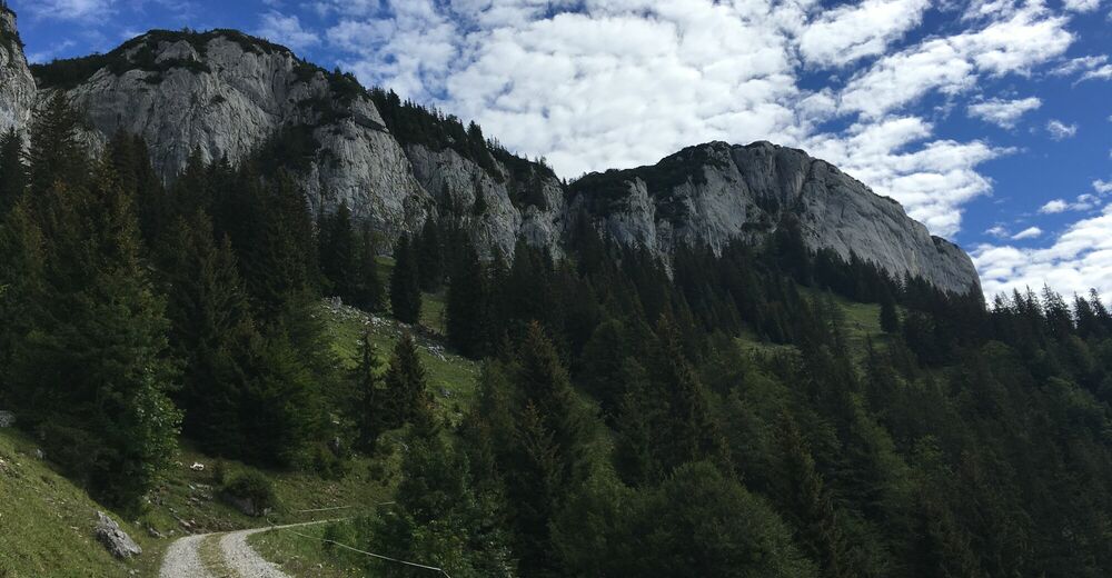
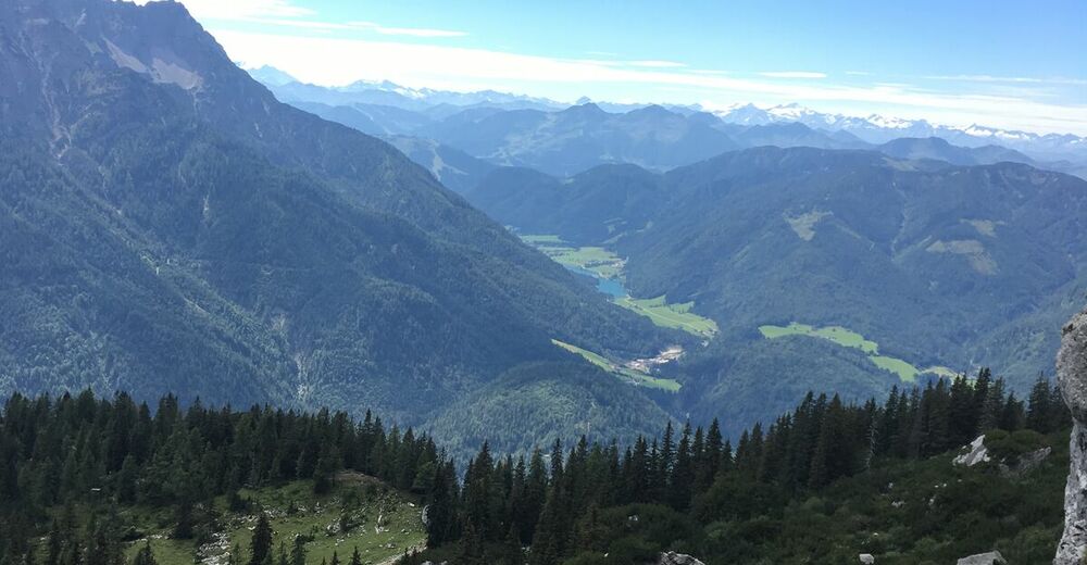
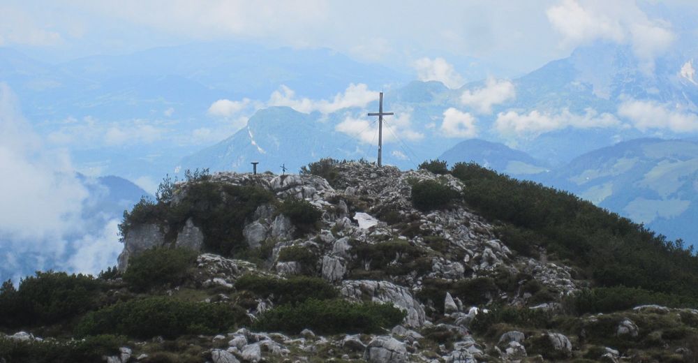
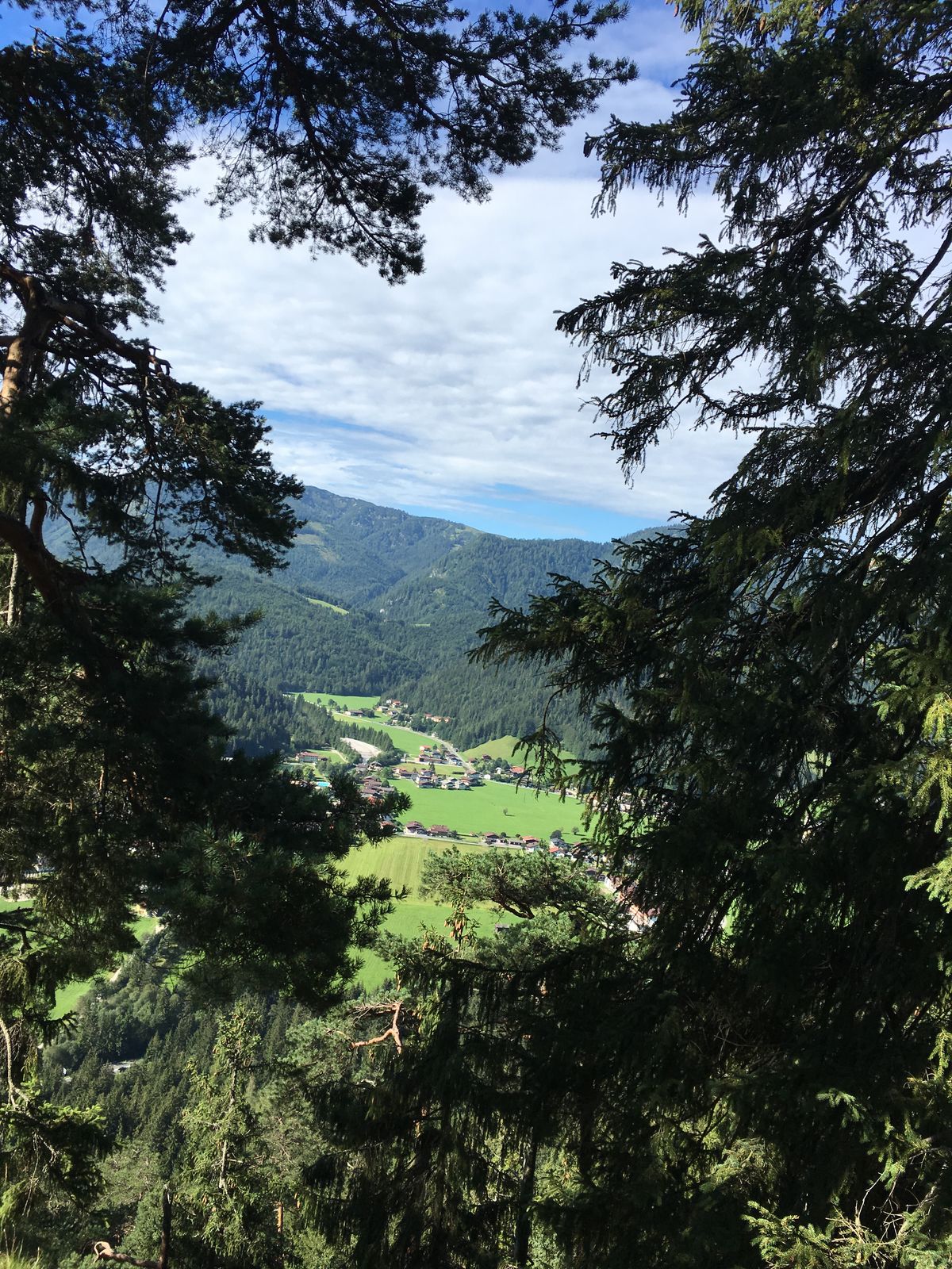
From the village center you walk through the „Hintergasse“
and the underpass. Follow the Elmbachsteig
on the right and walk up to the Wemeteigenalm and
then further on to the Wieslochsteig. From there you
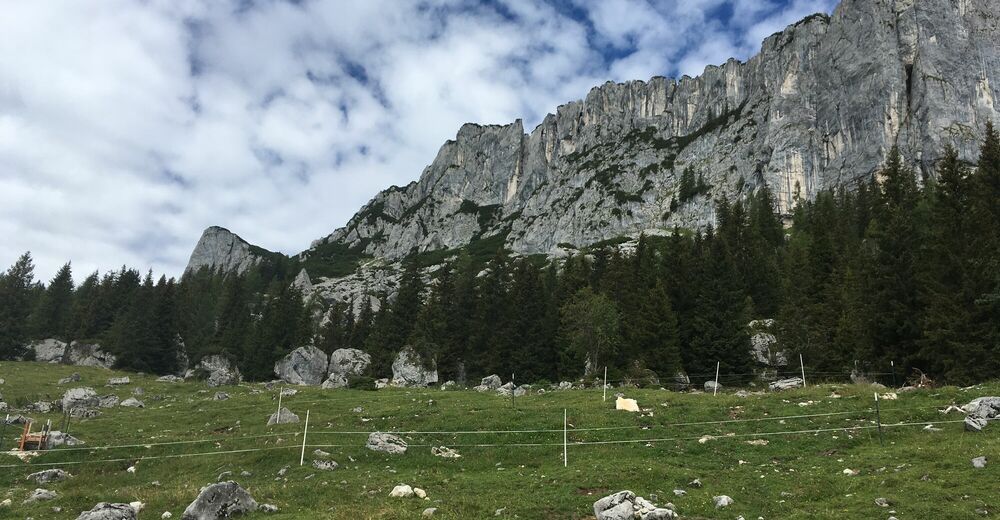
climb over a belayed track up to the peak. You return
over „Kammerkör“ and the Körsteig back to the Grünwaldalm.
From there you take the steep descending
track to the Schredergasse back to Waidring. Tip: Place
of power „Elmbachquelle“. Possiblity to use the cable car! - Highest point
- 1,869 m
- Endpoint
-
Dorfzentrum Waidring
- Rest/Retreat
-
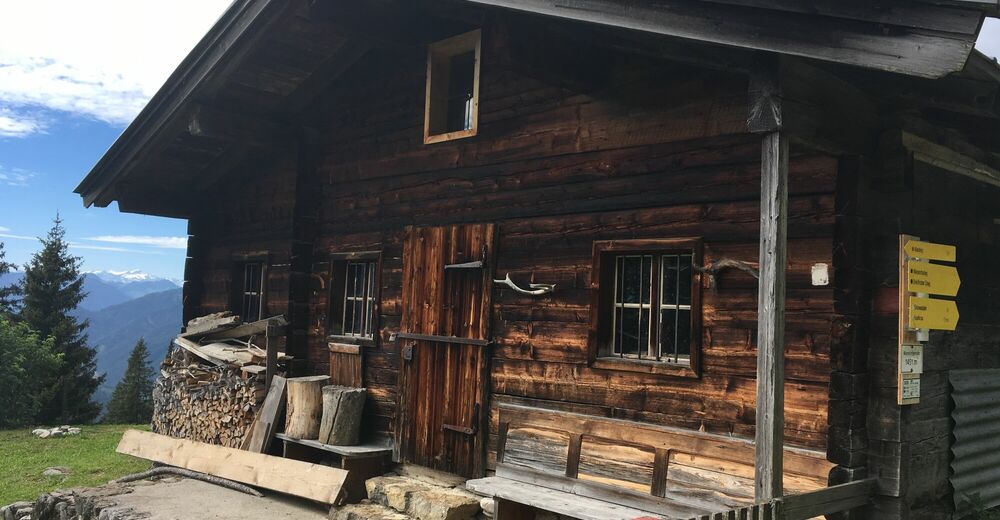
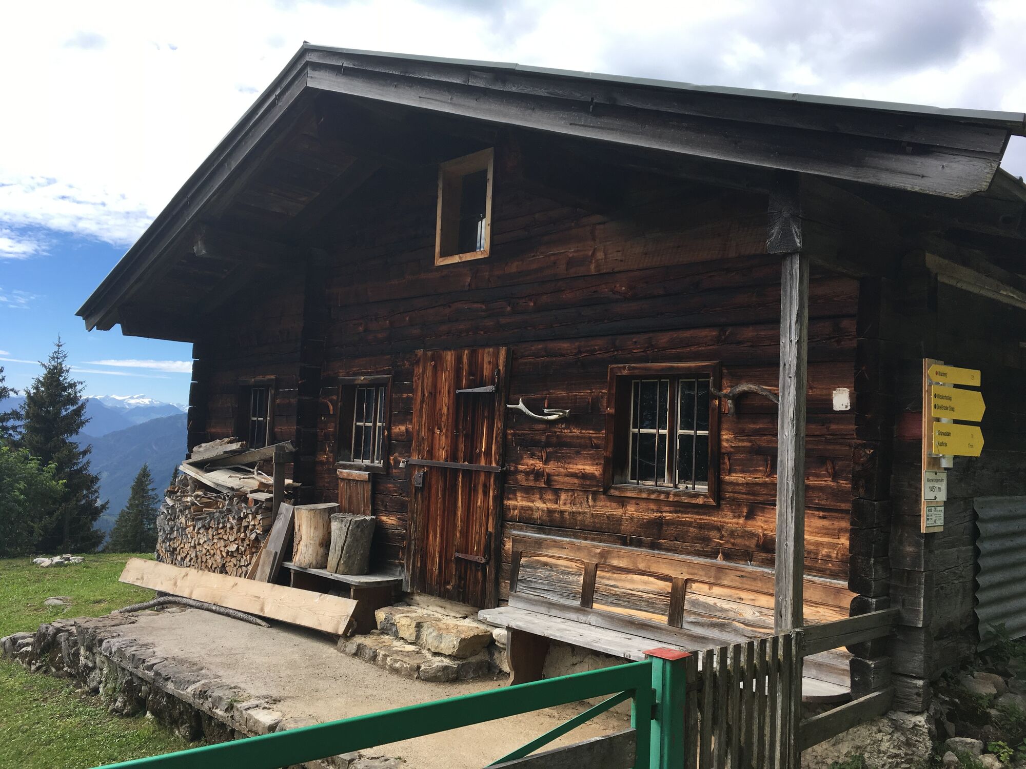
Panoramarestaurant Kammerkör
- Public transportation
-
Regiobus PillerseeTal or Postbus line 4012

GPS Downloads


Trail conditions
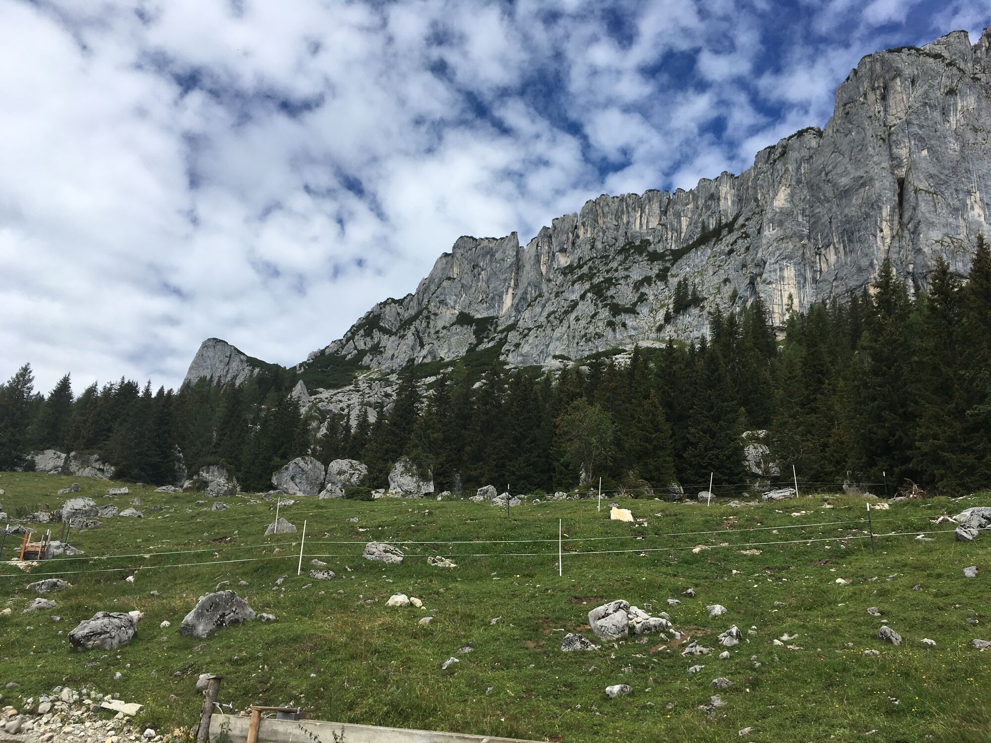
Asphalt
Gravel
Meadow
Forest
Rock
Exposed
Other tours in the regions
-
Pillerseetal
1791
-
Waidring
342