- Brief description
-
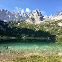
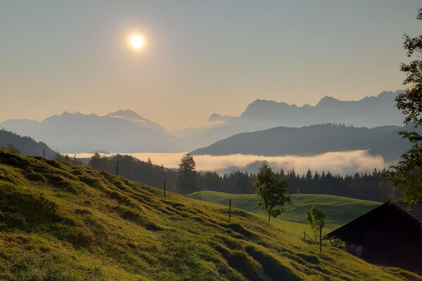
An excursion to the idyllic Seebensee, from where you have a wonderful view of the surrounding mountains.
- Difficulty
-
medium
- Rating
-
- Starting point
-
At the bottom of Ehrwalder Almbahn
- Route
-
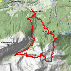
BrentAlm0.0 kmGanghofer Hütte (1,289 m)1.3 kmEhrwalder Alm2.5 kmBerggasthof Alpenglühn (1,550 m)3.0 kmSeeben Alm6.8 kmSeebenfall6.9 km
- Best season
-
JanFebMarAprMayJunJulAugSepOctNovDec
- Description
-
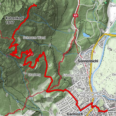
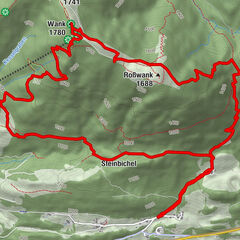
Turn right at the BrentAlm and follow the meadow path to the top station of the Ehrwalder Almbahn, continue on the forest path towards the mountain hut Alpenglühn, over the ascent through the Seeben forest, past Ganghofer's Rast and the lookout point Talblick to the Seebenalm and after a short ascent to the Seebensee. Take the same route back to the top station and down into the valley.
- Directions
-
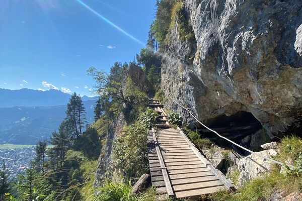
The meadow path to the Ehrwalder Alm begins above the valley station of the Ehrwalder Almbahn. At the signpost after approx. 20 m on the left meadow path continue to the stream, past the Ganghofer Hütte the forest path to the Ehrwalder Alm to the stream then diagonally up over the opposite slope into the Seebenwald (short climb). Now either on the road through the Seebenwald, past Ganghofer's rest (the junction to the Immensteig is difficult here) to the valley view (stamping point) - or nicer - on the footpath towards Seebensee. Continue to the Seebenalm (stamping point). After a short climb to the beautiful Seebensee (stamping point). From here it is possible to get to the Coburger Hütte (approx. 40 min.). Return the same way. Experienced mountain hikers can go back via the Hohe Gang - surefootedness and a head for heights are required - black marking!It is also possible to travel on the Ehrwalder Almbahn. Time saving approx. 1 hour
- Highest point
- 1,665 m
- Endpoint
-
Seebensee
- Height profile
-
- Equipment
-
Sturdy shoes and rainwear.
- Tips
-
For experienced hikers, the Seebensee is the starting point for many demanding hikes.
- Additional information
- Directions
-
Connections from Innsbruck only by car via A12 (1h 17min).
Connections from Munich only by car via A95 (1h 40min).
- Public transportation
- Parking
- Author
-
The tour Ehrwald - Seebensee via Ehrwalder Alm is used by outdooractive.com provided.
General info
-
Mieminger Plateau & Inntal
1676
-
Zugspitze
436


