- Brief description
-
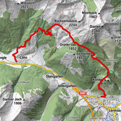
Schmale Pfade, kleine Kapellen und ein tosender Wassefall sind das Rezept für eine ausgefüllte Wanderroute. Auf der Stuibenfall Schleife verfeinert zudem die Bilderbuchlandschaft der Naturparkregion Reutte die Attraktionen des Rundweges.
- Difficulty
-
medium
- Rating
-
- Route
-
Frauenbrünnele2.7 kmStuibenfälle3.7 kmStuiben Falls Bridge4.8 km
- Best season
-
JanFebMarAprMayJunJulAugSepOctNovDec
- Highest point
- 994 m
- Endpoint
-
Umspannwerk bei den Planseewerkern Reutte
- Height profile
-


-

-
AuthorThe tour Stuibenfall Schleife is used by outdooractive.com provided.
GPS Downloads


General info
Insider tip
Flora
Fauna
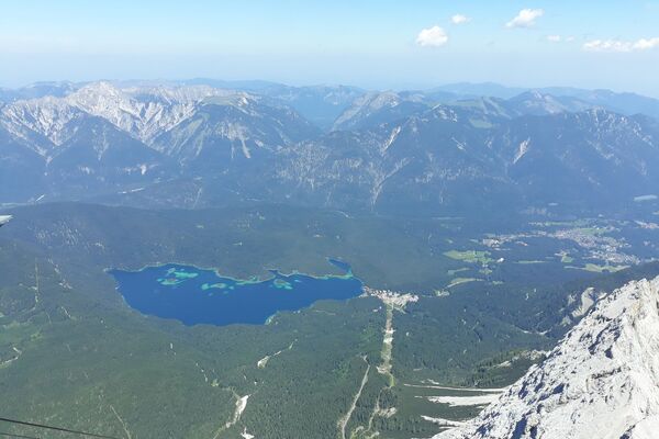
A lot of view
Other tours in the regions
-
Naturparkregion Reutte
1435
-
Breitenwang
515