© TVB Wilder Kaiser - TVB Wilder Kaiser/Manuel Bialucha

© TVB Wilder Kaiser - TVB Wilder Kaiser/Daniela Pfeiler

© TVB Wilder Kaiser - TVB Wilder Kaiser/Daniela Pfeiler

© TVB Wilder Kaiser - TVB Wilder Kaiser/Daniela Pfeiler

- Brief description
-
The best seat in the house for a view of the Wilder Kaiser!
- Difficulty
-
easy
- Rating
-
- Starting point
-
Hiking starting point Going center (former tourist information Going) (764 m)
- Route
-
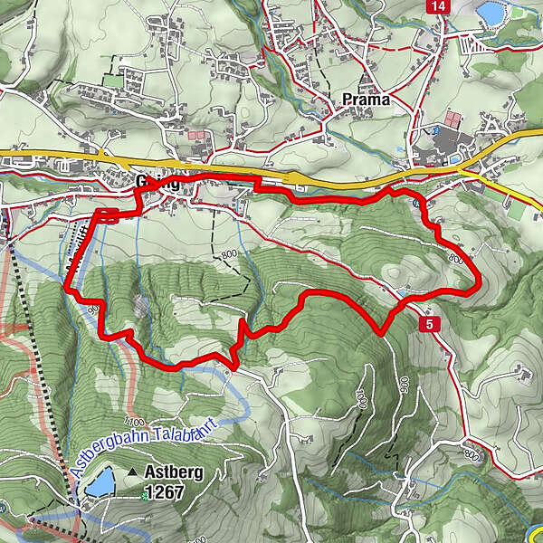
Going0.1 kmDorfwirt0.2 kmSchattseite2.1 kmGoing5.6 km
- Best season
-
JanFebMarAprMayJunJulAugSepOctNovDec
- Description
-
This enjoyable tour boasts a number of excellent views and departs from the hiking starting point Going center (former tourist information Going) (764 m).
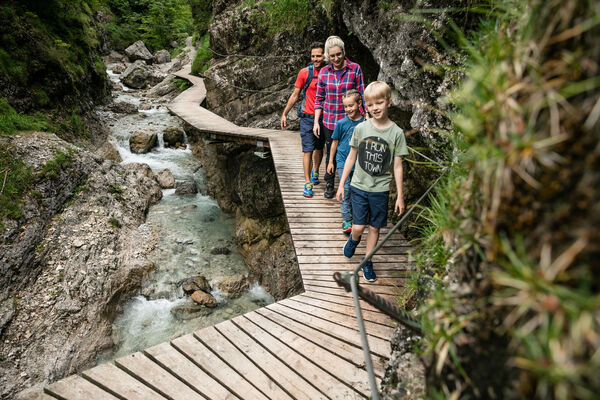
You will firstly head along the Going Hausbach stream until you reach the Dorfwirt inn with its associated chapel. The bench is an inviting option for having a quick break and taking a look at what’s going on in the village.
The trail leads further along the stream and takes you past the baker’s, where you might well get a scent of freshly-baked bread made from regional products.
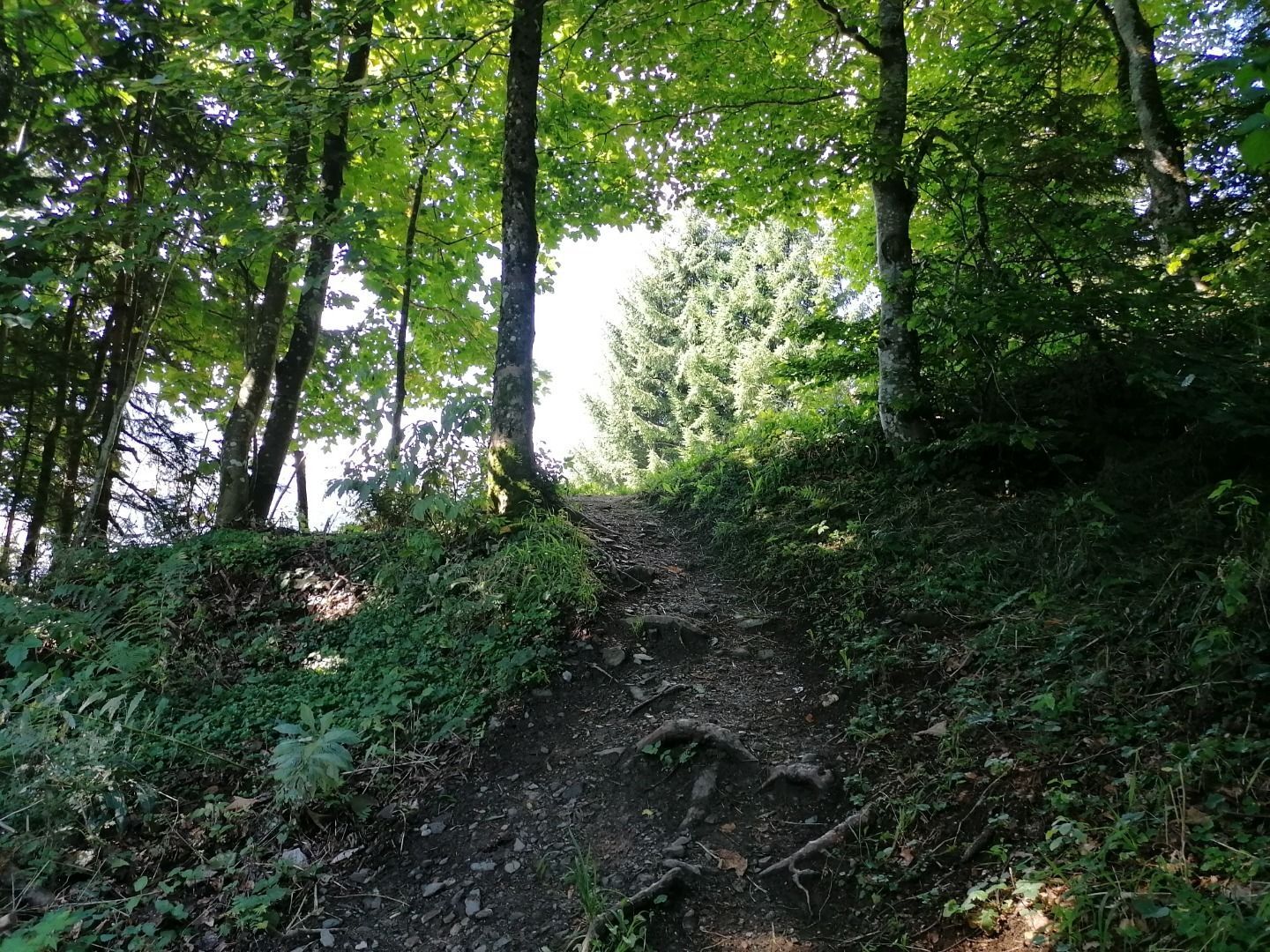
At the end of the village, you will come to a large car park. There, you should cross the bridge located to your right and head in the direction of the fire station. After the bridge, bear left onto a gravel path that will take you towards the Stanglwirt hotel. The gentle rushing of the Going Hausbach stream will accompany you as you make your way. Enjoy the idyllic walk through the forest and breathe in its natural energy. In summer, the forest provides cool shades on hot days.
At the signpost "Auhäusl" turn right in the direction of Hollenauer Kreuz and follow the path to Nottenberg farm. Head past blooming fields and meadows while taking in the view of the Kitzbühel Alps in front of you. There is an easy walk until you reach Söllnerstrasse intersection, which you should cross before following the signpost directing you to the Hollenauer Kreuz refreshment stop.
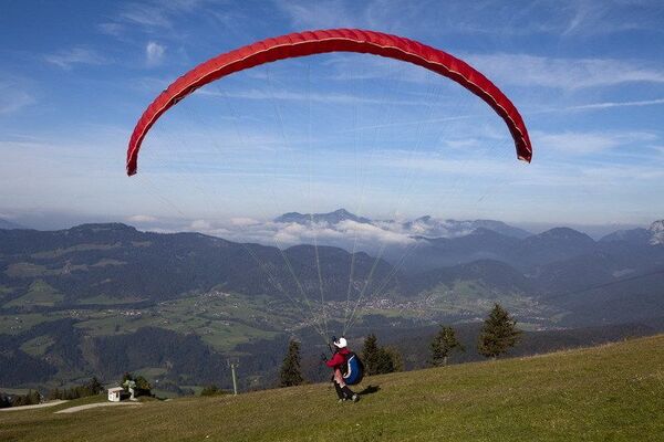
At this power place of going, located at 1,030 metres, you can expect the best natural viewpoint for the Wilder Kaiser as well as homemade apple strudel. Simply relax and take in the view over the Wilder Kaiser region.
After a refreshing break, follow the trail to Going across the meadows and through the forests until you reach the training ski lifts. Here, you will need to bear right to return to the starting point.
- Highest point
- 1,018 m
- Endpoint
-
Hiking starting point Going center (former tourist information Going) (764 m)
- Height profile
-

- Equipment
-
Rucksack, hiking/mountaineering boots, hiking gear (breathable), sun protection (sunglasses, sun cream, headgear), waterproofs (hardshell), water bottle, food for eating on the way, hiking poles if desired, plastic bag for waste, hiking map
- Directions
-
Heading from Wörgl or Kufstein on the B178 road, take the exit to Going. Pass the Tourist Information office and turn sharply right just after the bridge. Pass the supermarket "M-Preis" and turn left after the "Schedererhaus" and immediately right again in front of the ski school.
Heading from St. Johann on the B178 road, take the first exit to Going and drive through the village. Before the bridge turn diagonally left. Pass the supermarket "M-Preis" and turn left after the "Schedererhaus" and immediately right again in front of the ski school. - Public transportation
-
KaiserJet or Postbus stops “Going Dorf”.
More information at: www.wilderkaiser.info - Parking
-
Public car par Schedererfeld, Going (780 m) - free


- Author
-
The tour Hollenauer Kreuz circular hiking route is used by outdooractive.com provided.
GPS Downloads


General info
Refreshment stop
Flora
Fauna
Other tours in the regions
-
Wilder Kaiser
1951
-
Going
627