

- Brief description
-
A fantastic hike in the heart of the Tannheimer Tal.
- Difficulty
-
easy
- Rating
-
- Starting point
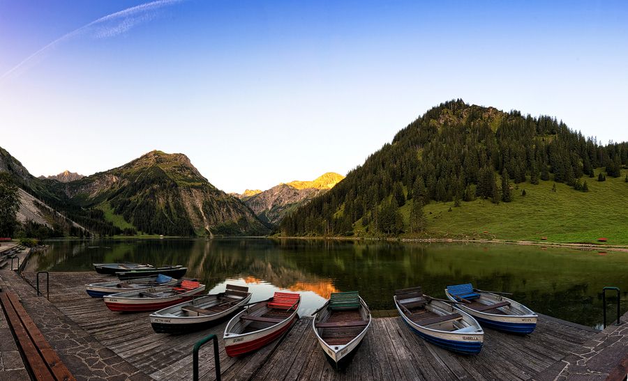
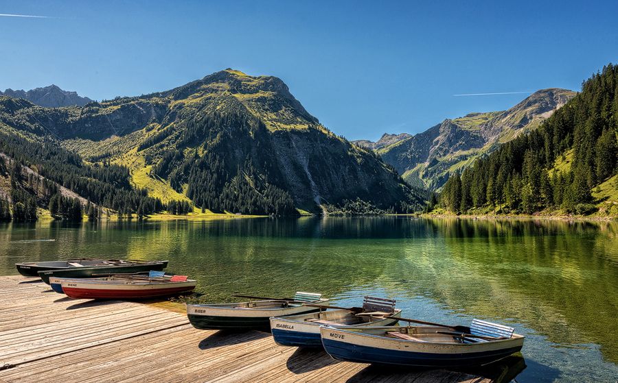
-
Parking at Vilsalpsee - parking fee
- Route
-
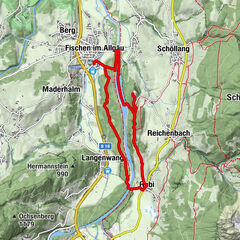
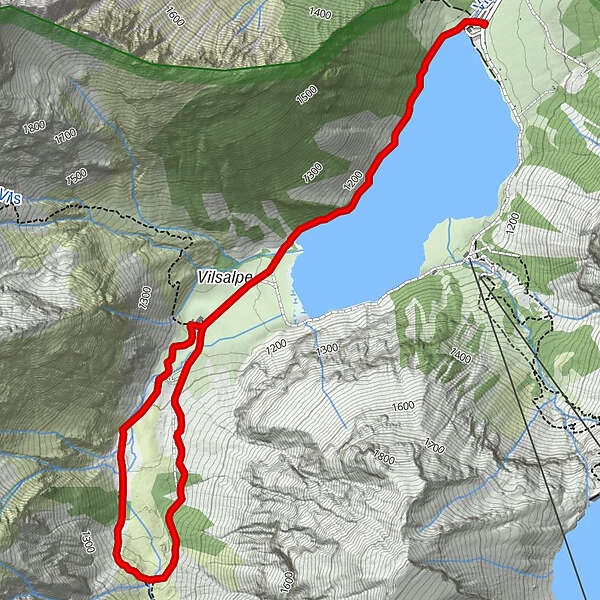
Haubentaucher0.1 kmVilsalpe1.8 kmVilsalpe4.5 kmHaubentaucher6.3 km
- Best season
-
JanFebMarAprMayJunJulAugSepOctNovDec
- Description
-
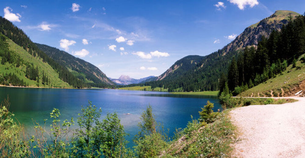
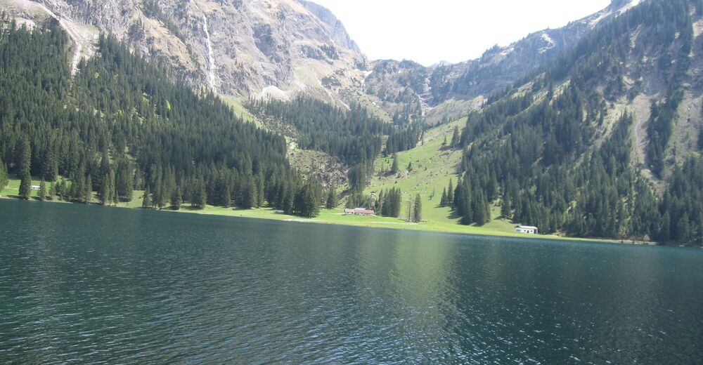
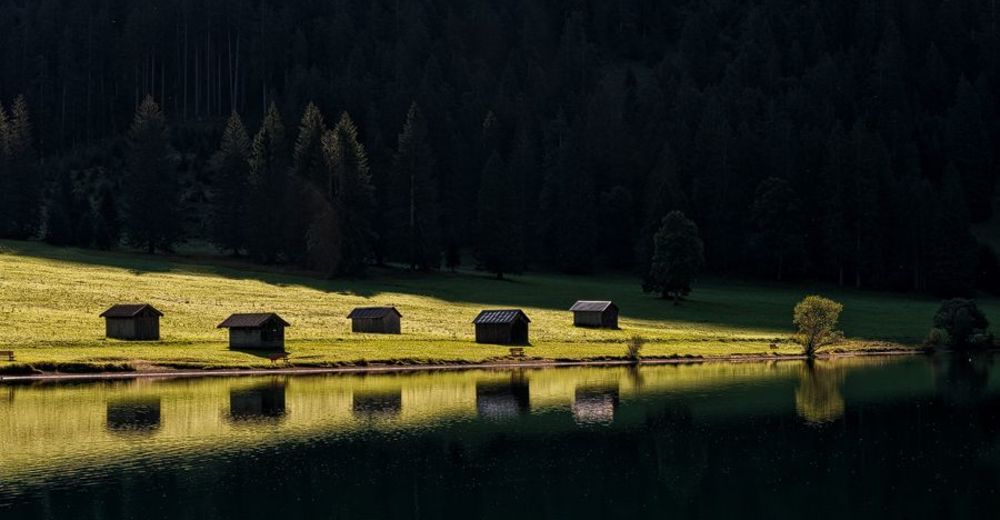
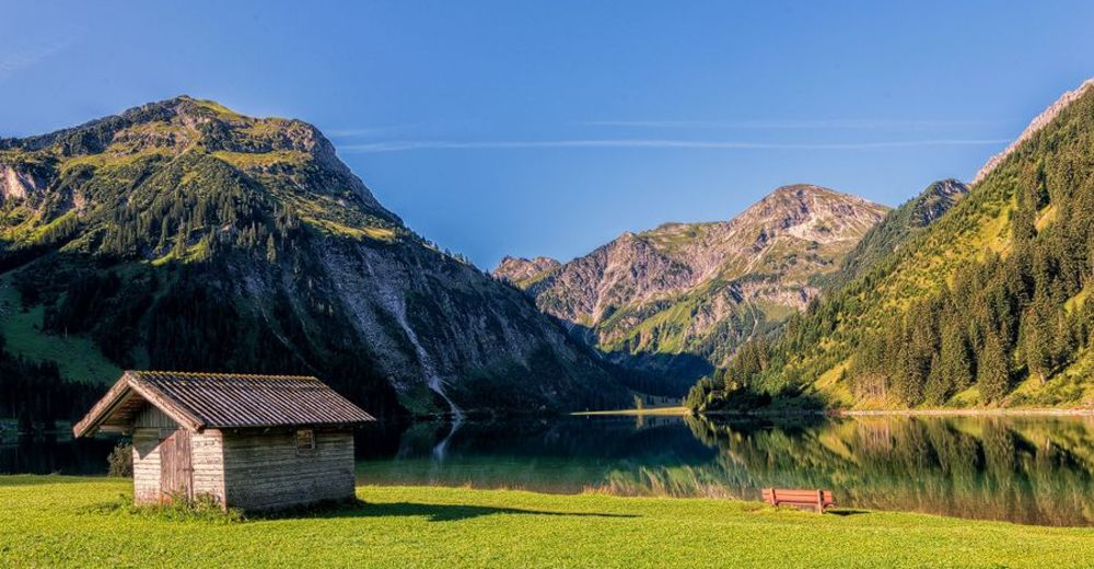
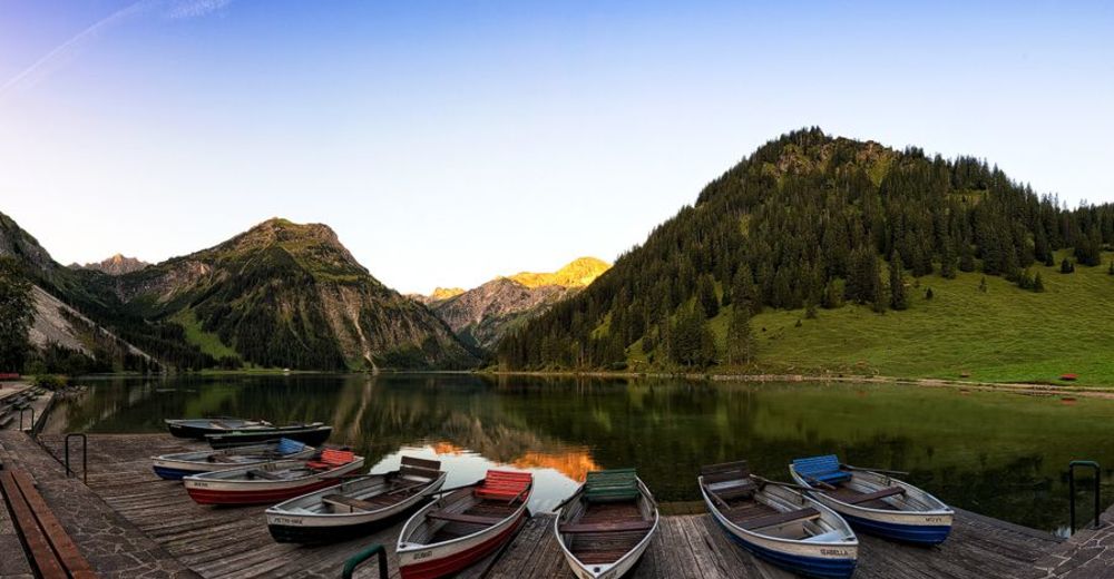
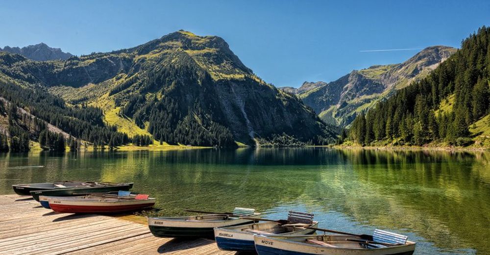
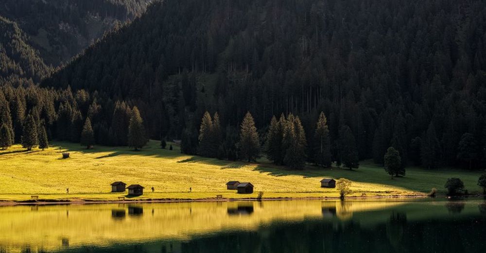
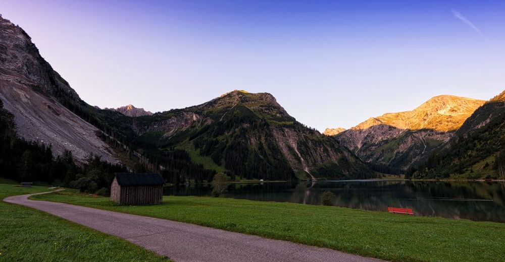
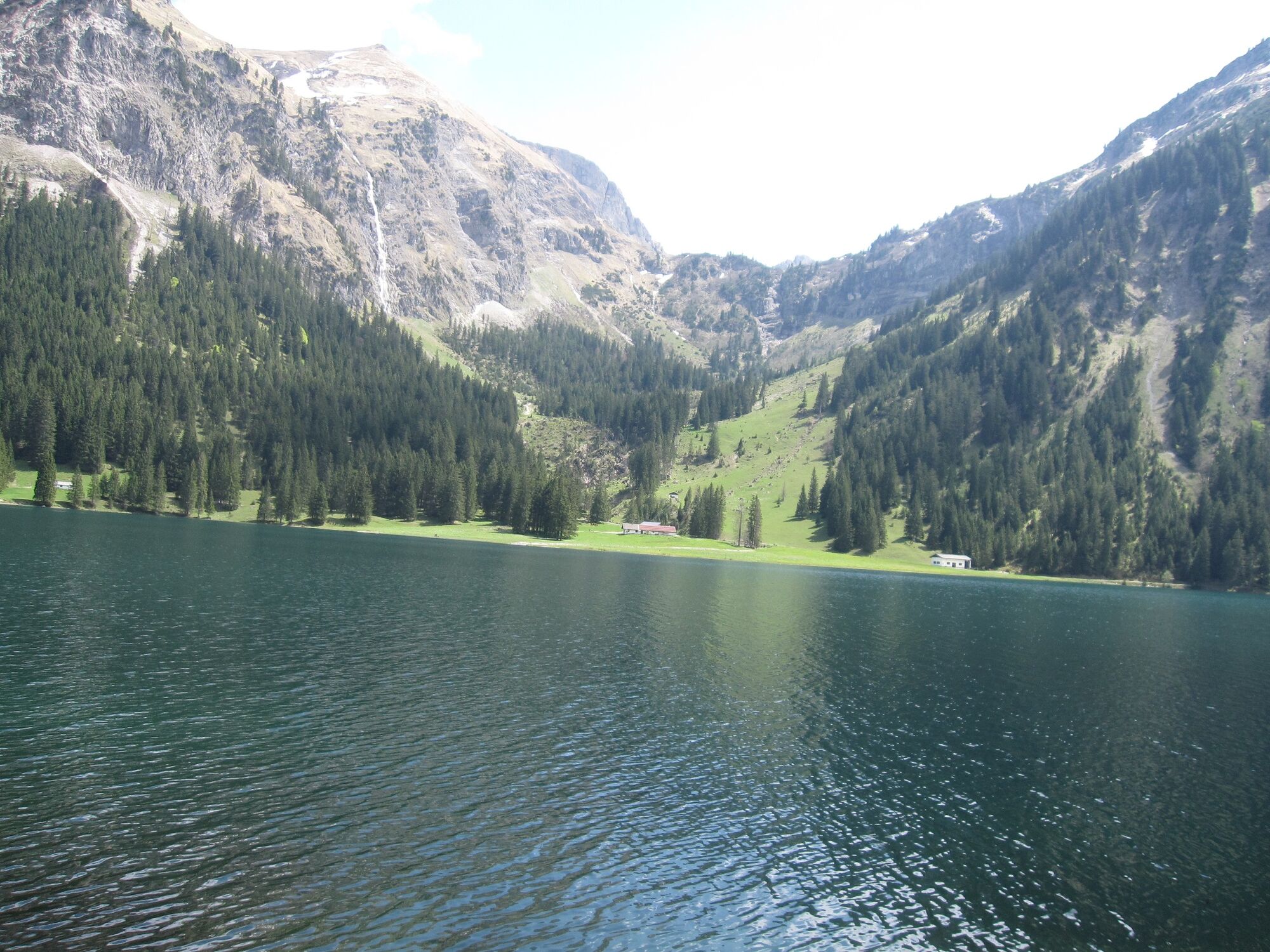
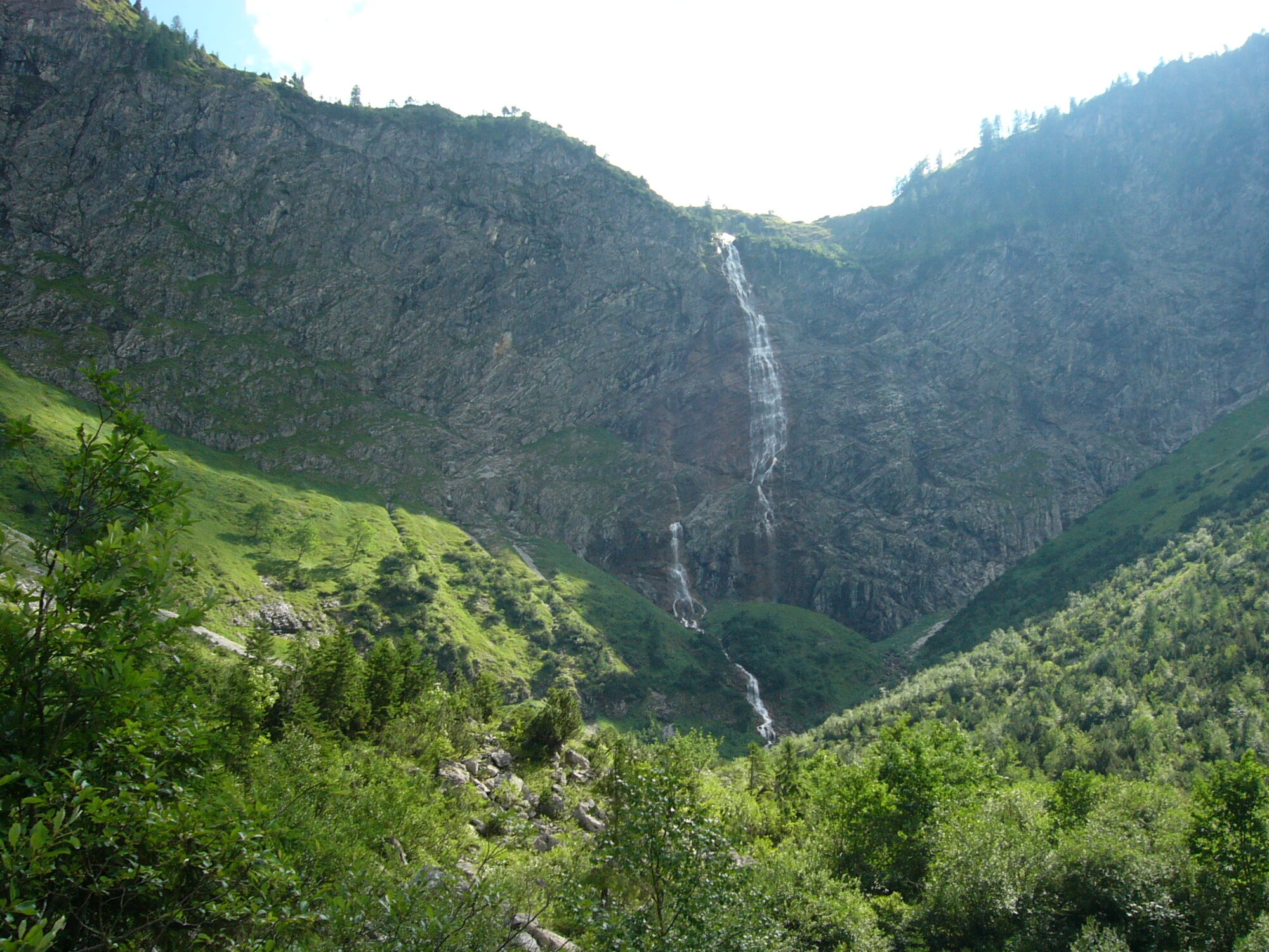
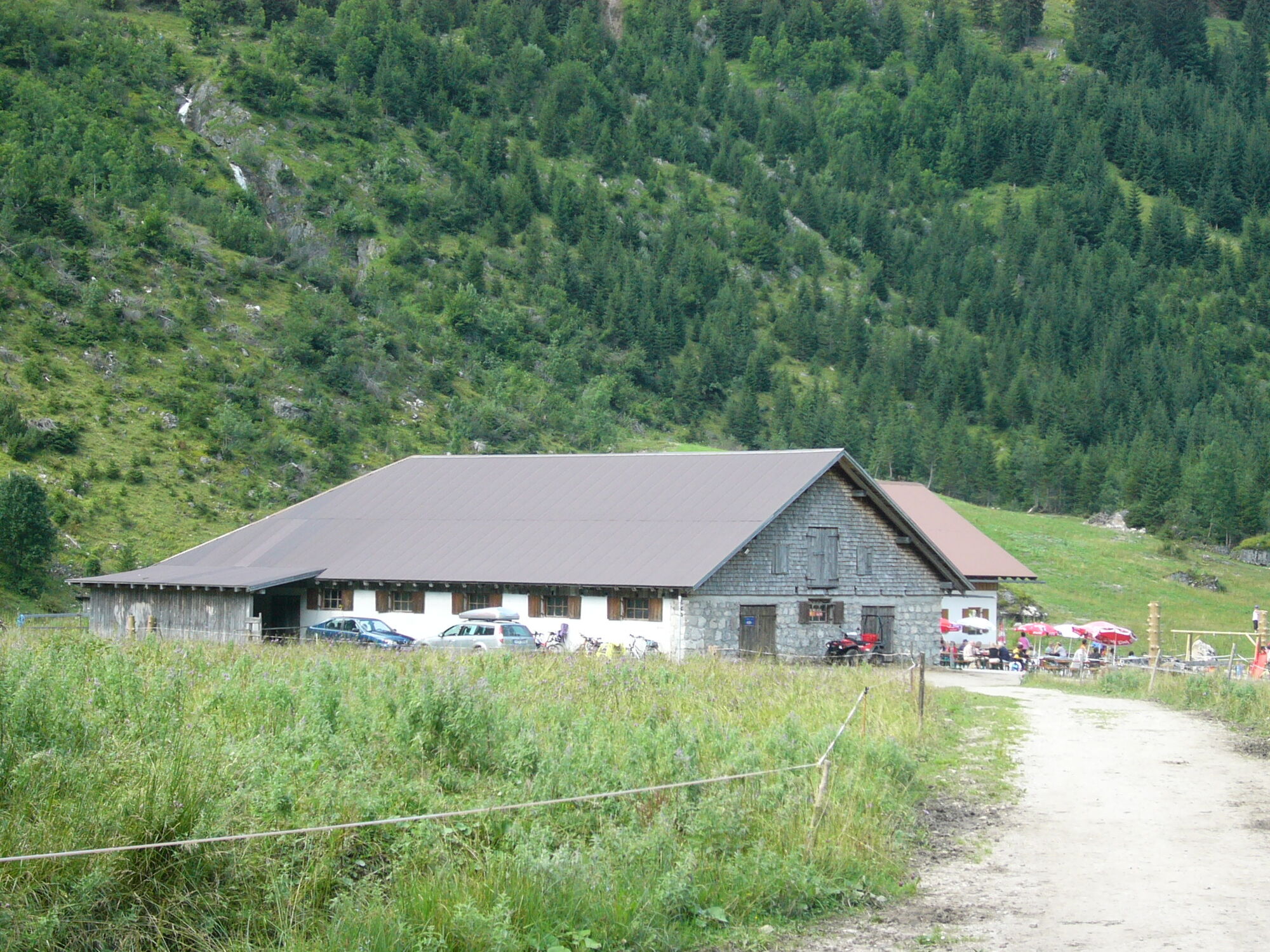
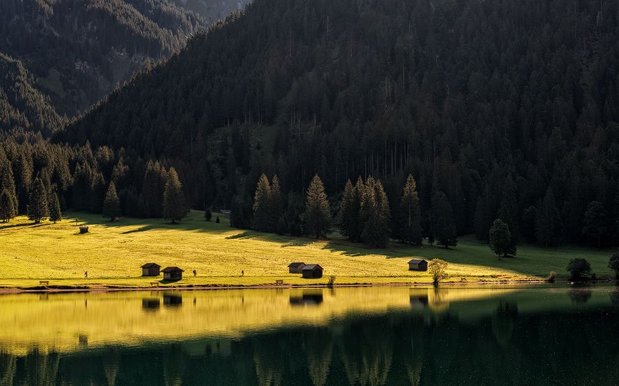
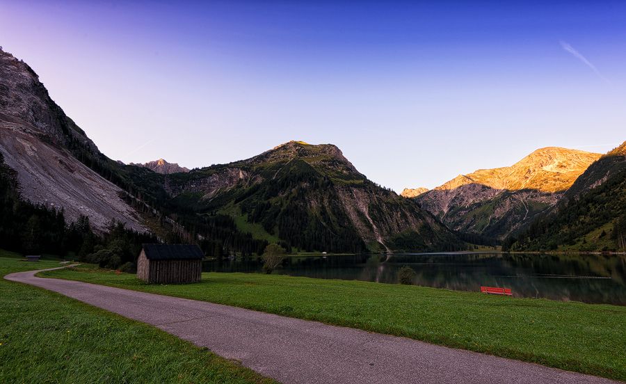
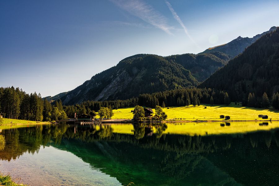
Since the area around the Vilsalpsee has been designated as a nature reserve for over 50 years and is also a Natura 2000 area, this hike has a special charm.Starting point and also end point is the inn directly at the Vilsalpsee. Counterclockwise, past the Fischerstube over the bridge, you will head towards Weltlingalpe. The gravel path, wide and easy to walk on, runs on this side of the lake exactly on the shore. At the rear end of the lake is the farmed Vilsalpe. From here a circular path leads to the beautifully situated waterfall "Bergacht". Back it goes again over the Vilsalpe and on the same side of the shore to the starting point, because the last section of the eastern shore between power station and Vilsalpe is closed because of the danger of falling rocks.
- Directions
-
From the car park along the west bank to the Vilsalpe, on to the Bergacht waterfall and back to the starting point.
- Highest point
- 1,256 m
- Endpoint
-
Vilsalpe
- Height profile
-

- Equipment
-
The personal mountaineering equipment must be safe and serviceable and meet the relevant technical standards. Every hiker is recommended to obtain information about the planned tours from specialist alpine literature or on site.
- Safety instructions
-
It should be noted that in mountaineering there is an increased risk of accidents and injuries. Despite careful route planning, a basic risk always remains. Tour preparation through endurance sports, appropriate technical training and further education as well as personal prudence reduces the danger of accidents and risks. However, please never forget that the weather in the mountains can change very quickly. Stay on the marked hiking trails.
- Tips
-
Worth seeing fauna and flora along the entire route.
- Directions
-
On the motorway A7 at the exit "Oy-Mittelberg" on the B310 towards Wertach and to Oberjoch. There follow the signposting "Tannheimer Tal" B199, exit Tannheim, to Vilsalpsee. ATTENTION: the entrance to the Vilsalpsee is closed from 10 to 17 o'clock!From the Tyrolean side via Reutte on the B198 direction Lechtal to Weißenbach, over the Gaichtpass along the B199 to exit Tannheim, to the Vilsalpsee. ATTENTION: the entrance to the Vilsalpsee is closed from 10 to 17 o'clock!
- Public transportation
-
By train to Sonthofen, Pfronten/Ried or Reutte, then by bus to Tannheim.
- Parking
-
At Vilsalpsee or in Tannheim and with the public bus or the Tannheimer Alpenexpress to Vilsalpsee. Both car parks are subject to charges.


- Author
-
The tour Along the Vilsalpsee to the Bergacht waterfall is used by outdooractive.com provided.


General info
-
Allgäu
2359
-
Tannheimer Tal
1448
-
Tannheim
518