


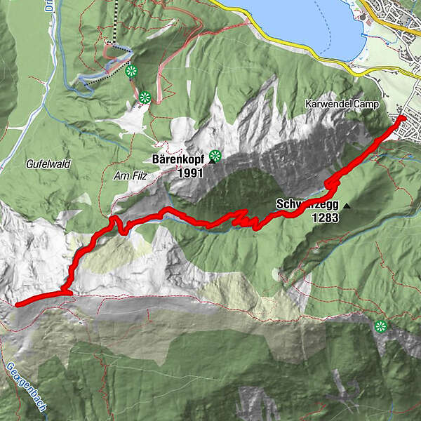
Tour data
16km
945
- 2,143m
1,208hm
1,204hm
04:04h
- Difficulty
-
medium
- Rating
-
- Route
-
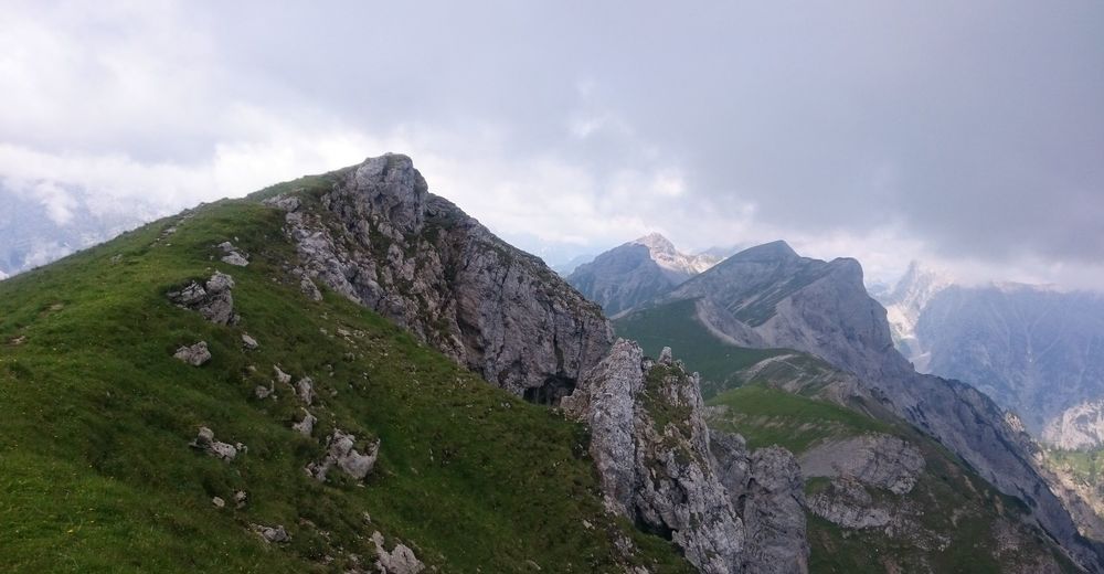
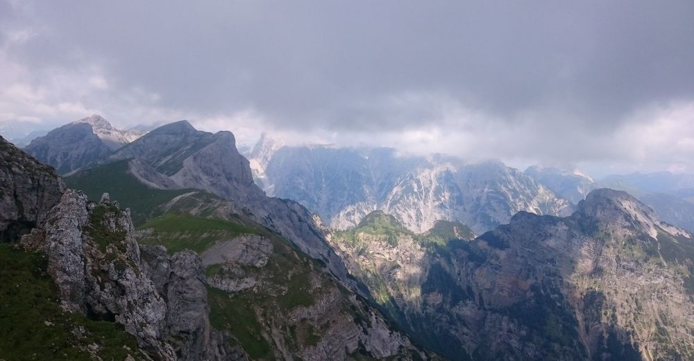
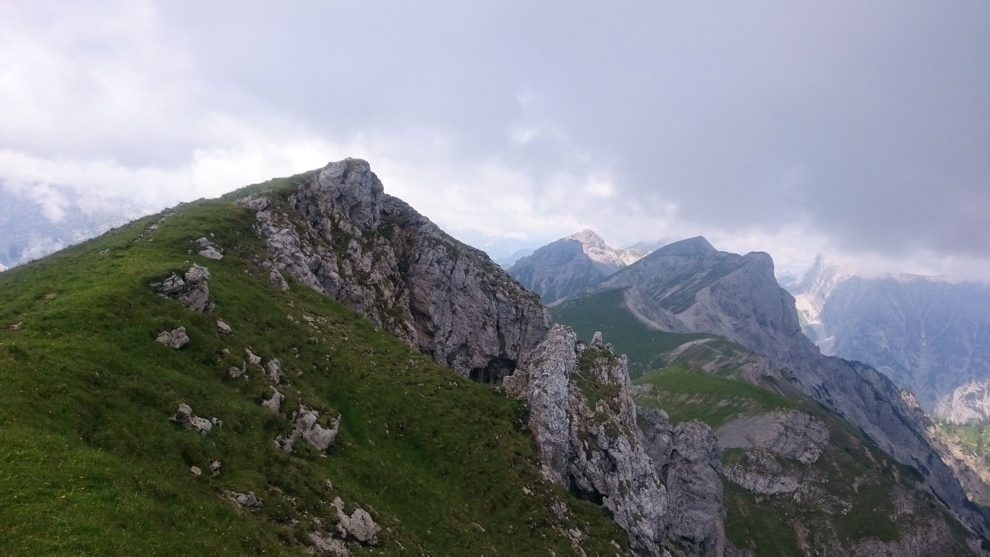
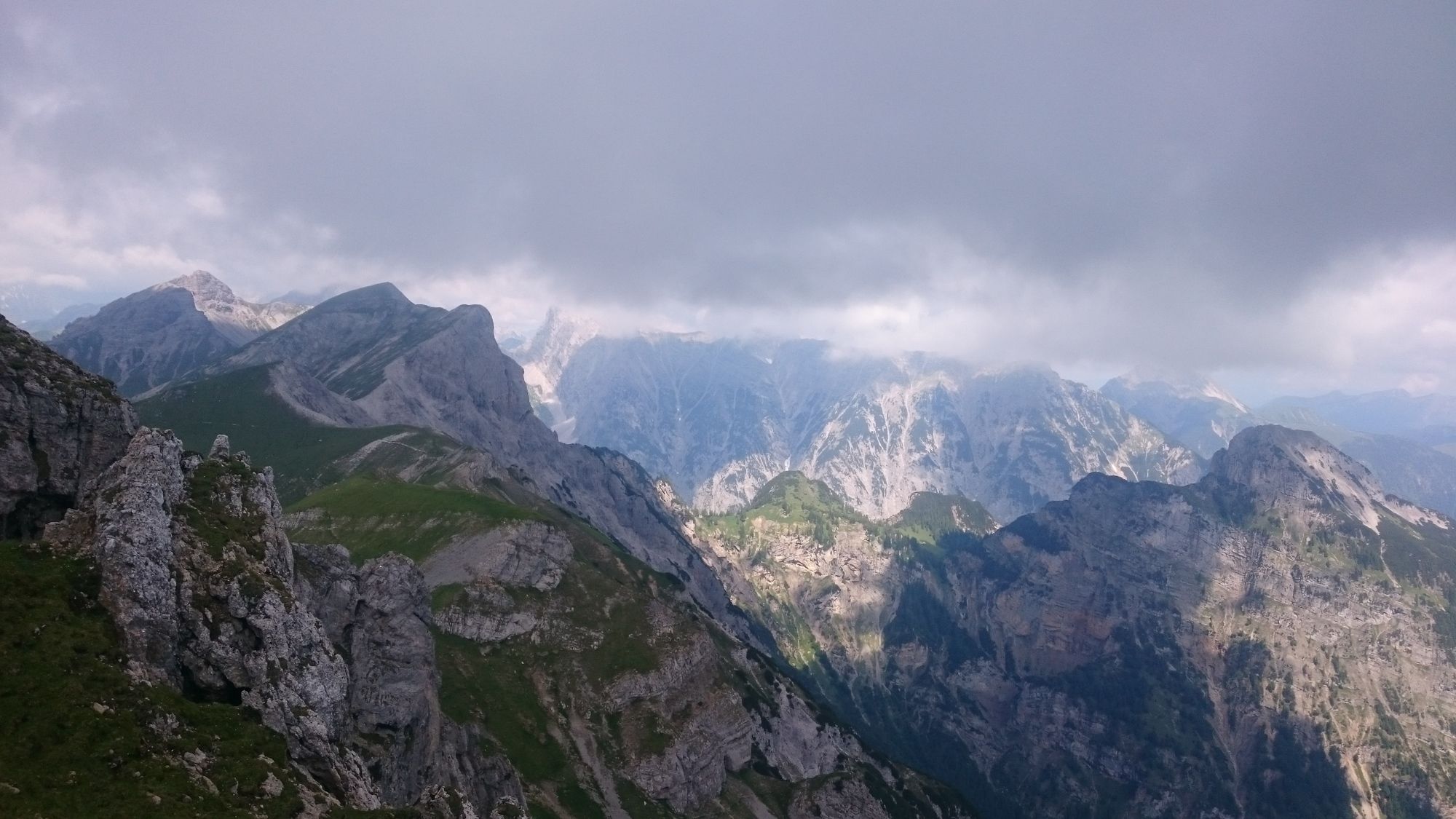
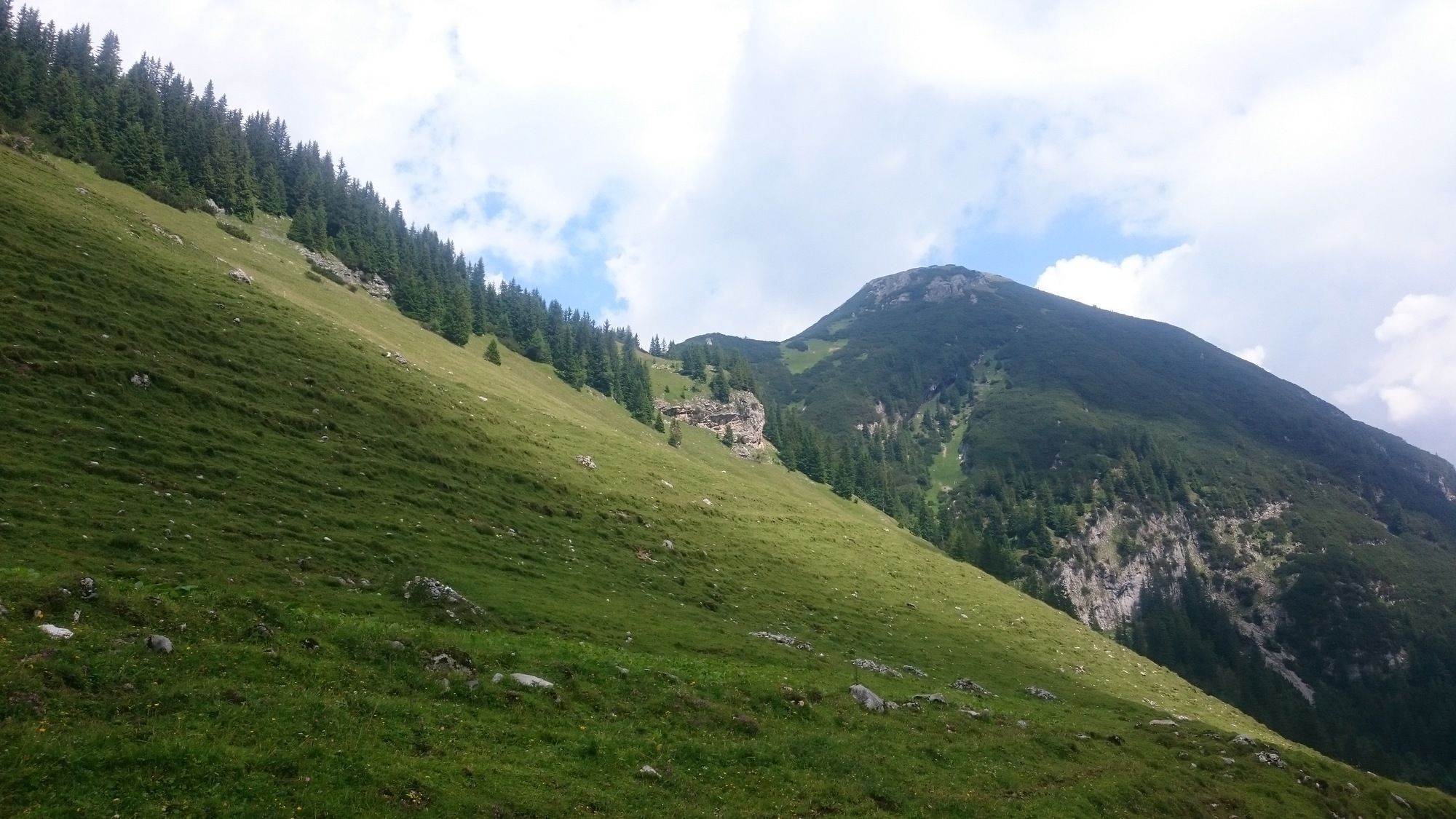
Weißenbachalm5.5 kmBlasermahdlegg6.6 kmOchsenkopf (2,148 m)7.9 kmWeißenbachalm10.5 km
- Best season
-
JanFebMarAprMayJunJulAugSepOctNovDec
- Highest point
- 2,143 m


- Source
- Ralf Siebecker
GPS Downloads


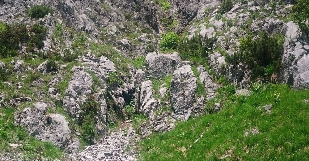
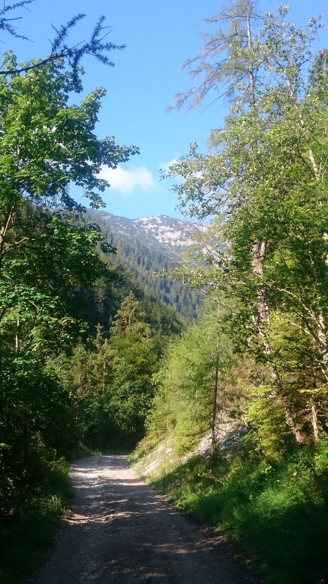
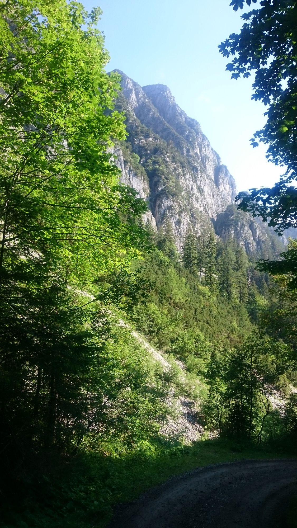
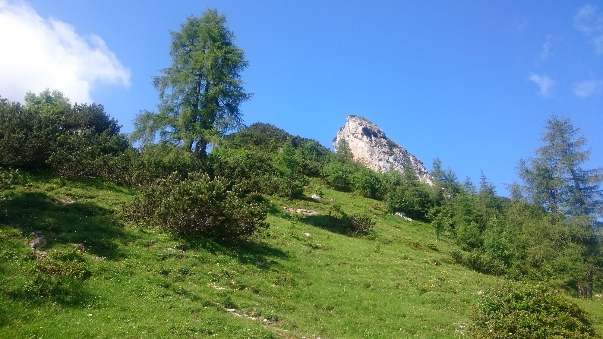
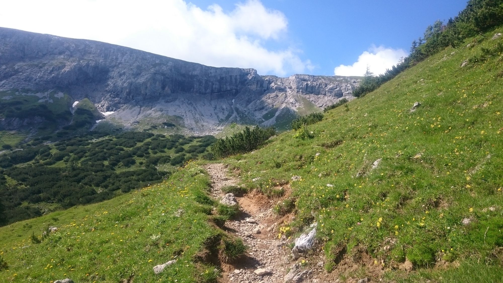
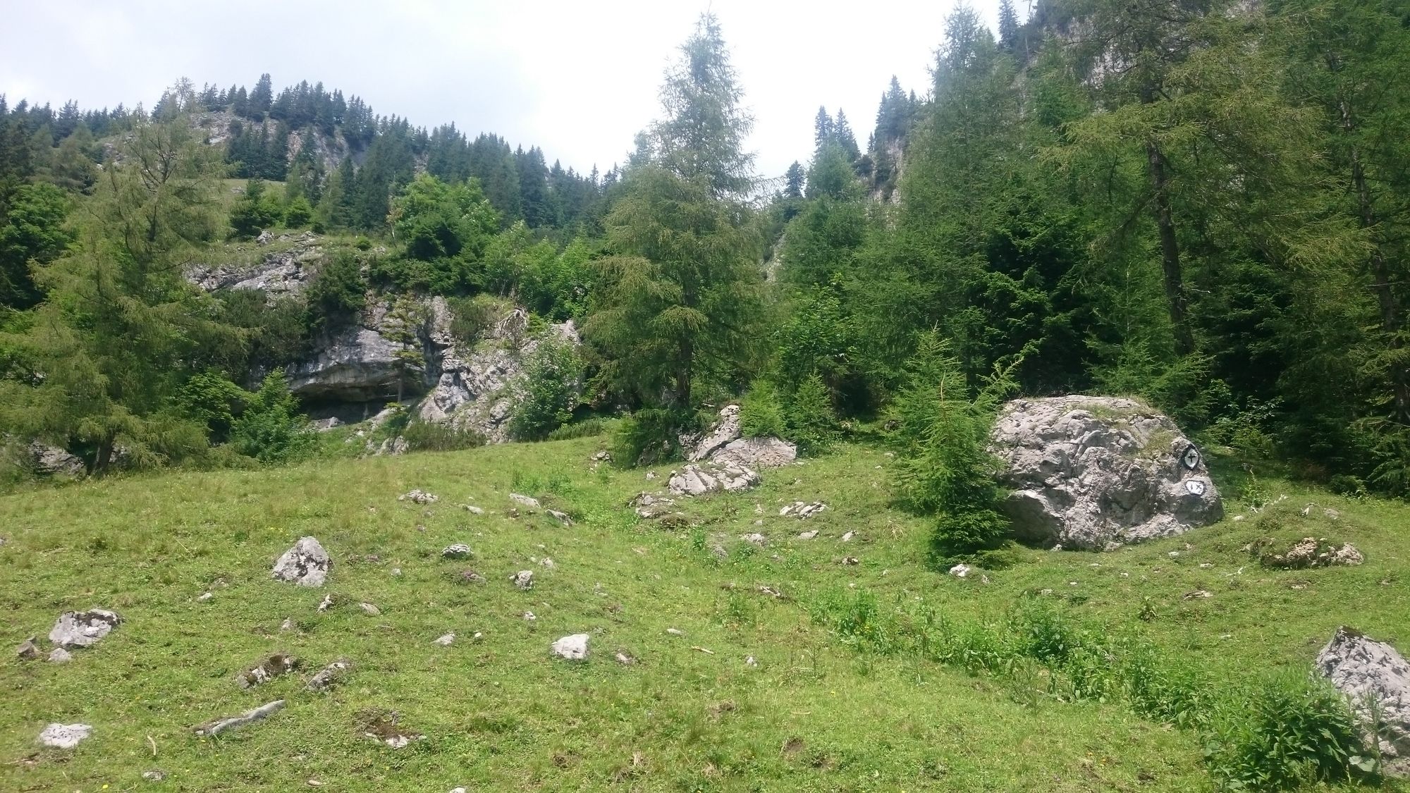
Trail conditions
Asphalt
Gravel
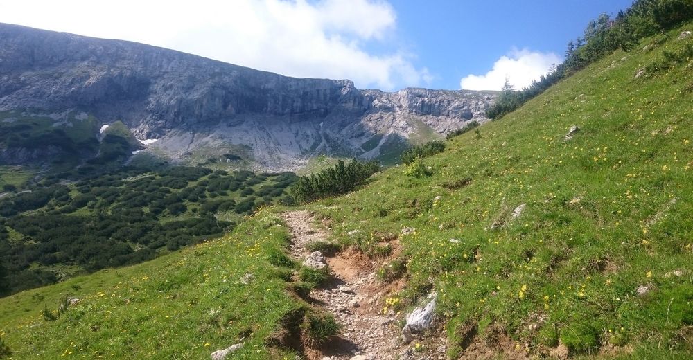
Meadow
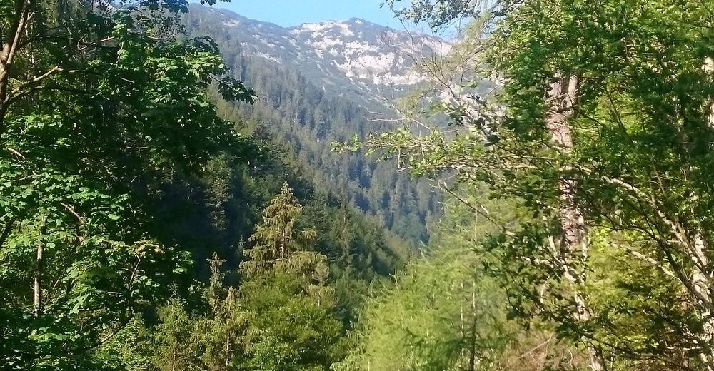
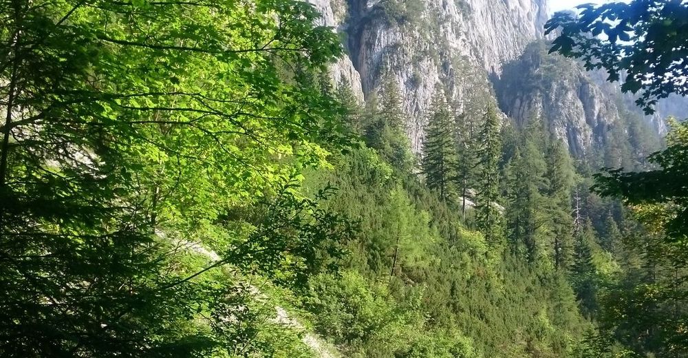
Forest
Rock
Exposed
Other tours in the regions
-
Achensee
1390
-
Pertisau am Achensee
355


