
- Brief description
-
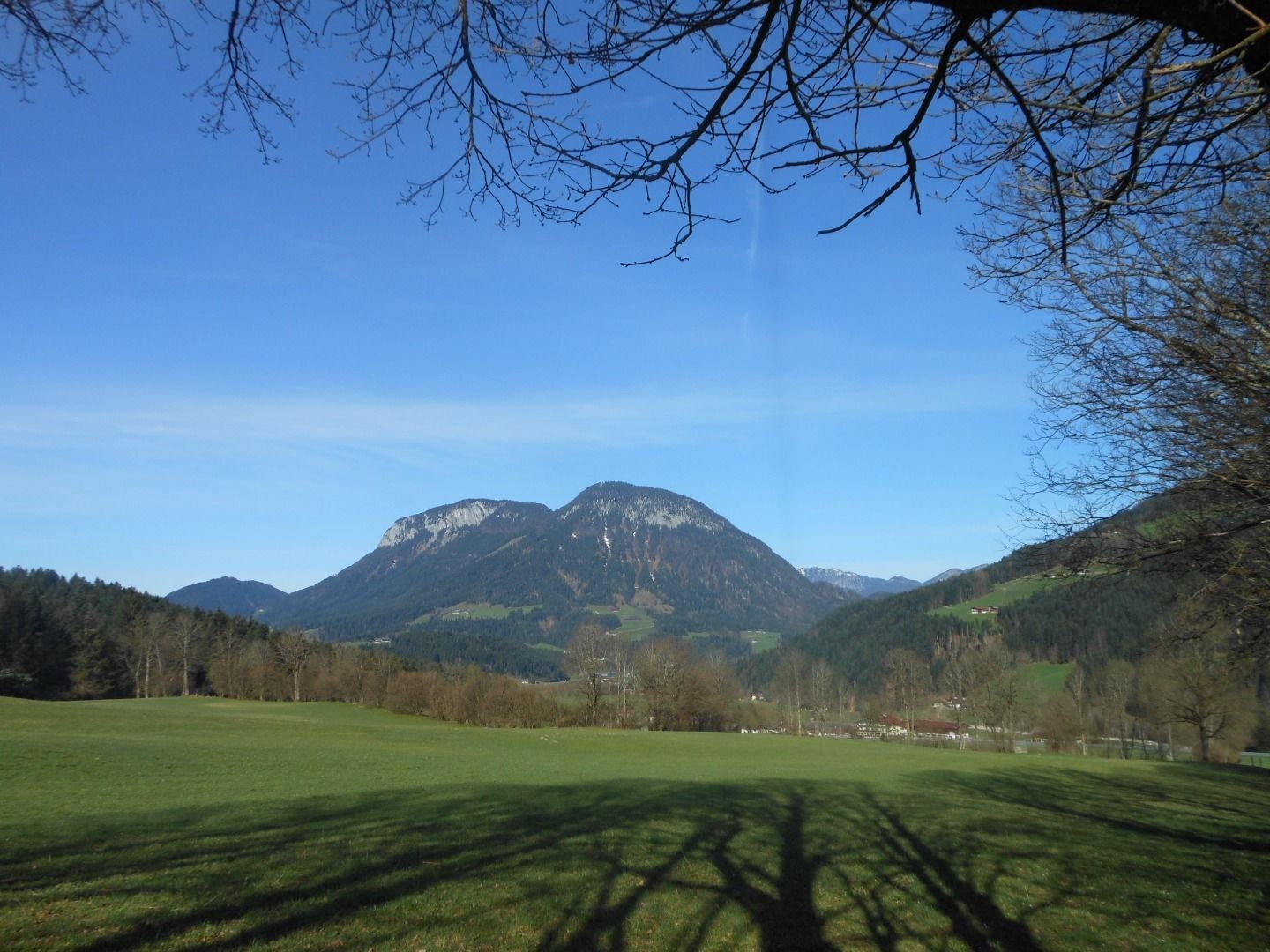
Quietness, strength and with easy breathing steadily closer to the Wilder Kaiser.
You can return on foot or by bus. - Difficulty
-
easy
- Rating
-
- Starting point
-
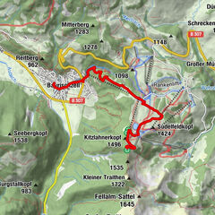
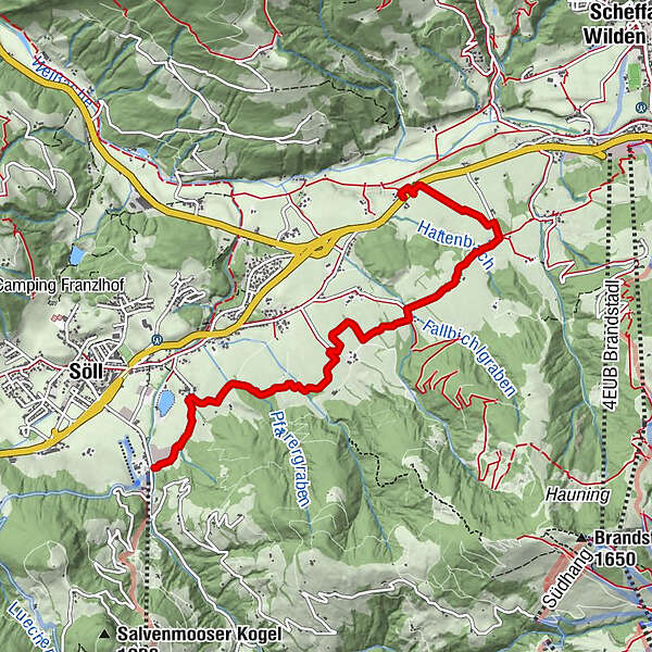
Hiking starting point Bergbahn, Söll (724 m)
- Route
-
Bach0.6 kmBocking5.4 km
- Best season
-
JanFebMarAprMayJunJulAugSepOctNovDec
- Description
-
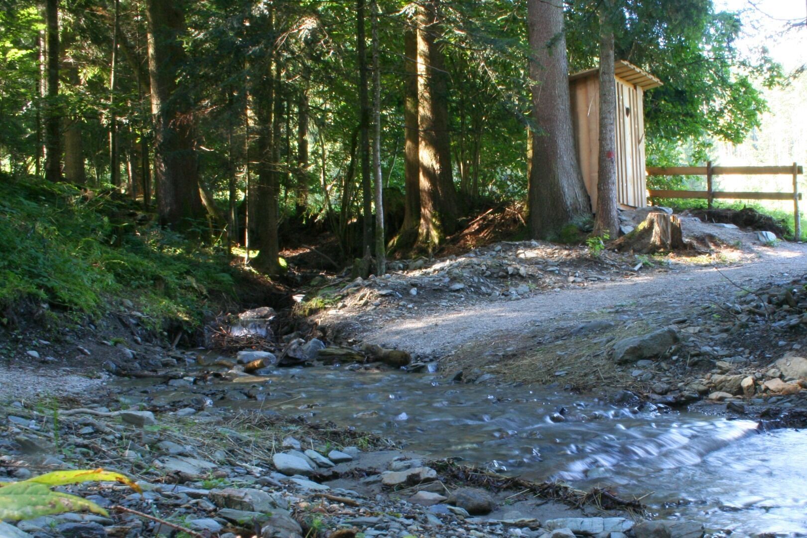
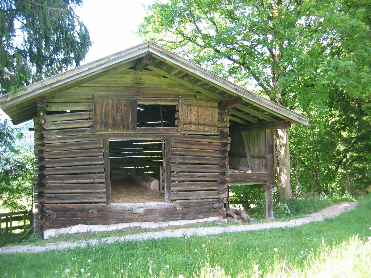
From the starting point at the valley station of the mountain railway you can feel about 5.6 km the originality of the Söller nature. Please follow the signs "Scheffau über Schattseite". Numerous dreamlike viewing platforms invite you to dream and slow down your body and soul. A simple, nature-adapted hiking trail with only a few differences in altitude. At the end of the day at Gasthof Bocking, you can take a break and enjoy Tyrolean specialties. Tip: From the end point you can hike back on foot via Hauninger Dörfl or take the KaiserJet or Postbus (free of charge with the Wilder Kaiser GuestCard) back to the village.
- Highest point
- 779 m
- Endpoint
-
Gasthof Bocking, Söll (665 m)
- Height profile
-

- Equipment
-
Rucksack, sturdy hiking/mountaineering boots with anti-slip treaded soles, weather-appropriate hiking gear (breathable), a change of clothes, sun protection (sunglasses, sun cream, lip protection, headgear), waterproofs (rain jacket/poncho, pocket umbrella, rucksack protector), cold protection (hat, gloves), sufficient food and drink, hiking poles (height adjustable) if required, first aid kit incl. rescue blanket and bivouac sack, mobile phone with fully charged battery, headlamp, plastic bag for waste, hiking map, route description and information materials (GPX track), ID, insurance card, cash
- Directions
-
Heading from Wörgl, Kufstein or St. Johann on the B178 road, take the exit to Söll and then take the exit to Hexenwasser theme park (SkiWelt cable car valley station) at the roundabout. Before reaching the cable car valley station, turn left and drive across the bridge. You will then come to the hiking starting point and the cable car parking facilities.
- Public transportation
-
KaiserJet stop “Söll Gondelbahn Hexenwasser – Hohe Salve”.
More information at: www.wilderkaiser.info - Parking
-
Parking area cable car valley station, Söll (725 m) – free


- Author
-
The tour Schattseit trail route is used by outdooractive.com provided.


General info
-
Wilder Kaiser
1946
-
Söll
609