- Brief description
-
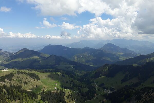
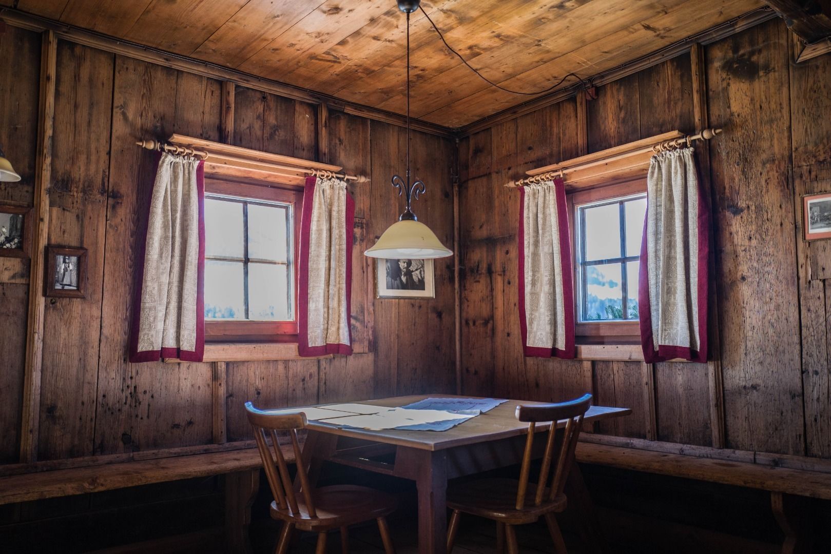
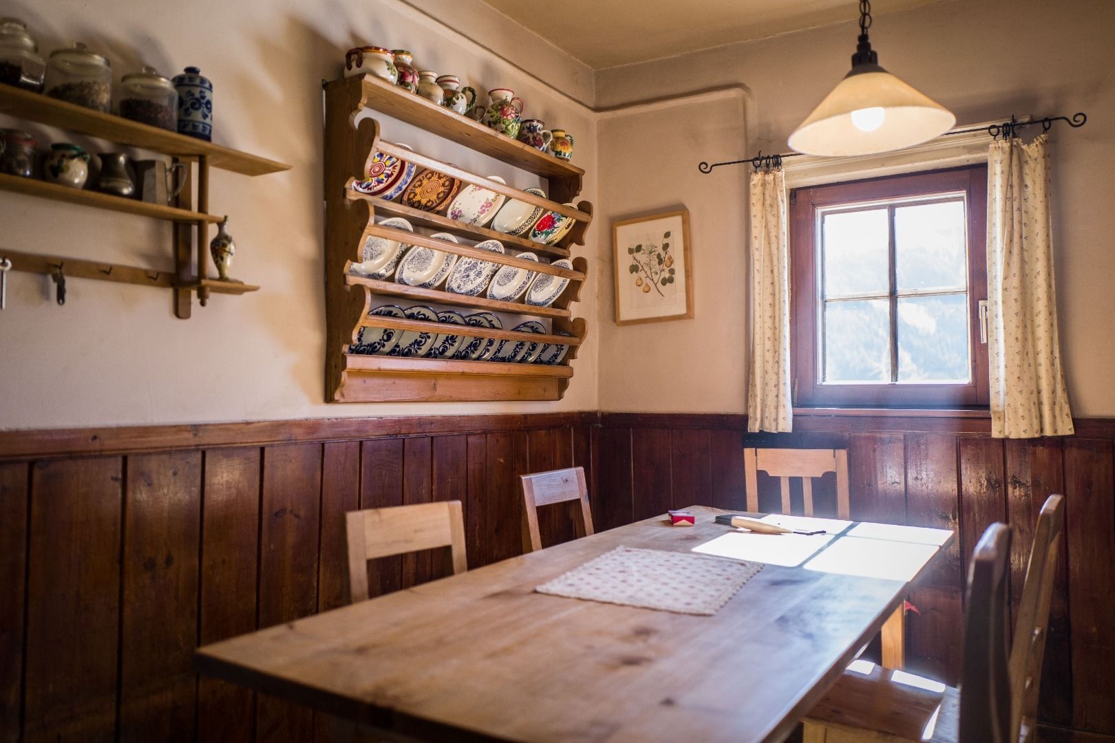
Off the beaten track up to the Köpfing farmhouse.
“Der Bergdoktor” (The Mountain Doctor) is a famous German-Austrian TV series, which is produced in the Wilder Kaiser region. - Difficulty
-
easy
- Rating
-
- Starting point
-
Bergdoktor parking lot, Söll
- Route
-
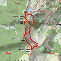
SöllStampfanger0.7 kmStampfangerkapelle0.9 kmStampfangerkapelle7.5 kmStampfanger7.7 kmSöll8.3 kmAlpengasthof Gruberhof11.6 kmBromberg12.0 km
- Best season
-
JanFebMarAprMayJunJulAugSepOctNovDec
- Description
-
Starting from the starting point at the Bergdoktor parking lot, hike past the valley station of the Söll mountain railways to the Stampfanger chapel. Above the chapel there is a steadily ascending path no. 51 past the Salfenau and dam bridge to the Höckenhof, where you will then get to the Bromberg street. Follow this
downwards until you pass the Talern farm on the right to the Köpfinghof (mountain doctor's filming location). To get back to the starting point, follow the road down into the valley.
Tip:
Alternatively, at the Höckenhof you can also follow the Bromberg Straße right up towards the Alpengasthof Gruberhof and treat yourself a stop there. Then go the way back to the Höckenhof to reconnect with the original tour. The additional detour extends the walking time by approx. 50 minutes. - Highest point
- 1,174 m
- Endpoint
-
Bergdoktor parking lot, Söll
- Height profile
-

- Equipment
-
Rucksack, sturdy hiking/mountaineering boots with anti-slip treaded soles, weather-appropriate hiking gear (breathable), a change of clothes, sun protection (sunglasses, sun cream, lip protection, headgear), waterproofs (rain jacket/poncho, pocket umbrella, rucksack protector), cold protection (hat, gloves), sufficient food and drink, hiking poles (height adjustable) if required, first aid kit incl. rescue blanket and bivouac sack, mobile phone with fully charged battery, headlamp, plastic bag for waste, hiking map, route description and information materials (GPX track), ID, insurance card, cash
- Directions
-
Heading from Wörgl, Kufstein or St. Johann on the B178 road, take the exit to Söll and then take the exit to Hexenwasser theme park (SkiWelt cable car valley station) at the roundabout. About 100m from the roundabout there is the "Bergdoktorparkplatz" on the left side.
- Public transportation
-
KaiserJet stop “Söll Ahornsee/Bergdoktorparkplatz”.
More information at: www.wilderkaiser.info - Parking
-
Bergdoktorparkplatz – free


- Author
-
The tour Bergdoktor circular route Söll is used by outdooractive.com provided.

General info
-
Region Hohe Salve
1784
-
Söll
605