© EVAdinarica Project - EVA dinarica

© EVAdinarica Project - EVA dinarica

© EVAdinarica Project - EVA dinarica

© EVAdinarica Project - EVA dinarica

- Brief description
-
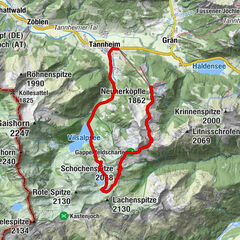
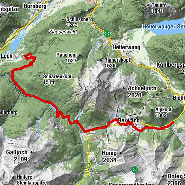
Hiking from Amsterdam to the Balkans: Via Alpina Red Trail R55 - R5 (Feldkirch to Predjama), this is my 11th stage in Austria.
- Difficulty
-
easy
- Rating
-
- Route
-
Rotlechwasserfall10.6 kmRinnen11.0 kmStadl Bräu11.1 kmSankt-Sebastian Kapelle11.1 kmKaminstube Thanellerkar12.7 kmKirche Berwang13.6 kmBerwang (1,342 m)14.3 kmDer Bär (Beim Schnapsbrenner)14.4 kmsportstüberl14.8 kmTal15.8 km
- Best season
-
JanFebMarAprMayJunJulAugSepOctNovDec
- Directions
-
For turn by turn directions check out the Via Alpina website and go to the stage you want to follow. They give excellent directions plus further information.
http://www.via-alpina.org/en/page/237/the-red-trail
- Highest point
- 1,348 m
- Height profile
-

- Equipment
-
GPS
- Additional information
-

-
AuthorThe tour Via Alpina: Riedener See - Bichlbachl (day 88) is used by outdooractive.com provided.
GPS Downloads


General info
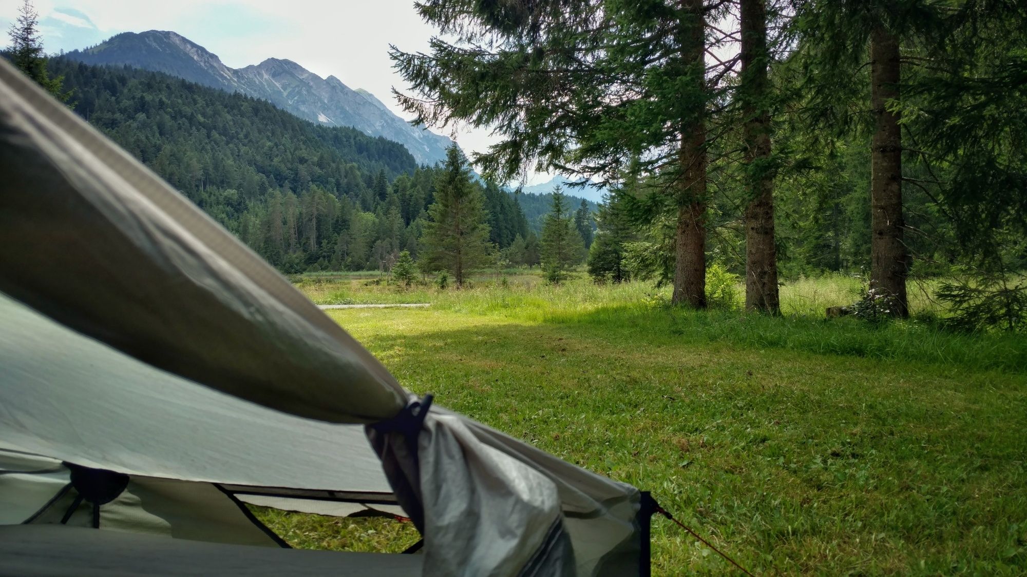
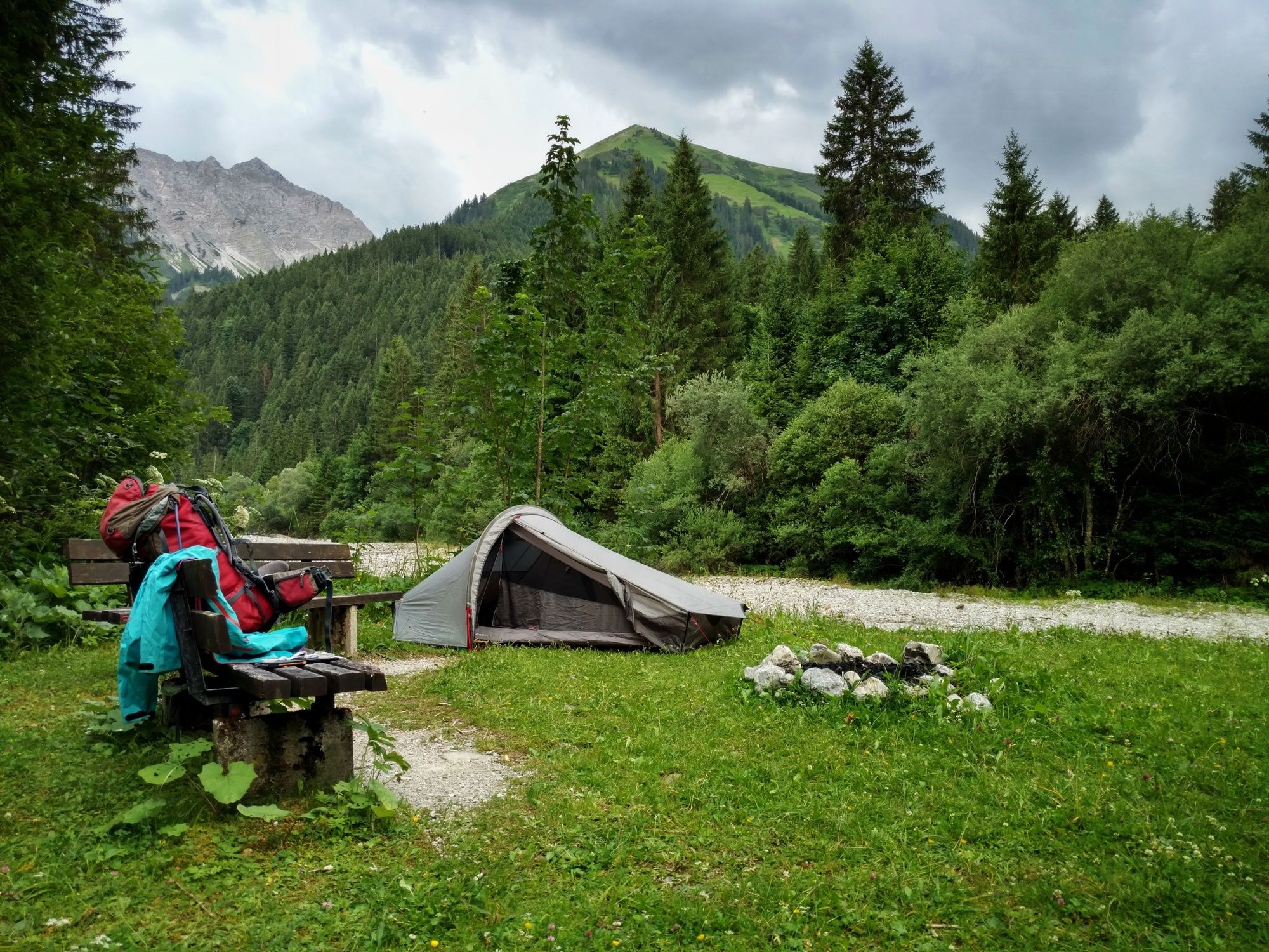
Refreshment stop
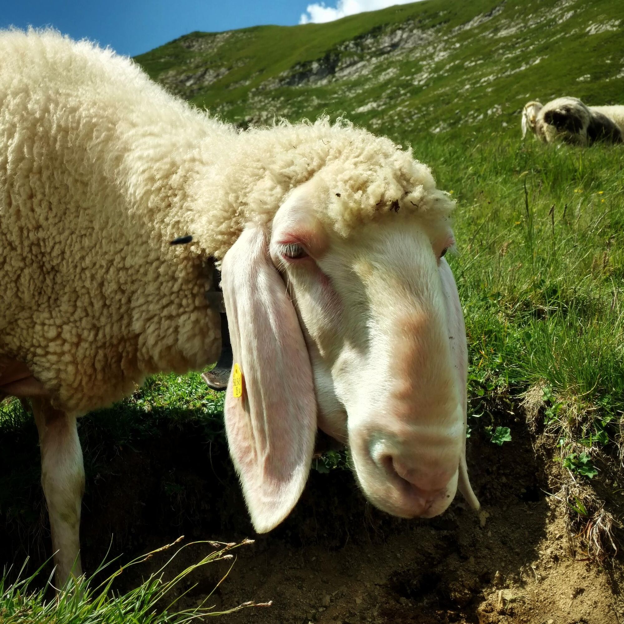
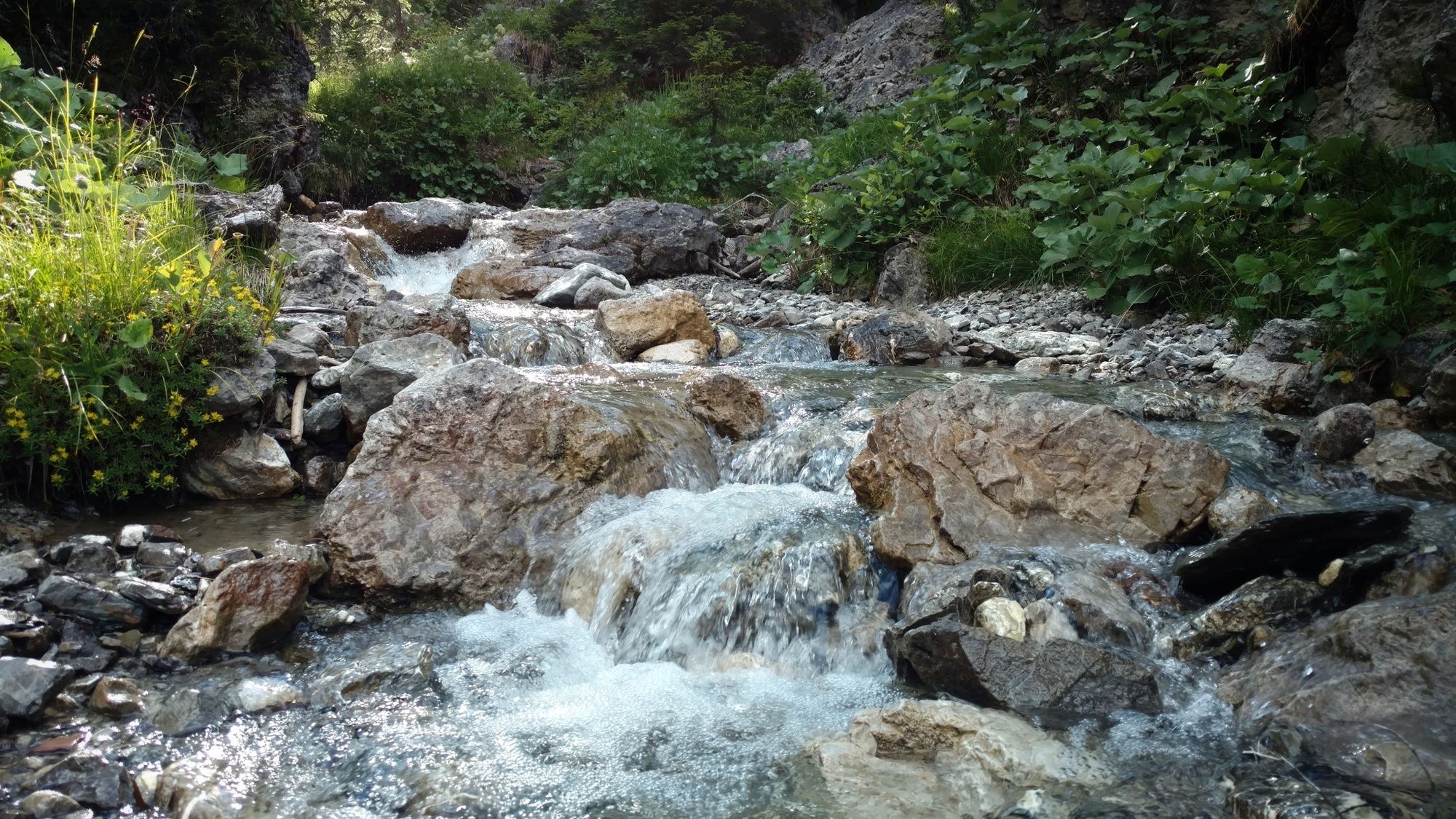
A lot of view
Other tours in the regions
-
Naturparkregion Reutte
1432
-
Berwang
307