
- Brief description
-
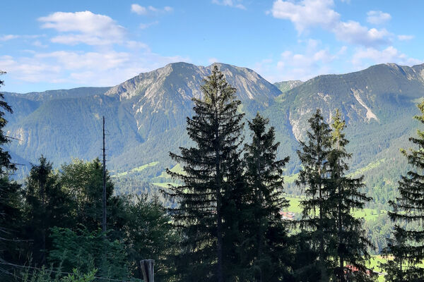
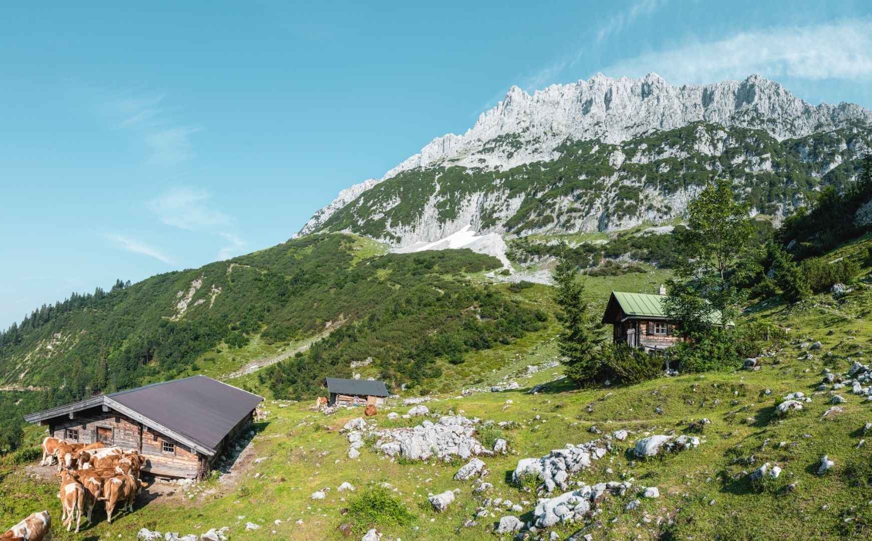
A circular route full of experiences that leads from the Seebachgraben gorge to the Wilder-Kaiser-Steig trail - discover one of the most beautiful parts of Scheffau!
- Difficulty
-
medium
- Rating
-
- Starting point
-
Hiking starting point Tourist Info, Scheffau (738 m)
- Route
-
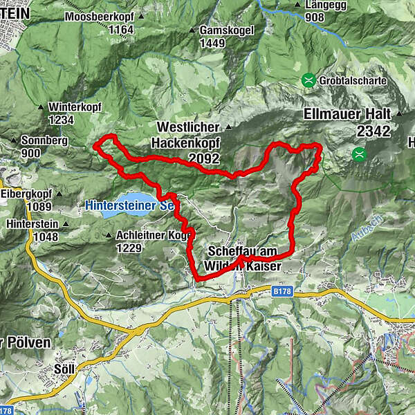
Scheffau am Wilden Kaiser0.1 kmPfarrkirche Scheffau0.2 kmSonnwies0.9 kmWurzach (661 m)1.4 kmSeebach (720 m)1.7 kmHinterstein4.2 kmSeestüberl4.6 kmBichl4.7 kmStöfflhütte7.4 kmWalleralm7.6 kmSteiner Hochalm11.3 kmKaiser-Hochalm13.0 kmGasthof Jägerwirt17.2 kmWegscheid17.2 kmSteinacker17.6 kmMittersbach17.9 kmOberfeld19.0 kmPfarrkirche Scheffau19.6 kmScheffau am Wilden Kaiser19.6 km
- Best season
-
JanFebMarAprMayJunJulAugSepOctNovDec
- Description
-
Starting from the church, head left along the asphalt road (no. 56) past the Niederscheffau and Lindenhof farms to Hintersteiner See via Seebachgraben (trail no. 43). This trail leads beside a creek through the Seebachgraben gorge. At the end, a path on the left climbs through the forest and continues through a meadow. Once you reach the Grüblernhof farm, follow the road to the left to Hintersteiner See. At the Seestüberl restaurant, turn right and follow the path no. 45a + no. 45 until you reach the Walleralm. After the Walleralm, keep right and follow the WKS (Wilder-Kaiser-Steig trail no. 823) towards the Steiner Hochalm and continue along the WKS until you reach the Kaiser-Hochalm. Stay on the WKS until the Wegscheid-Hochalm, where you begin your descent to the Jägerwirt inn (trail no. 826) and then continue back to the village.
- Directions
-
Starting from the church, head left along the asphalt road (no. 56) past the Niederscheffau and Lindenhof farms until you reach Café Rosemarie. Then make a right turn towards Hintersteiner See lake (trail no. 43). This trail leads through the wild and romantic Seebachgraben ditch. At the end, a path on the left climbs through the forest and continues through a meadow. Once you reach the Grüblernhof farm, follow the road to the left in the direction of Seestüberl/Hintersteiner See. At the Seestüberl restaurant, turn right onto an uphill path (no. 45a) that merges back into a forest road (no. 45). Follow this until you reach the Walleralm, where you should keep right and follow the WKS (Wilder-Kaiser-Steig trail no. 823) towards the Steiner-Hochalm. Continue along the WKS until you reach the Kaiser-Hochalm Alpine pasture. Stay on the WKS until the Wegscheid-Hochalm fork, where you begin your descent to the Jägerwirt inn (trail no. 826) and then continue back to the village.
- Highest point
- 1,450 m
- Endpoint
-
Hiking starting point Tourist Info, Scheffau (738 m)
- Height profile
-

- Equipment
-
Rucksack, sturdy hiking shoes, weather-appropriate hiking gear, sun protection, waterproofs, snack and drink, hiking poles (height adjustable) if required, mobile phone, plastic bag for waste, hiking map, route description and information materials (GPX track), ID, cash
- Directions
-
Heading from Wörgl, Kufstein or St. Johann on the B178 road, take the exit to Scheffau. Shortly before you come to the church, you will see the Tourist Info and the hiking starting point on the left-hand side (short-stay parking zone).
- Public transportation
- Parking
-
Public car park, Scheffau (740 m), north of the Community Hall - free


- Author
-
The tour Hochalm hike is used by outdooractive.com provided.


General info
-
Wilder Kaiser
1941
-
Scheffau am Wilden Kaiser
611