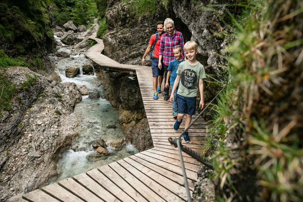

- Brief description
-
Two very demanding, fantastic lookout peaks on the Wilder Kaiser, which are not to be underestimated.
- Difficulty
-
difficult
- Rating
-
- Starting point
-
Hiking starting point Wegscheid, Scheffau (883 m)
- Route
-
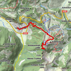
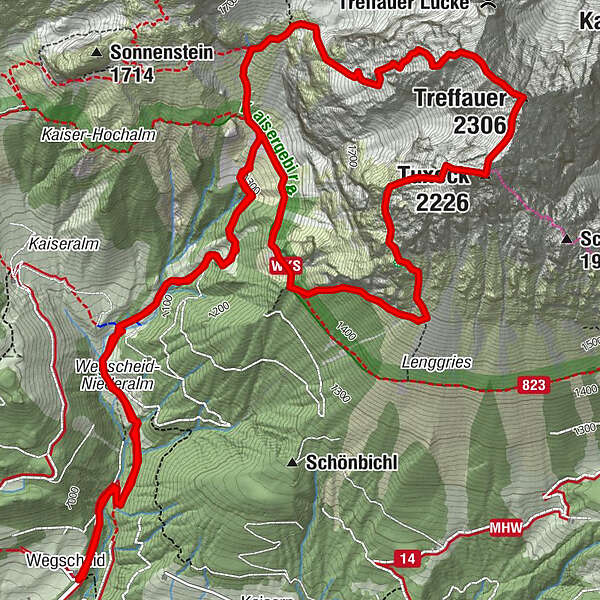
WegscheidGasthof Jägerwirt0.0 kmTreffauer (2,306 m)5.4 kmTuxeck (2,226 m)5.8 kmGasthof Jägerwirt11.3 kmWegscheid11.4 km
- Best season
-
JanFebMarAprMayJunJulAugSepOctNovDec
- Description
-
Ascent:
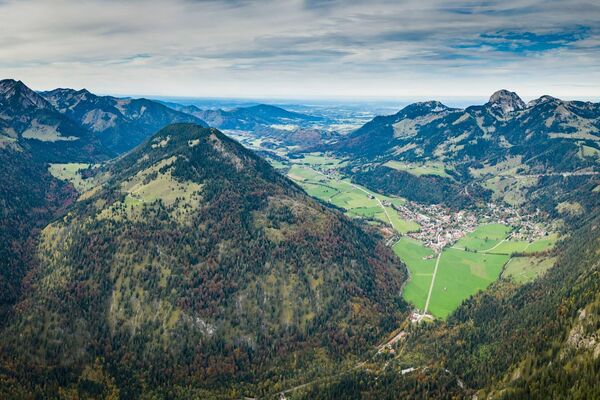
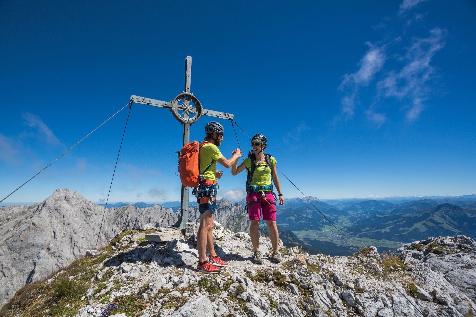
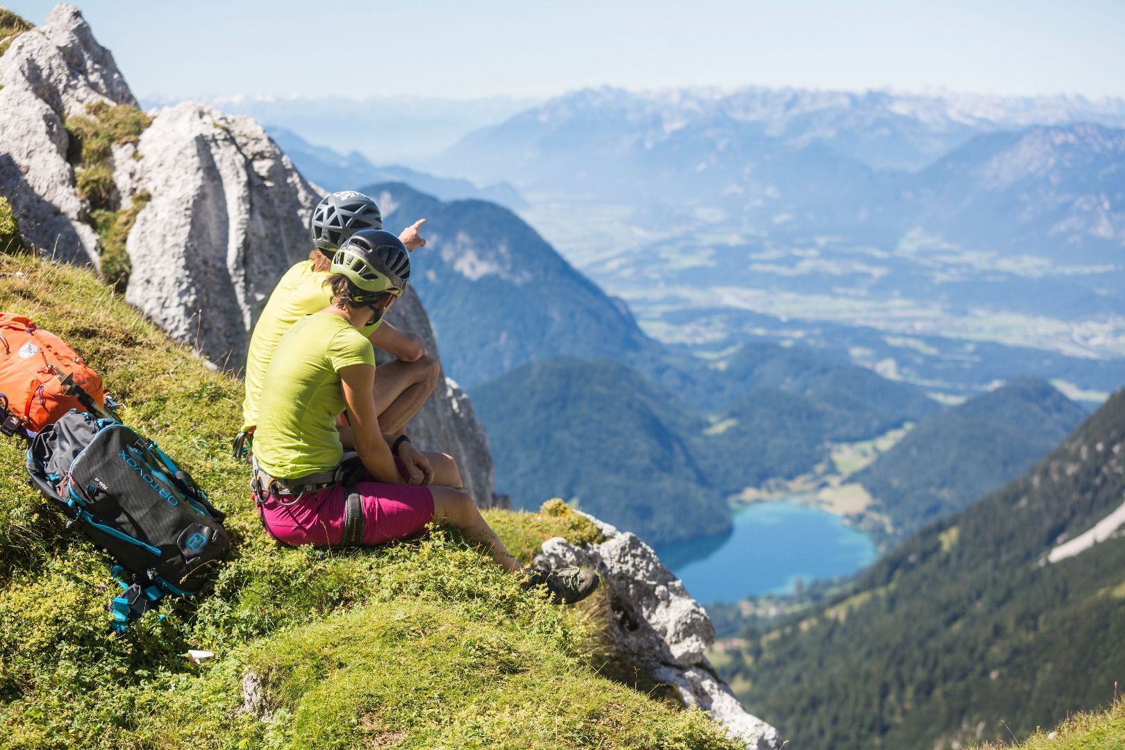
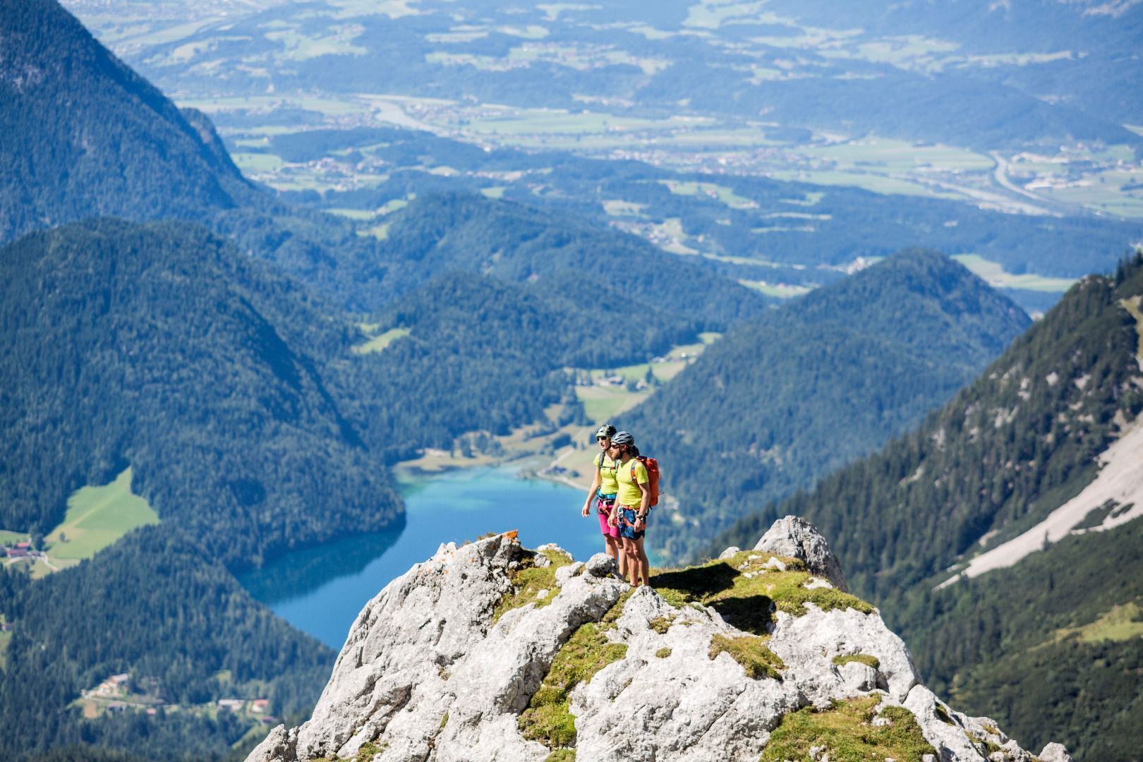
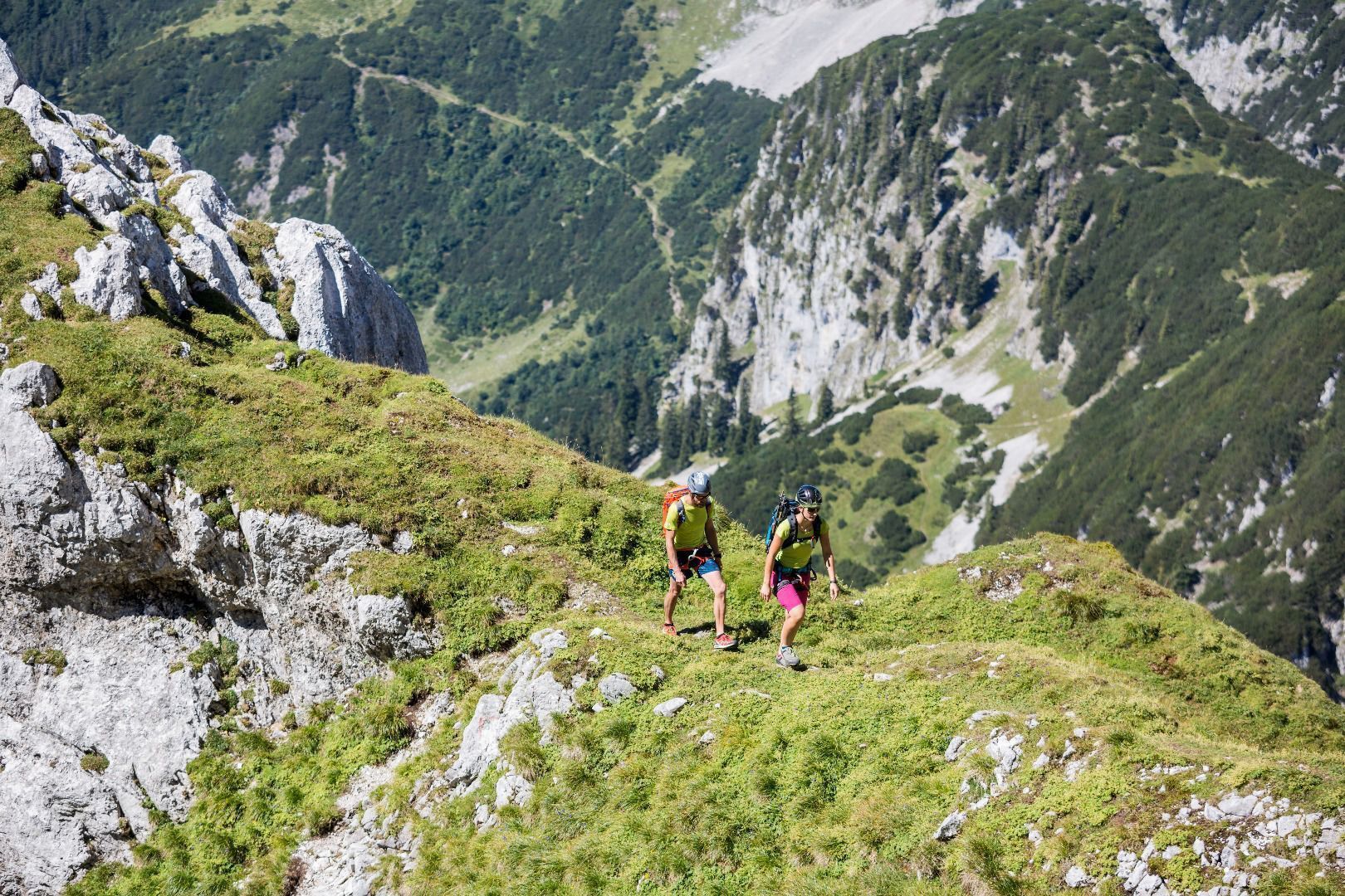
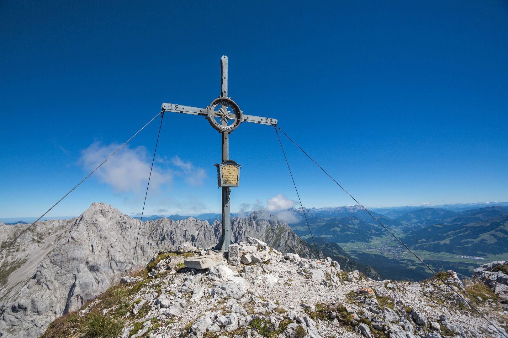
From the Wegscheid hiking starting point, follow trail 826 always in the direction of Treffauer and Tuxeck. Passing the Wegscheid alpine pastures and the Wilden-Kaiser-Steig trail, the trail leads through cool forest and across alpine meadows to the waterfall. Continue on trail 826 becoming steeper and steeper until you reach the Schneekar cirque. At the beginning of the cirque, the trail branches off to the right onto the Treffauer. Climb over rock steps and two short rope belays to the summit of the Treffauer (2,304 m). During the ascent there are wonderful views of the Hintersteiner See Lake.
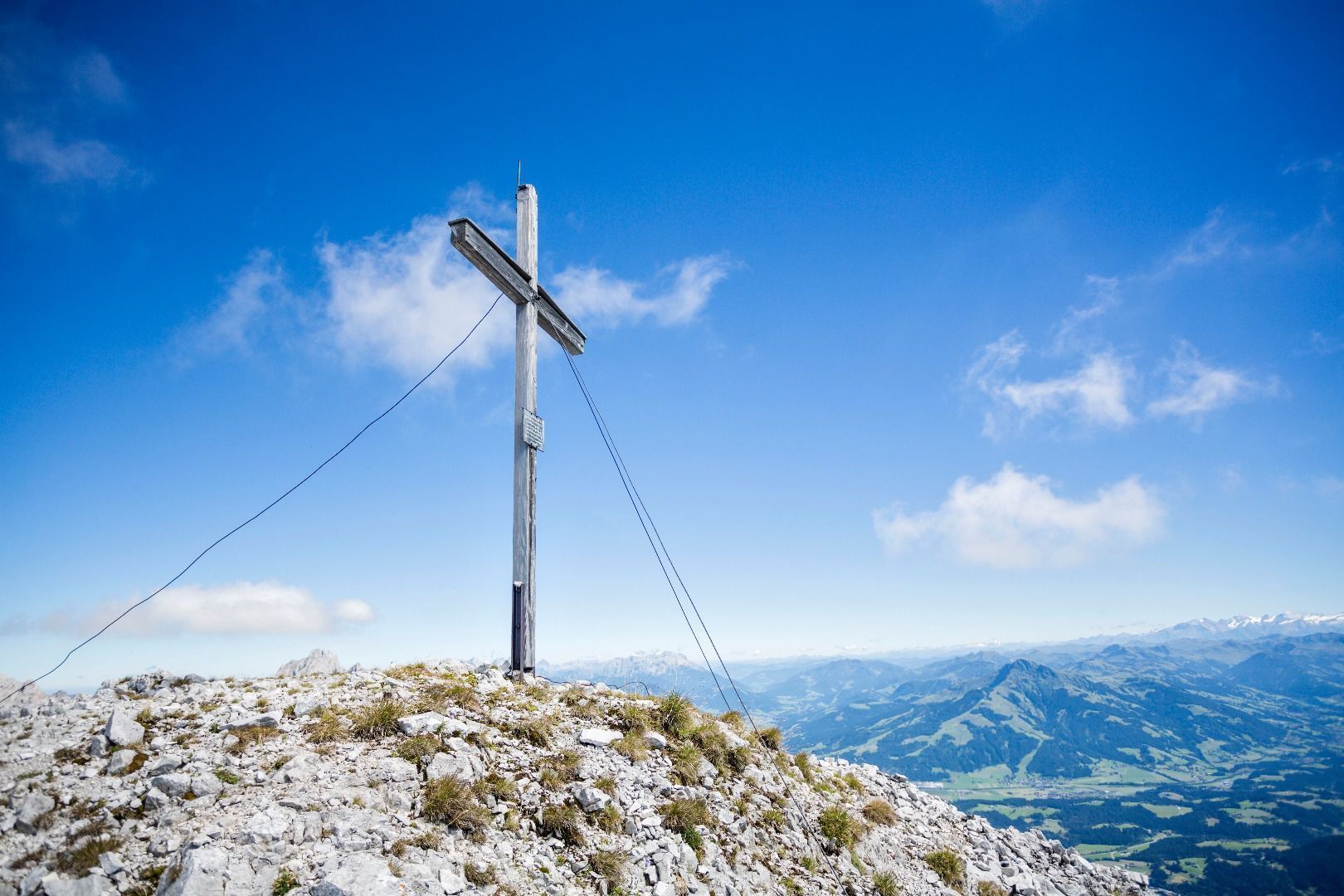
Descent as ascent or you follow the red markings southwest down to the saddle at the foot of the Tuxeck mountain. Over a vertical wall you climb to the summit (partly step bars - but not rope-secured!).
Descent:
Back at the saddle, descend via the "southwest ridge". Through a gorge and varied rock and scree terrain with easy climbing sections, you will reach a rocky passage under a clamping stone. Here, descend on a fixed rope and step stirrups and immediately afterwards follow the path to the LEFT! (east!).
Continue up and down and over a steep mountain pine alley down into the large gravel cirque. After a few switchbacks, keep to the right and follow the red markings down through the mountain pines and sparse forest until you reach the Wilden-Kaiser-Steig trail again. Follow this downhill always in the direction Jägerwirt.
Prerequisite: No fear of heights and surefootedness as well as alpine experience & very good physical condition are absolutely necessary! HELM (danger of falling rocks)
- Directions
-
Ascent:
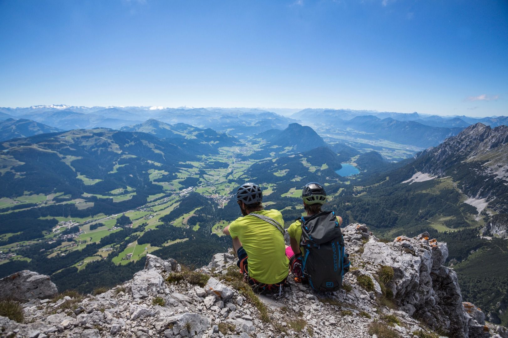
Walk along trail 826 past the Wegscheid-Niederalm. Shortly afterwards, cross the Wegscheidbach stream and keep to the right as you head towards the Treffauer and Tuxeck mountains. Go past the Wegscheid-Niederalm, which features a refreshing source, and head across cool forests and Alpine meadows until you reach the intersection with the Wilder-Kaiser-Steig trail. Keep walking north until you come to the welcome refreshment of the waterfall. Continue along trail 826, which will become increasingly steep until it reaches the Schneekar cirque. At this point, you should exit the cirque and begin the ascent through the rocky landscape on the Treffauer mountain. There are a series of wonderful views over Hintersteiner See lake, the Sonneck and the ridge – these range from the Kopfkraxen to the Hackenköpfe and the Scheffauer. You will then reach the summit of the Treffauer at an elevation of 2,306 m.
After taking a well-earned break, proceed over the rocky terrain, which features ledges in certain sections, as you head west beneath the ridge on your way to the Tuxeck. At the foot of the Tuxeck mountain, you should start the ascent by heading through a steep chimney (which is partially secured with stirrups, but not with ropes!). Savour the feeling of having conquered this second summit!
Descent:
Variant 1): route of descent same as that of ascent
Variant 2): having returned to the foot of the Tuxeck rock face, make your descent heading southwest towards Scheffau. Follow the red markings across the rugged terrain until you come to a rocky opening. Continue in a southwesterly direction, crossing fields of scree and heading past mountain pines. You will then come back to the Wilder-Kaiser-Steig trail in the forest (alternatively, you can cross the trail to the east at the first row of mountain pines and make your descent through the Lenggries cirque).
You should then follow WKS 823 until the next turnoff. On trail 826, you will descend through the valley heading south until you reach your original starting point at the Gasthof Jägerwirt inn. - Highest point
- 2,282 m
- Endpoint
-
Hiking starting point Wegscheid, Scheffau (883 m)
- Height profile
-

- Equipment
-
Rucksack, sturdy hiking/mountaineering boots with anti-slip treaded soles, weather-appropriate hiking gear (breathable), a change of clothes, sun protection (sunglasses, sun cream, lip protection, headgear), waterproofs (rain jacket/poncho, pocket umbrella, rucksack protector), cold protection (hat, gloves), sufficient food and drink, hiking poles (height adjustable) if required, first aid kit incl. rescue blanket and bivouac sack, mobile phone with fully charged battery, headlamp, plastic bag for waste, hiking map, route description and information materials (GPX track), ID, insurance card, cash; helmet
- Directions
-
Heading from Wörgl, Kufstein or St. Johann on the B178 road, take the exit to Scheffau. When you reach the Gasthof Maikircher inn located in the village of Scheffau, turn right in the direction of the Restaurant Jägerwirt. Follow the road until you reach the car park Wegscheid, below the Restaurant Jägerwirt.
- Public transportation
- Parking
-
Wegscheid car park, Scheffau (883 m) – pay & display

- Author
-
The tour Treffauer & Tuxeck summit tour is used by outdooractive.com provided.


General info
-
Wilder Kaiser
1945
-
Scheffau am Wilden Kaiser
614