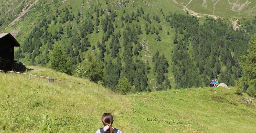
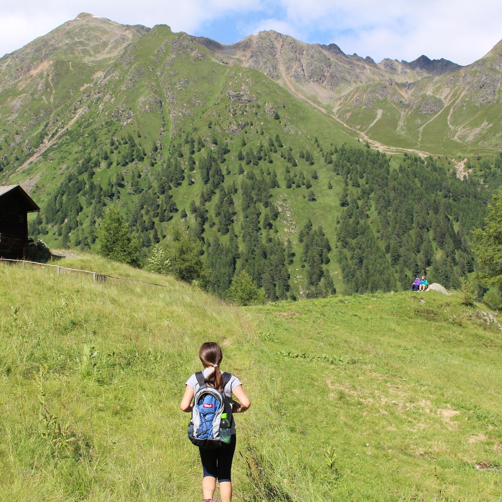
© Österreichs Wanderdörfer - Bernhard Pichler
Tour data
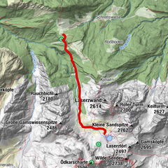
4.31km
1,549
- 1,820m
267hm
268hm
01:30h


Österreichs Wanderdörfer
- Difficulty
-
medium
- Rating
-
- Route
-
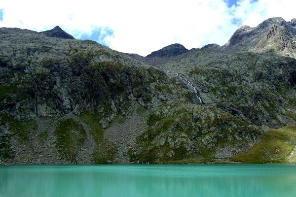
Celar Wasserfall1.5 kmCelar Wasserfall1.7 kmGölbnerblick Hütte2.1 km
- Best season
-
JanFebMarAprMayJunJulAugSepOctNovDec
- Highest point
- 1,820 m
- Endpoint
-
Gölbnerblick Hütte
- Height profile
-

-

-
AuthorÖsterreichs WanderdörferThe tour Gölbnerblick Hütte über den neuen Wasserfallpfad Celar is used by outdooractive.com provided.
GPS Downloads


General info
Refreshment stop
A lot of view
Other tours in the regions