
- Brief description
-
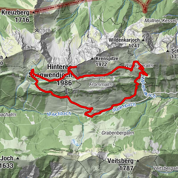
A panoramic round tour from Tyrol's highest alpine cheese dairy to the Hintere Sonnwendjoch.
- Difficulty
-
difficult
- Rating
-
- Starting point
-
Ackernalm
- Route
-
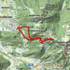
Ackernalm0.0 kmSchnittlauchrinne5.2 kmBurgstein (1,821 m)5.6 kmAckernalm10.9 km
- Best season
-
JanFebMarAprMayJunJulAugSepOctNovDec
- Description
-
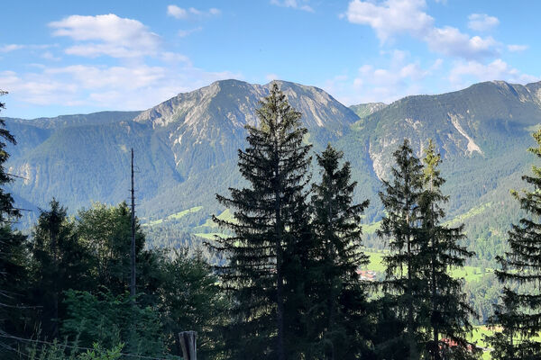
This panoramic round tour leads from Tyrol's highest alpine cheese dairy via the Wildenkaralm to the summit of the Hinteren Sonnwendjoch at almost 2000m. With luck you can see as far as the Hohe Tauern. The way back leads over the Bärenbadalm back to the Almkäserei Ackernalm.
From the alpine cheese dairy or the mountain inn Ackernalm we start eastwards following the road we came across. After about 1 km the path branches off to the left. After a moderate ascent along a forest path you reach the Wildenkaralm. From there on you follow the hiking trail steadily uphill. At the next fork in the trail, take the path on the right up to Hinterer Sonnwendjoch. Once you have reached the summit, you can enjoy the wonderful panoramic view, with a bit of luck as far as the Hohe Tauern. Continue along the same path for a while, but keep right at the first fork. Follow this path in the direction of the Bärenbadalm and from there take the path down to the Ackernalm. There you can enjoy a good snack with the best cheese from the show dairy. - Highest point
- 1,975 m
- Endpoint
-
Ackernalm
- Height profile
-

- Equipment
-
Outdoor clothing appropriate to the weather (good footwear, rain protection, breathable clothing...)
Snacks (e.g. fruit, muesli bars, wholemeal breads) and drinks (allow for sufficient liquid)
First aid equipment
Mobile phone with full battery
Hiking map and guide literature
Sun protection (sunscreen and glasses, cap)
Bivouac bag - Directions
-
Via the toll road to Ackernalm.
- Public transportation
-
With the KufsteinerlandCard within the region bus free of charge.
- Parking
-
Ackernalm
- Author
-
The tour Up to Hinteres Sonnwendjoch is used by outdooractive.com provided.
GPS Downloads


Other tours in the regions
-
Wildschönau
1793
-
Wendelstein
503