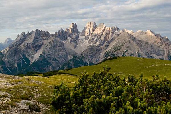
© Österreichs Wanderdörfer - Bernhard Pichler
Tour data
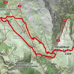
9.77km
1,943
- 2,377m
524hm
526hm
03:16h

Österreichs Wanderdörfer
- Difficulty
-
easy
- Rating
-
- Route
-
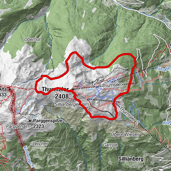
GadeinThurntaler (2,408 m)2.4 kmAstatt Sattel (2,288 m)3.7 kmGadein9.7 km
- Best season
-
JanFebMarAprMayJunJulAugSepOctNovDec
- Highest point
- 2,377 m
- Endpoint
-
Bergstation Seilbahn Thurntaler
- Height profile
-

-

-
AuthorÖsterreichs WanderdörferThe tour Rund um den Thurntaler 2.400 m is used by outdooractive.com provided.
GPS Downloads


General info
Refreshment stop
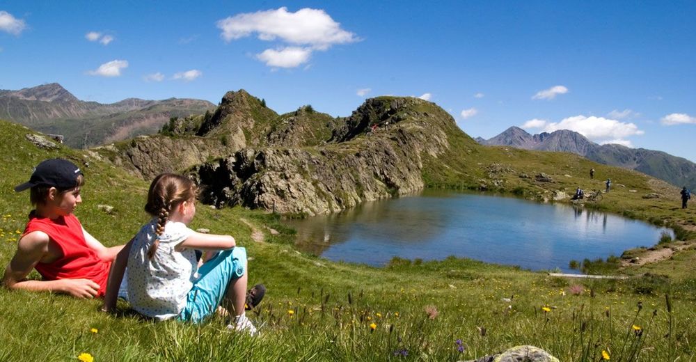
A lot of view
Other tours in the regions