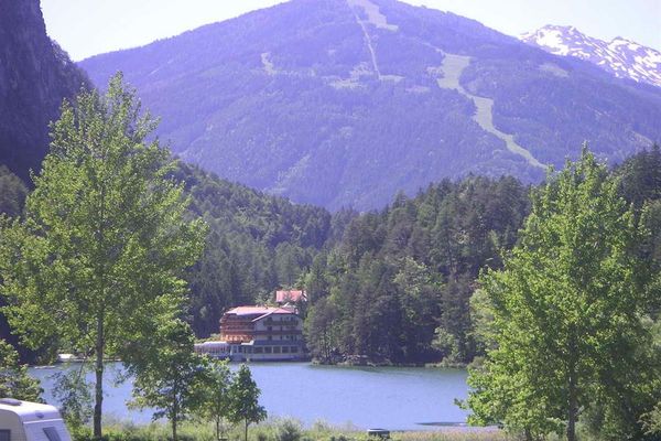
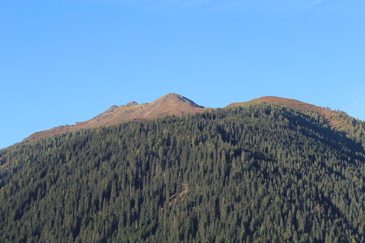
© Österreichs Wanderdörfer - Bernhard Pichler
Tour data
4.39km
1,380
- 2,322m
939hm
11hm
02:16h


Österreichs Wanderdörfer
- Brief description
-
Schöne, mittelschwere Bergwanderung die für nahezu jeden zu bewältigen ist.
- Difficulty
-
medium
- Rating
-
- Route
-
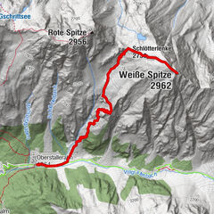
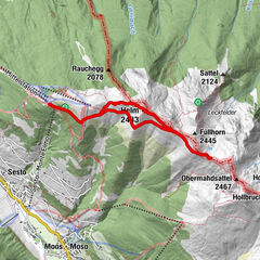
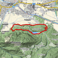
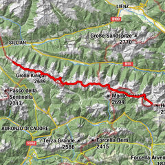
Zwiesel (2,089 m)3.3 kmHoher Bösring (2,324 m)4.3 km
- Best season
-
JanFebMarAprMayJunJulAugSepOctNovDec
- Highest point
- 2,322 m
- Endpoint
-
Hoher Bösring
- Height profile
-

-

-
AuthorÖsterreichs WanderdörferThe tour Hoher Bösring 2.324 m is used by outdooractive.com provided.
GPS Downloads


General info
Fauna
A lot of view
Other tours in the regions