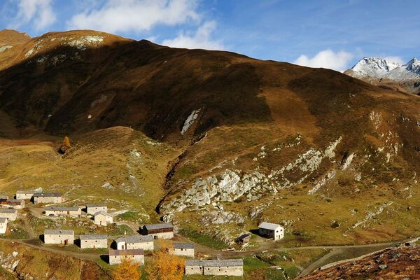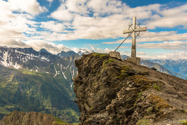
© Österreichs Wanderdörfer - Bernhard Pichler
Tour data
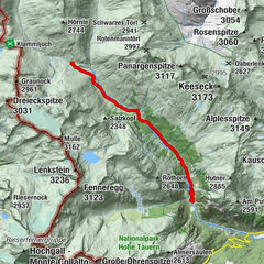
11.49km
1,862
- 2,929m
1,039hm
1,040hm
04:53h


Österreichs Wanderdörfer
- Difficulty
-
medium
- Rating
-
- Route
-
Hochgrabe (2,951 m)5.7 km
- Best season
-
JanFebMarAprMayJunJulAugSepOctNovDec
- Highest point
- 2,929 m
- Endpoint
-
Hochgrabe
- Height profile
-

-

-
AuthorÖsterreichs WanderdörferThe tour Hochgrabe 2.951m is used by outdooractive.com provided.
GPS Downloads


General info
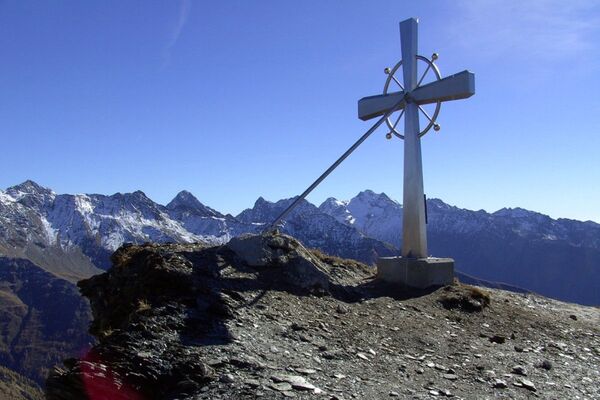
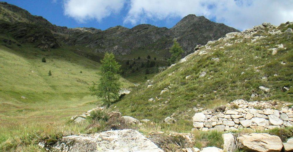
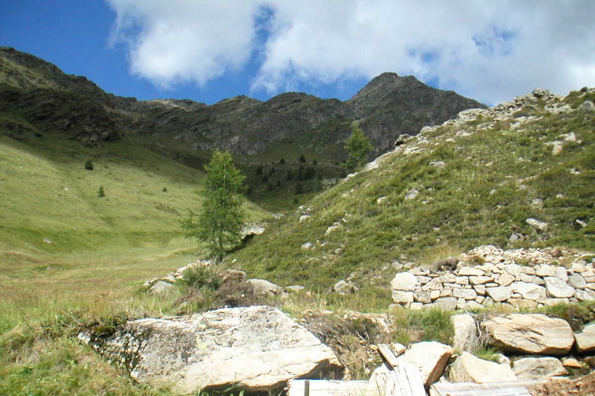
A lot of view
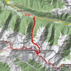
Other tours in the regions