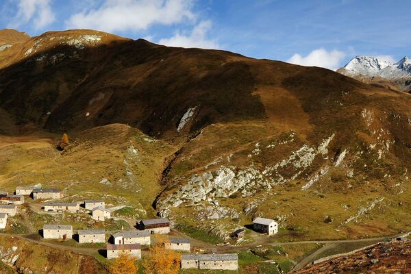
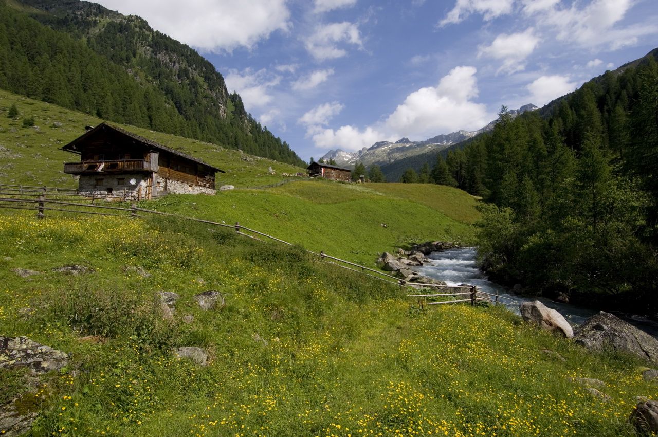
© Österreichs Wanderdörfer - Bernhard Pichler
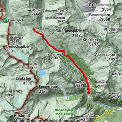
Tour data
17.62km
1,426
- 2,728m
1,259hm
1,242hm
06:41h

Österreichs Wanderdörfer
- Difficulty
-
medium
- Rating
-
- Route
-
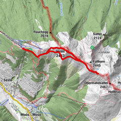
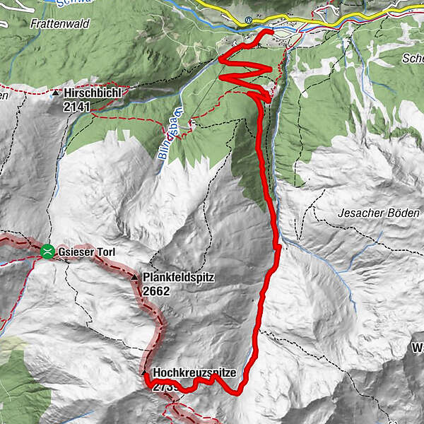
Kapelle MariahilfTalstation0.6 kmStallebach Wasserfall1.4 kmVordere Stalle2.5 kmAlpe Stalle2.7 kmMittlerhochkreuz (2,718 m)8.6 kmHochkreuzspitze (2,739 m)8.8 kmVordere Stalle14.9 kmAlpe Stalle14.9 kmStallebach Wasserfall16.1 kmTalstation17.0 kmKapelle Mariahilf17.6 km
- Best season
-
JanFebMarAprMayJunJulAugSepOctNovDec
- Highest point
- 2,728 m
- Endpoint
-
Hochkreuz
- Height profile
-

-

-
AuthorÖsterreichs WanderdörferThe tour Hochkreuz is used by outdooractive.com provided.
GPS Downloads


General info
A lot of view
Other tours in the regions