© Olympiaregion Seefeld

© Olympiaregion Seefeld
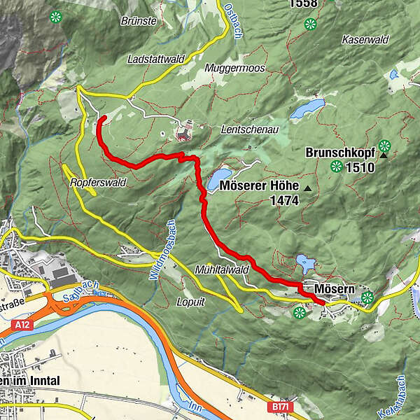
Tour data
4.62km
1,207
- 1,312m
95hm
119hm
01:30h
- Brief description
-
Wanderung zur Ropferstub'm
- Difficulty
-
easy
- Rating
-
- Starting point
-
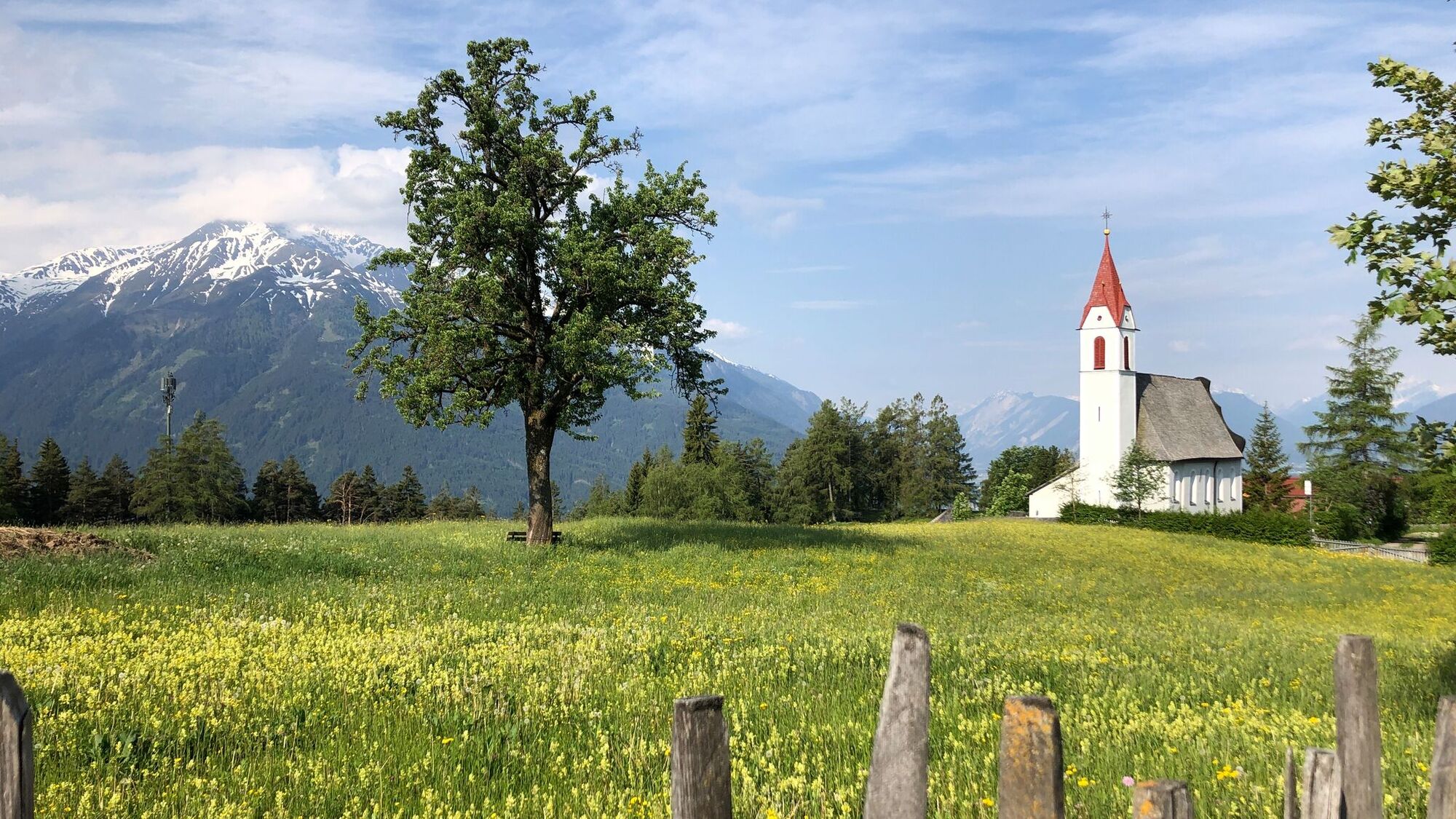
Informationsbüro Mösern
- Route
-
MösernInntalblick0.5 kmRopferstubm (1,215 m)4.5 km
- Best season
-
JanFebMarAprMayJunJulAugSepOctNovDec
- Highest point
- 1,312 m
- Endpoint
-
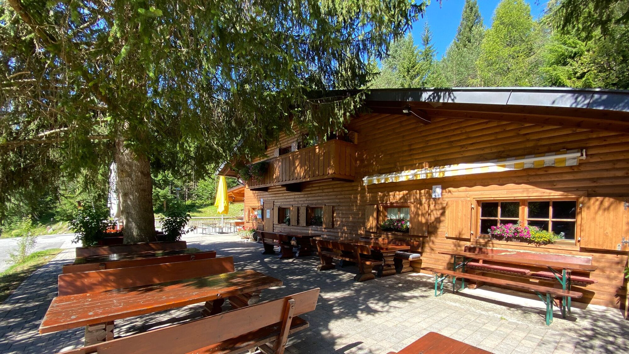
Ropferstub'm
- Rest/Retreat
-
Lottenseehütte, Ropferstub'm
GPS Downloads


Other tours in the regions