

- Brief description
-
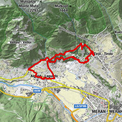
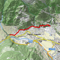
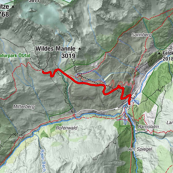
VENT -> Breslauer Hut -> VENT
- Difficulty
-
medium
- Rating
-
- Starting point
-
Breslauer Hut
- Route
-
Vent0.1 kmWildes Mannle1.9 kmPanoramarestaurant Stablein2.0 km
- Best season
-
JanFebMarAprMayJunJulAugSepOctNovDec
- Description
-
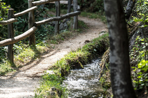
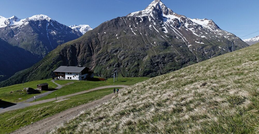
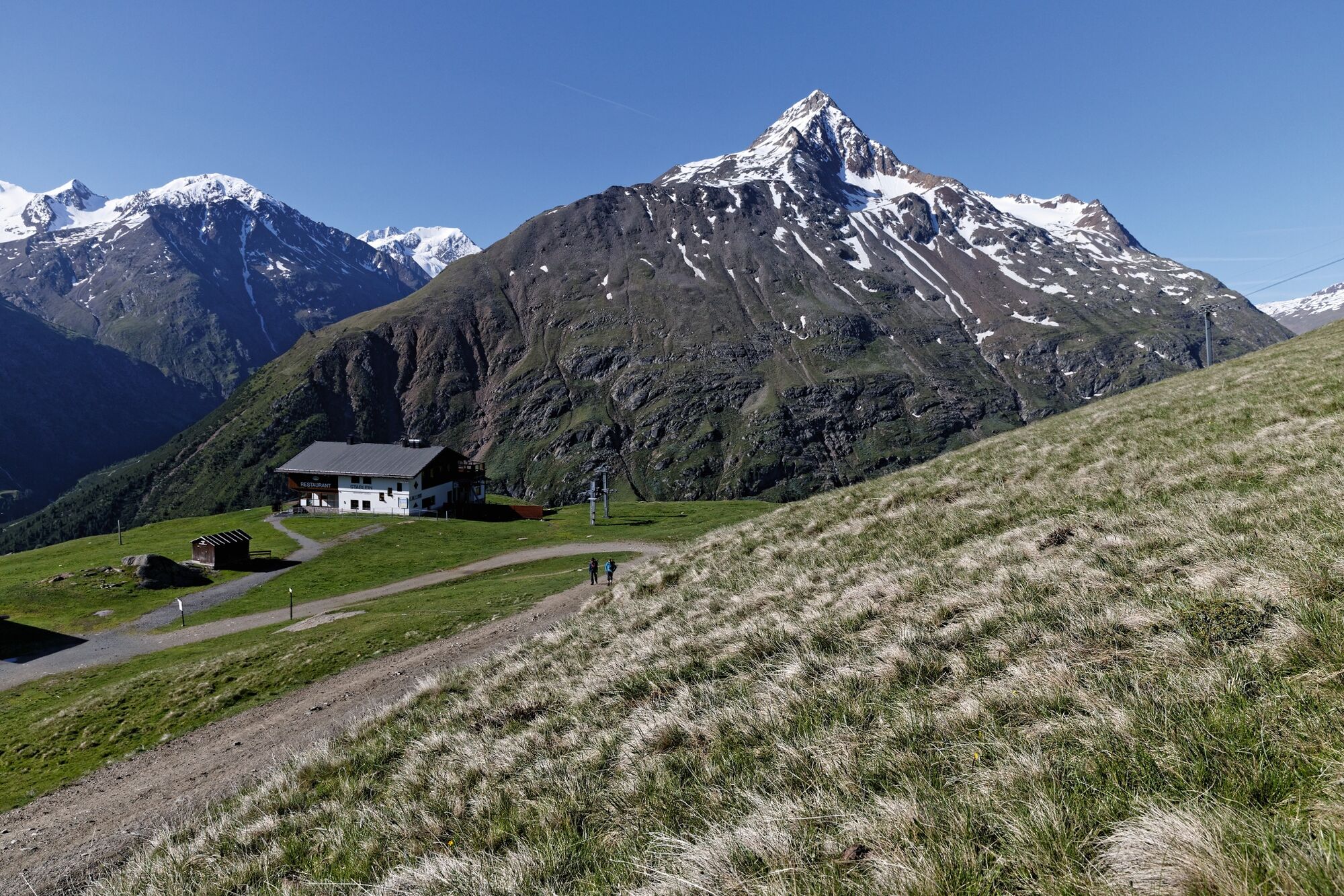
From Vent you walk to Stablein Alm (lift's top station) either along a very broad and permanently ascending trail or on a steeper trail right below the chair lift. At Stableinalm you take the rising footpath – which becomes very steep and narrow at the end – towards Breslauer Hütte.
- Directions
-
From Vent you walk to Stablein Alm (lift's top station) either along a very broad and permanently ascending trail or on a steeper trail right below the chair lift. At Stableinalm you take the rising footpath – which becomes very steep and narrow at the end – towards Breslauer Hütte.
- Highest point
- 2,813 m
- Endpoint
-
Vent
- Height profile
-

- Equipment
-
Appropriate equipment such as breathable suitable outdoor clothes for the weather, ankle-high walking boots, wind-, rain- & sun protection, hat, possibly gloves, is for all hikes and tours necessary. Please bring a first-aid box, a mobile phone, a walking map and if there is no hut on the way a snack and enough to drink.
- Safety instructions
-
Moderate mountain trail; for sure-footed and experienced hikers. Good physical condition, mountain experience & mountain equipment (see notice equipment) necessary. Please pay attention to the current weather report: www.oetztal.com
- Additional information
-
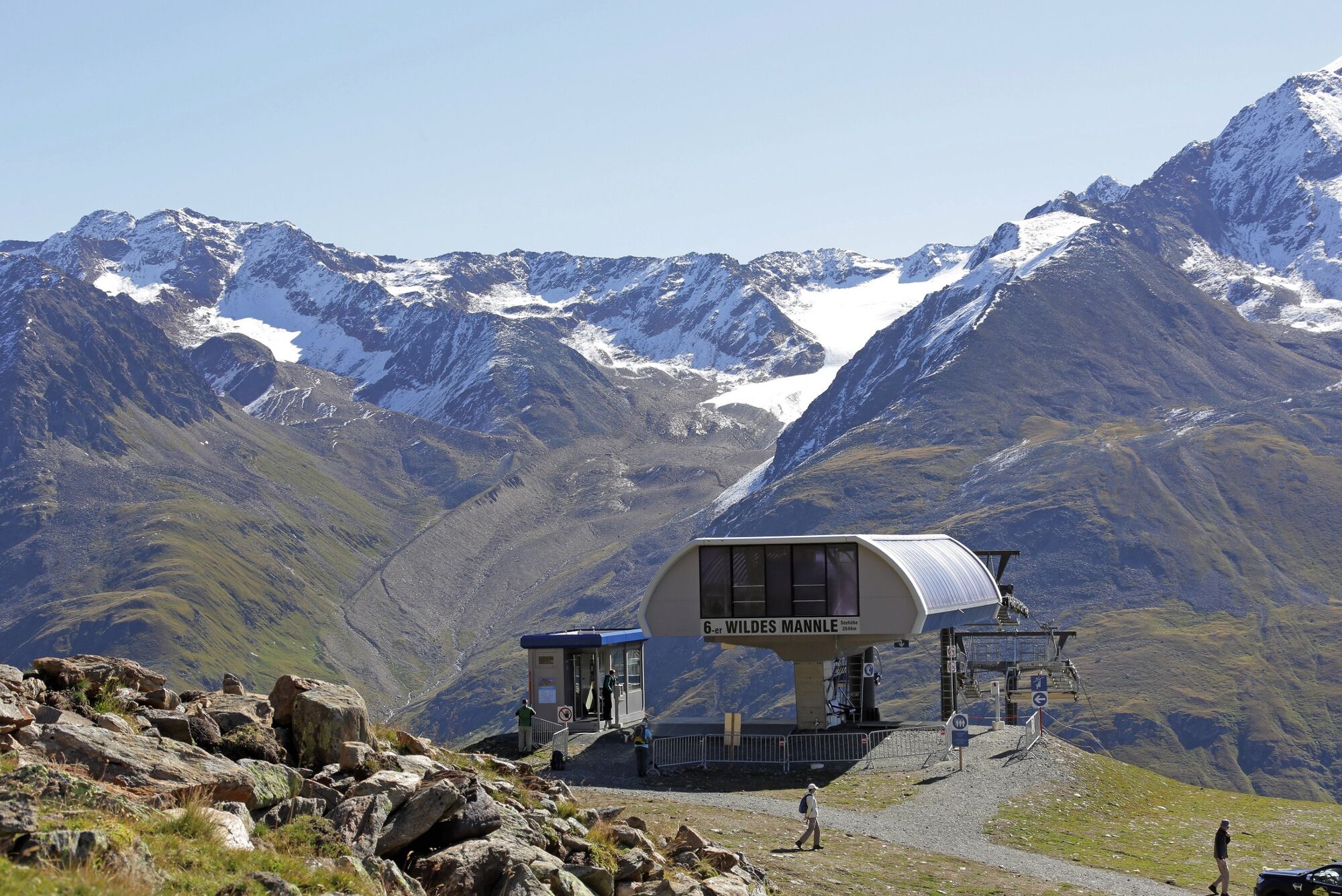
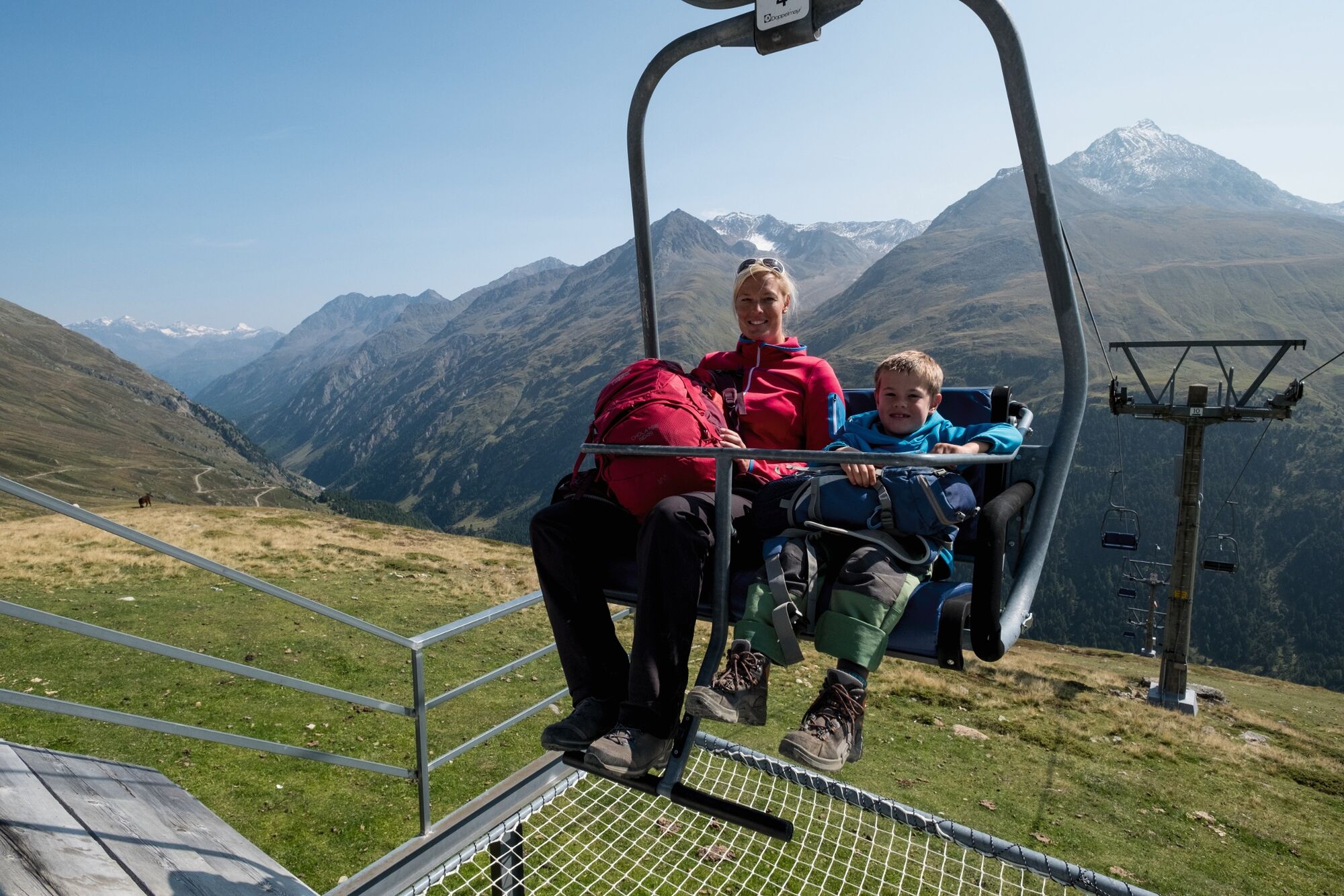
Summer Mountain lifts Vent:
Chairlift Wildspitze 2.354 m and 6-seater chairlift Wildes Mannle 2.646 m
- Directions
-
The car drive to the Ötztal valley. Situated in Tirol, the Ötztal valley set off in southerly direction and is the longest side valley in the Eastern Alps. The journey with the car leads you through the Inntal valley to the entrance of the valley and further on through the valley. Among the toll motorways you can also use the country roads. A route planner will show you the easiest and most convenient way: www.google.at/maps
- Public transportation
-
Travel safe and comfortable with the train to the Ötztal Bahnhof train station. Last stop and exit point is the train station Ötztal Bahnhof. Afterwards you can travel smoothly and quick with the public transport or our local taxi companies through the valley to your desired destination. Please find the current bus timetable here: fahrplan.vvt.at
- Parking
-
The following parking options are available in the mountaineering village Vent
- In summertime in front of the village (parking machine, only coins or EC card) and at the chairlift (at the ticket office of the mountain railways)
- In wintertime only at the chairlift
Cost: € 6,00 per day/car

- Author
-
The tour Vent - Breslauer Hut - Vent is used by outdooractive.com provided.


General info
-
Vinschgau
1290
-
Schnalstal
595
-
Vent
293