

© TVB Wilder Kaiser - TVB Wilder Kaiser/Mario Zebenholzer

© TVB Wilder Kaiser - TVB Wilder Kaiser/Mario Zebenholzer

- Brief description
-
Nice circular hike through Going with visits to numerous chapels.
- Difficulty
-
easy
- Rating
-
- Starting point
-
Hiking starting point Going center (former tourist information Going) (764 m)
- Route
-
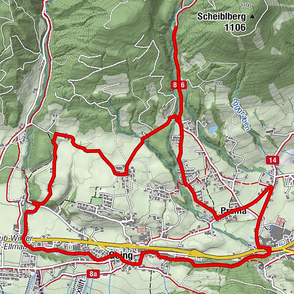
Going0.0 kmTannbichlkapelle4.5 kmPramakapelle6.4 kmPrama6.5 kmStanglwirt7.4 kmDorfwirt8.8 kmGoing9.1 km
- Best season
-
JanFebMarAprMayJunJulAugSepOctNovDec
- Description
-
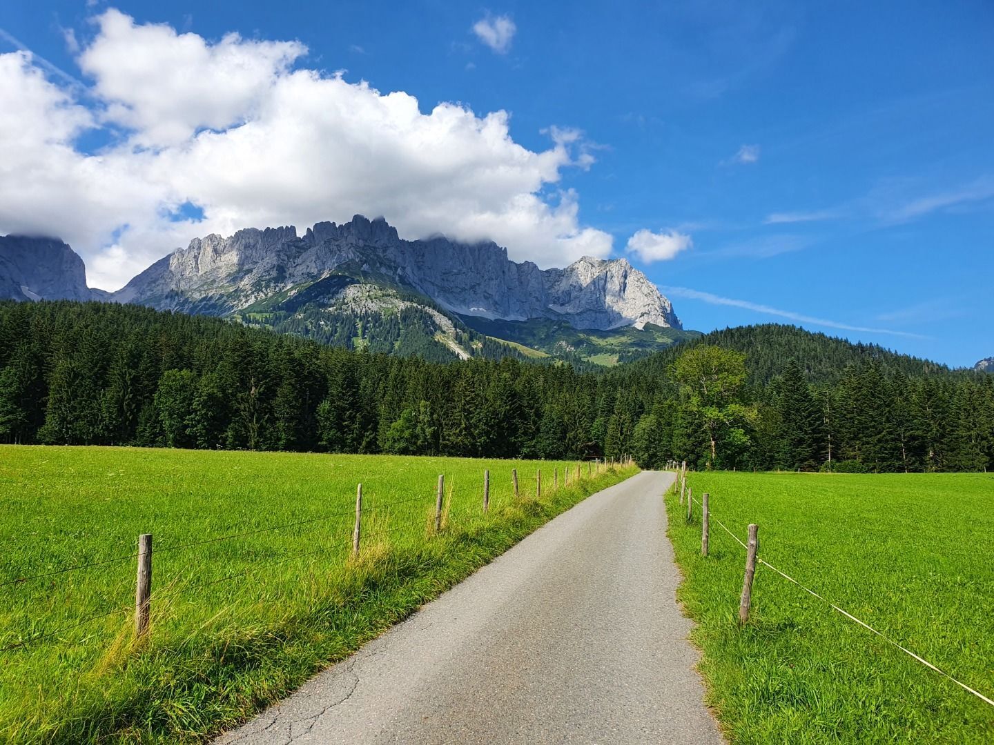
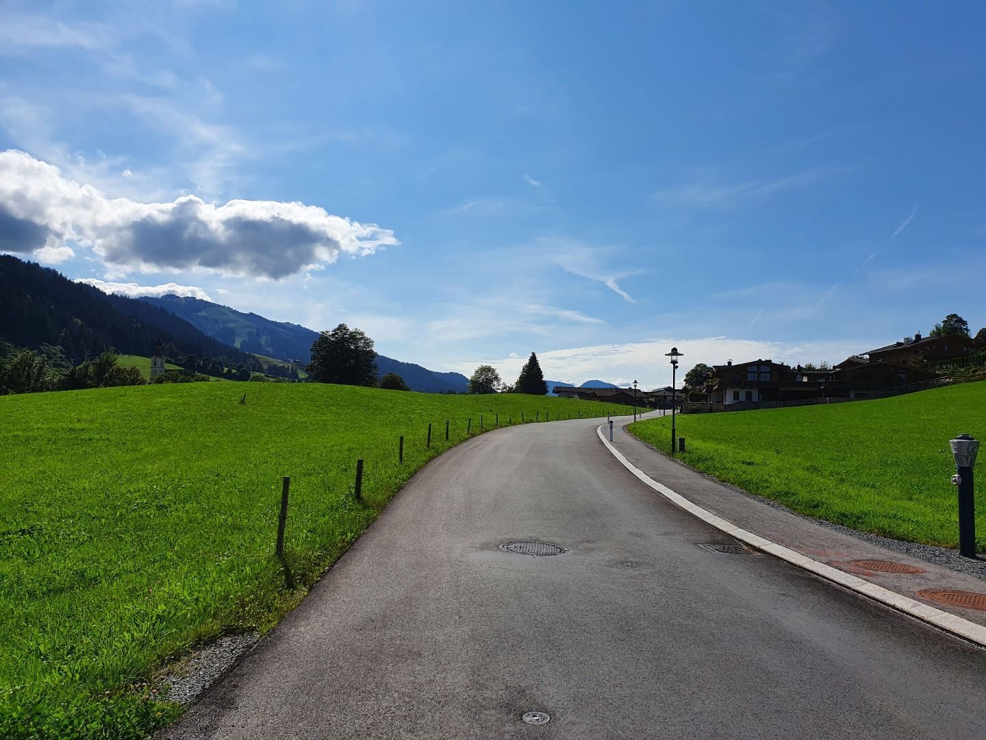
Starting from the hiking starting point Going center (former tourist information Going) (764 m), this trail leads you along the Auweg along the Goinger Hausbach stream, past the Blattlhof farm, to the Blattl chapel. Here you turn right into the Rettweg and follow the footpath in the direction of the Wilder Kaiser. Follow the field path until you reach the farms in the Schwendt district. Once there, trail no. 3 leads you in the direction of Wilder Kaiser until you cross the Kaiserweg. Turn left and follow the forest path until you reach the Tannbichl chapel. Walk along the Kaiserweg until you reach the Pramaweg junction and turn right. Pass some houses, then turn left into the Kapellenweg and reach the Prama chapel. The route continues along Kapellenweg until you reach the Aschauerweg crossroads. Here follow the road to the right until you reach the Stanglwirt. There an underpass leads you to the other side of the road, where you reach the fire station along a footpath. Continue straight ahead until you reach Dorfstraße and the Dorfwirt, where you pass the Dorfwirtskapelle. Opposite the Dorfwirt turn left towards the village square until you reach the parish church. Here you can visit the Ölberg chapel at the cemetery. Cross the church square and follow the road until you reach the starting point.
- Highest point
- 919 m
- Endpoint
-
Hiking starting point Going center (former tourist information Going) (764 m)
- Height profile
-

- Equipment
-
Backpack, hiking / mountain boots, hiking clothing (breathable), sun protection (sunglasses, sunscreen, headgear) rain protection (hardshell), water bottle, possibly hiking poles, hiking map
- Directions
-
Heading from Wörgl or Kufstein on the B178 road, take the exit to Going. Pass the Tourist Information office and turn sharply right just after the bridge. Pass the supermarket "M-Preis" and turn left after the "Schedererhaus" and immediately right again in front of the ski school.
Heading from St. Johann on the B178 road, take the first exit to Going and drive through the village. Before the bridge turn diagonally left. Pass the supermarket "M-Preis" and turn left after the "Schedererhaus" and immediately right again in front of the ski school. - Public transportation
-
KaiserJet or Postbus stops “Going Dorf”.
More information at: www.wilderkaiser.info - Parking
-
Public car par Schedererfeld, Going (780 m) - free
- Author
-
The tour Tannbichl Kapellen Runde is used by outdooractive.com provided.
GPS Downloads


General info
Refreshment stop
Cultural/Historical
Flora
Fauna
A lot of view
Other tours in the regions
-
Wilder Kaiser
1945
-
Going
625


