© Hotel Lumbergerhof - Hotel Lumberger Hof

© Hotel Lumbergerhof - Hotel Lumberger Hof

© Wanderhotels - Hotel Lumberger Hof

© Wanderhotels - Hotel Lumberger Hof

© Wanderhotels - Hotel Lumberger Hof

- Brief description
-
Uphill walk on the mountain path, slippery after rainfall.
- Route
-
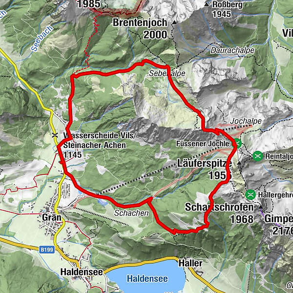
Lumberg0.4 kmSebenalpe (1,640 m)3.7 kmJochalpe5.1 kmGamskopf (1,890 m)5.2 kmSonnenalm5.6 kmFüssener Jöchle5.8 kmSt. Nepomuk-Kapelle10.8 km
- Description
-
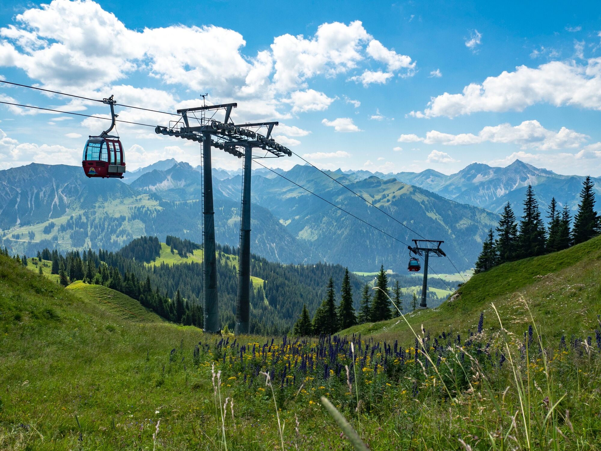
Start at the Hotel. On the hiking path to the direction Sebenalpe, continue to the Füssner Jöchle. Just before the Sonnenalm, you will find a view point at the cross. After the rest in the Sonnenalm we go downhill passing the Gessenwangalpe back to the hotel. Also possible with the cable car.
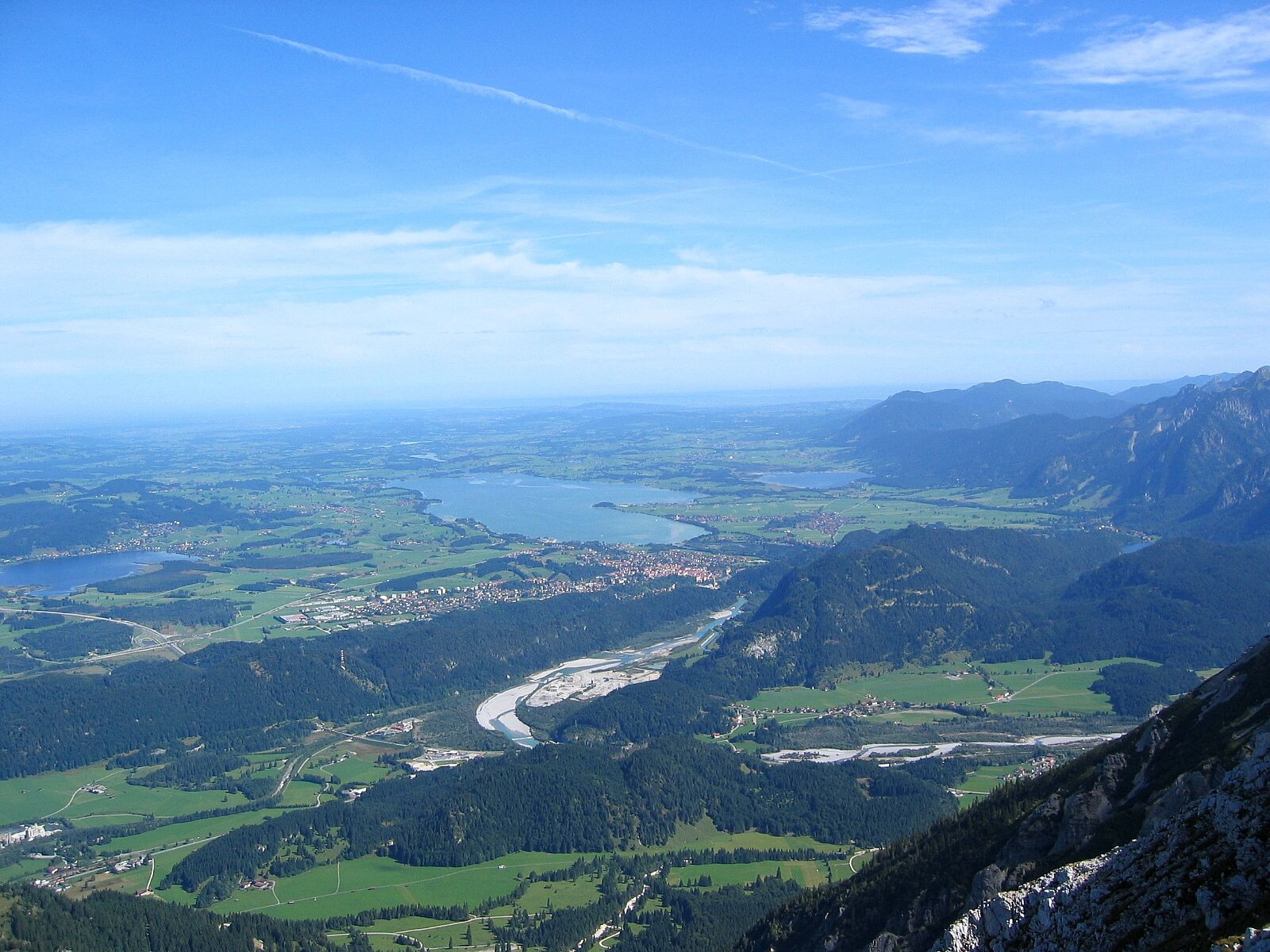
Impressing view over the Tannheimertal and the Allgäu!
- Highest point
- 1,903 m
- Height profile
-


-

-
AuthorThe tour Füssner Jöchle Sonnenalm is used by outdooractive.com provided.
GPS Downloads


Other tours in the regions
-
Allgäu
2362
-
Tannheimer Tal
1459
-
Grän-Haldensee - Füssener Jöchle
571