
- Brief description
-
A hike in the rear Zillertal with a dreamlike mountain scenery.
- Starting point
-
Tux-Lanersbach
- Route
-
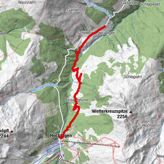
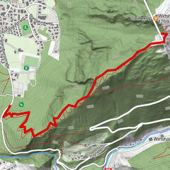
Lanersbach0.2 kmWasserspielplatz0.6 kmHöllensteinhütte3.7 kmBerggasthof Grieralm6.1 kmMadseit (1,450 m)9.2 km
- Best season
-
JanFebMarAprMayJunJulAugSepOctNovDec
- Description
-
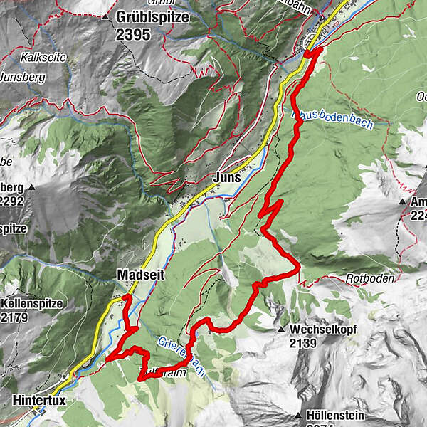
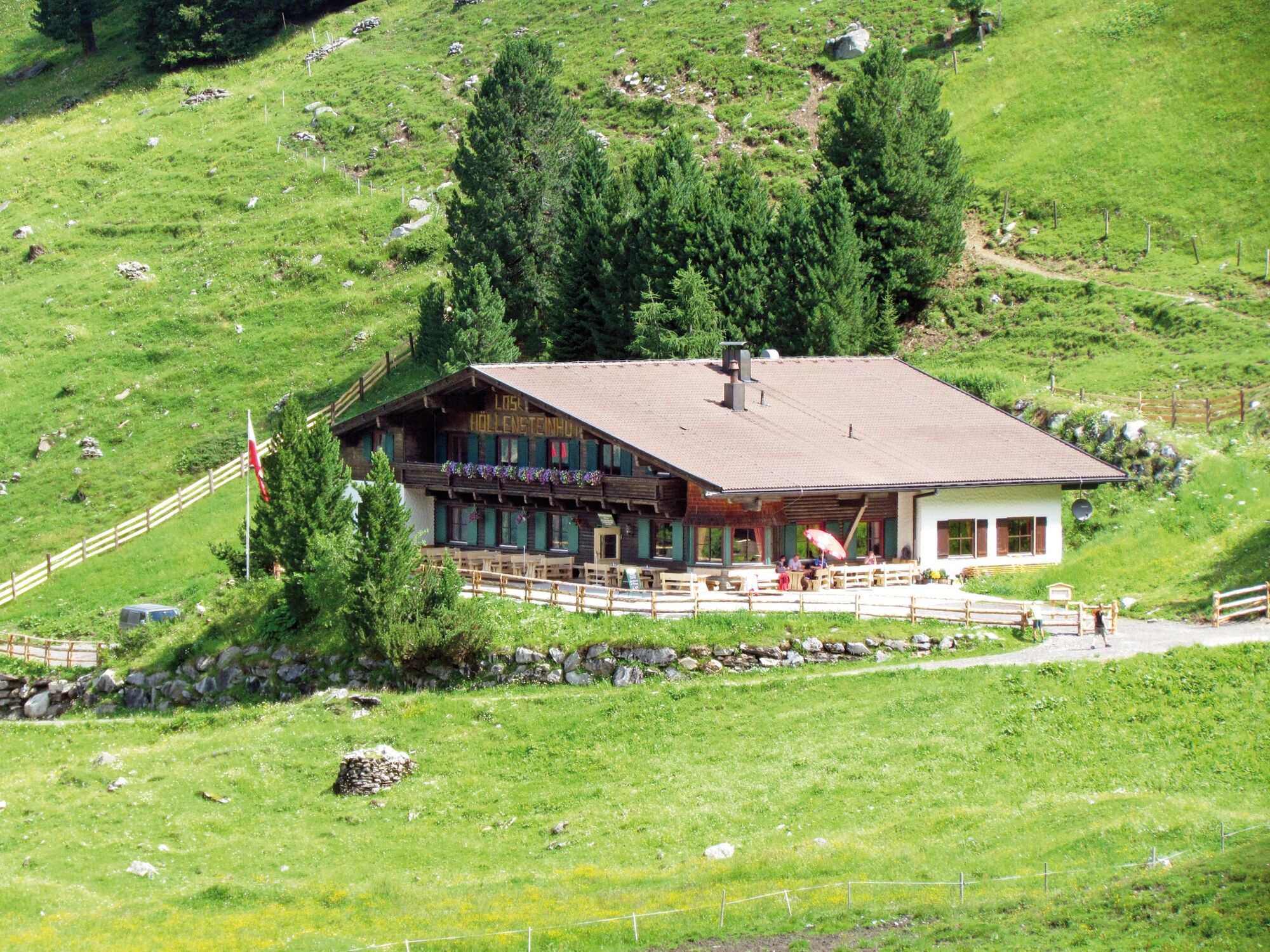
From Tux-Lanersbach, the trail initially follows the forest road, but soon an old mule track crosses the path and winds its way up through the forest until the view of Junsberg, Madseitberg and Grüblspitze becomes clear. Reaching the Höllensteinhütte after about 1 hour, the trail continues up to the Tapeneck. Past the Grierlacke, a forest road leads towards Lanersbach, the descent is possible via Juns/Klausboden or Tulferalm/Madseit.
- Directions
-
The start is in Tux-Lanersbach, at 1,300 m above sea level. At first, the trail follows the forest road (trail no. 28) for a while, but soon a beautiful old mule track crosses the trail and winds its way up through the forest until the view becomes clear and the Junsberg, the Madseitberg and the Grüblspitze greet you. In total, the tour to the Höllensteinhütte (1,740 m) takes about 1 1/2 hours. The route continues through the forest up to Tapeneck (1,830 m). From afar the Grierlacke glitters and soon the Grieralm is in sight. The beautiful parlors at the rustic Grieralm and the self-carved eagle chairs invite you to linger. From the Grieralm, a well-marked, narrow trail no. 22 leads via the Tulferalm (1,700 m) down to Madseit.
- Highest point
- 1,901 m
- Endpoint
-
Madseit
- Height profile
-

- Equipment
-
For an easy tour that lasts a day or several hours, the basic equipment of a hike is enough for you. This includes:
Good and reasonable footwear
Backpack (approx. 15-20l)
Enough provisions: drinks, preferably water in refillable drinking bottles, at least one meal and snacks like energy bars for in between, think also of a small plastic bag for waste!
Proper hiking clothing: avoid sweating too much and hypothermia, pack a light change of clothes if necessary, a jacket should never be missing and possibly rain gear (pay attention to weather forecast!)
Sun protection: sunscreen, sunglasses and headgear.
Cell phone (charged!) with emergency app, ID card, possibly alpine club ID and cash for the huts
First aid kit, blister plasters and handkerchiefs
Hiking poles
Especially as a beginner, your backpack should end up weighing no more than 9kg. The motto is: as much as necessary, as little as possible.
- Safety instructions
-
Information on the current trail conditions can be obtained from the responsible tourism associations by telephone during the respective opening hours. Zillertal Tourism assumes no liability.
- Tips
-
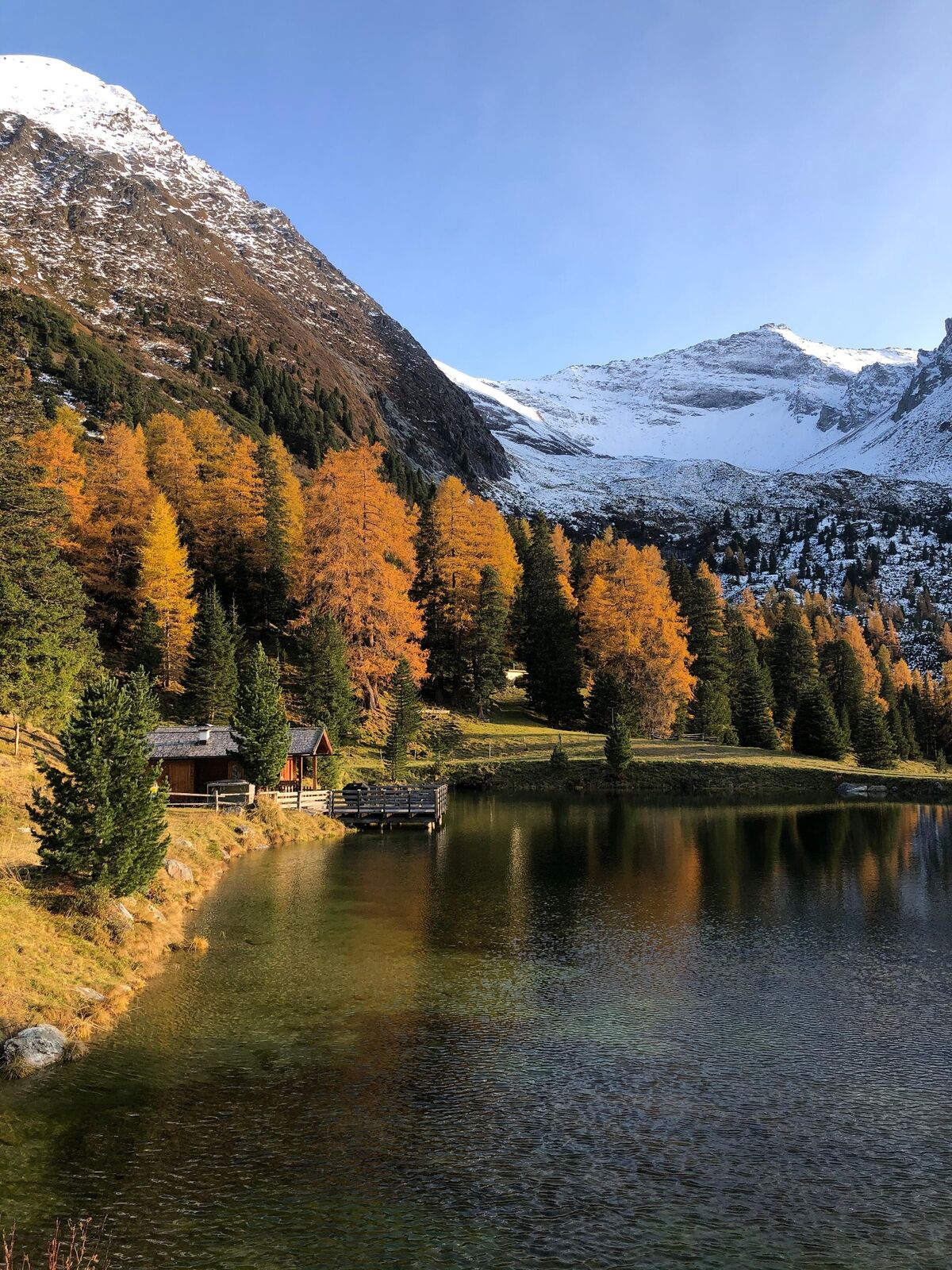
The lakes between the Höllensteinhütte and the Grieralm are beautiful to look at. Let nature work its magic on you!
- Additional information
-
The entire range of hikes, as well as information on all the places to stop for refreshments, the Zillertal Alps High Mountain Nature Park and the summer mountain railroads can be found at www.zillertal.at/hike.
- Directions
-
Unlimited mobility during your vacation is ensured by the comprehensive transport offer consisting of buses, hiking cabs, summer mountain railroads (depending on the route) and the Zillertalbahn.
The Zillertal Activcard allows you free use of most means of public transport as well as one ascent and descent with a mountain railroad every day. You can find more information on www.zillertal.at/en/activcard.
Detailed timetable information can be found at www.zillertal.at/timetables.
- Public transportation
-
Unlimited mobility during your vacation is ensured by the comprehensive transport offer consisting of buses, hiking cabs, summer mountain railroads (depending on the route) and the Zillertalbahn.
The Zillertal Activcard allows you free use of most means of public transport as well as one ascent and descent with a mountain railroad every day. You can find more information on www.zillertal.at/en/activcard.
Detailed timetable information can be found at www.zillertal.at/timetables.
- Parking
-
Eggalm Bahnen, Lanersbach 395, 6293 Tux
-

-
AuthorThe tour Tux - Höllensteinhütte - Grieralm is used by outdooractive.com provided.


General info
-
Brixen und Umgebung
1976
-
Tux - Finkenberg
990
-
Tux
294