- Brief description
-
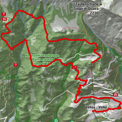
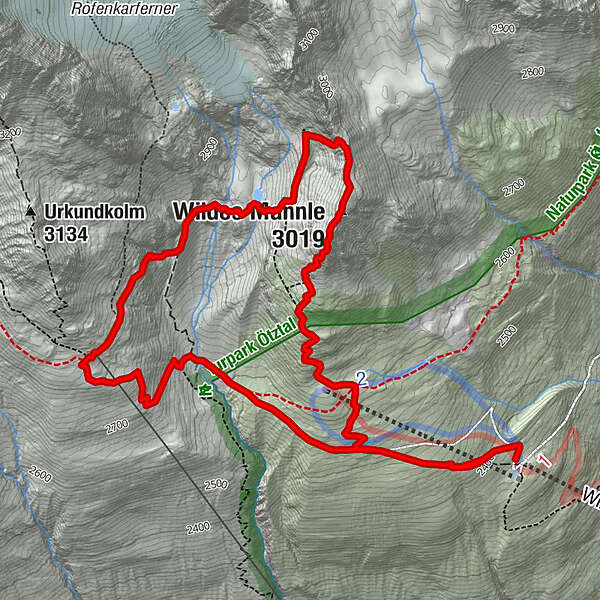
VENT -> WILDER MANN -> BRESLAUER HÜTTE -> STABLEINALM
- Difficulty
-
medium
- Rating
-
- Starting point
-
Vent
- Route
-
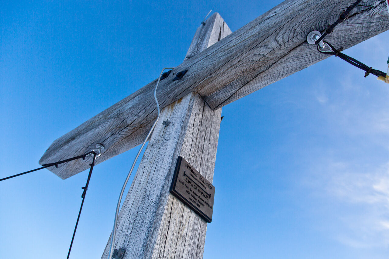
Wildes Mannle (3,019 m)2.5 kmBreslauer Hütte4.8 km
- Best season
-
JanFebMarAprMayJunJulAugSepOctNovDec
- Description
-
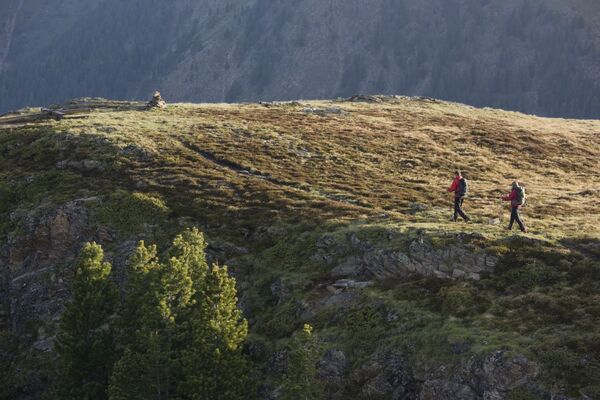
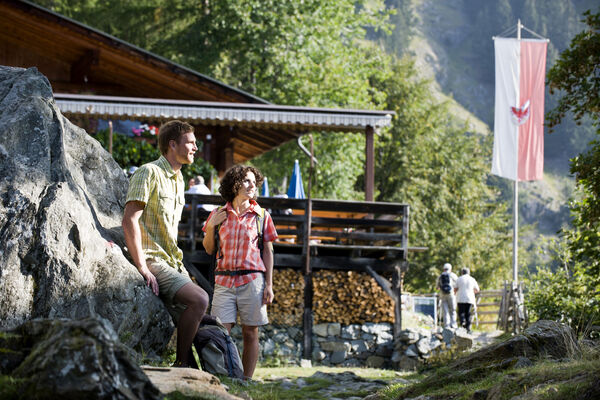
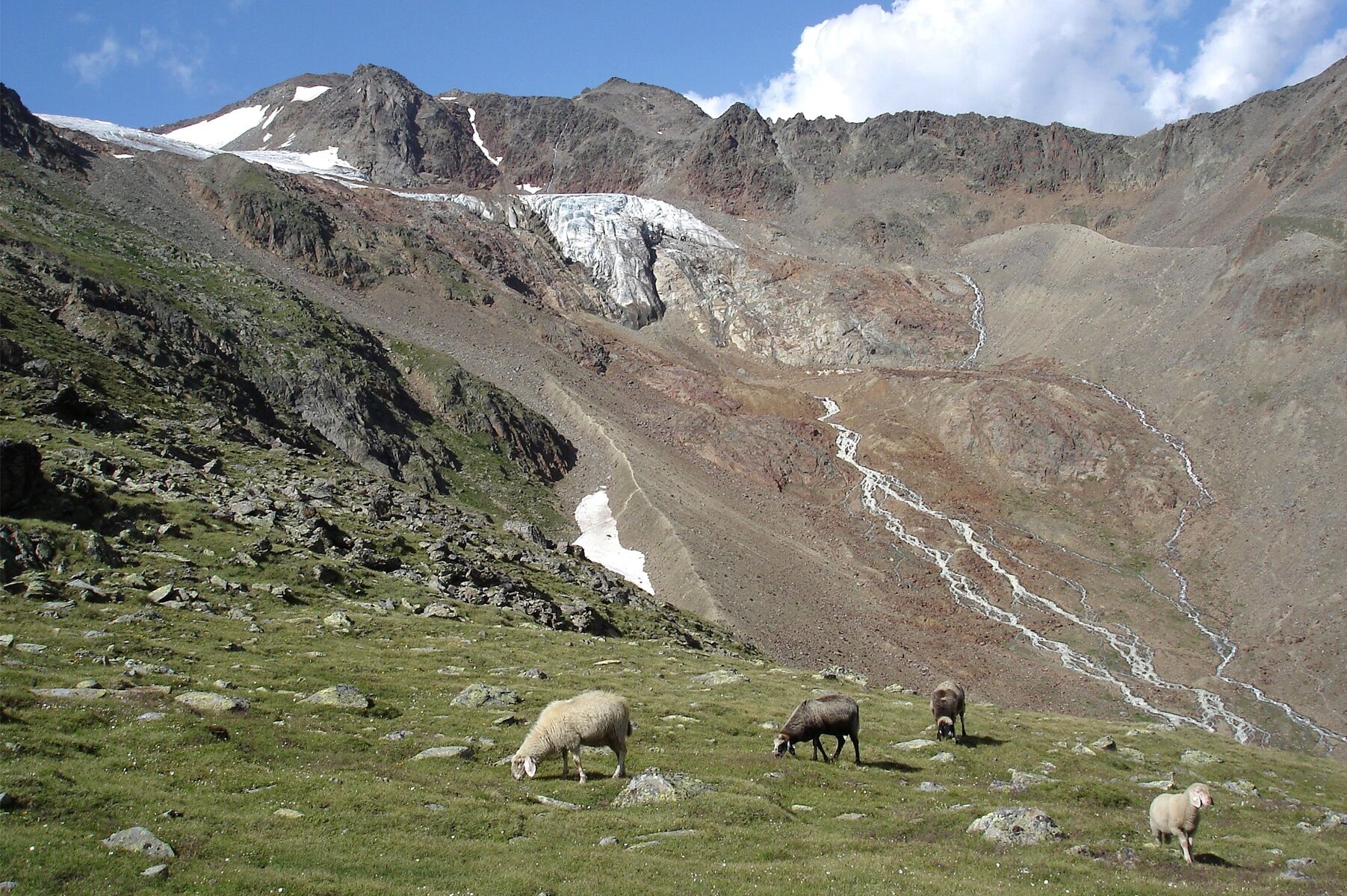
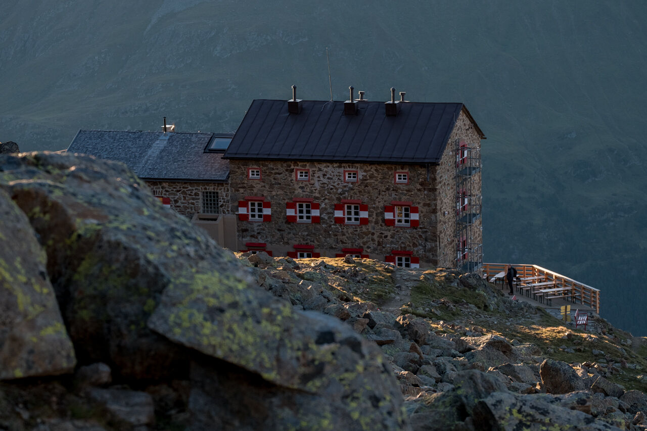
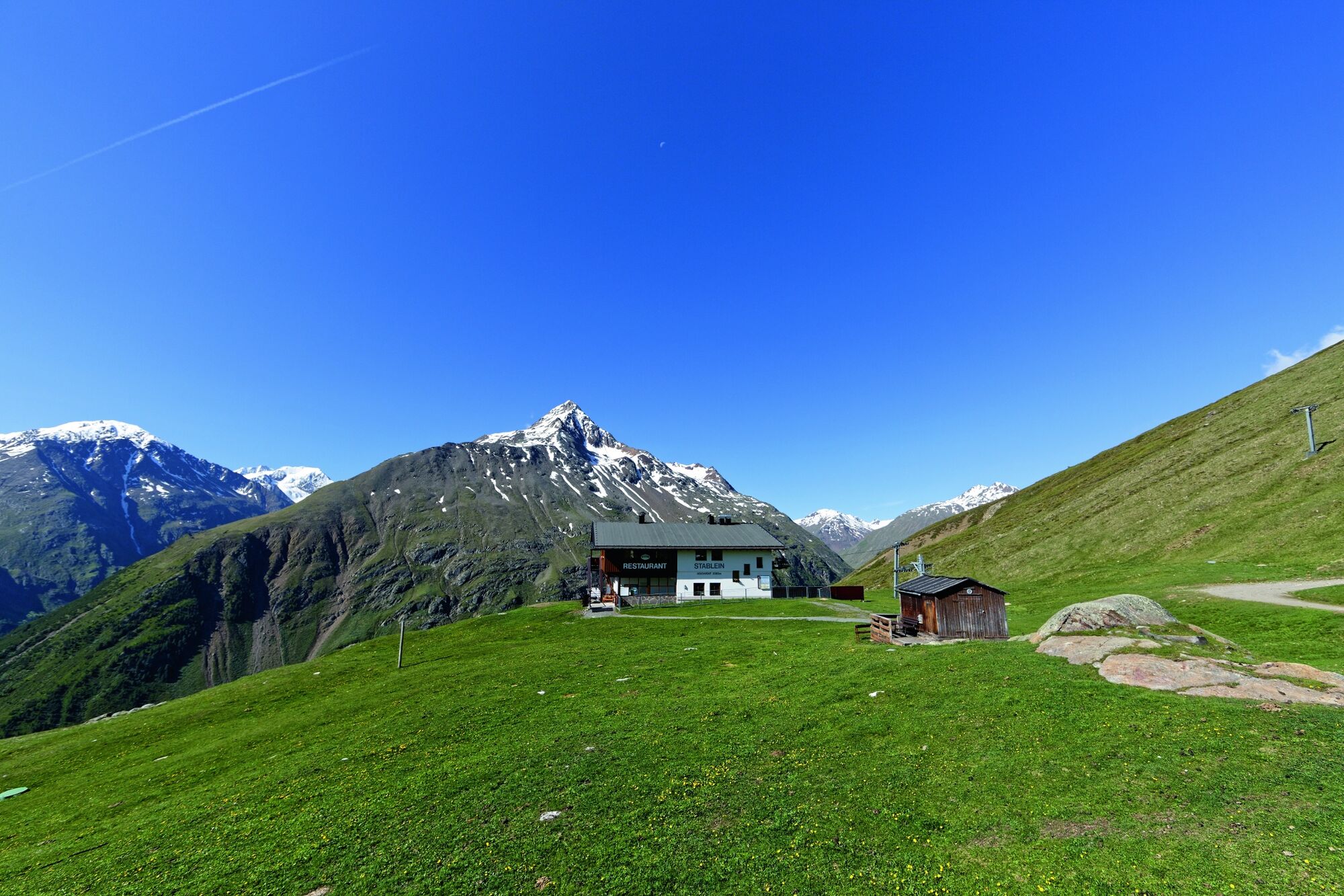
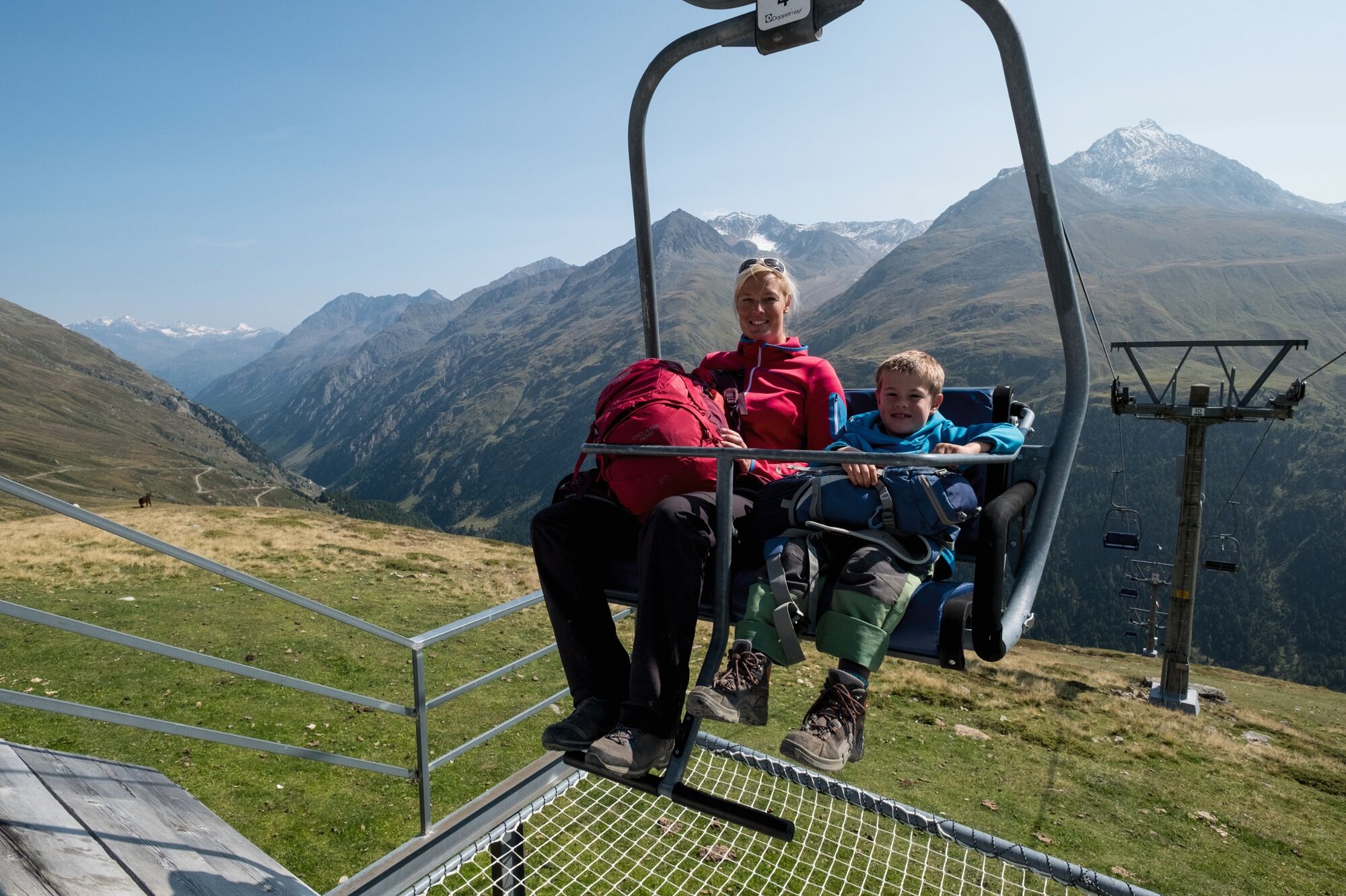
You take the Wildspitze double chairlift from Vent up to Stableinalm (2354 m) where a broad trail leads towards Breslauer Hütte 2844 m for about 30 walking minutes. Then turn right, after approx. 30 minutes you turn right to the peak Wilder Mann. A steep and rocky path winds its way up to the peak, ropes are provided for your safety. Indulge in picture-book panoramic views of Wildspitze (right opposite), the mountains of Vent and the Ortler massif. The descent starts on the summit, leading into the gap and to the glacier snout of Rofenkarferner on a secured footpath. Here you can walk down either towards Breslauer Hütte or Stableinalm. The hike from Stableinalm to Wilder Mann takes about 2.5 hours, from Wilder Mann to Breslauer Hütte approximately 1 1/2 hours. From Breslauer Hütte back to Stableinalm you walk more or less 1 hour.
- Directions
-
You take the Wildspitze double chairlift from Vent up to Stableinalm (2354 m) where a broad trail leads towards Breslauer Hütte 2844 m for about 30 walking minutes. Then turn right, after approx. 30 minutes you turn right to the peak Wilder Mann. A steep and rocky path winds its way up to the peak, ropes are provided for your safety. Indulge in picture-book panoramic views of Wildspitze (right opposite), the mountains of Vent and the Ortler massif. The descent starts on the summit, leading into the gap and to the glacier snout of Rofenkarferner on a secured footpath. Here you can walk down either towards Breslauer Hütte or Stableinalm. The hike from Stableinalm to Wilder Mann takes about 2.5 hours, from Wilder Mann to Breslauer Hütte approximately 1 1/2 hours. From Breslauer Hütte back to Stableinalm you walk more or less 1 hour.
- Highest point
- 3,010 m
- Endpoint
-
Wilder Mann
- Height profile
-

- Equipment
-
Appropriate equipment such as breathable suitable outdoor clothes for the weather, ankle-high walking boots, wind-, rain- & sun protection, hat, possibly gloves, is for all hikes and tours necessary. Please bring a first-aid box, a mobile phone, a walking map and if there is no hut on the way a snack and enough to drink.
- Safety instructions
-
Secured footpath;
- Additional information
- Directions
- Public transportation
- Parking
-
The following parking options are available in the mountaineering village Vent
- In summertime in front of the village (parking machine, only coins or EC card) and at the chairlift (at the ticket office of the mountain railways)
- In wintertime only at the chairlift Cost: € 6,00 per day/car

- Author
-
The tour Vent - Wilder Mann - Breslauer Hütte - Stableinalm is used by outdooractive.com provided.


General info
-
Vinschgau
1287
-
Schnalstal
596
-
Vent
292