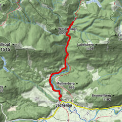
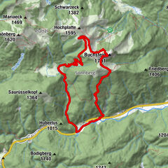
Tour data
11.8km
938
- 2,040m
1,129hm
1,136hm
05:05h
- Brief description
-
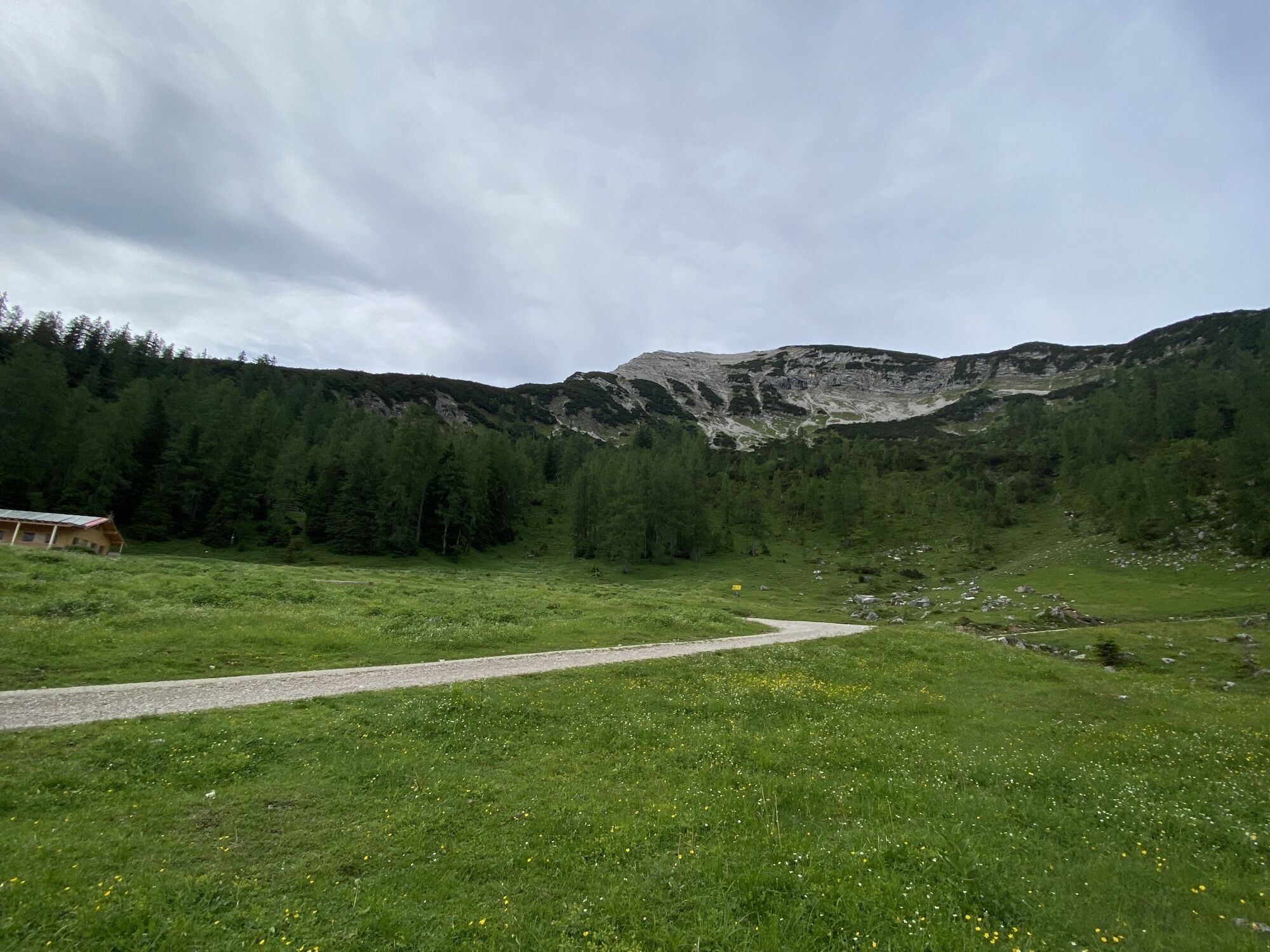
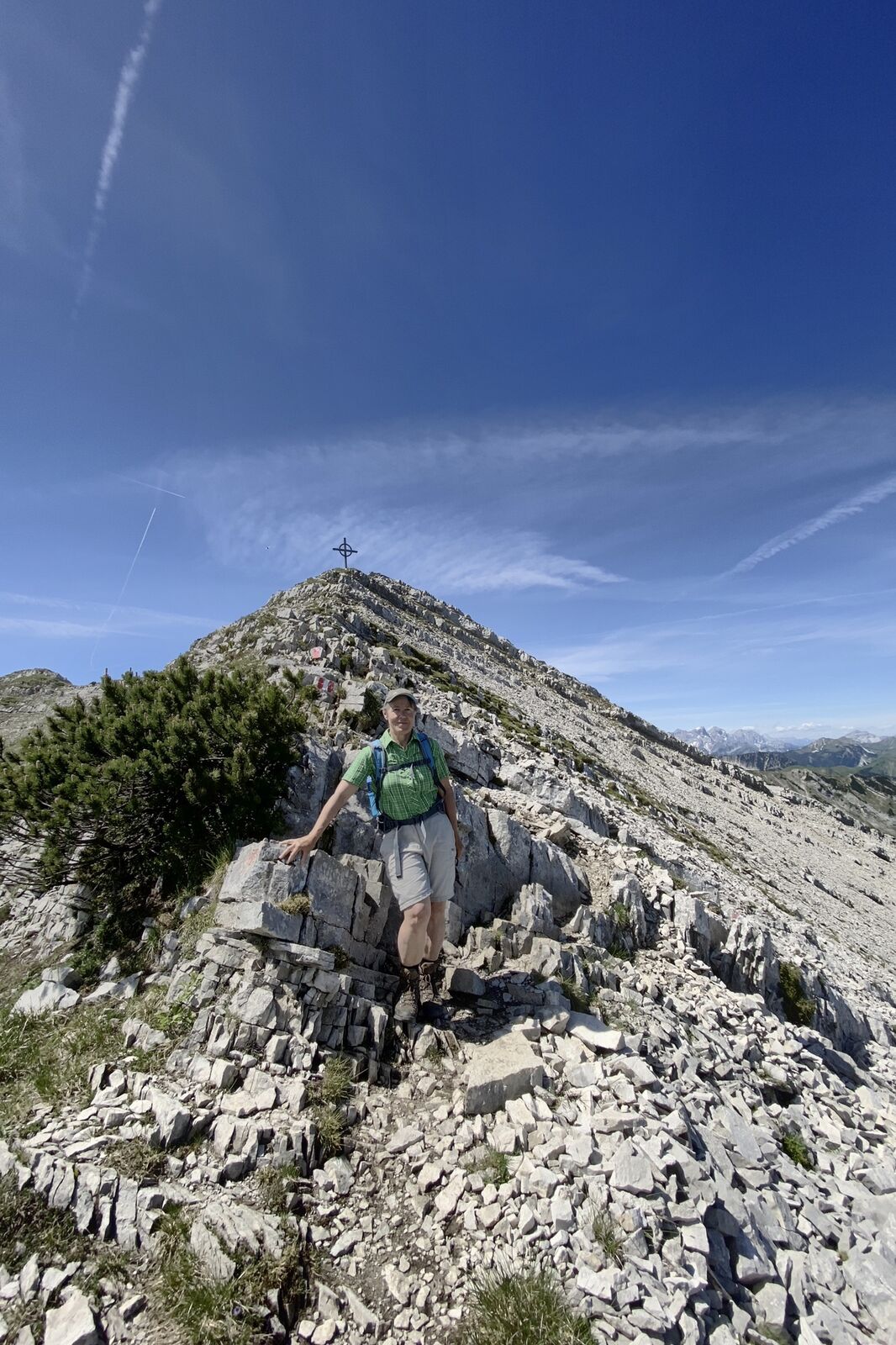
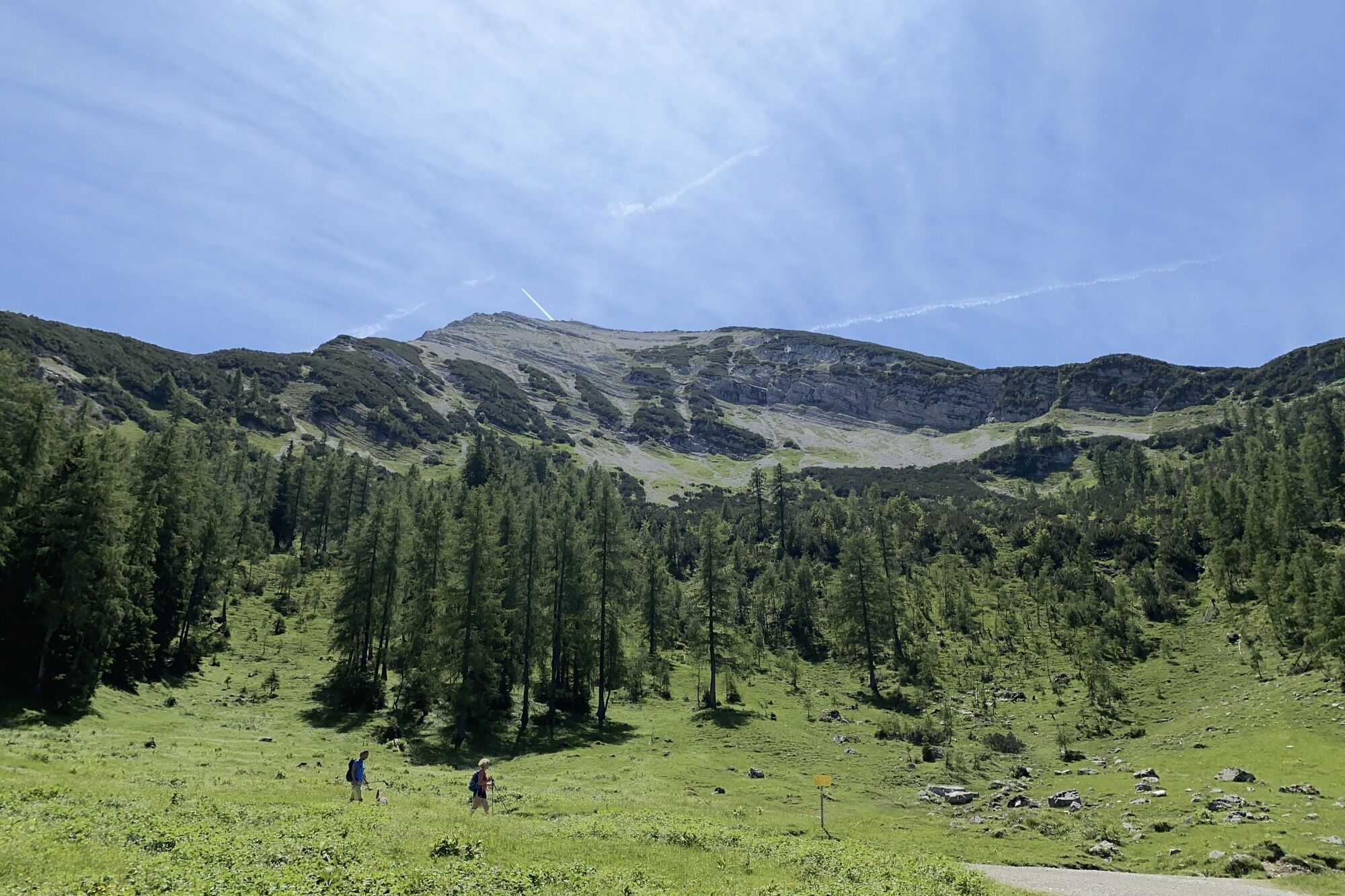
Nicht leicht aber lohnenswert.
- Difficulty
-
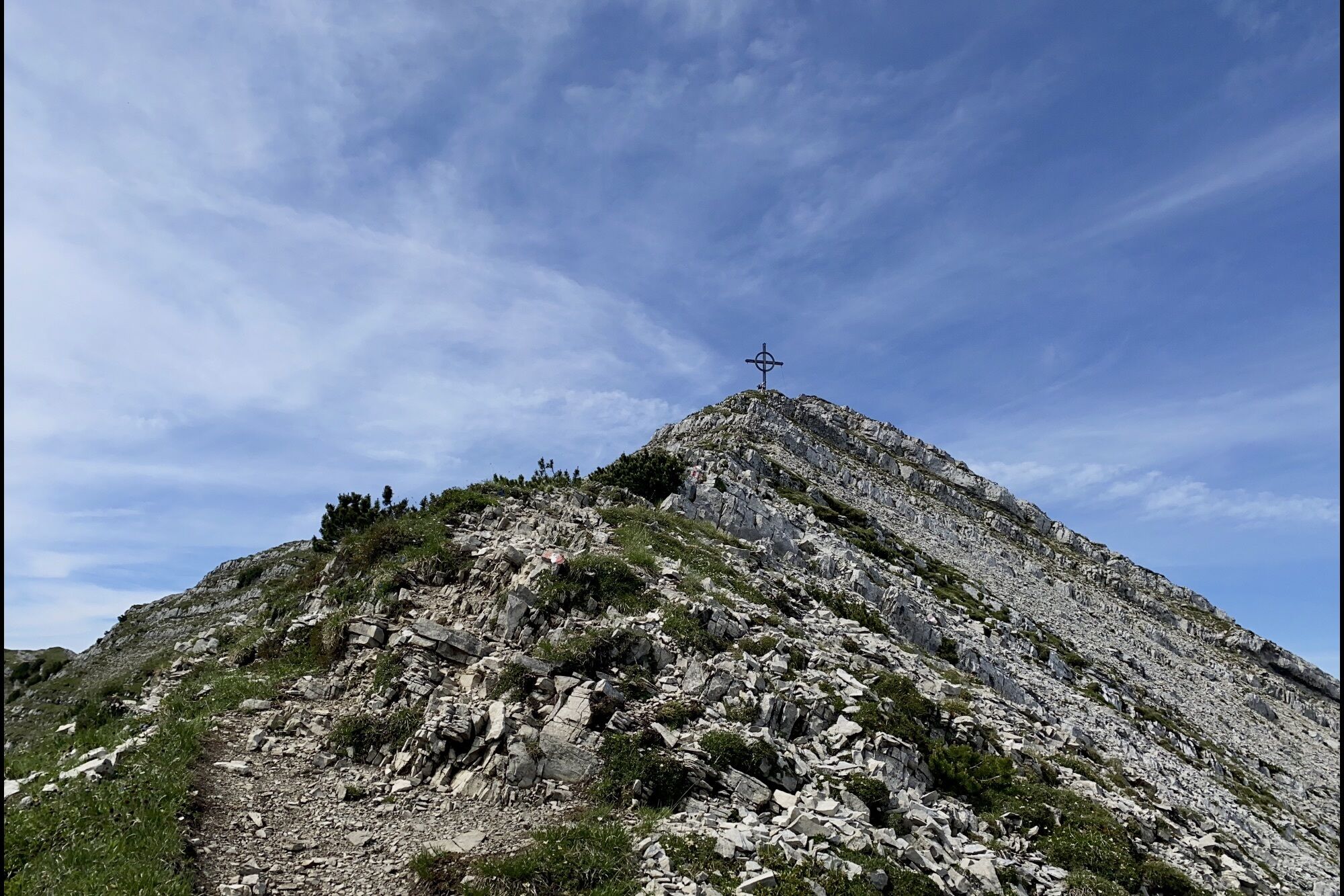
difficult
- Rating
-
- Route
-
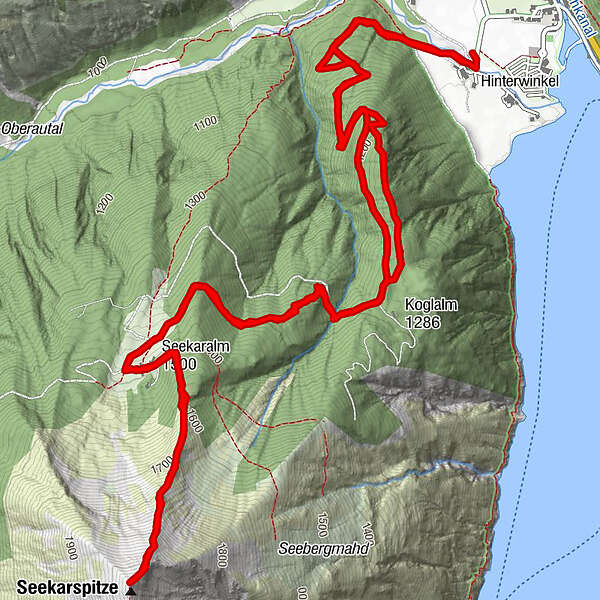
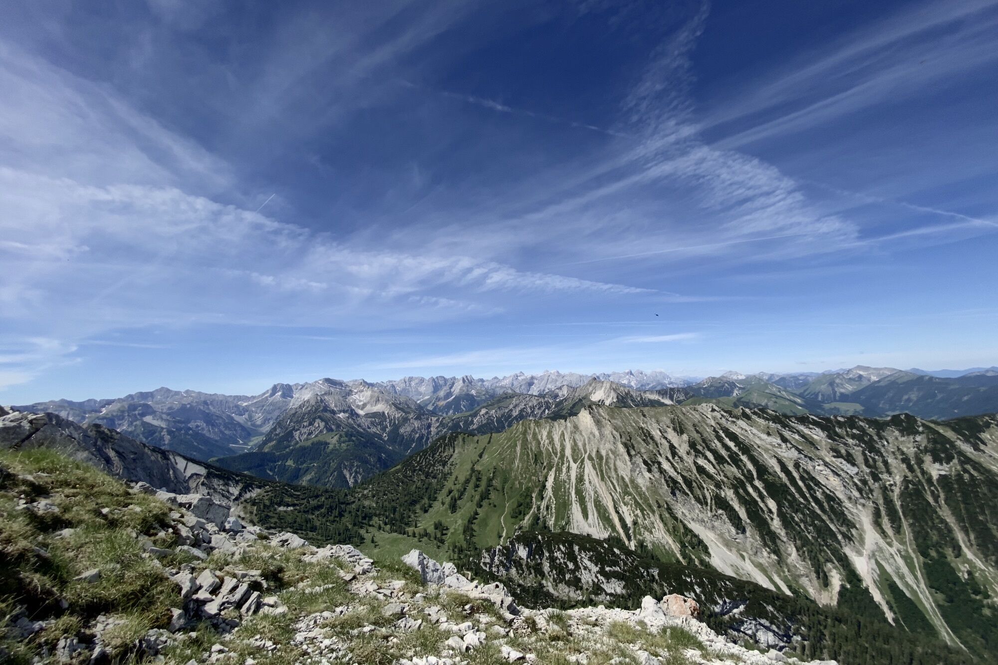
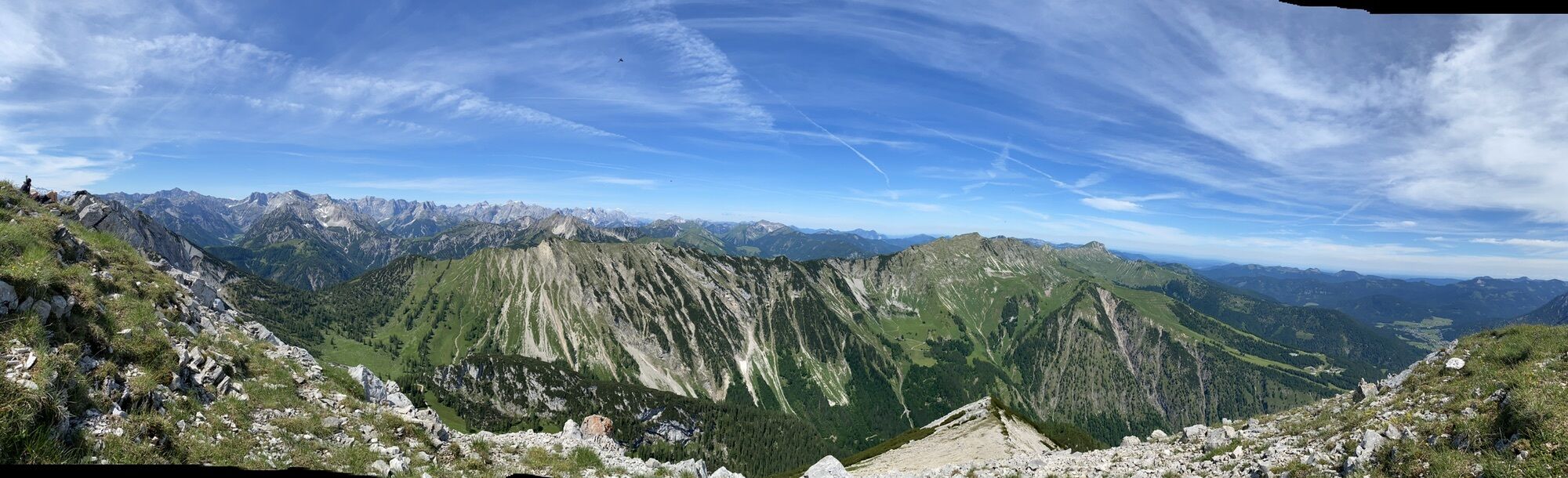
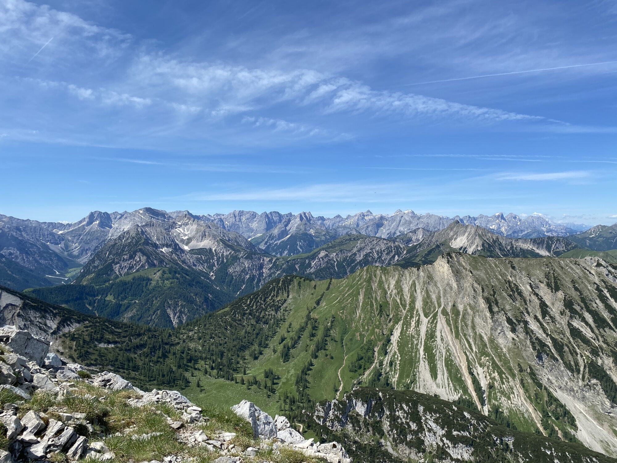
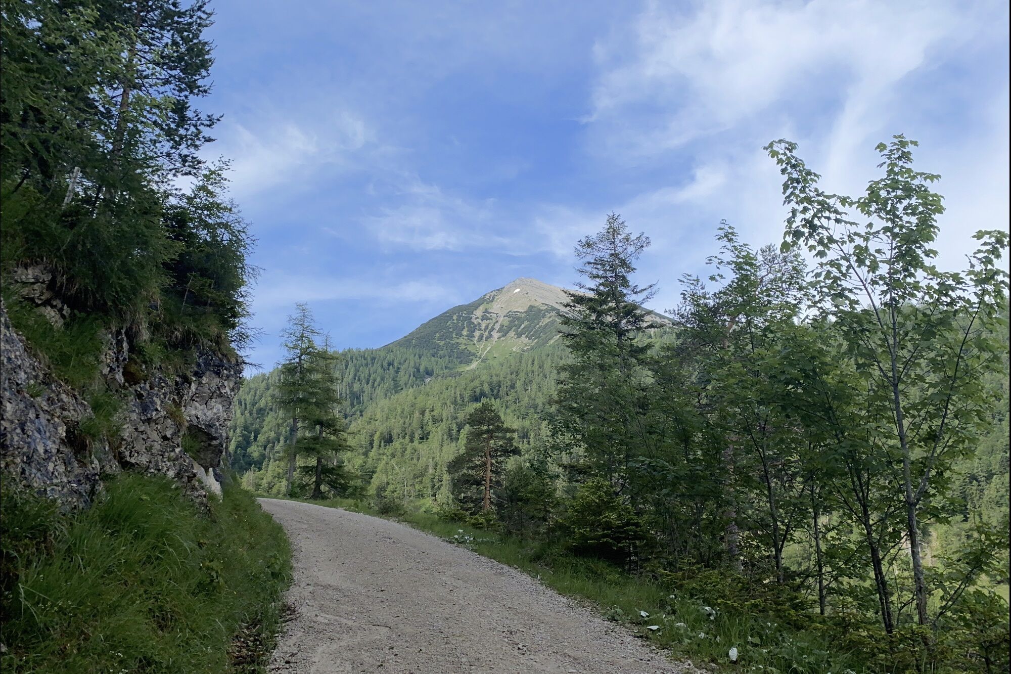
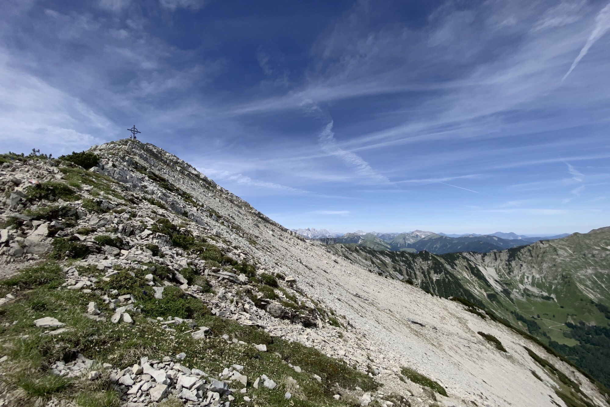
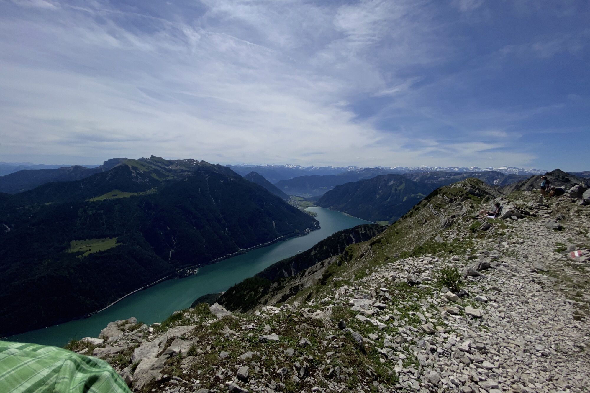
Seekarspitze (2,053 m)6.0 km
- Highest point
- 2,040 m
GPS Downloads


Other tours in the regions
-
Achensee
1364
-
Achenkirch am Achensee
308