

© TVB Wilder Kaiser - TVB Wilder Kaiser/Daniela Pfeiler

© TVB Wilder Kaiser - TVB Wilder Kaiser/Daniela Pfeiler

© TVB Wilder Kaiser - TVB Wilder Kaiser/Daniela Pfeiler

© TVB Wilder Kaiser - TVB Wilder Kaiser/Daniela Pfeiler

- Brief description
-
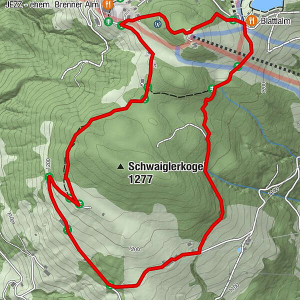
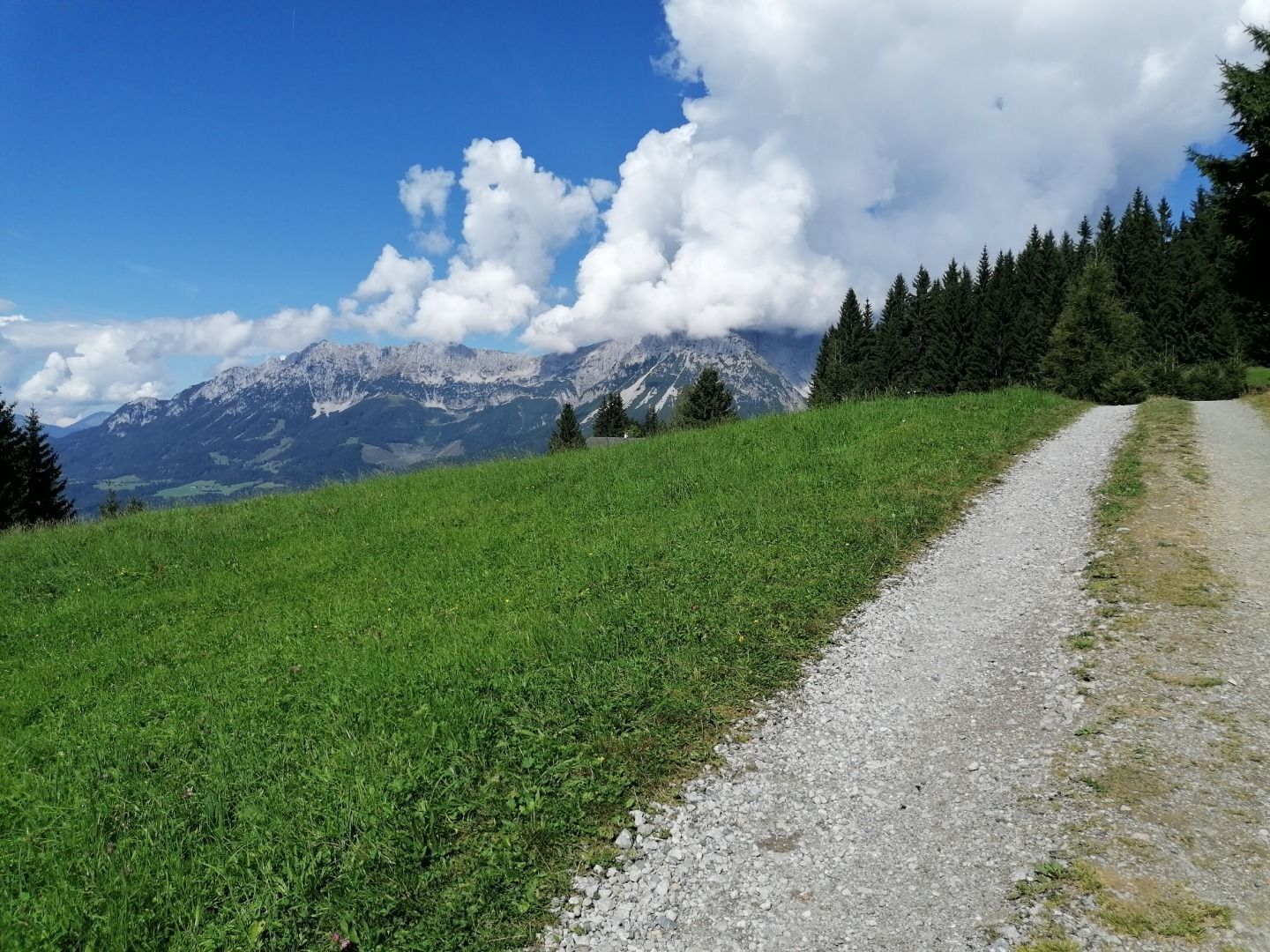
circuit tour with breathtaking panorama
- Difficulty
-
easy
- Rating
-
- Starting point
-
Astberg Bergstation
- Route
-
Blattlalm4.0 kmAstberg4.0 km
- Best season
-
JanFebMarAprMayJunJulAugSepOctNovDec
- Description
-
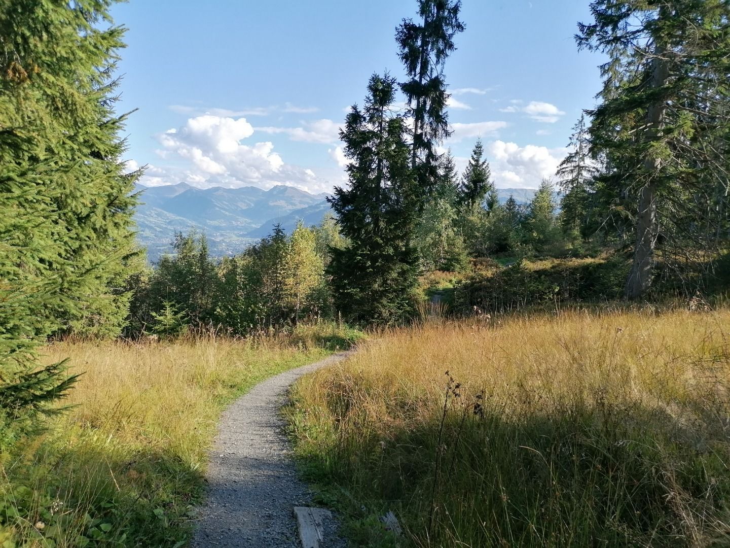
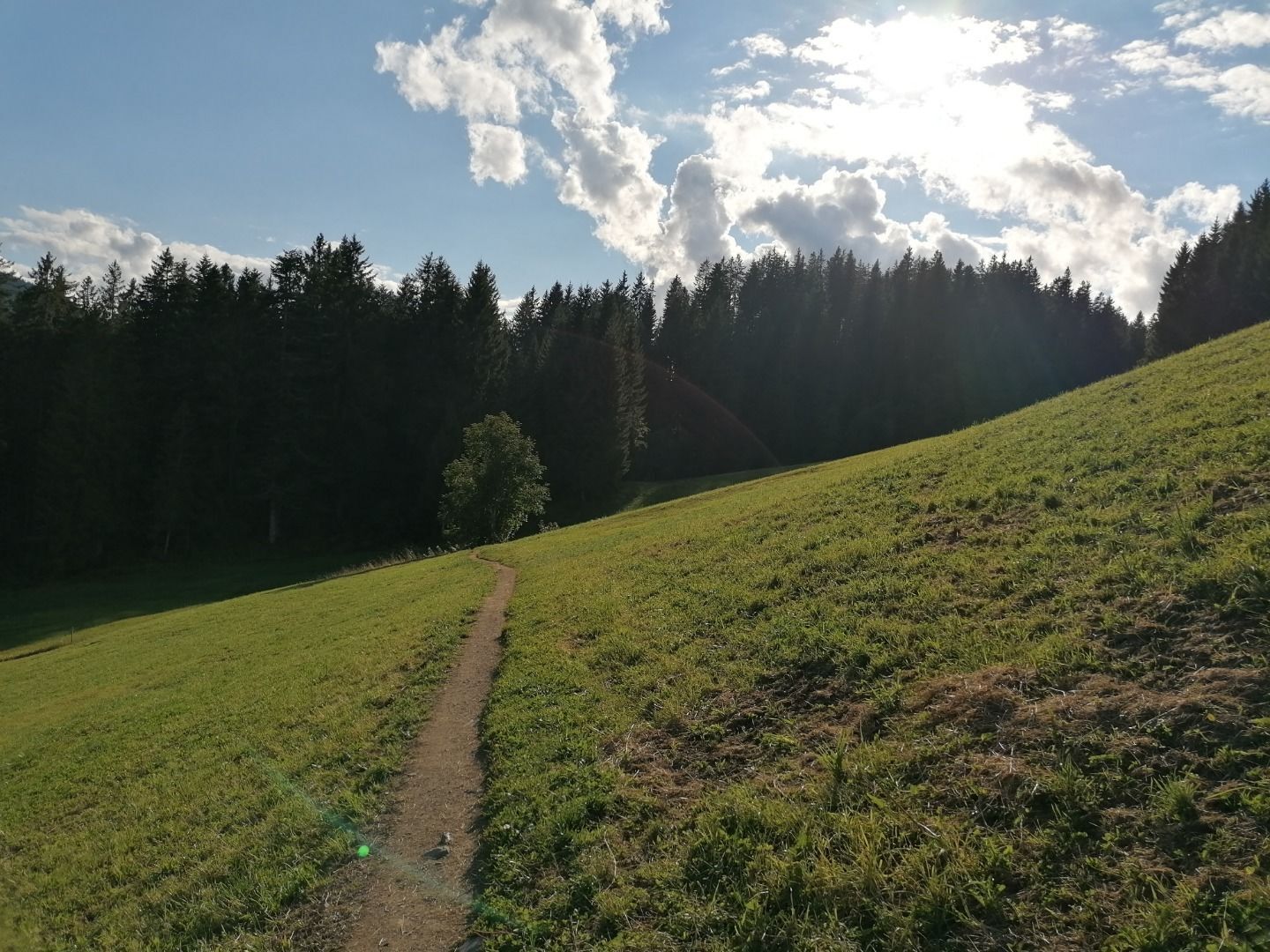
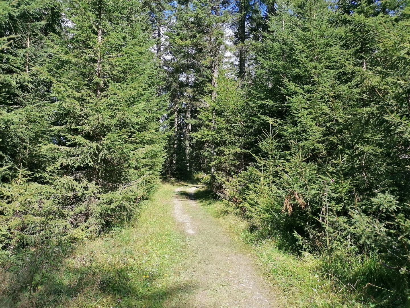
This tour starts with the comfortable ascent of the Astbergbahn. At the top you hike left past the Pony Alm over meadows and through forests. Via the village of Kathen you walk along a gravel road until you reach the asphalted "Lierstätt Kreuzung". At this crossroads you continue walking on the right past the Lierstätt farm in the direction of the Brenner Alm. The Brenner Alm is an excellent place to stop for a break - with a fantastic view of the Wilder Kaiser. From now on you can decide whether you want to take the easier path via the forest road back to the mountain station Astbergbahn, or via the Schwaiglerkogel.
- Highest point
- 1,295 m
- Endpoint
-
Astberg Bergstation
- Height profile
-

- Equipment
-
Rucksack, sturdy hiking/mountaineering boots with anti-slip treaded soles, weather-appropriate hiking gear (breathable, sun protection (sunglasses, sun cream, lip protection, headgear), waterproofs (rain jacket/poncho, pocket umbrella, rucksack protector), cold protection (hat, gloves), sufficient food and drink, hiking poles (height adjustable), mobile phone with fully charged battery, plastic bag for waste, ID, insurance card, cash
- Directions
-
Heading from Wörgl or Kufstein on the B178 road, take the first exit on the right after Ellmau – this leads to the Astbergbahn chairlift. Turn left at the end of this road. You will reach the Astbergbahn chairlift after approx. 300 m.
Heading from St. Johann on the B178 road, take the first exit on the left after Going (Hotel Blattlhof) – this leads to the Astbergbahn chairlift. Turn left again at the end of this road. You will reach the Astbergbahn chairlift after approx. 300 m. - Public transportation
-
KaiserJet stop “Going Astbergbahn”. More information at: www.wilderkaiser.info
- Parking
-
Car park Astbergbahn chairlift valley station, Going (805 m) – free
- Author
-
The tour Schwaiglerkogel circular hiking route is used by outdooractive.com provided.
GPS Downloads


Other tours in the regions
-
Wilder Kaiser
1951
-
Going
627


