


- Brief description
-
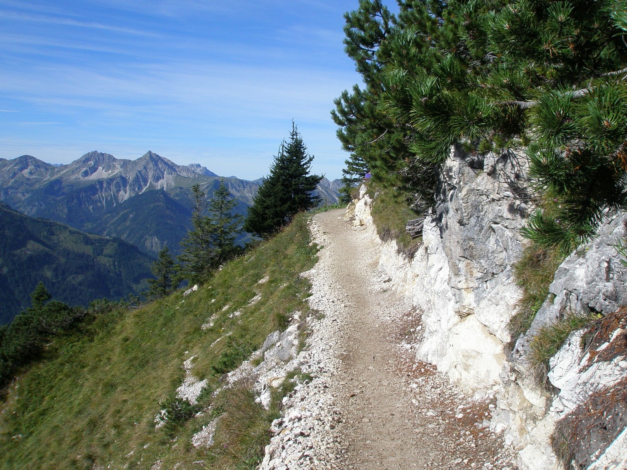
A hike that offers everything...
- Difficulty
-
medium
- Rating
-
- Starting point
-
Parking in Grän/Enge
- Route
-
Wasserscheide Vils/Steinacher Achen (1145m)0.0 kmEnge0.2 kmBad Kissinger Hütte3.8 kmBayern-Tirol Sattel4.3 kmAggenstein (1,985 m)4.4 kmGeißstein4.9 kmBad Kissinger Hütte (1,780 m)5.1 kmSebenalpe (1,640 m)7.2 kmGamskopf (1,890 m)8.9 kmJochalpe8.9 kmSonnenalm9.3 kmFüssener Jöchle9.3 kmSt. Nepomuk-Kapelle13.9 kmLumberg14.4 kmBergblick14.6 kmEnge15.1 kmWasserscheide Vils/Steinacher Achen (1145m)15.2 km
- Best season
-
JanFebMarAprMayJunJulAugSepOctNovDec
- Description
-
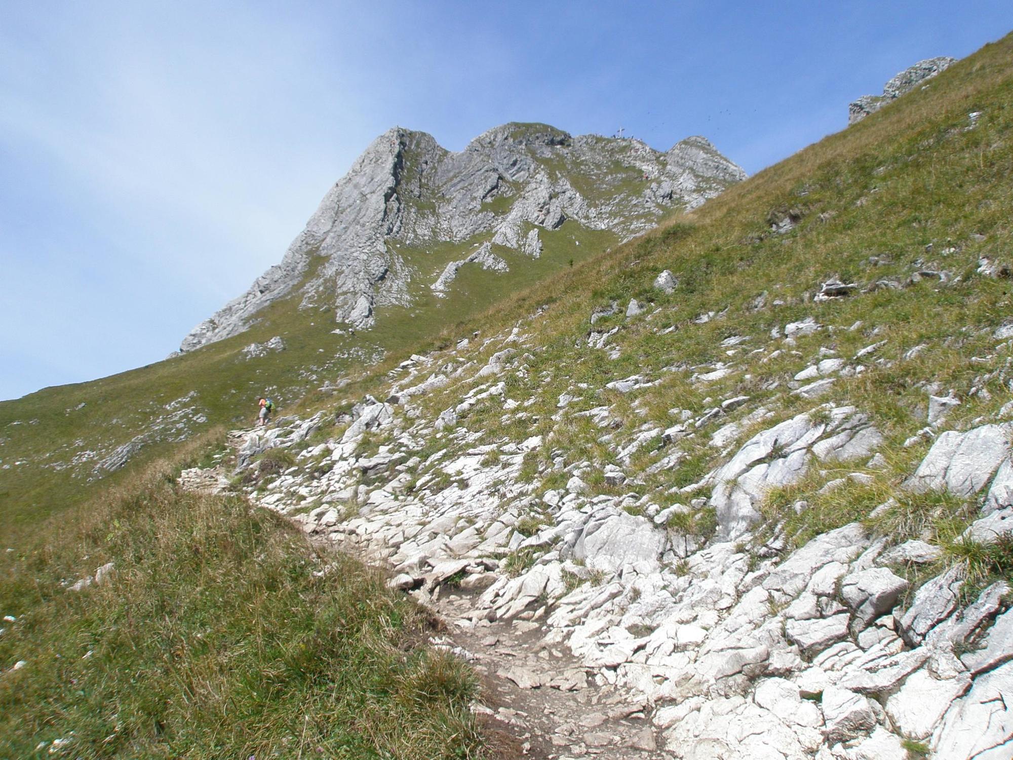
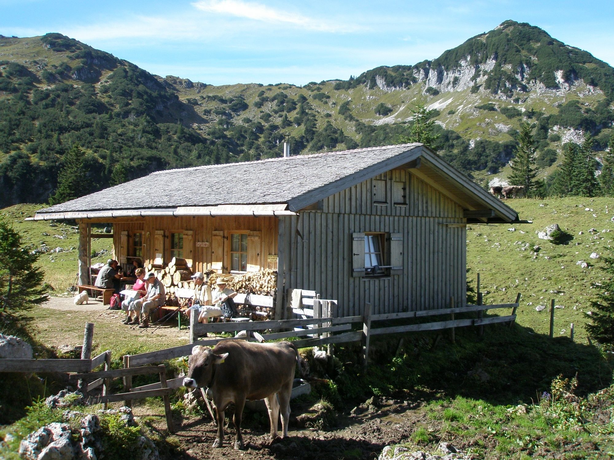
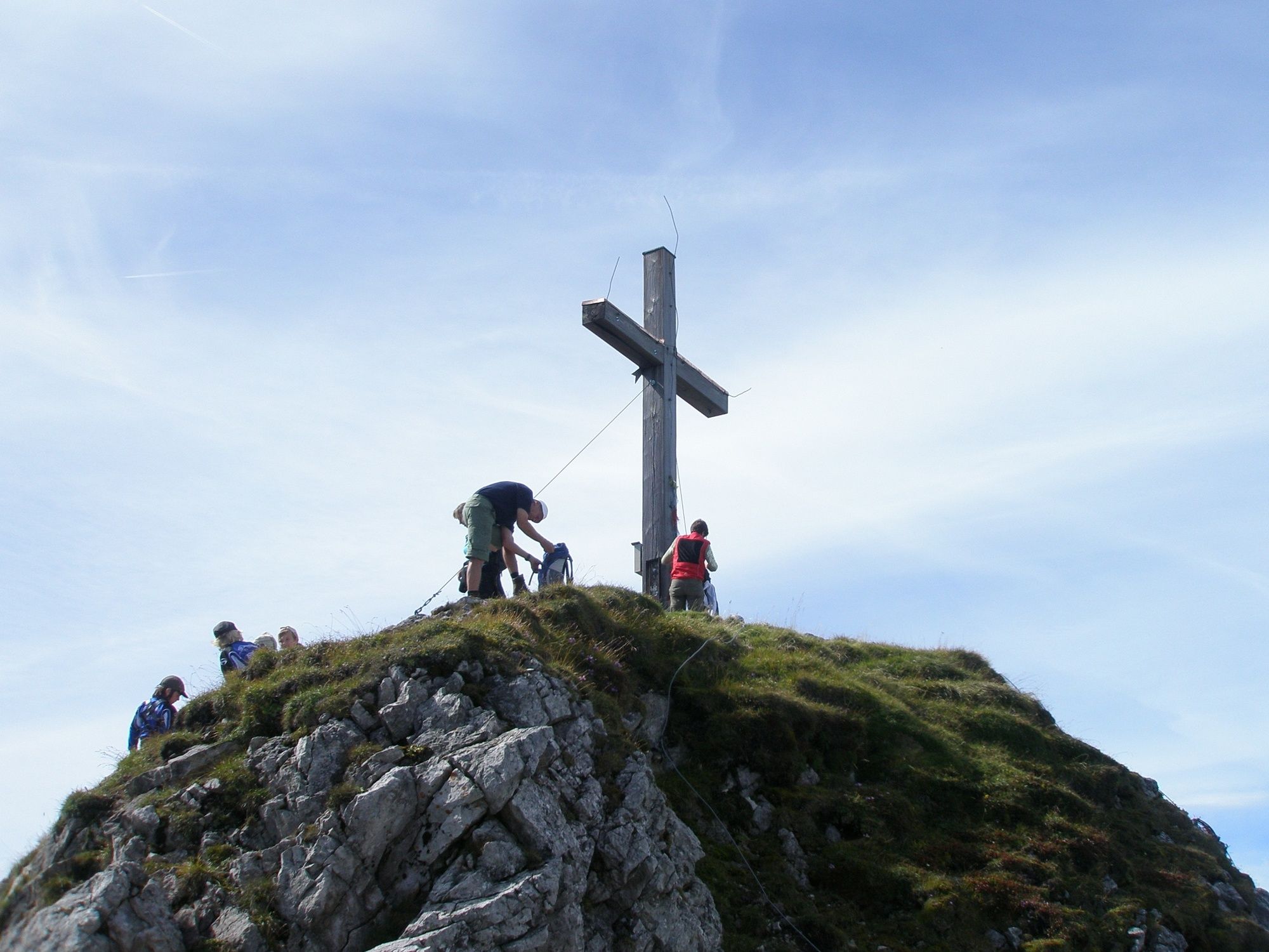
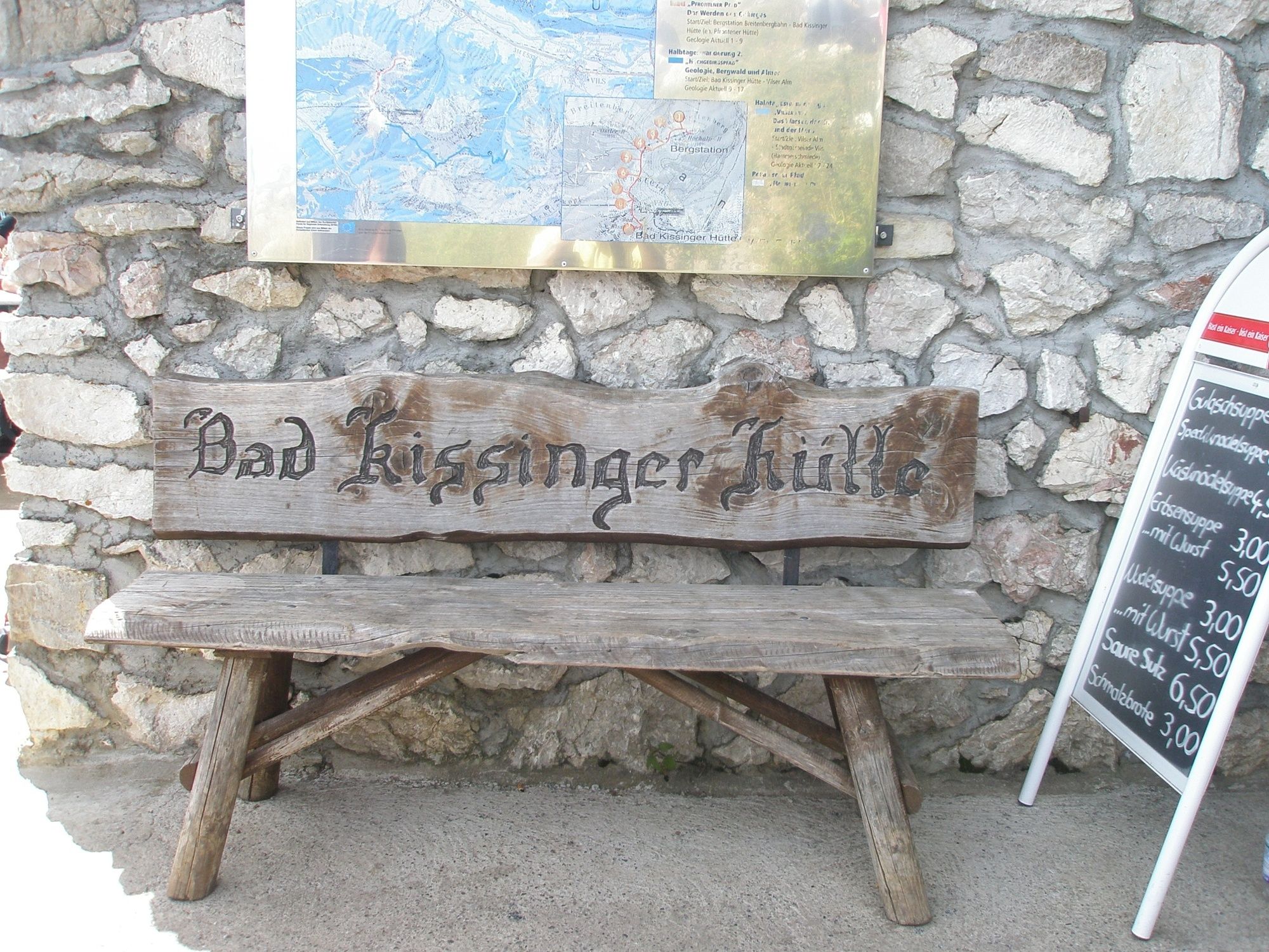
Starting from the Grän-Enge car park, continue to the Bad Kissinger Hut (overnight accommodation available) and on to the Aggenstein. Attention!!! Partially secured by ropes, therefore surefootedness and a head for heights are required, especially in wet weather.
- Directions
-
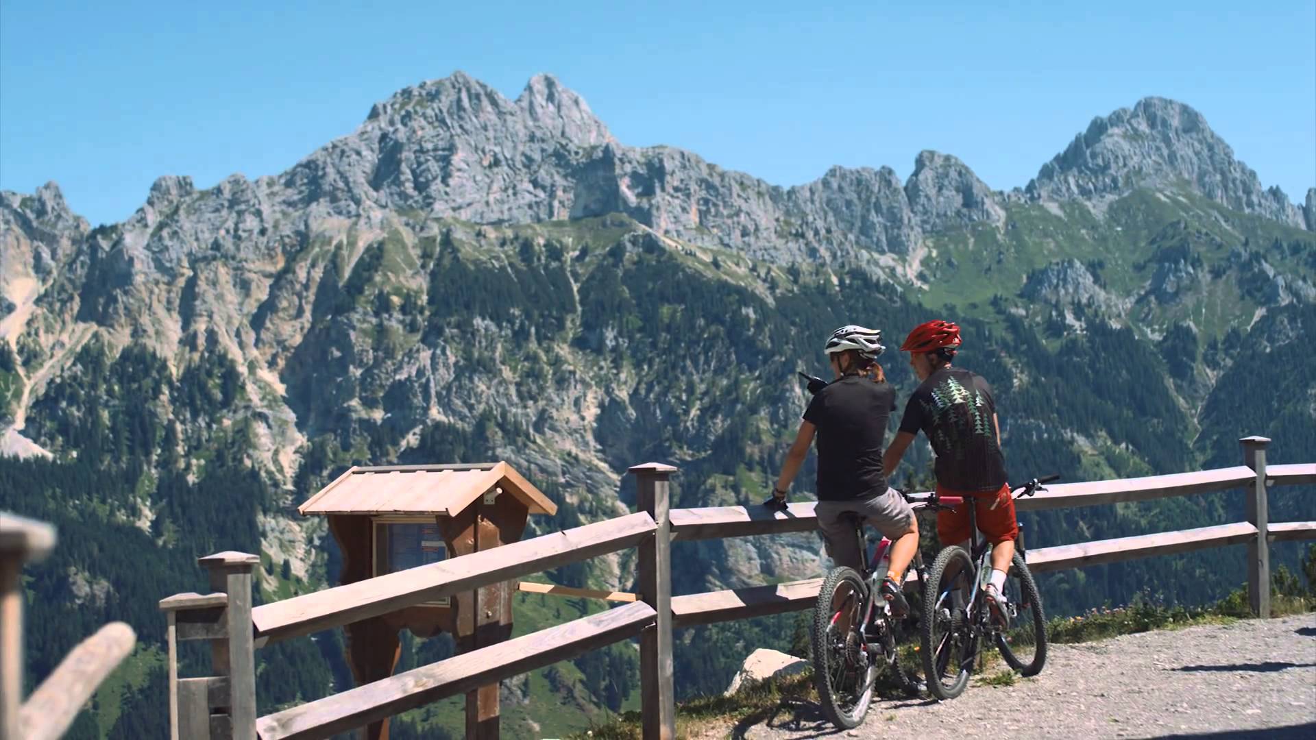
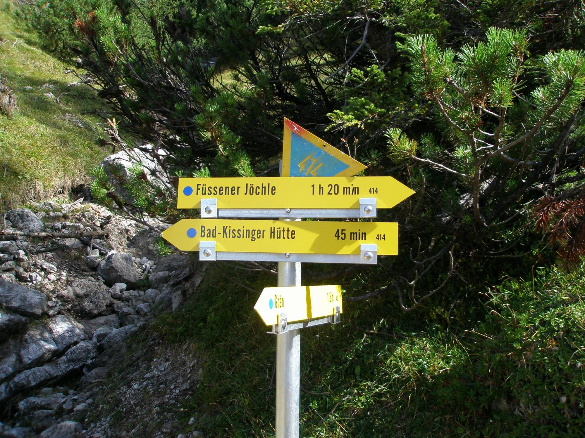
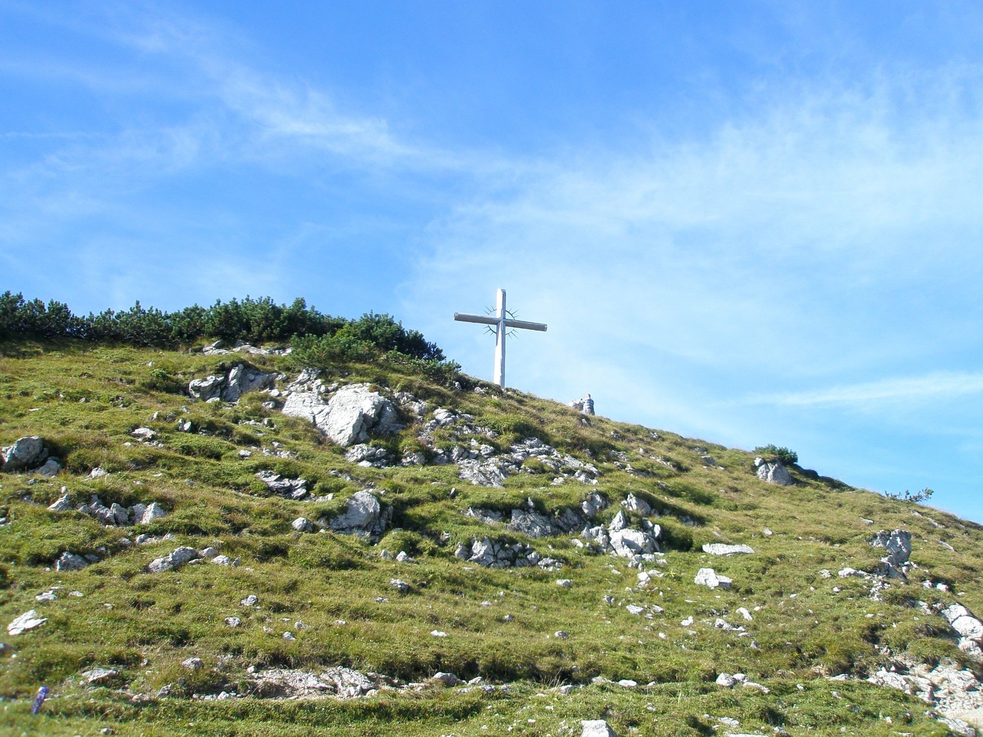
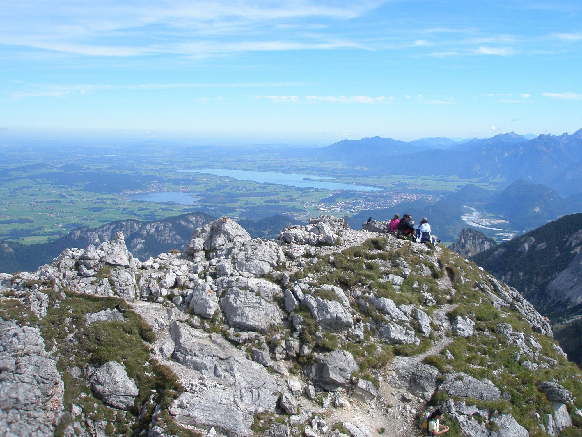
From the parking lot straight on to the houses. First turn right and then immediately left. Through the barrier to the cattle pasture and continue following the markings to the Bad Kissinger Hütte. Partly a bit steeper, but nice ascent on different ground. It is not long from the hut to the summit, but you should not underestimate the climb. Wonderful view from the Aggenstein in all directions. The descent to the Bad Kissinger Hütte follows the same path, further downhill to the Sebenalm, which lies in a beautiful basin. On the opposite side of the basin, the trail climbs up again to the Lumberger Ridge. Here you can see chamois and marmots, sometimes even eagles. The further descent to the mountain station Füssener Jöchle with the Sonnenalm leads past the Gamskopf with the panoramic view informator. From now on it is only downhill to Grän. Shortly before the bridge over the Logbach, the path turns right towards Lumberg. Follow this path to the main road, then turn right and right again and so "Am Lumberg" back to the starting point. The descent from the Sonnenalm to Grän can alternatively be taken by mountain railway.
- Highest point
- 1,966 m
- Endpoint
-
Parking in Grän/Enge
- Height profile
-

- Equipment
-
The personal mountaineering equipment must be safe and serviceable and meet the relevant technical standards. Every hiker is recommended to obtain information about the planned tours from specialist alpine literature or on site.
- Safety instructions
-
It should be noted that in mountaineering there is an increased risk of accidents and injuries. Despite careful route planning, a basic risk always remains. Tour preparation through endurance sports, appropriate technical training and further education as well as personal prudence reduces the danger of accidents and risks. However, please never forget that the weather in the mountains can change very quickly. Stay on the marked hiking trails.
- Tips
-
Nice tour with some great views and several stops.
- Directions
-
On the motorway A7 at the exit "Oy-Mittelberg" on the B310 towards Wertach and to Oberjoch. There follow the signposting "Tannheimer Tal" B199, exit Grän, car park in the district Enge.From the Tyrolean side via Reutte on the B198 towards Lechtal to Weißenbach, over the Gaichtpass along the B199 to the exit Grän, car park in the district Enge.
- Public transportation
-
By train to Sonthofen, Pfronten/Ried or Reutte, then by bus to Grän.
- Parking
-
Parking in the district Enge in Grän

- Author
-
The tour Aggenstein variant 2 is used by outdooractive.com provided.


General info
-
Allgäu
2365
-
Tannheimer Tal
1454
-
Grän-Haldensee - Füssener Jöchle
575


