© Unbekannt

© Unbekannt

- Brief description
-
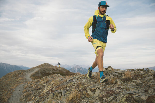
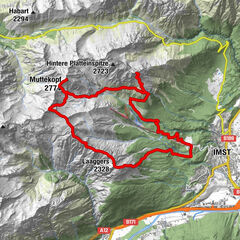
Einfacher und kurzer Trailrun rund um die AREA47
- Difficulty
-
easy
- Rating
-
- Route
-
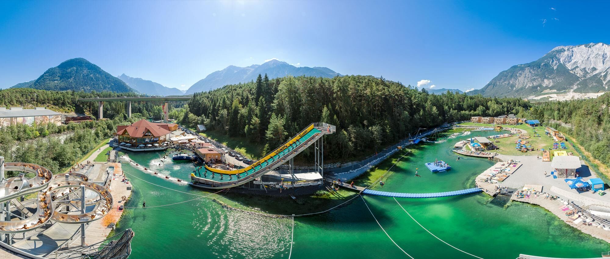
Lakeside Restaurant0.1 km
- Best season
-
JanFebMarAprMayJunJulAugSepOctNovDec
- Highest point
- 734 m
- Endpoint
-
Parkplatz bei der AREA47
- Height profile
-

- Author
-
The tour AREA47 Trailrun is used by outdooractive.com provided.
GPS Downloads


General info
Refreshment stop
Other tours in the regions
-
Outdoorregion Imst
37
-
Roppen
13