- Brief description
-
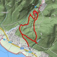
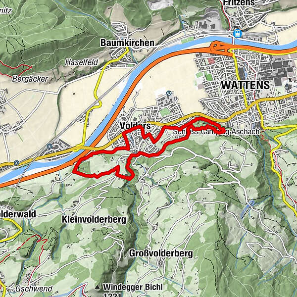
No other region in the Tyrol's Inn Valley can boast so many places of cultural interest as the area between Volders and Wattens. To allow visitors to the region to explore these places on foot, a circular walk, approx. 10km in length, has been created
- Difficulty
-
easy
- Rating
-
- Route
-
Karlskirche0.1 kmBuggl3.7 kmWattens (564 m)4.5 kmPizzeria Del Sole5.5 kmPfarrkirche hl. Johannes dem Täufer6.3 kmCafe Bräu6.4 kmVolders (558 m)6.4 km
- Best season
-
JanFebMarAprMayJunJulAugSepOctNovDec
- Description
-
A hike for everyone who wants to combine exercise with culture.
- Directions
-
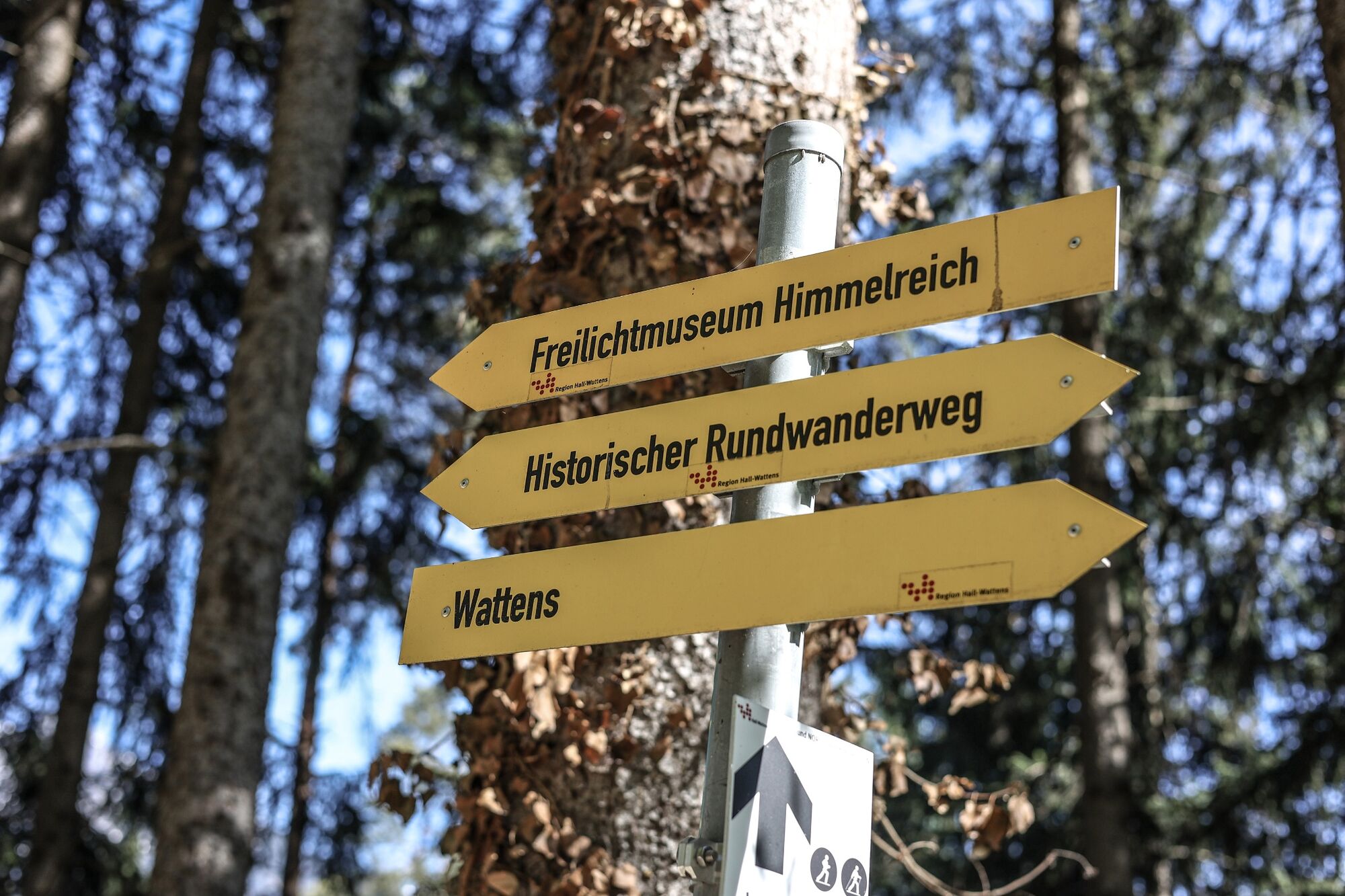
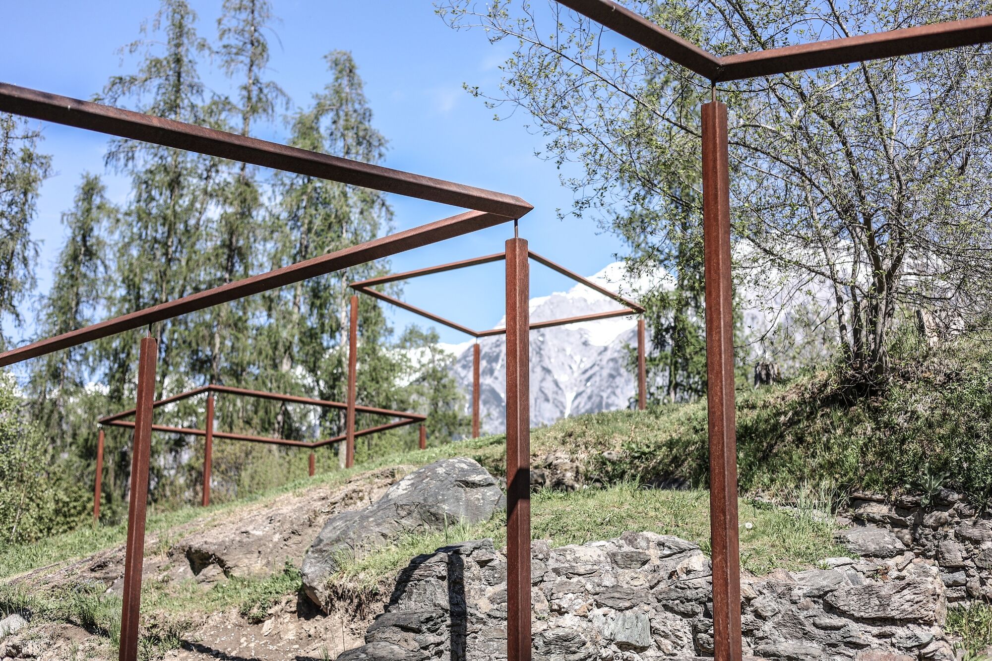
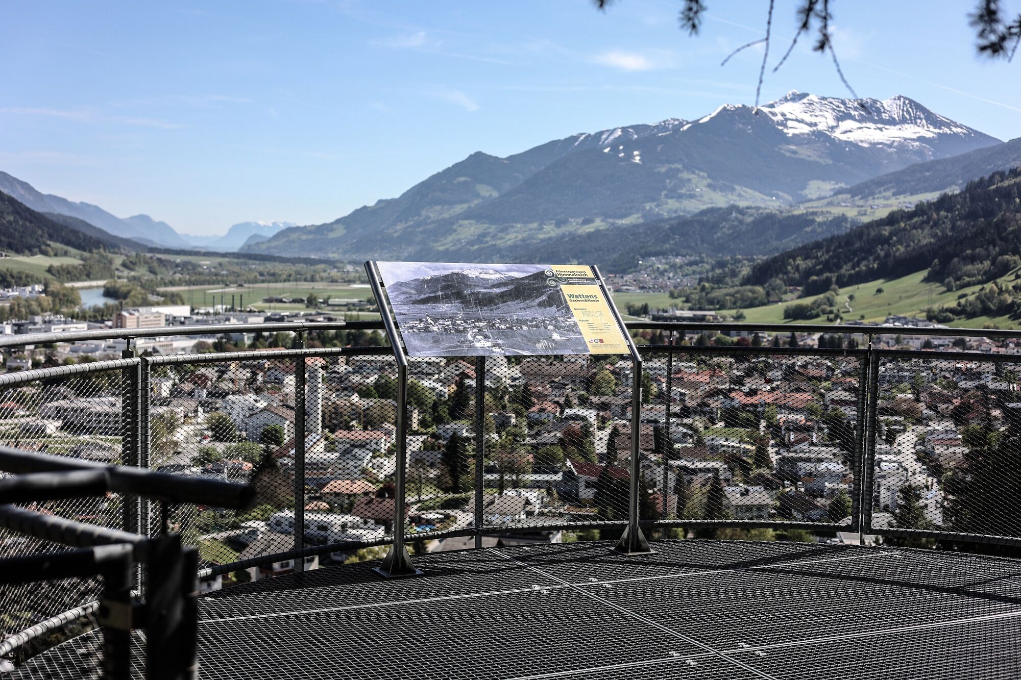
Starting at the western end of Wattens, the path initially follows the fitness track. About 30 minutes further on, situated on a knoll and recreated as an open-air museum, is the Himmelreich Rhaetian Settlement. On this ancient site once surrounded by a defensive embankment, the foundations of eight buildings can be seen. These were once probably part of a farmstead inhabited by a Rhaetian nobleman. The village was inhabited from the 4th to 1st century BC, but was destroyed by fire. Artefacts discovered here, such as pieces of pottery and iron tools, can be seen in the Wattens Museum of Prehistory.
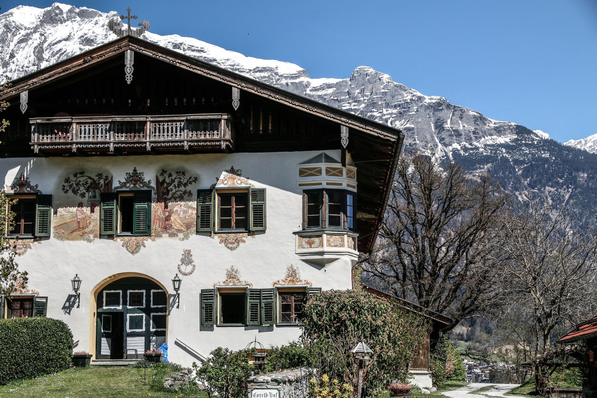
Head gently downhill and after Volders you will arrive at Schloss Aschach. First mentioned in records in 1334, in 1413 it was burnt to the ground after a siege, but then rebuilt in 1575 in its present form. It is privately owned and not open to the public.
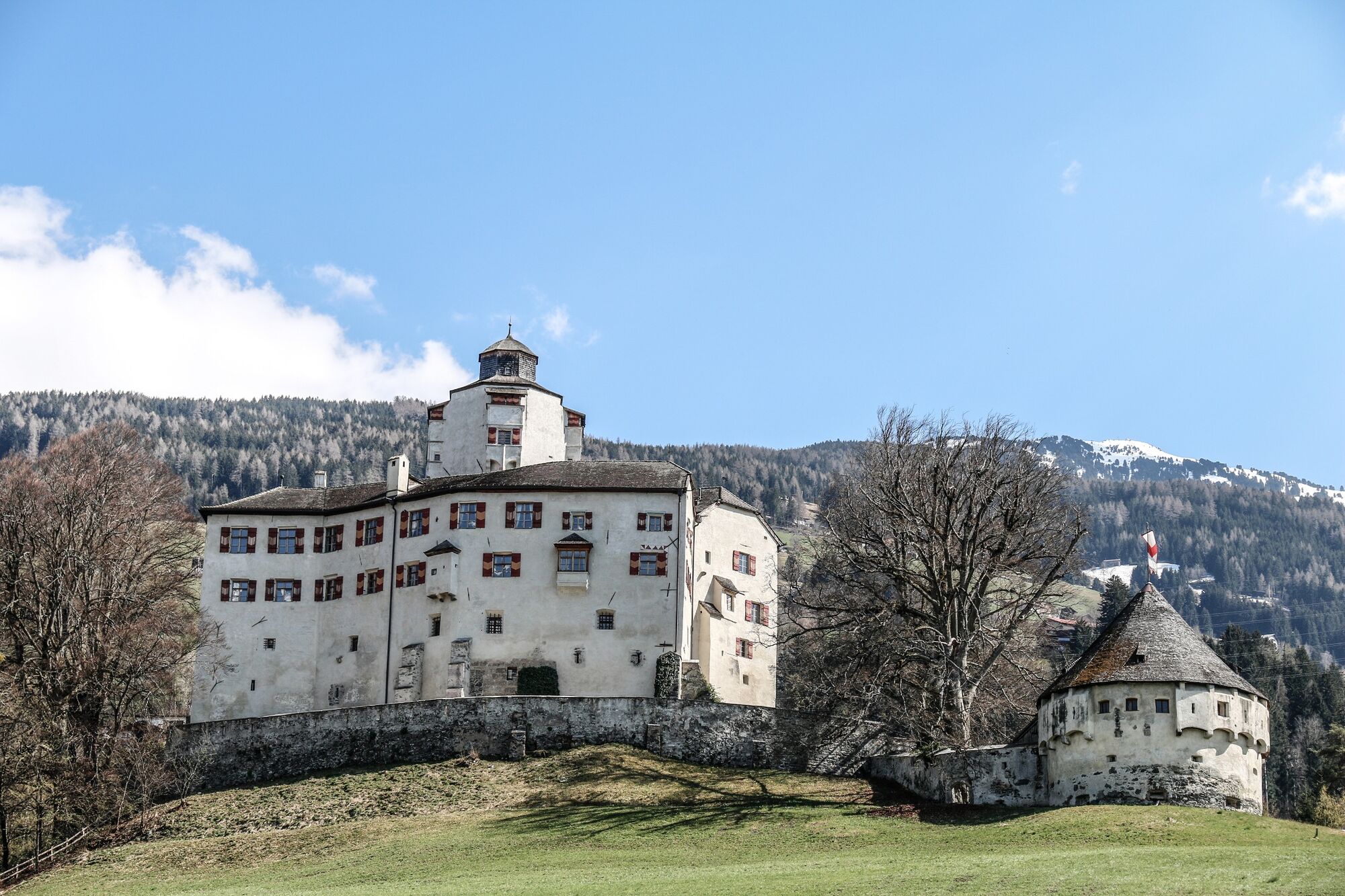
Following the signs, you will come to the Rafflersteig, a path which branches off the Kleinvolderbergstrasse and runs beside a pretty gorge up to Schloss Friedberg. First mentioned in records in 1000 and originally owned by the Andechs dynasty, it became the property of the Herren von Fieger in 1491. They gave the castle its still very distinctive, late-Gothic appearance. In the mid-19th century Schloss Friedberg passed into the hands of the Trapp family. The extensive renovation work, which they undertook, gives the castle its present appearance. It can be viewed as part of a guided tour during the summer months.
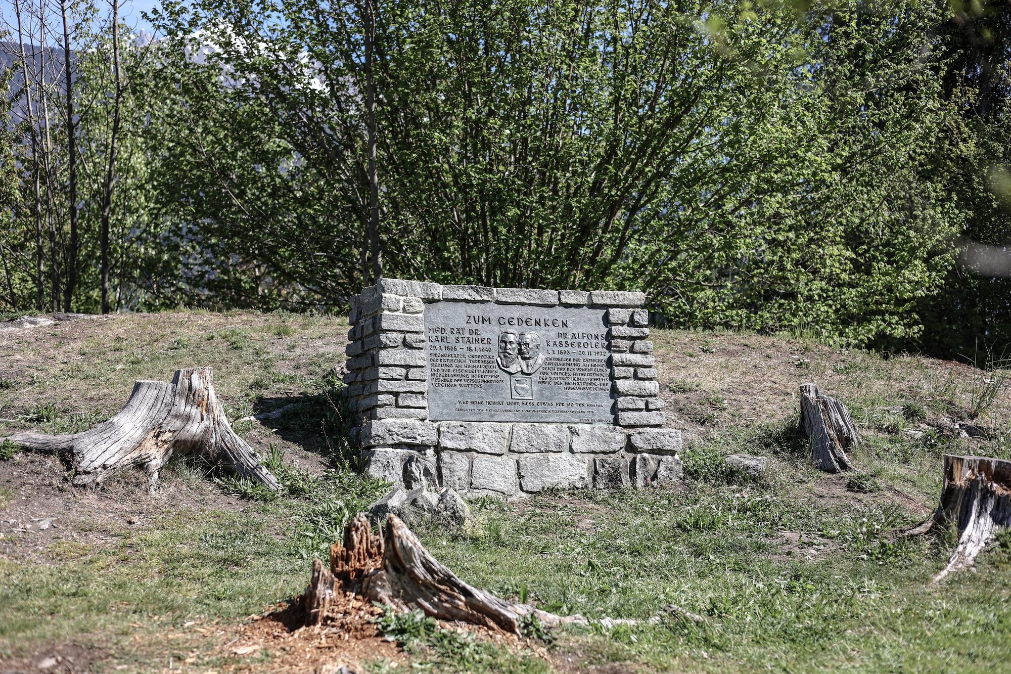
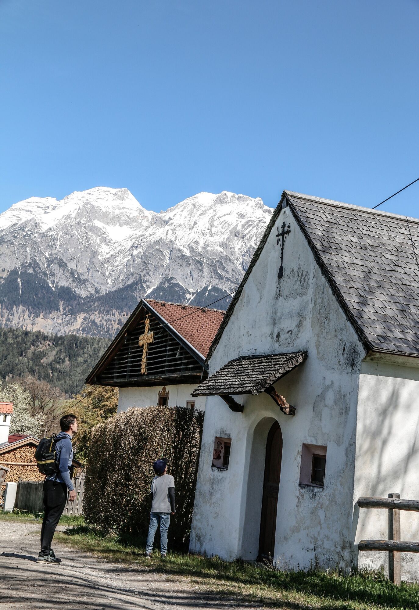
The walk carries on to what is known as the Tummelplatz. Soldiers who died of their injuries during the wars of liberation against the French in 1797, 1799 and 1809 are buried here. Many of them were tended in a military hospital set up in the Servite monastery. Near these memorials are a number of symbolic graves remembering the fallen of the First and Second World Wars. The chapel was consecrated in 1892.
Passing the nearby sports pitch, the circular walk runs down to the Servite monastery. Its foundation stone was laid in 1631 by the benefactor and doctor, Hyppolitus Guarinoni. But because of a shortage of funds, building work stopped until 1692. Two years later the premises were temporarily handed over to the Servite Order. The building now houses a sixth form college. The monastery is connected to the Karlskirche (or St Charles' Church) by a viaduct. It was built between 1620 and 1645 to plans drawn up by Dr Hyppolitus Guarinoni. In 1766/67 the interior was redesigned. The ceiling fresco and the altarpiece date from this time. Both were the work of the famous Baroque painter, Martin Knoller. The church was fully renovated between 1977-1988 and at a cost of ca. €2.5m. It is now one of the finest churches to be seen immediately beside a motorway. As well as public bodies, several private benefactors from the German-speaking world contributed to the cost of the renovation.
Leave the Karlskirche and follow signposts to Wattens. You will go close to the "Volderer Urnenfeld" (urnfield) and through Volderer Oberdorf (the upper village).This walk starts and finishes at the Marienkirche in Wattens. The route is open from April to October (although weather-imposed closures may occur).
- Highest point
- 660 m
- Endpoint
-
Marienkirche/Wattens
- Height profile
-

- Public transportation
- Parking
-
There are parking facilities directly at the starting point


- Author
-
The tour Historical circular walk is used by outdooractive.com provided.


General info
-
Ferienregion Hall - Wattens
1479
-
Volders
321