


- Brief description
-
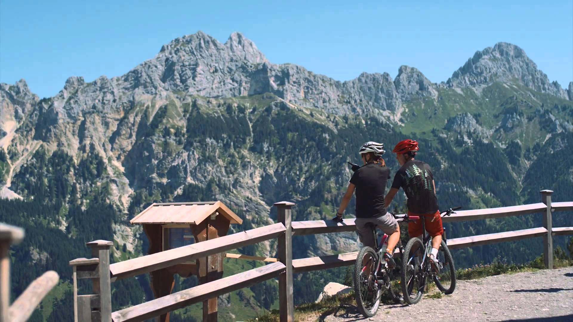
The smugglers' trail from Wannenjoch to Iseler - great fun for the whole family!
- Difficulty
-
medium
- Rating
-
- Starting point
-
Wannenjochbahn valley station in Schattwald
- Route
-
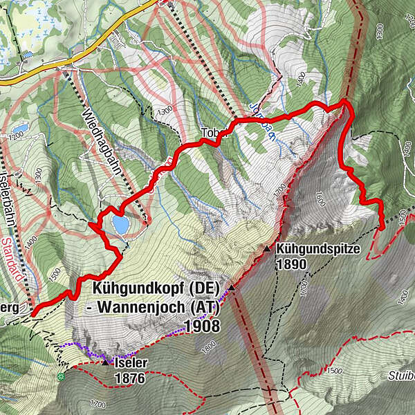
Jochstadl0.0 kmGrenzwiesbahn Bergstation1.8 kmTobel2.0 kmVordere Wiedhag-Alpe2.8 km
- Best season
-
JanFebMarAprMayJunJulAugSepOctNovDec
- Description
-
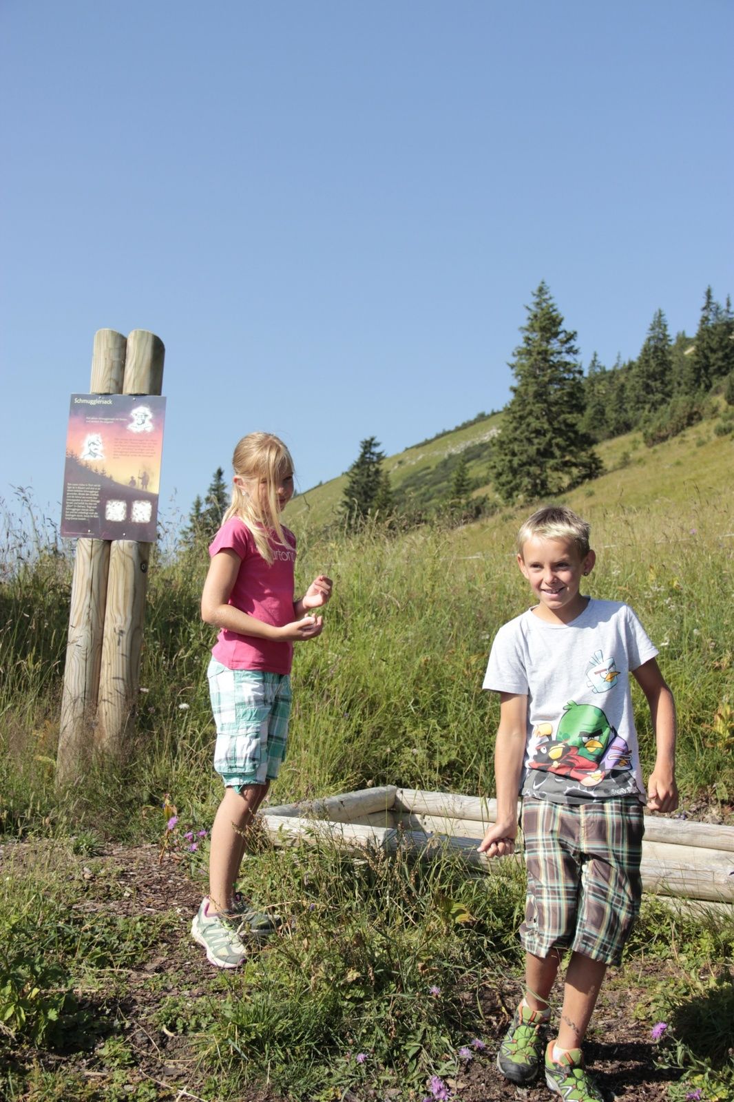
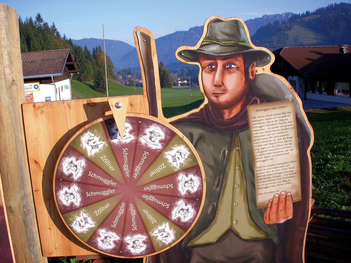
The hiking trail called "Schmugglersteig" from Wannenjoch to the Iseler. This path was a popular smuggler's path because of its proximity to the border, and you can still feel all kinds of smugglers' footsteps today. A unique adventure for young and old. Already at the valley station you will be welcomed by the so-called "black man" and you decide which role you want to take on: that of smuggler or that of border guard. Once you arrive at the top station, you will receive the smuggler's or border guard's paraphernalia and be initiated into the respective task. You now walk through the smuggler's path and as a smuggler you are supposed to transport the smuggled goods from Tyrol to Bavaria and as a border guard you are supposed to track down as many smugglers as possible. Once you have completed the task, all hikers, whether smugglers or border guards, receive the "Smuggler Pass".And if it doesn't work out immediately at the beginning, there is the possibility to come back again!Start at the Wannenjochbahn valley station in Schattwald (Tyrol) or at the Iselerbahn valley station in Oberjoch (Allgäu). The hiking bus between Oberjoch and Schattwald runs every hour.
- Directions
-
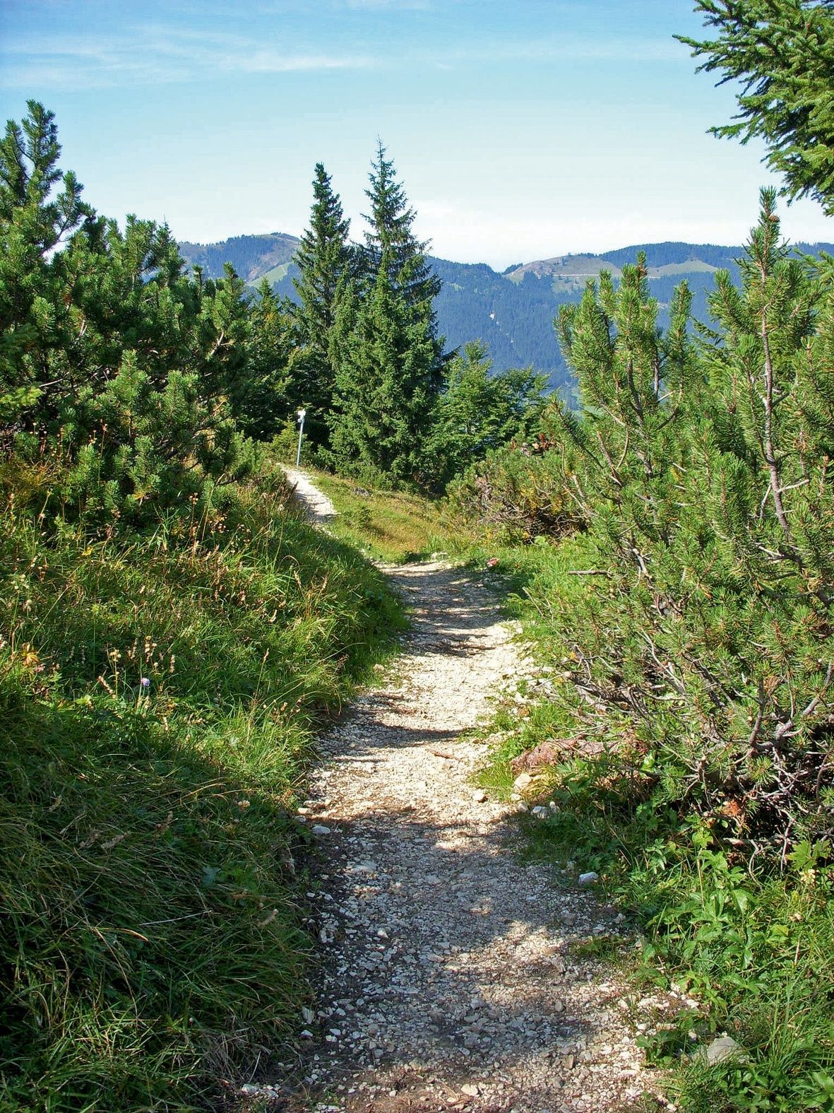
Accordingly hidden and wildly romantic, the route is still today - to be completed. After the successful ascent with the Wannenjochbahn cable car from Schattwald, the trail starts directly at the mountain station. It leads in an airy ridge walk across the Tyrolean border to the top station of the Iseler cable car. Many an exciting "Allgäu border experience" surprises you on the way.
After the descent to nearby Oberjoch you can take the hiking bus back to the Tannheimer Tal.
- Highest point
- 1,557 m
- Endpoint
-
Top station Iselerbahn in Oberjoch
- Height profile
-

- Equipment
-
TourismPersonal mountaineering equipment must be safe and serviceable and must meet the relevant technical standards. Every hiker is recommended to obtain information about the planned tours from alpine technical literature or on site.usverband Tannheimer TalTannheimer BergbahnenBergbahnen in Oberjoch
- Safety instructions
-
The path is partly gravelled and partly grazed with grass. With healthy personal responsibility this theme trail is certainly a great experience for the whole family.
It should be noted that in mountain sports there is an increased risk of accidents and injuries. Despite careful tour planning, a basic risk always remains. Tour preparation through endurance sports, appropriate technical training and further education as well as personal prudence reduces the danger of accidents and risks. But please never forget that the weather in the mountains can change very quickly. Stay on the marked hiking trails.
- Additional information
-
Tourismusverband Tannheimer TalTannheimer BergbahnenBergbahnen in Oberjoch
- Directions
-
On the motorway A7 at the exit "Oy-Mittelberg" on the B310 towards Wertach and to Oberjoch. There follow the signposting "Tannheimer Tal" B199, exit Schattwald, direction Wannenjoch Bergbahn.From the Tyrolean side via Reutte on the B198 towards Lechtal to Weißenbach, over the Gaichtpass along the B199 to the Schattwald exit, towards Wannenjoch Bergbahn.
- Public transportation
-
By train to Sonthofen, Pfronten/Ried or Reutte, then by bus to Schattwald
- Parking
-
At the valley station of the Wannenjochbahn in Schattwald - with costs


- Author
-
The tour Smuggler's Trail (Schmugglersteig) is used by outdooractive.com provided.


General info
-
Allgäu
2365
-
Tannheimer Tal
1454
-
Schattwald - Zöblen
501


