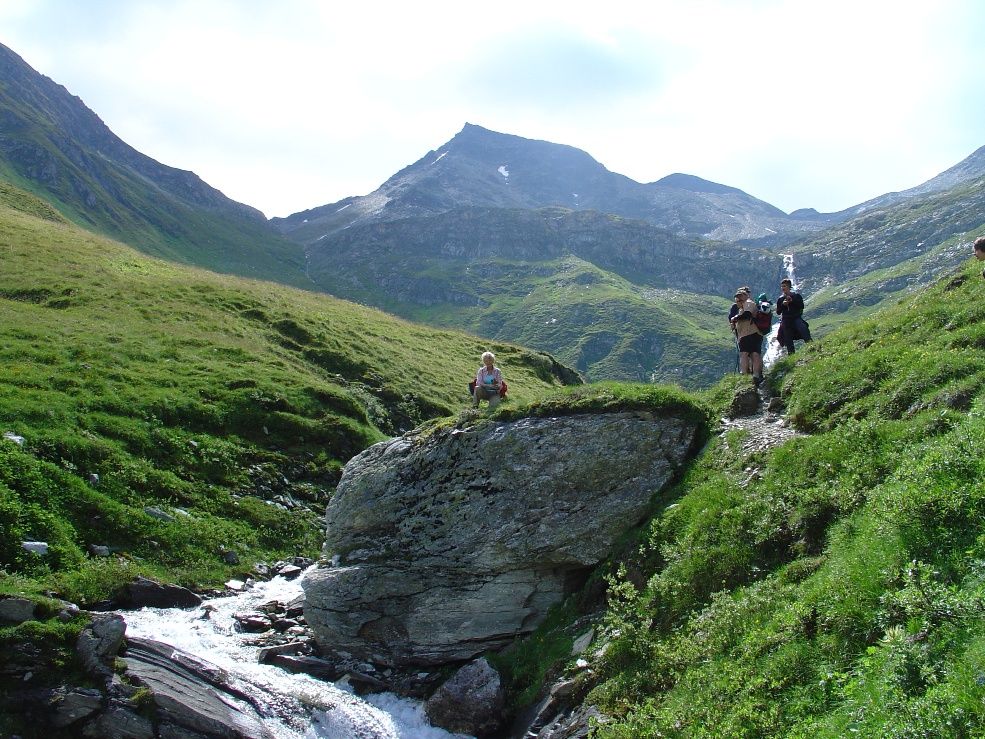
© Österreichs Wanderdörfer - Bernhard Pichler
Tour data
23.36km
1,389
- 2,897m
1,581hm
1,610hm
09:35h

Österreichs Wanderdörfer
- Difficulty
-
medium
- Rating
-
- Route
-
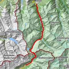
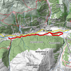
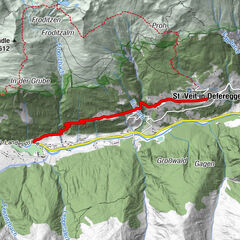
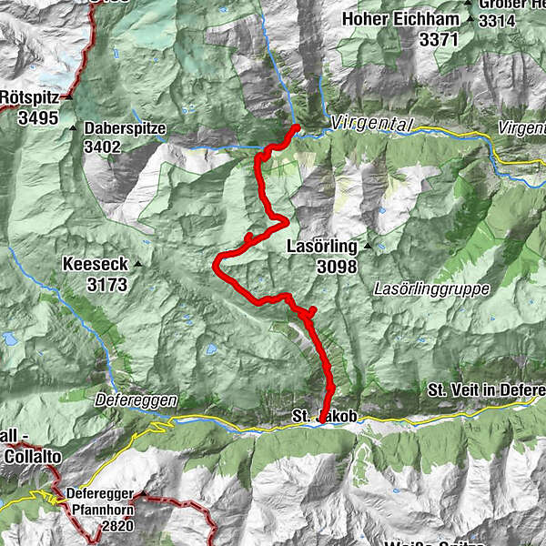
St. JakobTrojer Mühlen1.3 kmKnappenquelle6.2 kmSchaubergwerk Blindis6.4 kmNeue Reichenberger Hütte12.4 kmRote Lenke (2,794 m)13.9 kmGösleswand (2,912 m)14.3 kmGroßbachfall20.1 kmKleinbachfall20.6 kmIslitzeralm21.5 kmStröden (1,403 m)23.3 km
- Best season
-
JanFebMarAprMayJunJulAugSepOctNovDec
- Highest point
- 2,897 m
- Endpoint
-
Ströden (Prägraten)
- Height profile
-

-

-
AuthorÖsterreichs WanderdörferThe tour Knappentreck is used by outdooractive.com provided.
GPS Downloads


General info
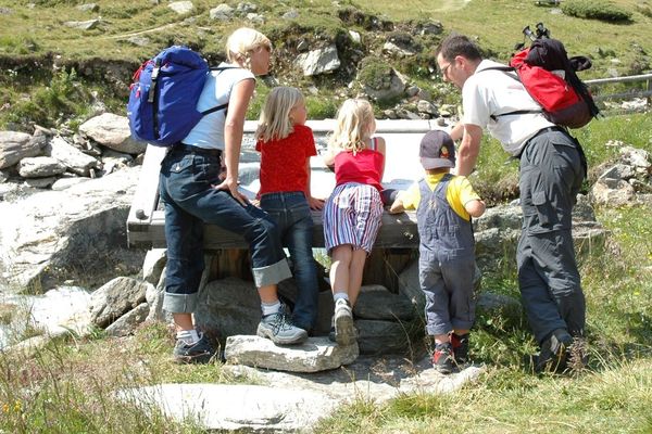
Refreshment stop
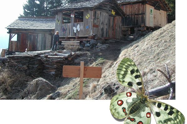
Cultural/Historical
A lot of view
Other tours in the regions