- Brief description
-
Hike along the traces of salt mining to the manor house.
- Difficulty
-
easy
- Rating
-
- Route
-
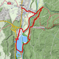
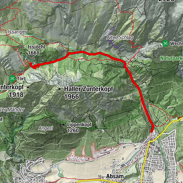
Bergerkapelle0.8 kmBettelwurfeck2.1 kmJakobibründlquelle2.2 kmSonnenbrücke2.7 kmErzherzogberg (1,424 m)4.7 kmRuppertikapelle5.2 kmHerrenhäuser (1,490 m)5.3 km
- Best season
-
JanFebMarAprMayJunJulAugSepOctNovDec
- Description
-
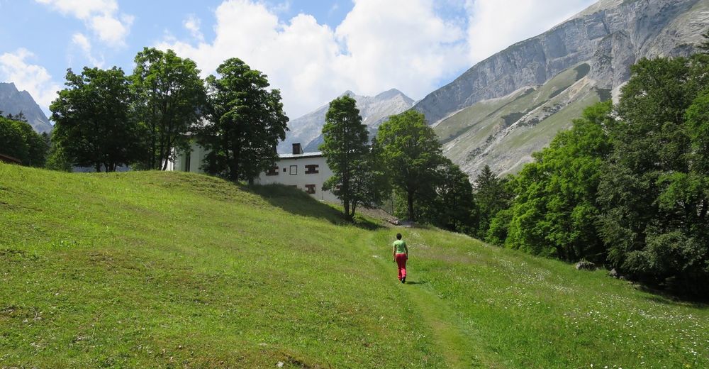
The natural scenery along the historic brine hiking trail is unique: rugged vertical limestone walls, fascinating vegetation, emerald green brooks ... and at the end a look into one of the eight main tunnels.
- Directions
-
Salt mining has left is mark in numerous parts of the Halltal valley, for salt was mined from tunnels for more than 700 years. Hike along the salt trail and follow the tracks of salt mining from Maximilian´s Fountain to the Herrenhaus, where you can venture into one of the main eight shafts which were cut into the mountain from 1272 to 1808.
- Highest point
- 1,490 m
- Endpoint
-
Halltal Parkplatz
- Height profile
-

- Safety instructions
-
Don´t hike during strong rains!
- Tips
-
An excursion for the whole family!
- Public transportation
-
Bus 502/503 to "Eichat Bettelwurfsiedlung"
- Parking
-
parking at the entrance of the Halltal

-

-
AuthorThe tour Historic Salt Trail is used by outdooractive.com provided.


General info
-
Ferienregion Hall - Wattens
1491
-
Absam
347