© Tourismusverband Region Hall-Wattens - Hall Wattens

© Tourismusverband Region Hall-Wattens - Hall Wattens

© Tourismusverband Region Hall-Wattens - Hall Wattens

© Tourismusverband Region Hall-Wattens - Hall Wattens

© Alpenverein Hall in Tirol - Gerald Aichner

© Outdooractive Redaktion - Gerald Aichner

© Tourismusverband Region Hall-Wattens - Hall Wattens

- Brief description
-
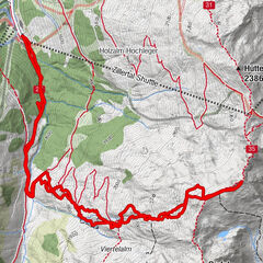
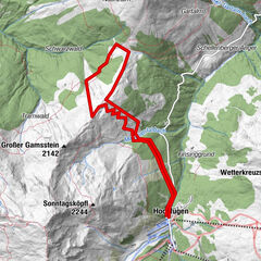
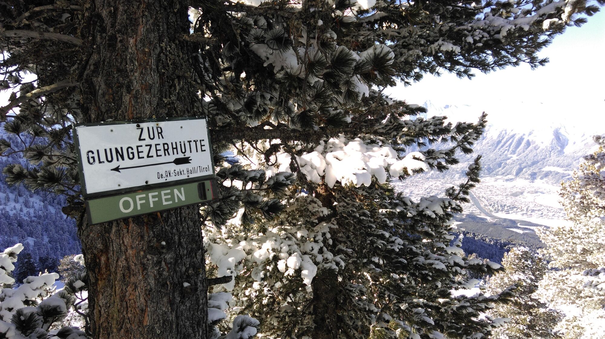
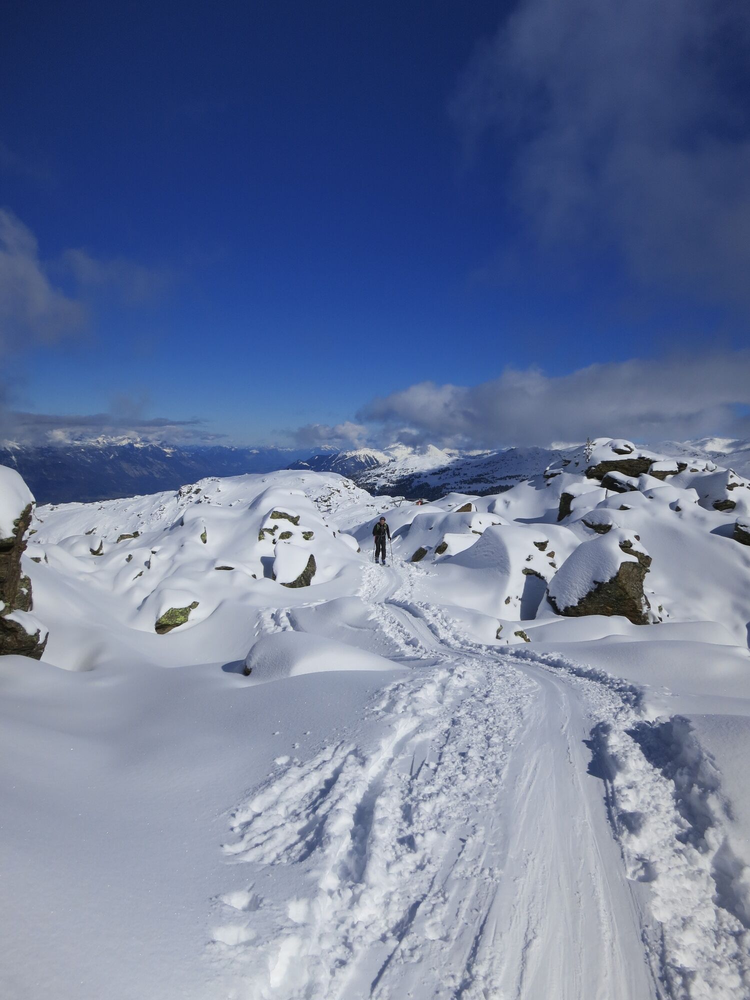
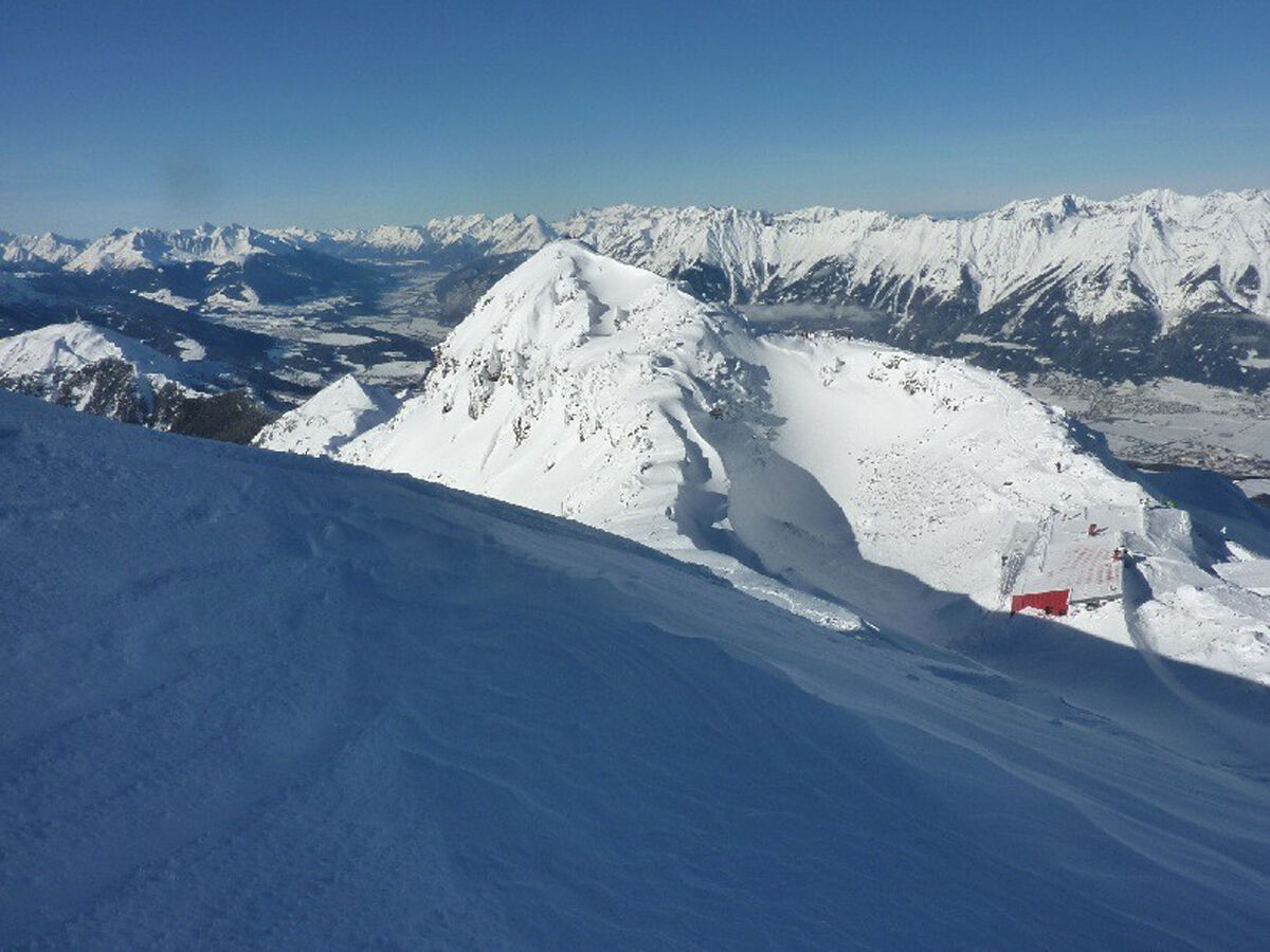
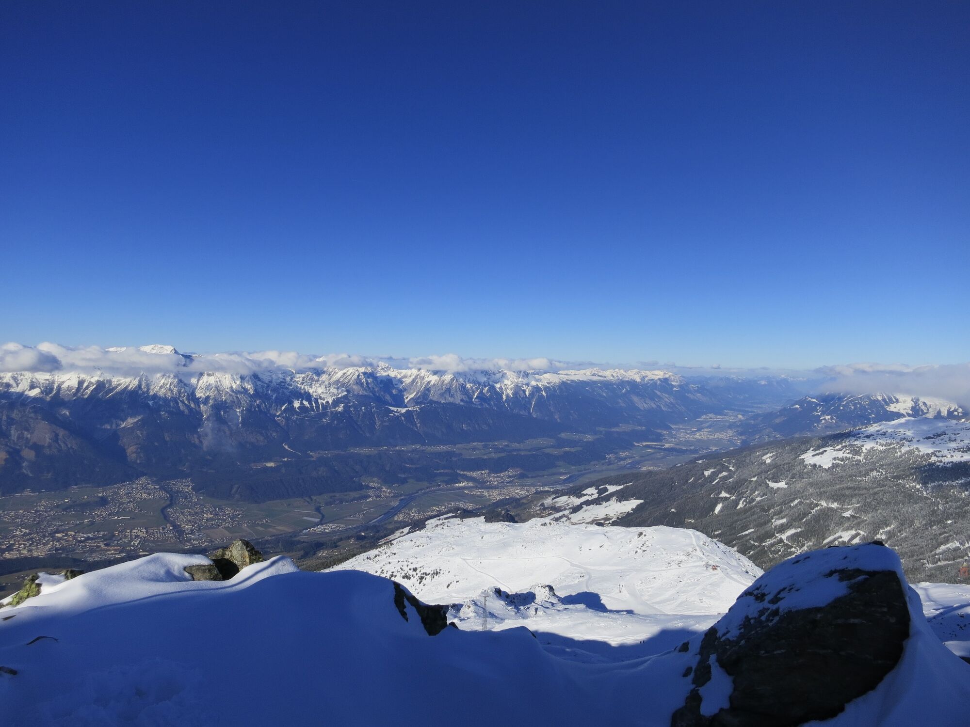
The multi-faceted Glungezer via the "norma track" from Tulfes
- Difficulty
-
medium
- Rating
-
- Route
-
Glungezerhütte2.4 kmGlungezer (2,677 m)2.6 km
- Best season
-
AugSepOctNovDecJanFebMarAprMayJunJul
- Description
-
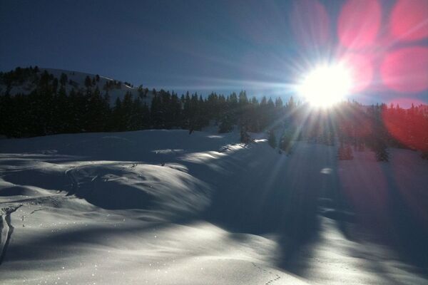
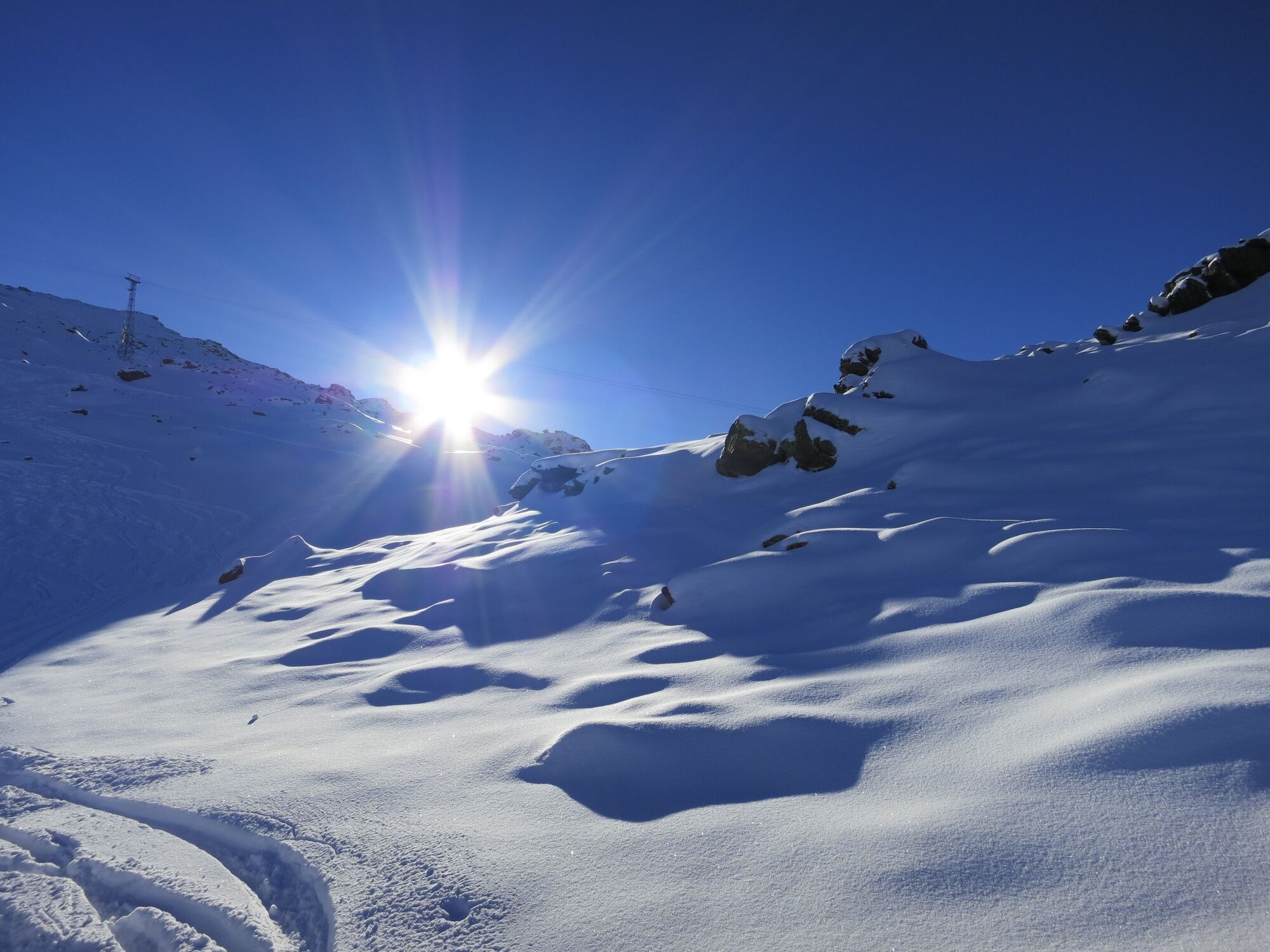
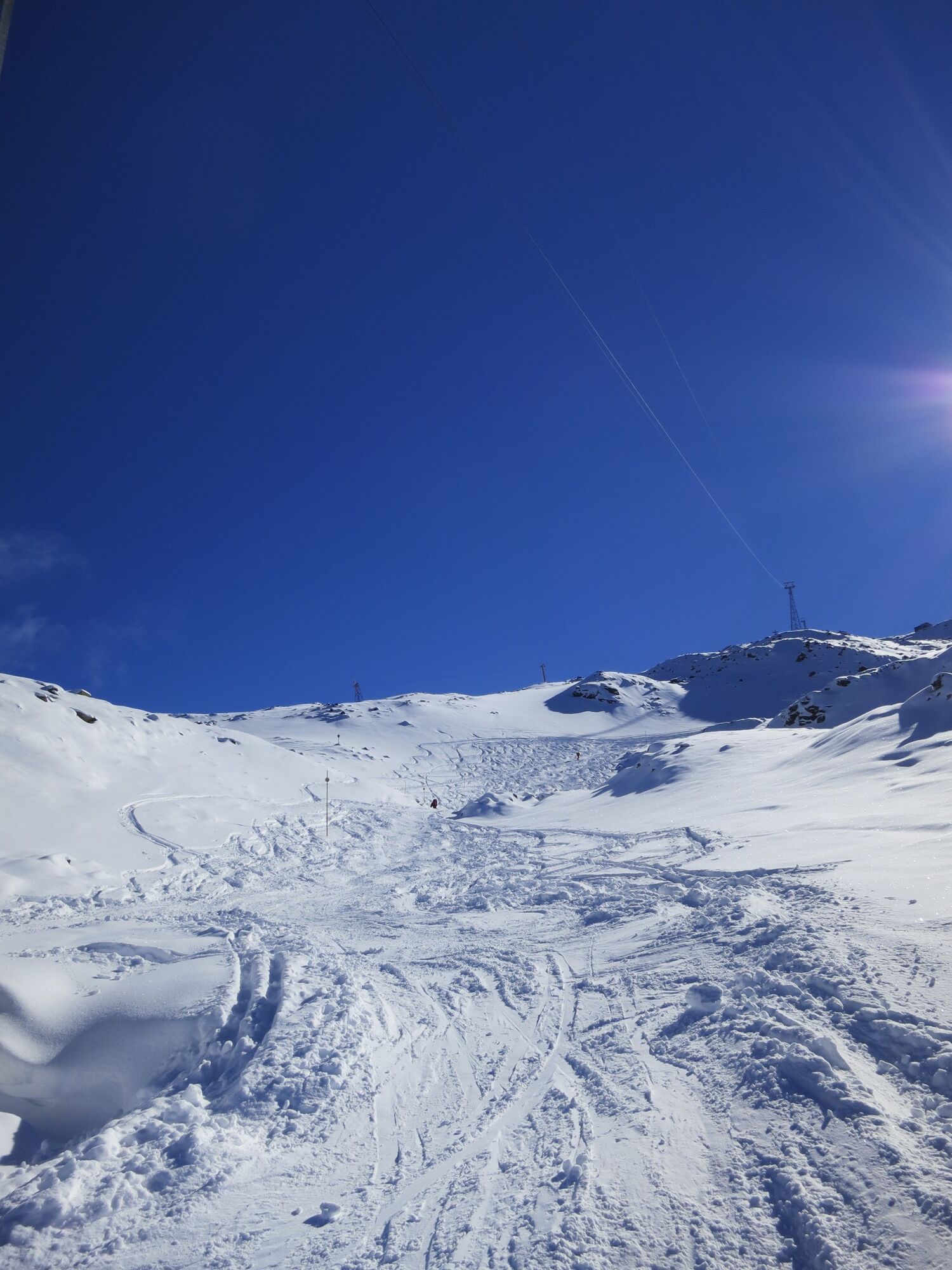
There is no other mountain in the area which offers you so many different ways to go up and have a good run down!
- Directions
-
Depending on your state of health and the snow the starting point for the skitour up to the Glungezer range between Hall and Volders.
Starting in Hall you start near the Hotel Badl through the Hasental - 2.100m to get up to the peak of the Glungezer.
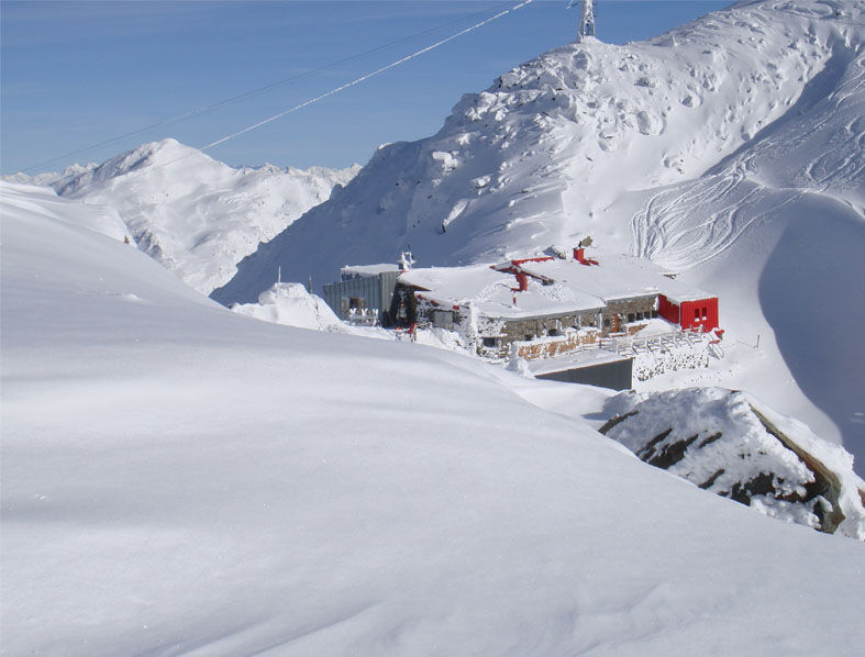
For a "normal" skitour the starting point is at the mountain station of the cable car following the pist to the Tulfein Alm at 2.035m.
Furtheron at the pist to the saddle of the Schartenkogel (2.230m) and right hand side, direction south, to the peak.
- Highest point
- 2,665 m
- Height profile
-

- Directions
-
Hall - Tulfes
- Public transportation
-
Bus 4134 to Tulfes
- Parking
-
At the Cable Car station
- Author
-
The tour The multi-faceted Glungezer is used by outdooractive.com provided.
GPS Downloads


General info
Refreshment stop
A lot of view
Other tours in the regions