
- Brief description
-
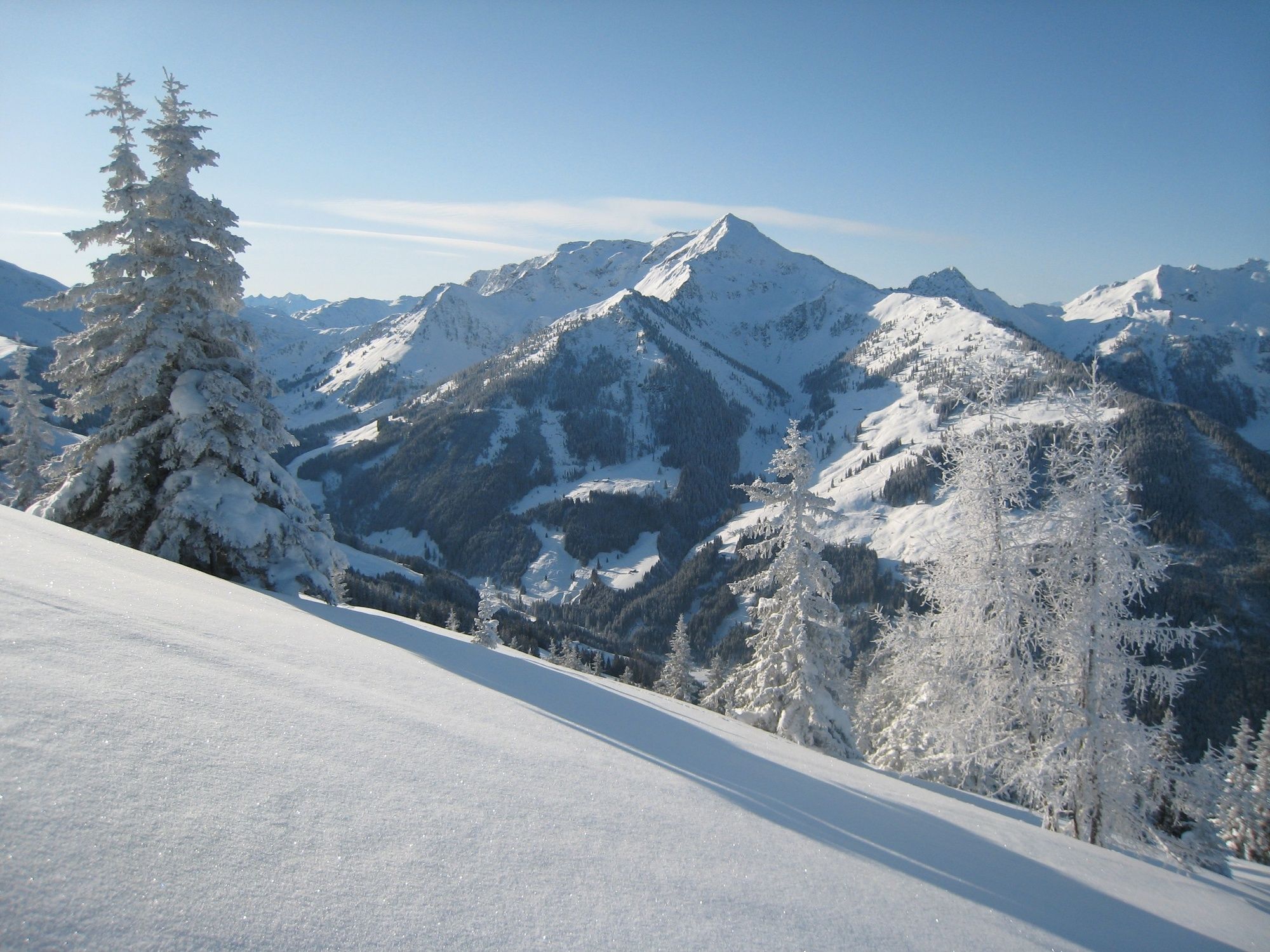
Ski touring on the "sunny side" from Alpbach to the Schatzberg
- Difficulty
-
medium
- Rating
-
- Starting point
-
Alpbach/Inneralpbach
- Route
-
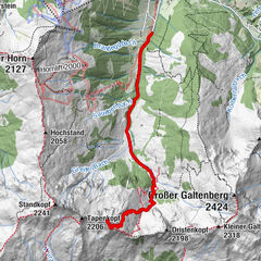
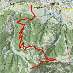
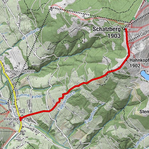
InneralpbachHahnkopf (1,902 m)2.3 kmGipfelbahn2.7 kmSchatzberg (1,903 m)2.9 km
- Best season
-
AugSepOctNovDecJanFebMarAprMayJunJul
- Description
-
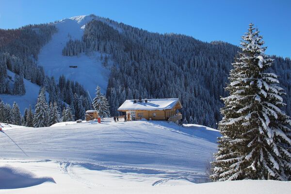
Walking time: approx. 2,5 hours – 900 m elevation gain
Starting from the car park in Inneralpbach backtrack for a few metres on the main road and turn right after the bridge. To the left of Gästehaus Hummerau put on your skis and walk up the slope slightly to the right to the gap in the fence. Cross the road and fields and a further road. After the next fields, you reach the woods and a clearing through their middle. Keep to the side of the clearing; you will soon reach the snow-covered slopes at the Jochumalm. Now and then, you will encounter yellow/red markers. Follow the markers to the Hahnkopf at 1.902 m. From here, you will be able to make out the ski areas top station and the Schatzberg.
Descent: if you like, you can cross behind the ski lift top station and tour up the last metres to the Schatzberg peak. Most ski tourers descend from the Hahnkopf by following their uphill tracks. Alternatively, you can continue from the Hahnkopf in a south-easterly direction, crossing several clearings to the right and short stretches through the woods to the Lueger Valley and return to Inneralpbach via the cross-country trail.
- Directions
-
Car park in Inneralpbach - put on skis - fence slip-through, cross road and walk uphill over slopes to a second road - slopes - woods - alongside the forest - Jochumalm - yellow/red markings - Wetterkreuz - Hahnkopf at 1.902 m- Schatzberg
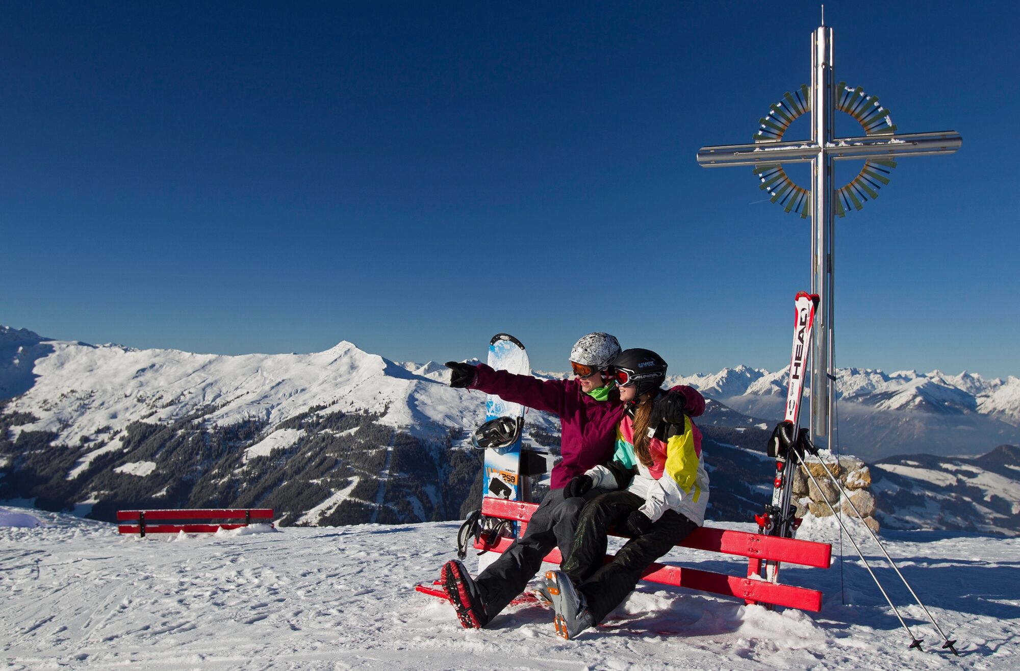
- Highest point
- 1,897 m
- Endpoint
-
Alpbach/Inneralpbach
- Exposition
- Height profile
-

- Equipment
-
Ski touring equipment, something to eat and drink
- Safety instructions
- Tips
-
Tip: make a detour to the reservoir from the Hahnkopf and cross the plateaus mounds to the Joel (approx. 1 ½ hours) ski down the sweeping free slopes into the Lueger Valley.
- Directions
- Public transportation
- Parking
-
Inneralpbach car park (fees apply)


- Author
-
The tour Schatzberg Sunny Side - Inneralpbach is used by outdooractive.com provided.


General info
-
Alpbachtal
109
-
Alpbach
42