Tour data
7.35km
1,652
- 2,933m
1,283hm
2hm
02:51h
- Brief description
-
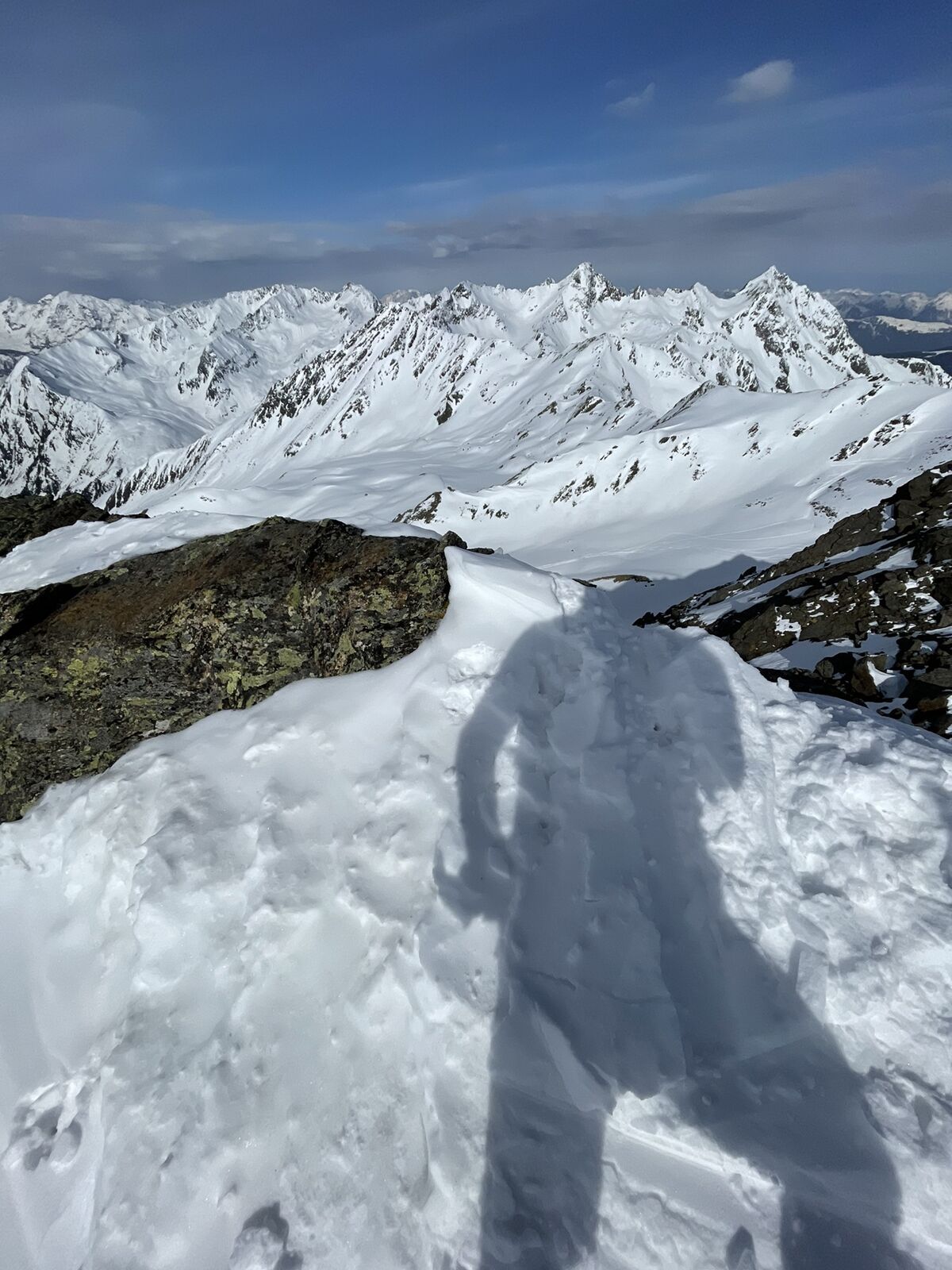
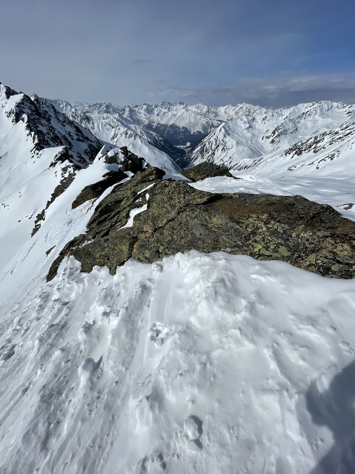
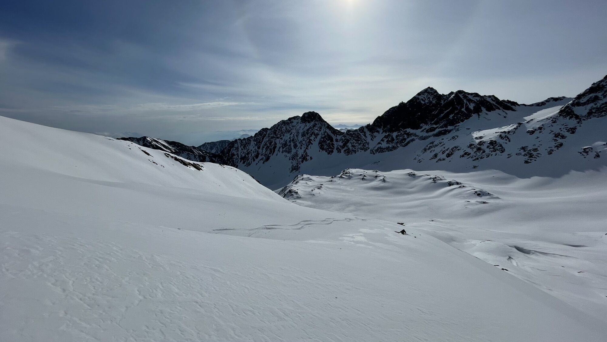
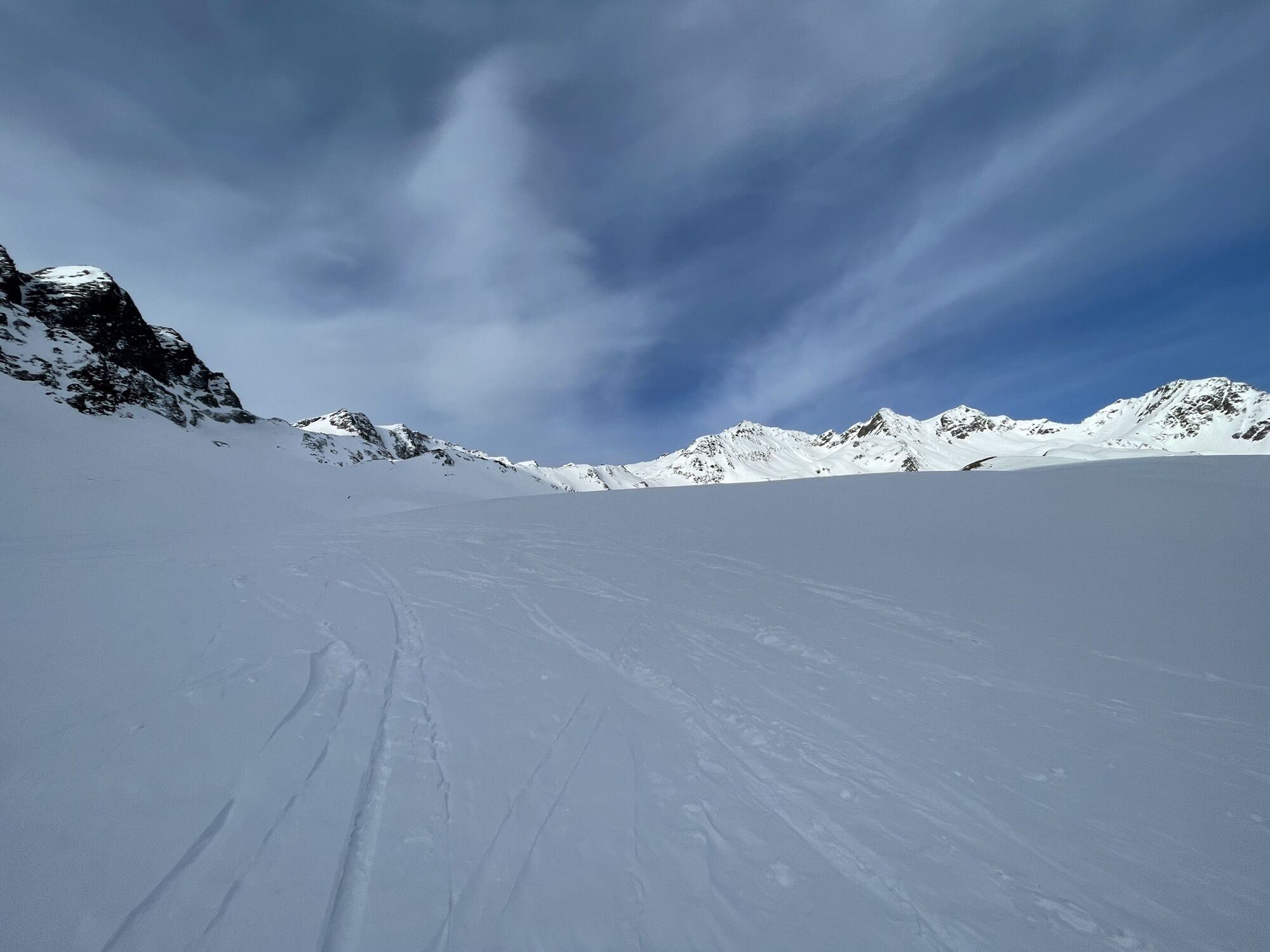
Abfahrt über Osthänge
- Difficulty
-
medium
- Rating
-
- Route
-
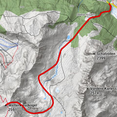
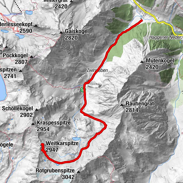
Jausenstation SchärmeralmZwinge2.6 kmHüttl am Stoa2.8 kmWeitkarspitze (2,947 m)7.3 km
- Highest point
- 2,933 m


GPS Downloads


Other tours in the regions