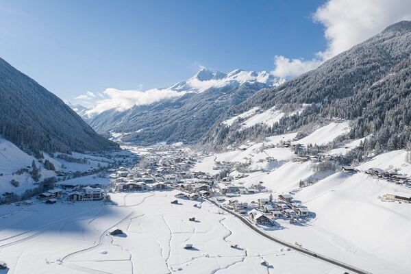
© Tourismusverband Region Hall-Wattens - Anne W.
- Brief description
-
Alpine tour that requires appropriate knowledge!
- Difficulty
-
difficult
- Rating
-
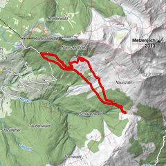
- Route
-
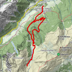
Viggarspitze (2,306 m)2.0 kmBoscheben3.6 km
- Best season
-
AugSepOctNovDecJanFebMarAprMayJunJul
- Description
-
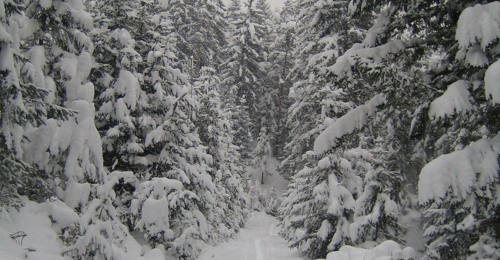
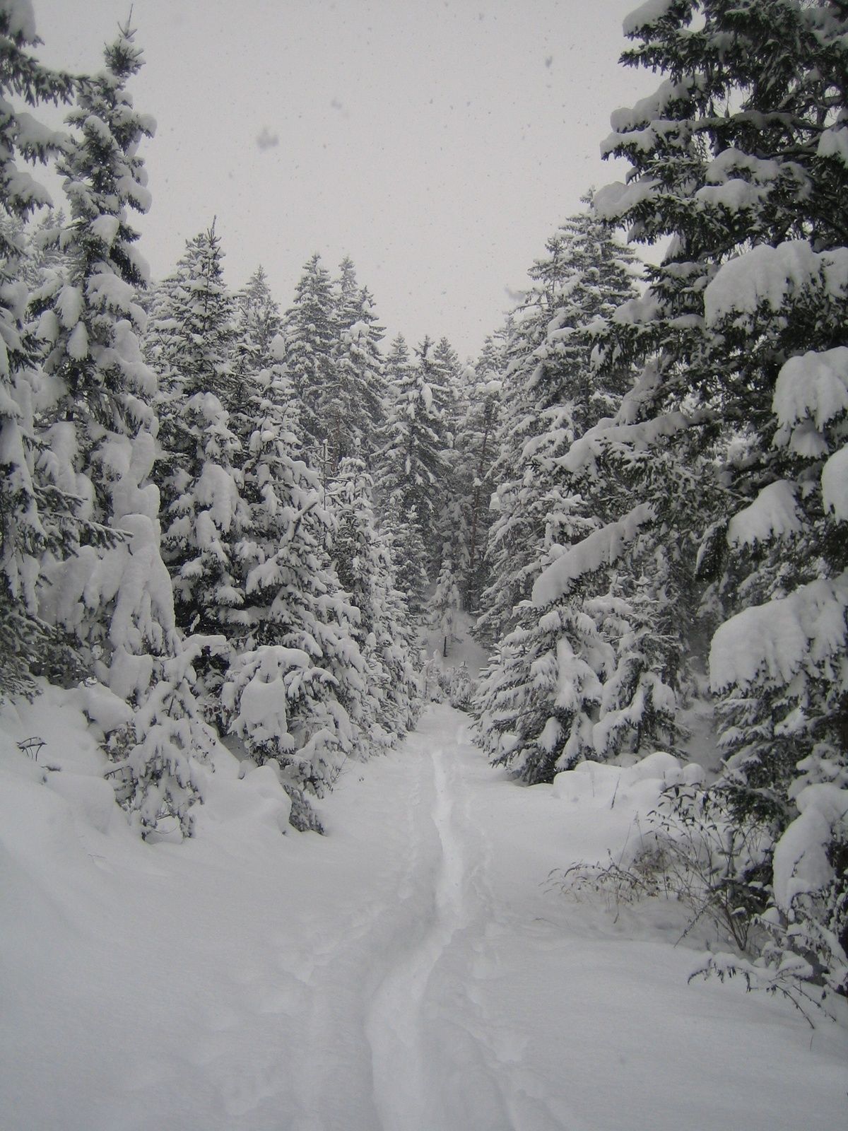
Silence, each step seems to crunch resoundingly in the snow. Even if there are several meters of snow, you don`t sink into it with snowshoes. It`s an easy and gentle step by step up to th top of the mountain.
- Directions
-
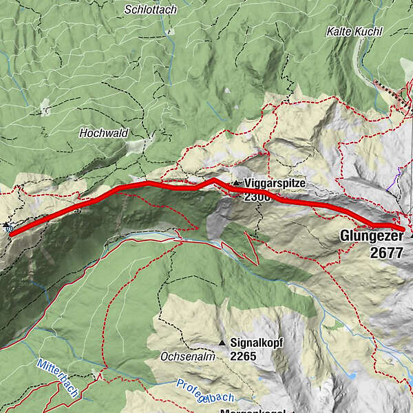
Starting at the Glungezerhut (2610m) we follow the way via the Sonnenspitze to the Viggarspitze (2306m), if the conditions are good you can go on to the top of the Patscherkofel.
The way down leads you to Igls, even by foot or with the Patscherkofel Cable Car.
During this hike you have a perfect view down to the Inntal Valley and to the Karwendel.
- Highest point
- 2,509 m
- Endpoint
-
Patscherkofel Igls
- Height profile
-

- Equipment
-
Snowshoes
- Directions
-
Glungezer Cable Car
- Parking
-
Glungezer Cable Car
- Author
-
The tour Snowshoe- Hike from the Glungezer to the Patscherkofel is used by outdooractive.com provided.
GPS Downloads


General info
Refreshment stop
Insider tip
A lot of view
Other tours in the regions