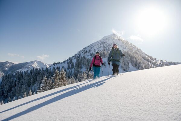
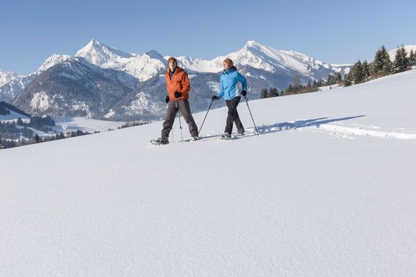
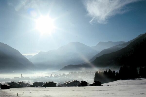
© Panoramahotel Talhof - Tanja Weirather

- Difficulty
-
medium
- Rating
-
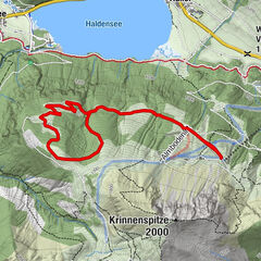
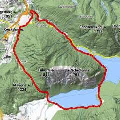
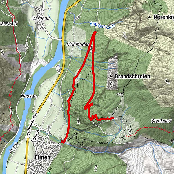
- Route
-
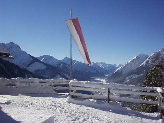
Elmen (976 m)0.0 kmStablalm3.9 km
- Highest point
- 1,405 m
- Endpoint
-
Stablalm
- Height profile
-

- Author
-
The tour Auf die Stablalm im Lechtal is used by outdooractive.com provided.
GPS Downloads


General info
Refreshment stop
Other tours in the regions
-
Tannheimer Tal
26
-
Elmen
3