


- Brief description
-
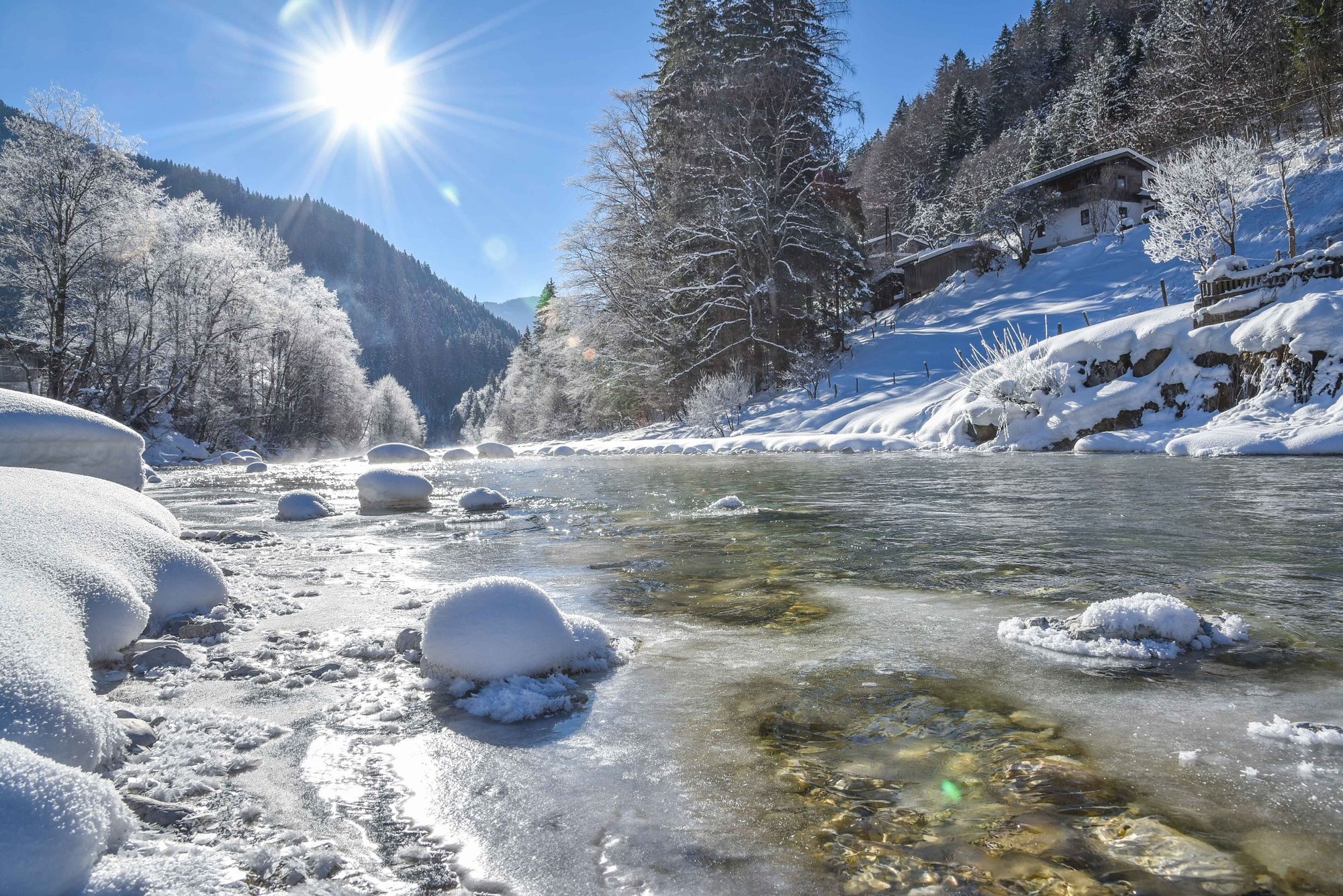
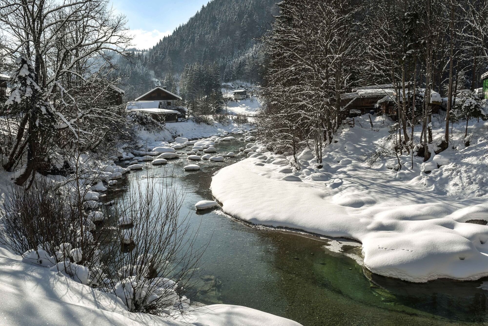
Easy tour, in part along the Brandenberg River
- Difficulty
-
easy
- Rating
-
- Starting point
-
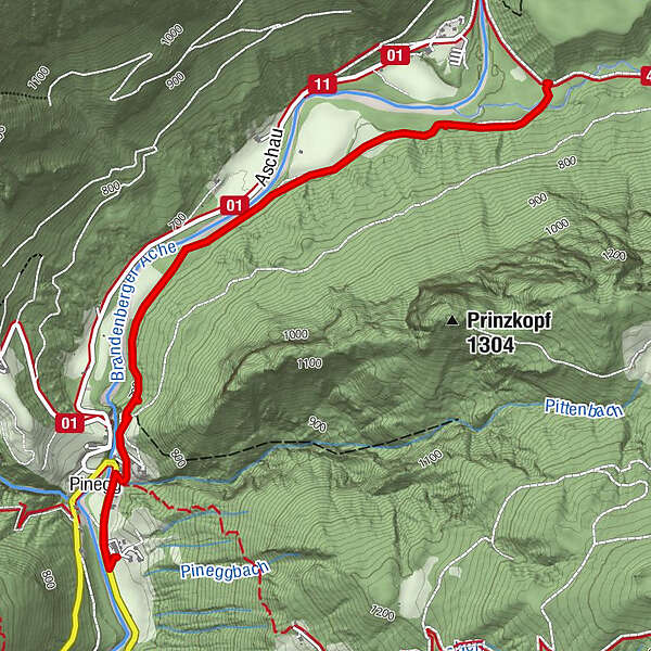
Pinegg, Brandenberg
- Route
-
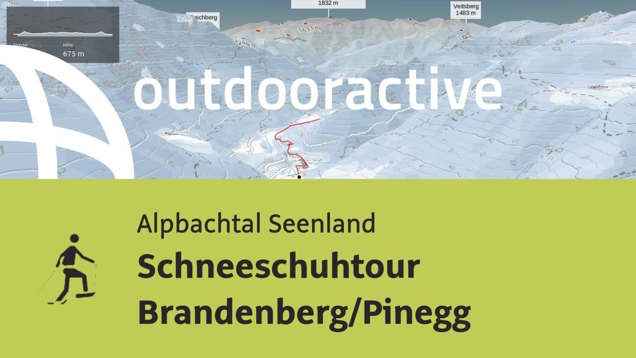
Gasthof Gwercherwirt0.0 kmKapelle Pinegg0.2 kmPinegg0.3 kmPinegg6.2 kmKapelle Pinegg6.2 kmGasthof Gwercherwirt6.4 km
- Best season
-
AugSepOctNovDecJanFebMarAprMayJunJul
- Description
-
Starting at the Gwercherwirt keep to the right and walk a short distance into the valley. Turn right before the bridge and walk uphill. Follow the signs for the Kaiserhaus/Kaiserklamm and walk along paths and through fields next to the Brandenberg stream up to the Kaiserhaus/Ellbach fork. Walk back to the start along the same route.
- Directions
-
Route keeping close to the village
- Highest point
- 720 m
- Endpoint
-
Pinegg, Brandenberg
- Height profile
-

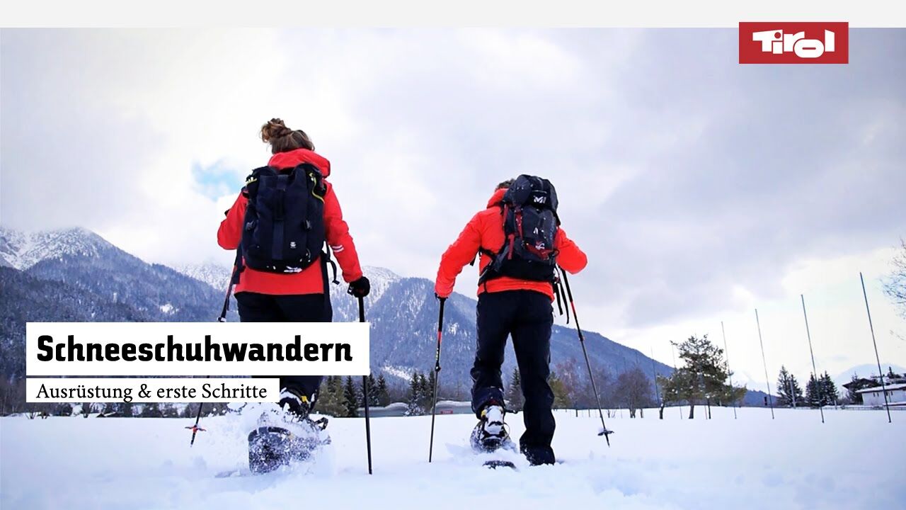
- Equipment
-
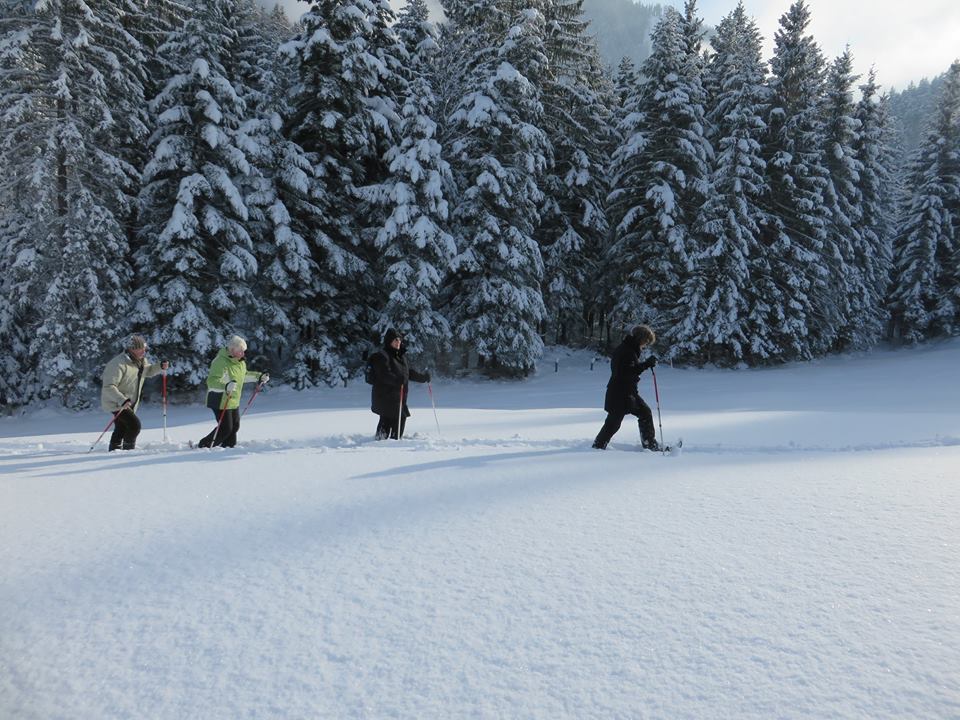
Sturdy shoes, snowshoes, winter clothing
- Safety instructions
-
Winter conditions can bear additional risks such as avalanches and increased snow loads.
- Tips
-
sturdy footwear, snowshoes, protective clothing
- Additional information
- Directions
-
A12, motorway exit Kramach, towards Kramsach, Sonnwendjochbergbahn (defunct chairlift), to Aschau and Pinegg, cross the bridge and after approx. 200 m uphill to the Gasthof Gwercherwirt
or:
A12, motorway exit Kramach, towards Kramsach, towards the lakes (zu den Seen), turn left after the bridge to Brandenberg, drive through the village and Winkel, to Pinegg - the Gasthof Gwercherwirt is to right
- Public transportation
- Parking
-
Brandenberg/Pinegg, Gasthof Gwercherwirt
- Author
-
The tour Pinegg - Brandenberg is used by outdooractive.com provided.


-
Alpbachtal
35
-
Brandenberg
9


