
- Brief description
-
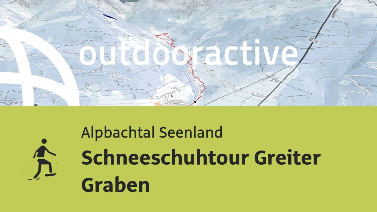
Pleasant tour through the "Greiter Graben" to the "Greiter Alm" and back
- Difficulty
-
medium
- Rating
-
- Starting point
-
Alpbach/Inneralpbach
- Route
-
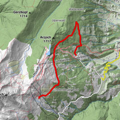
InneralpbachGreiter Graben1.6 kmGreitalm3.5 kmSalcheralm4.0 kmGreiter Graben5.4 km
- Best season
-
AugSepOctNovDecJanFebMarAprMayJunJul
- Description
-
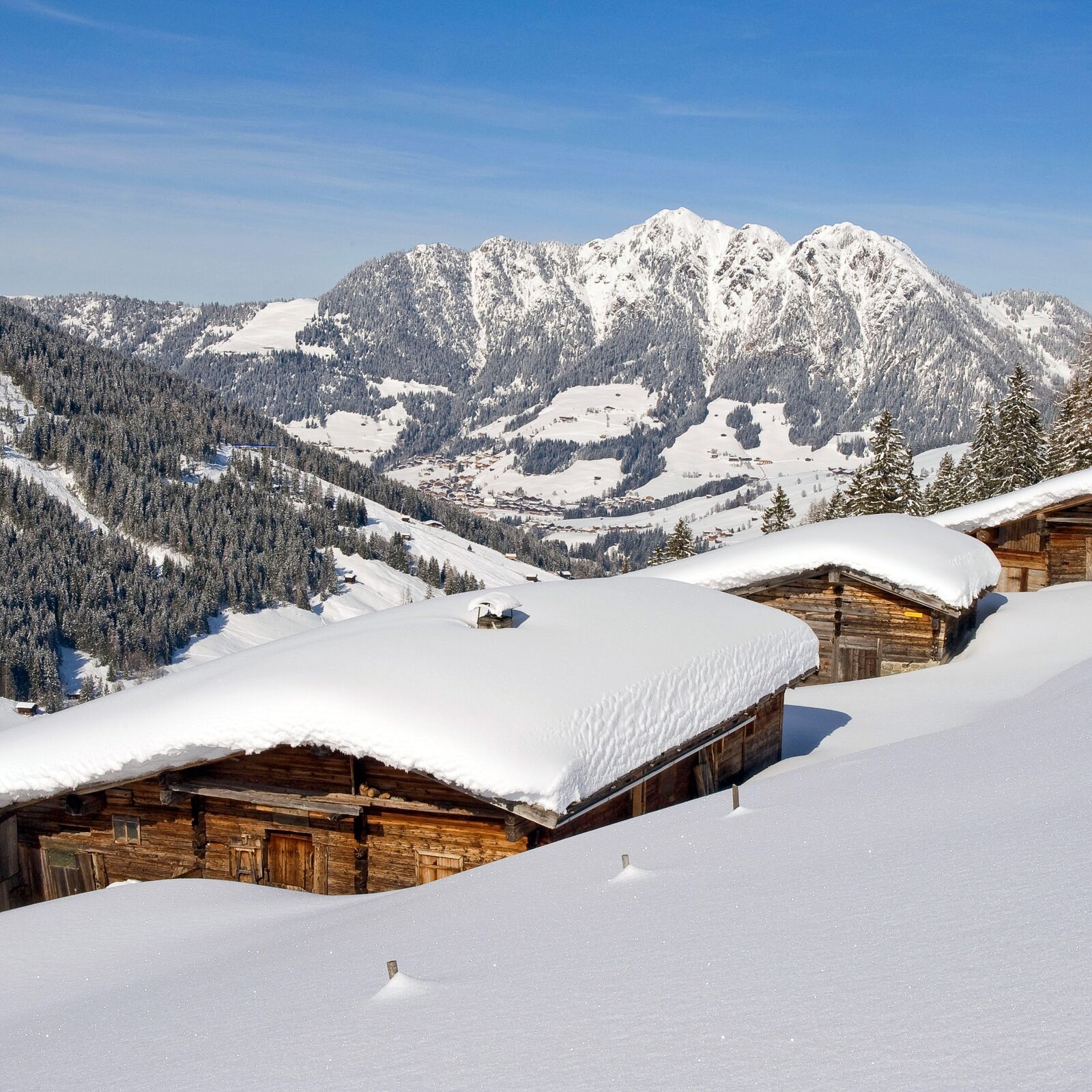
Walk from the car park (parking fees apply) to the „Galtenberg“ drag lift and along the ski route 66 up the valley. Please beware: skiers use this route; please keep to one side! On reaching the forest track (this is the starting point if one has parked at the car park before the barrier) follow the gentle climb up to the „Greiter Alm“; (don’t turn right; leave the ski route 66). Cross the field walking in a loop up to the bridge. Cross the bridge and hike past the „Salcheralm“ and out the valley, passing a hut on the right. At the next wooden hut walk to the left of the hut and on to the bridge. Cross the bridge and hike back on the path to the start.
- Directions
-
Walk from the car park (parking fees apply) to the „Galtenberg“ drag lift and along the ski route 66 into the valley. Please beware: skiers use this route; please keep to one side! On reaching the forest track (this is the starting point if one has parked at the former Gasthof Leitner, now closed for business) follow the gentle climb up to the „Greiter Alm“; (don’t turn right; leave the ski route 66). Cross the field walking in a loop up to the bridge. Cross the bridge and hike past the „Salcheralm“ and out the valley, past a hut on the right. At the next wooden hut walk to the left of the hut and on to the bridge. Cross the bridge and hike back on the path to the start.
- Highest point
- 1,314 m
- Endpoint
-
Alpbach/Inneralpbach
- Height profile
-

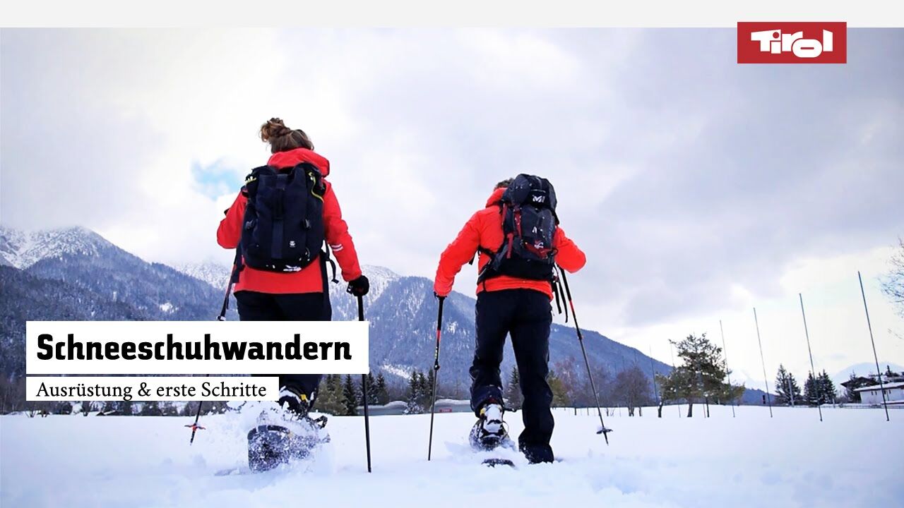
- Equipment
-
sturdy footwear, snowshoes, suitable clothing
- Safety instructions
-
Please note the winter conditions in the Alpine terrain and consult the current avalanche report.
- Additional information
- Directions
-
A12, motorway exit Kramsach/Brixlegg, towards Brixlegg, Alpbachtal, to Inneralpbach
- Public transportation
- Parking
-
Car park Inneralpbach (fees apply)

- Author
-
The tour Greiter Valley - Inneralpbach is used by outdooractive.com provided.


General info
-
Alpbachtal
35
-
Alpbach
21