
- Brief description
-
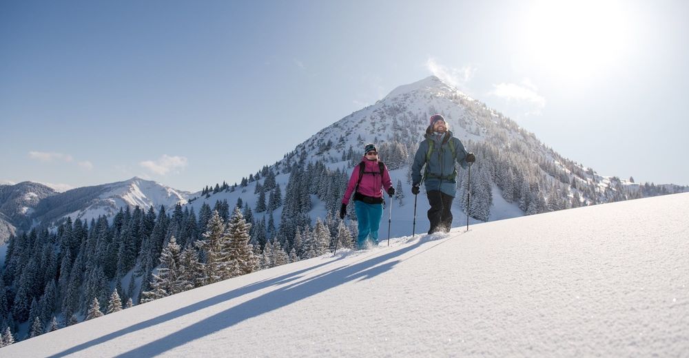
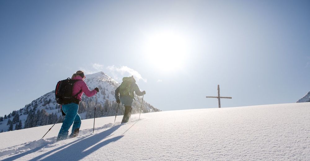
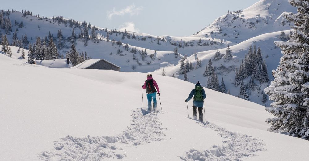
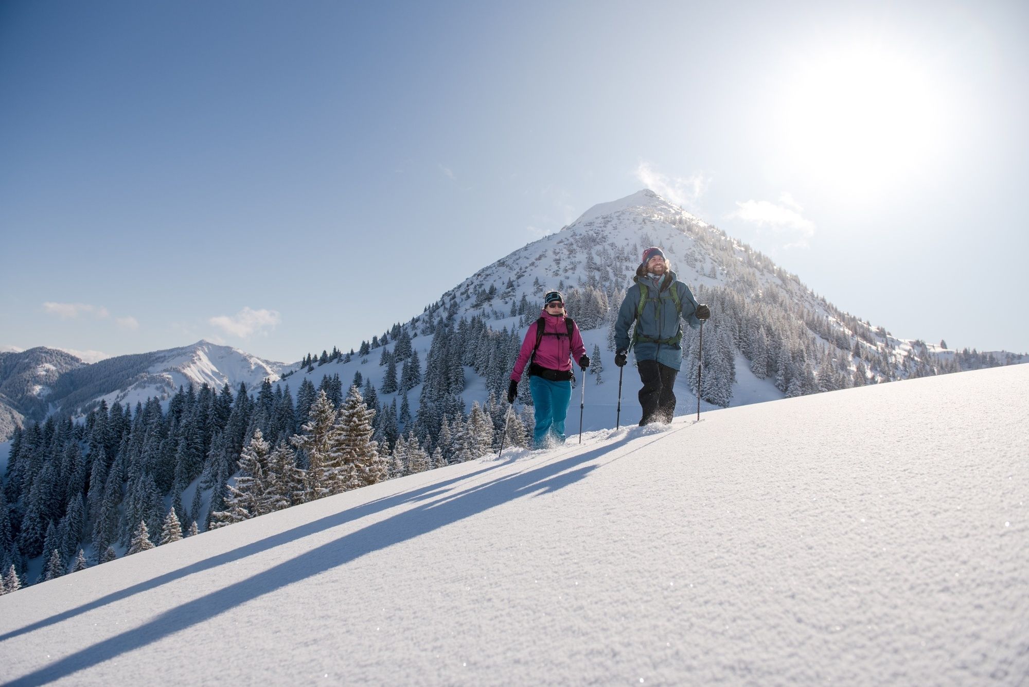
A beautiful snowshoe tour at 1500m above sea level
- Difficulty
-
medium
- Rating
-
- Starting point
-
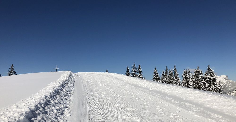
Winter hiking trail Krinnenalpe - Edenalpe
- Best season
-
AugSepOctNovDecJanFebMarAprMayJunJul
- Description
-
Compared to other winter sports, snowshoeing can be learned very easily and in a very short time. If you want to embark on a wild and romantic journey of discovery, away from the snowshoe tours described above, it is best to do so with a local mountain and hiking guide who knows the most attractive places along the way.
- Directions
-
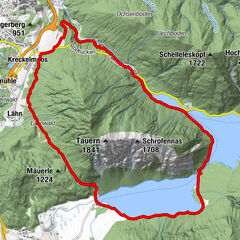
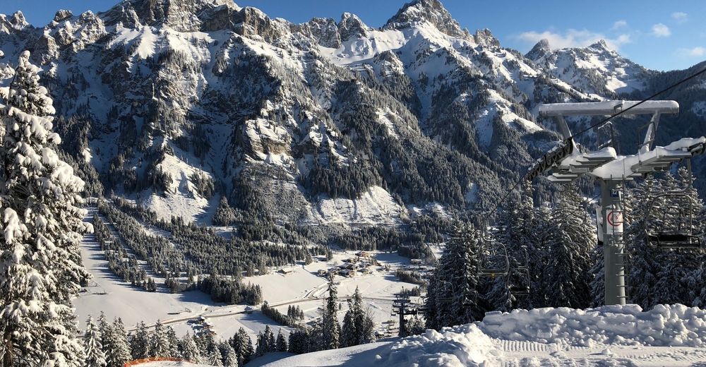
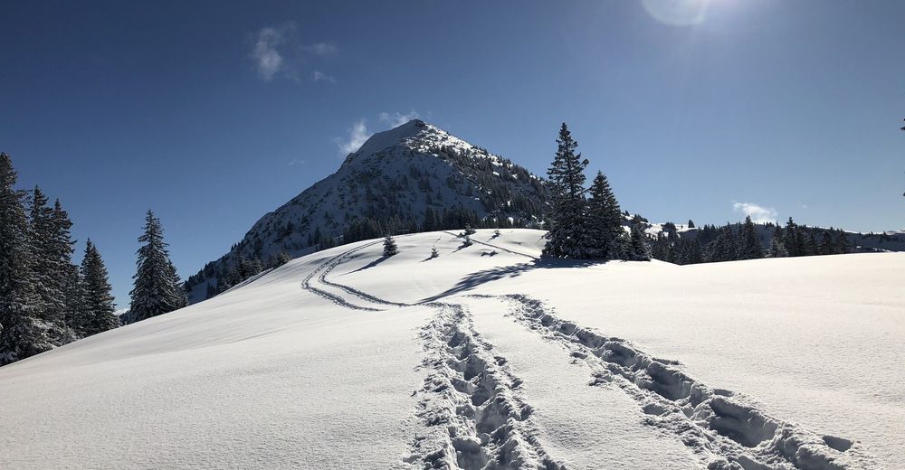
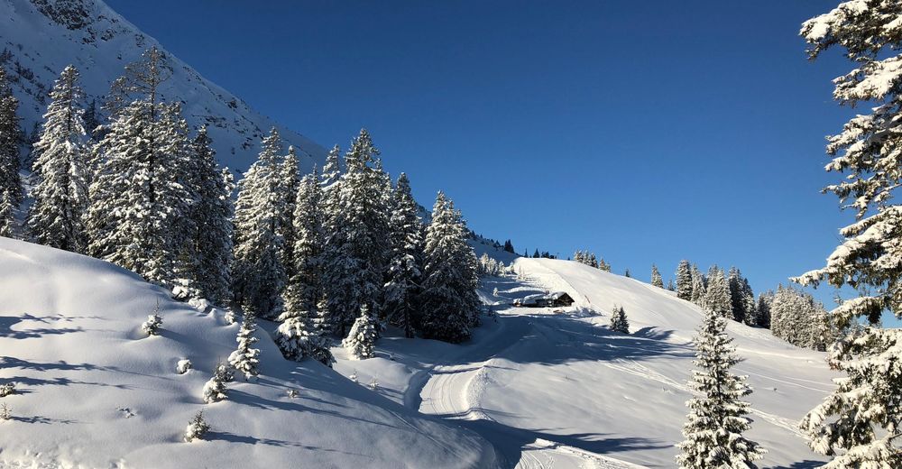
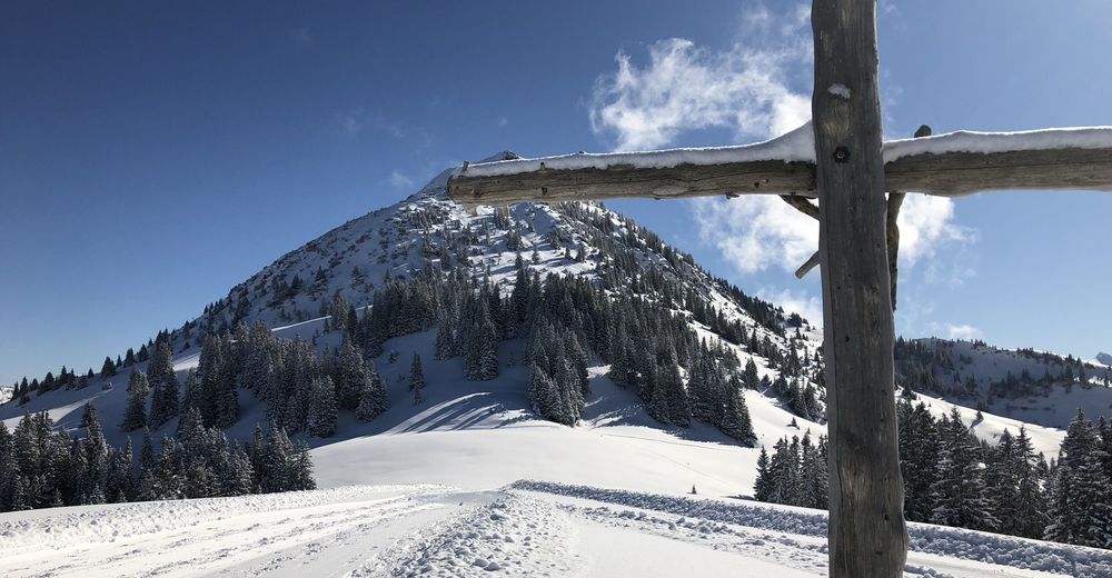
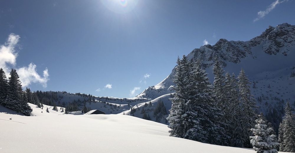
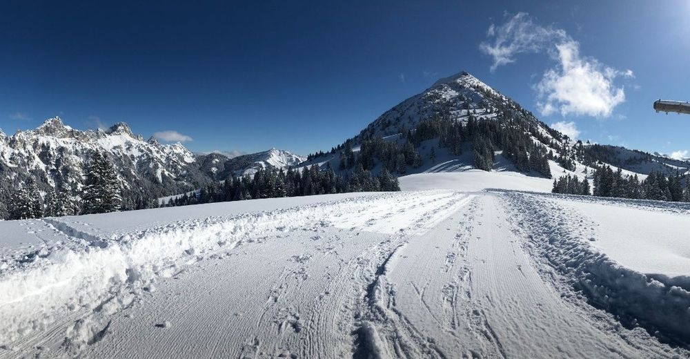
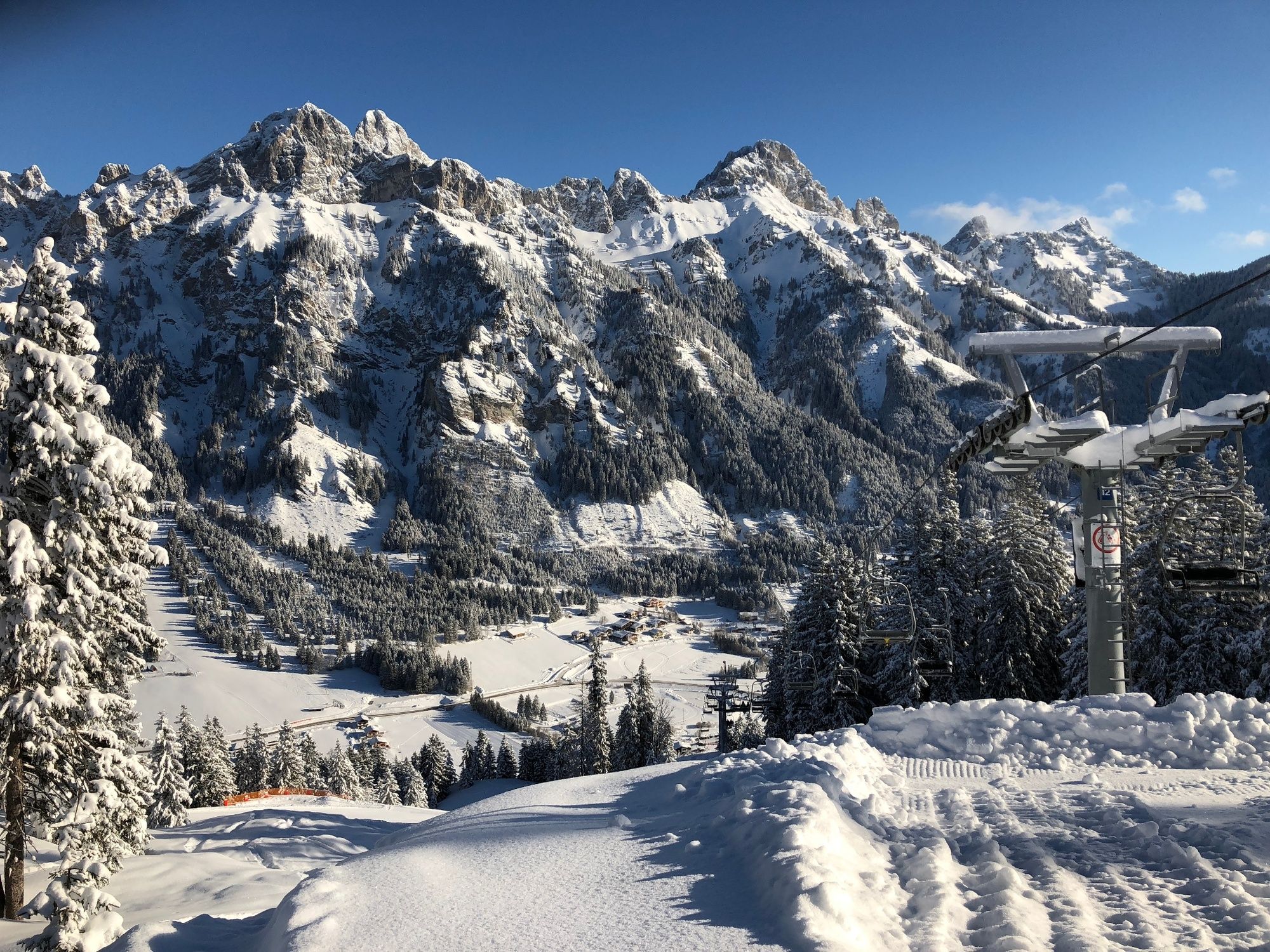
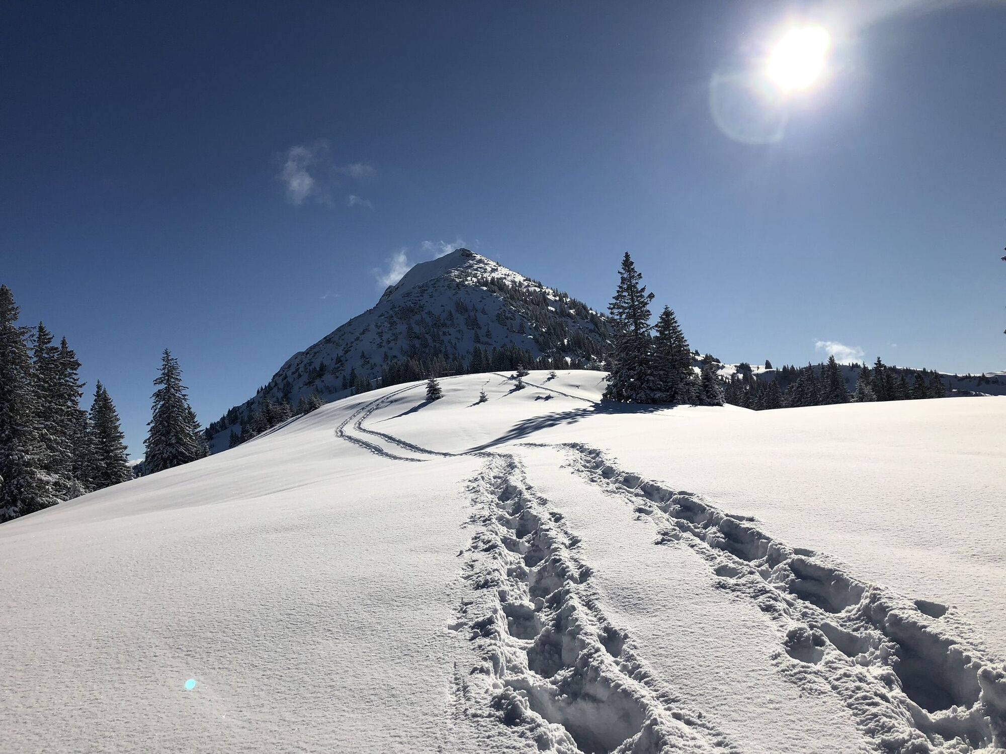
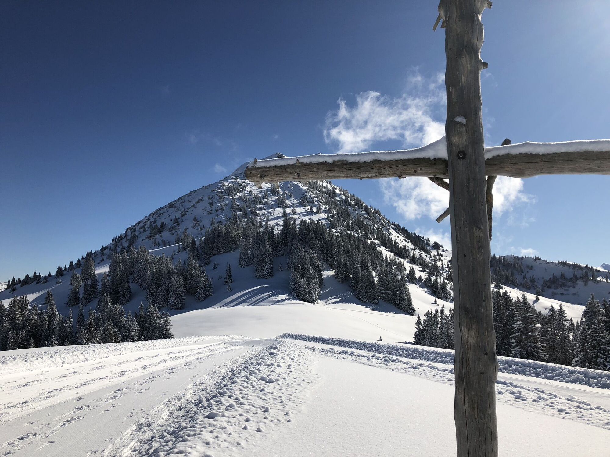
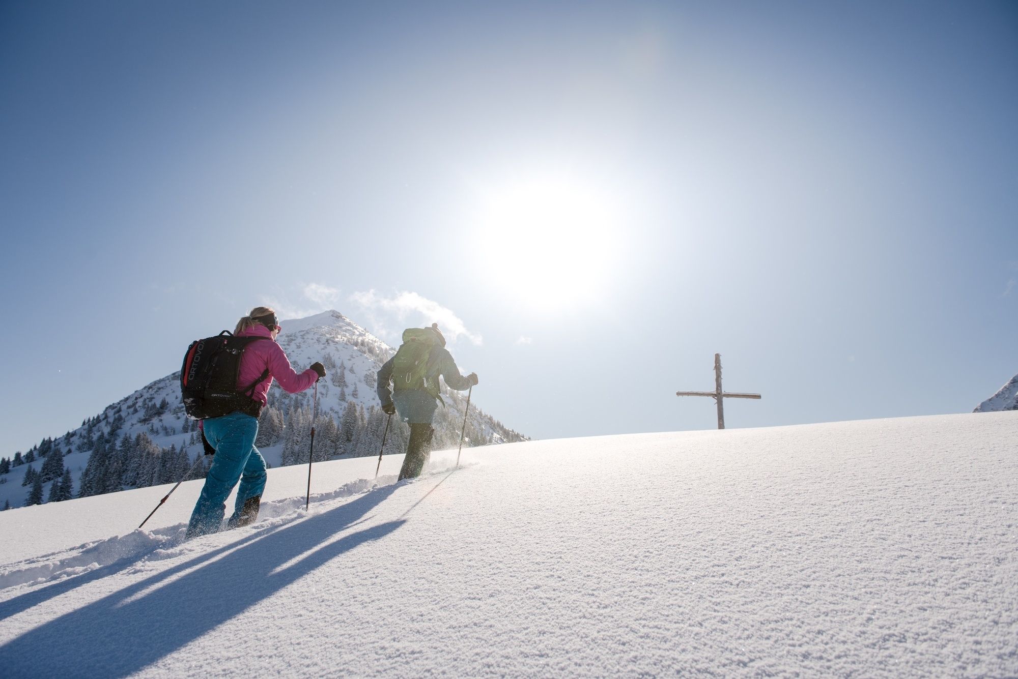
The snowshoe tour begins at the top station of the Krinnenalpe double chair lift in Nesselwängle and runs in a westerly direction a short distance parallel to the ski slope on the prepared winter hiking trail. From the valley station of the Almboden drag lift the trail climbs up to the turning point at Nesselwängler Edenalpe. From here the trail continues in the snow-covered open terrain and finally leads back to the rolled up winter hiking trail. On the way there are several possibilities for a rest with a view into the Tannheimer Tal. The Krinnenalpe not far from the mountain station is also open in winter.
Attention: the high-altitude cross-country ski run also leads along this route! Pay attention to the danger of avalanches!!
- Highest point
- 1,681 m
- Endpoint
-
Winter hiking trail Krinnenalpe - Edenalpe
- Height profile
-

- Equipment
-
A modern and well-kept equipment (snowshoes, mountain or hiking boots, poles, warm, functional and waterproof clothing, possibly gaiters) not only provides a considerable degree of safety but also makes snowshoeing much easier. Sun protection (high protection factor and possibly sunglasses) as well as sufficient liquid should not be forgotten.
- Safety instructions
-
It should be noted that snowshoeing also involves an increased risk of accidents and injuries. Special attention must be paid to the snow surface and the danger of avalanches. Suitable clothing, good footwear (hiking boots) and walking sticks provide additional safety. Stay on the marked tra
- Tips
-
A stop at the Krinnenalpe or the Gasthof Schuster is highly recommended.
- Additional information
-
Tourist office Tannheimer Tal
Rental service
Avalanche situation report
Krinnenalpe
Inn Schuster
Lift company Nesselwängle
- Directions
-
On the motorway A7 at the exit "Oy-Mittelberg" on the B310 towards Wertach and to Oberjoch. There follow the signposting "Tannheimer Tal" B199, exit lifts in Nesselwängle. From the Tyrolean side via Reutte on the B198 towards Lechtal to Weißenbach, over the Gaichtpass along the B199 to the lifts in Nesselwängle.
- Public transportation
-
By train to Sonthofen, Pfronten/Ried or Reutte, then by bus to Nesselwängle.
- Parking
-
Parking at the Nesselwängle ski lifts (subject to charge)


- Author
-
The tour Edenalpe-Nesselwängle is used by outdooractive.com provided.


General info
-
Allgäu
67
-
Tannheimer Tal
26
-
Nesselwängle
15