- Brief description
-
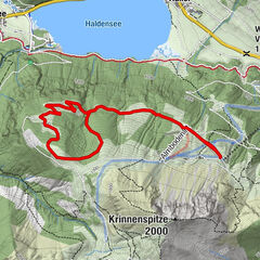
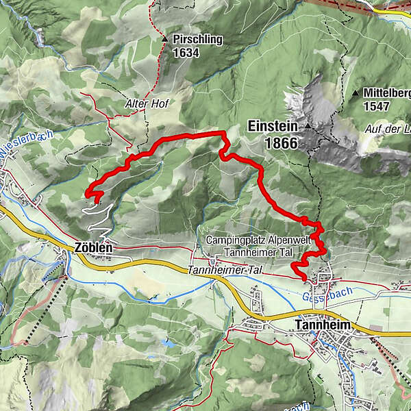
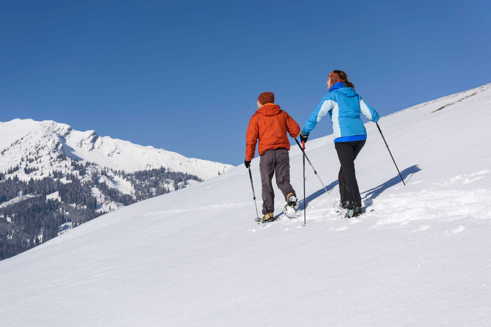
Through the hamlet of Ortsweiler Berg the trail leads over the deeply wintery and untouched Lohmoos to Zöblen.
- Difficulty
-
medium
- Rating
-
- Starting point
-
District Berg
- Route
-
Zugspitzblick6.0 km
- Best season
-
AugSepOctNovDecJanFebMarAprMayJunJul
- Description
-
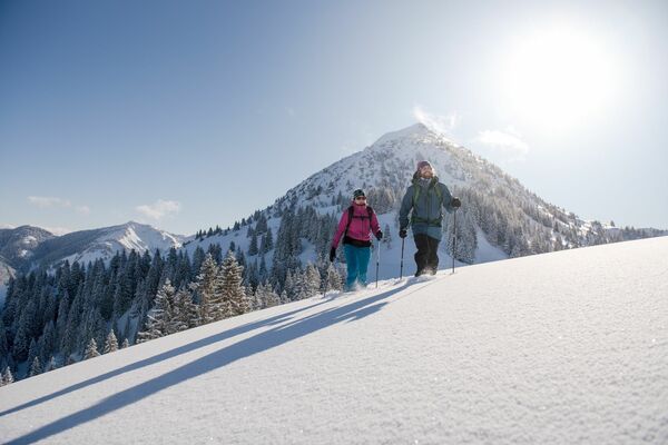
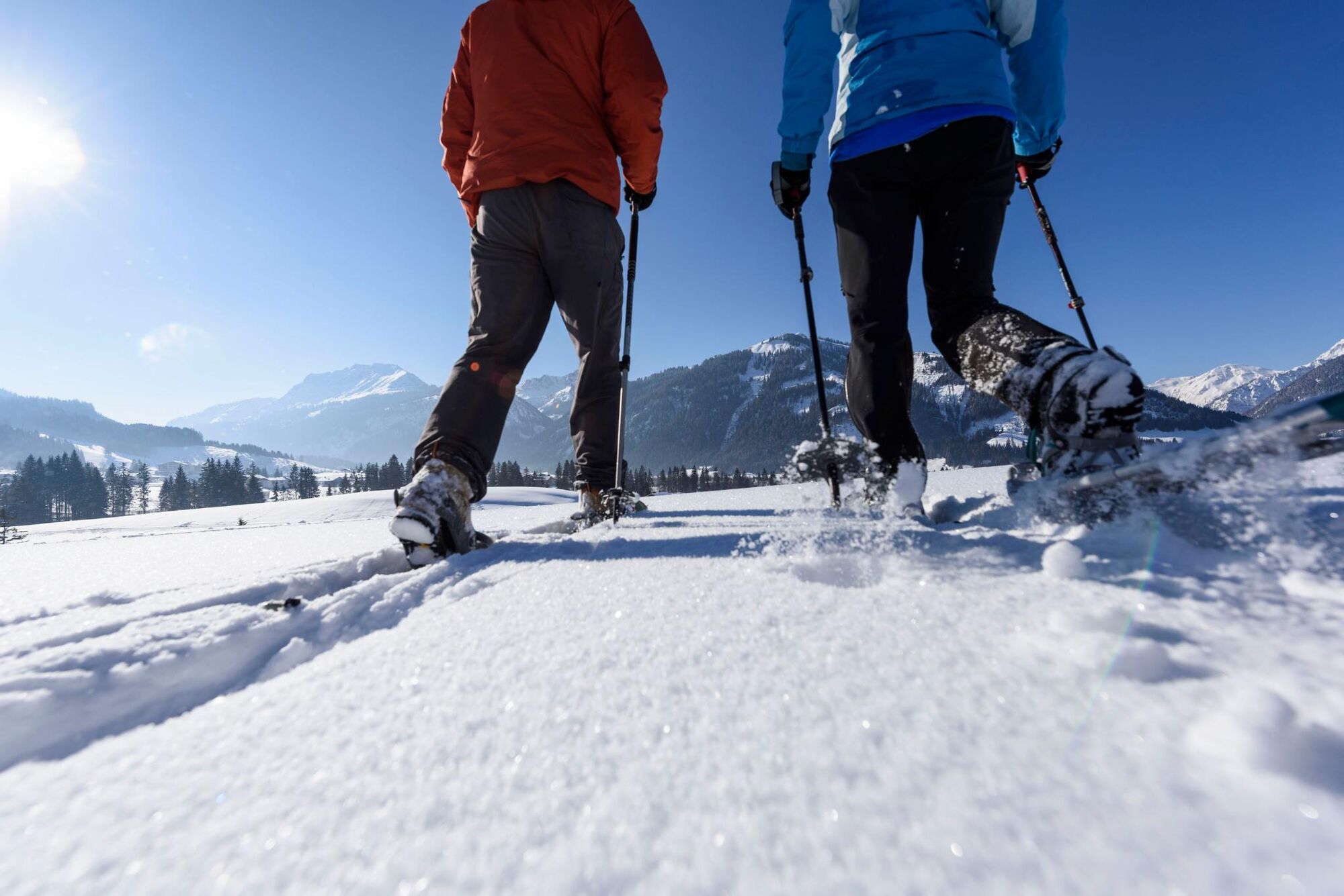
Compared to other winter sports, snowshoeing can be learned very easily and in a very short time. If you want to embark on a wild and romantic journey of discovery, away from the snowshoe tours described above, it is best to do so with a local mountain and hiking guide who knows the most attractive places along the way.
- Directions
-
The car park P3 is located near the underpass in Tannheim. Before we can put on our snowshoes, we hike through the district of Berg, towards Einstein, then follow the signs towards "Lohmoos". From there we leave the cleared winter hiking trail and walk with snowshoes in serpentines moderately upwards over a pasture area through the beautiful winter landscape to the small plateau of Lohmoos. At the fork we follow the path towards Gasthof Zugspitzblick. Once there, the snowshoe hike ends. The descent to Zöblen to the village square leads along the road. There is a bus stop.
- Highest point
- 1,473 m
- Endpoint
-
Inn Zugspitzblick Zöblen
- Height profile
-

- Equipment
-
A modern and well-kept equipment (snowshoes, mountain or hiking boots, poles, warm, functional and waterproof clothing, possibly gaiters) not only provides a considerable degree of safety but also makes snowshoeing much easier. Sun protection (high protection factor and possibly sunglasses) as well as sufficient liquid should not be forgotten.
- Safety instructions
-
It should be noted that snowshoeing also involves an increased risk of accidents and injuries. Special attention must be paid to the snow surface and the danger of avalanches. Suitable clothing, good footwear (hiking boots) and walking sticks provide additional safety. Stay on the marked trails.
- Tips
-
Enjoy the wonderful nature, the peace and the view.
- Additional information
-
Tourist office Tannheimertal
Avalanche situation report
Rental service
Inn Zugspitzblick
- Directions
-
On the motorway A7 at the exit "Oy-Mittelberg" on the B310 towards Wertach and to Oberjoch. There follow the signposting "Tannheimer Tal" B199, exit Tannheim.From the Tyrolean side via Reutte on the B198 towards Lechtal until Weißenbach, over the Gaichtpass along the B199 until exit Tannheim.
- Public transportation
-
By train to Sonthofen, Pfronten/Ried or Reutte, then by bus to Tannheim .
- Parking
-
car park P3 in Tannheim - with costs
- Author
-
The tour Lohmoos-Round is used by outdooractive.com provided.


General info
-
Allgäu
67
-
Tannheimer Tal
26
-
Tannheim
14