

- Brief description
-
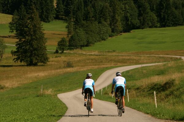
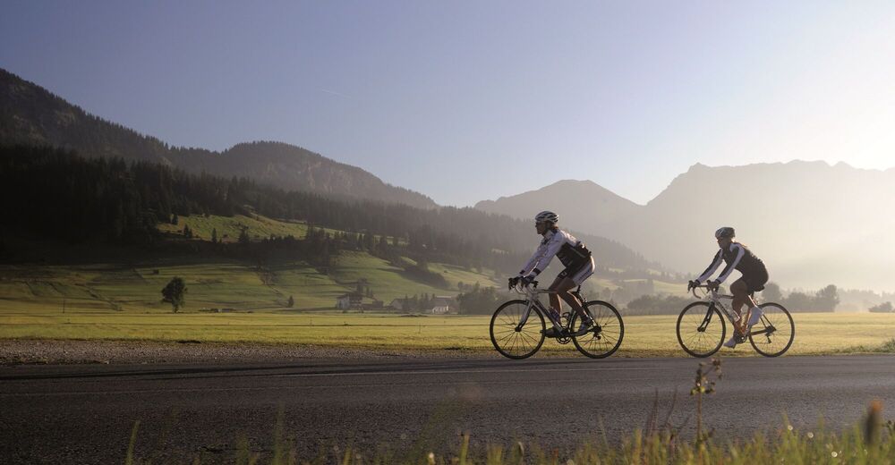
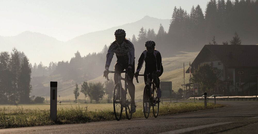
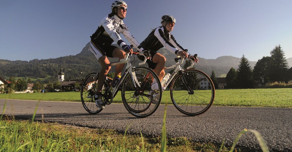
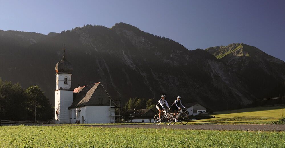
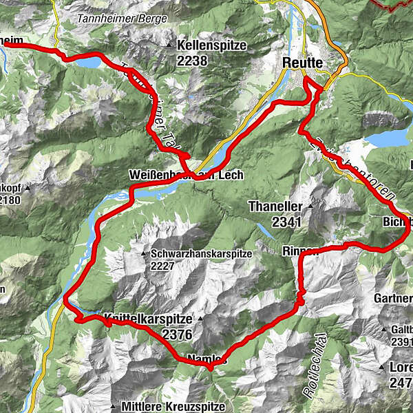
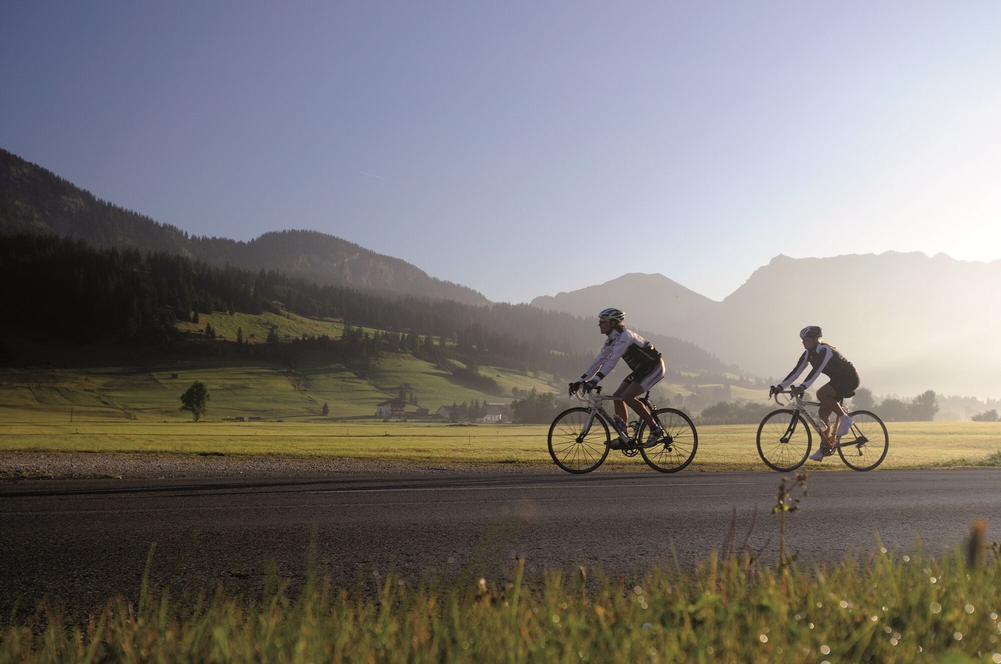
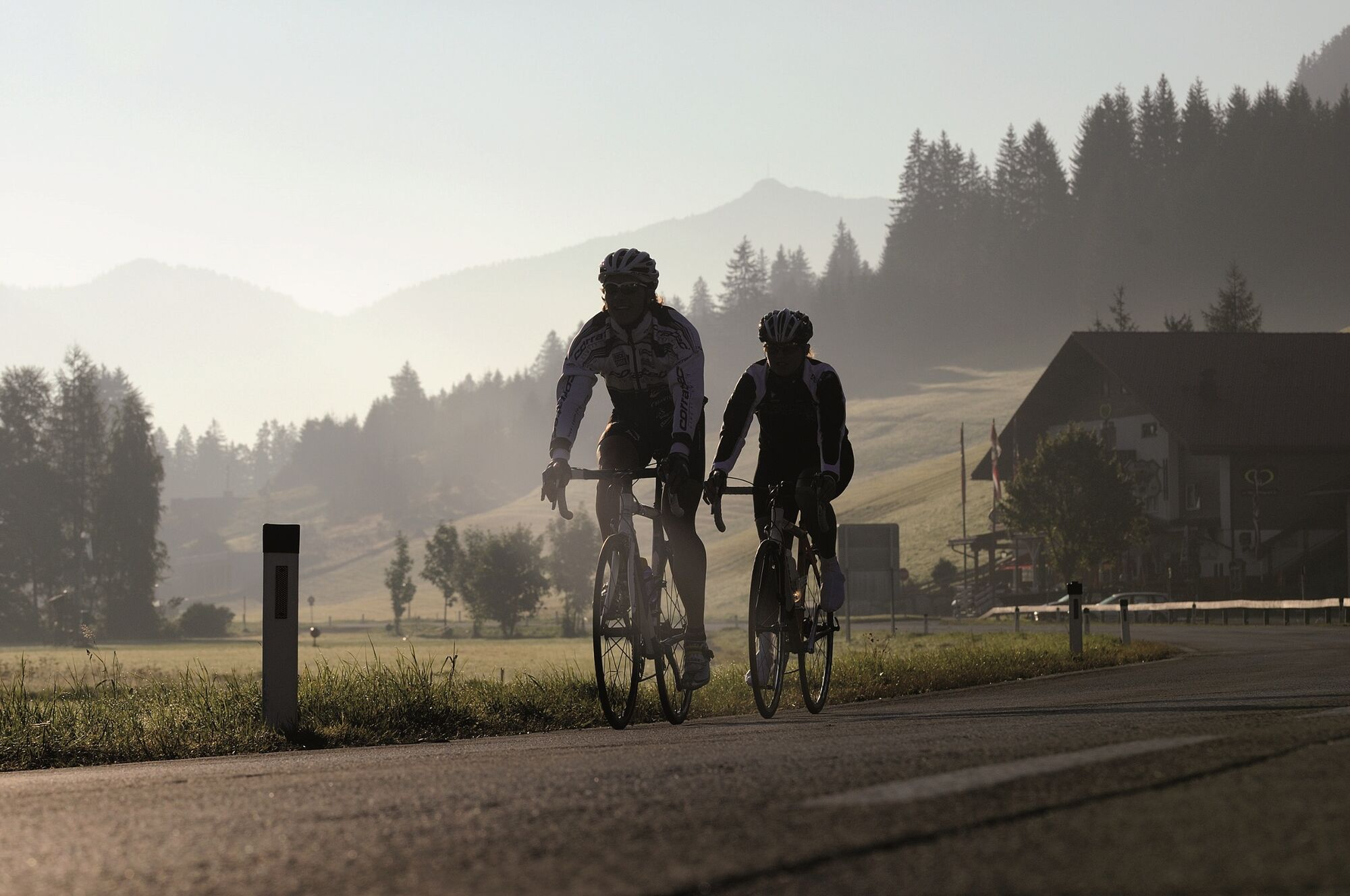
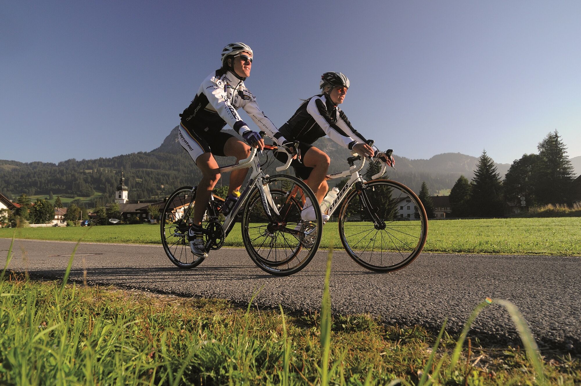
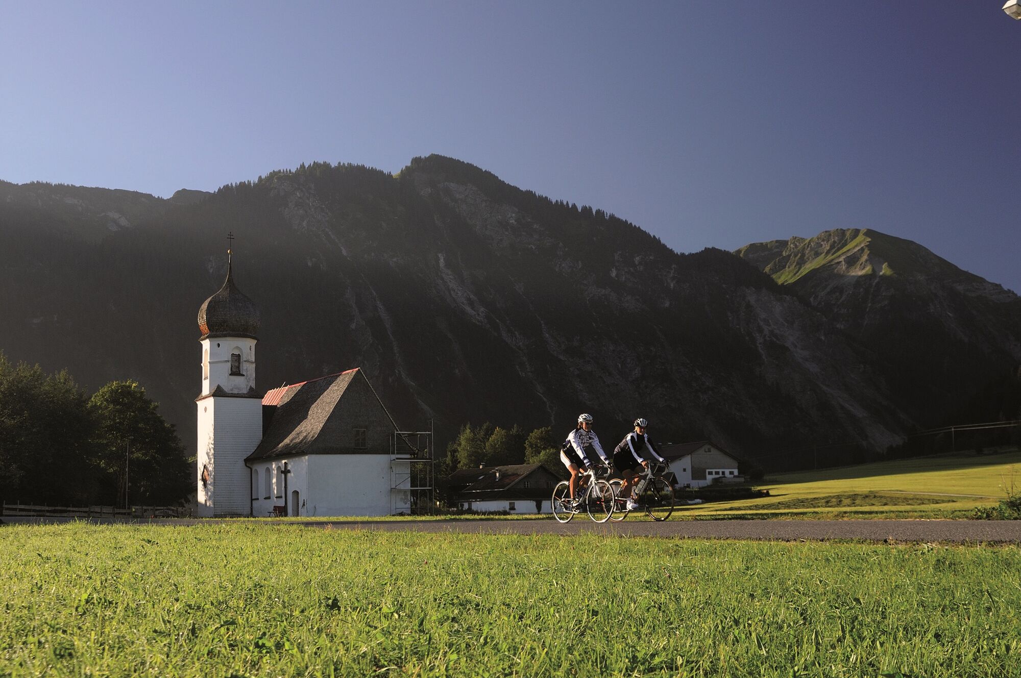
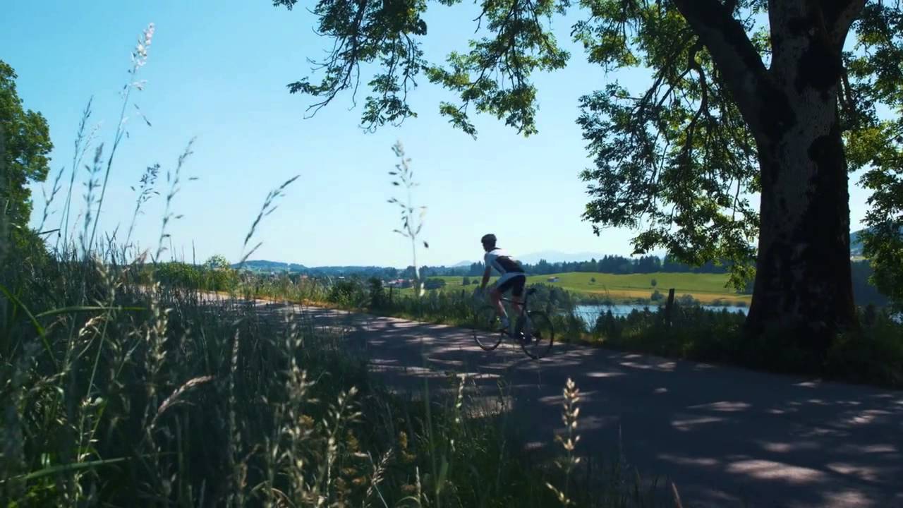
Start at the Tourism Information Office in Tannheim towards the East, past Nesselwängle via the Gaichtpaß to Weißenbach. Turn right at the traffic circle in to the Lech Valley, past...
- Difficulty
-
medium
- Rating
-
- Starting point
-
Tannheim / Tannheim Valley / Tyrol
- Route
-
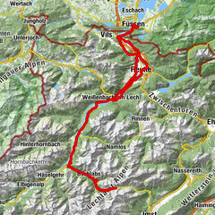
Tannheim (1,097 m)0.0 kmSt. Jakobus3.2 kmHaldensee3.2 kmVia Salina Hotel am See5.0 kmSt. Johannes5.1 kmHaller5.2 kmSchmittekapelle6.0 kmSchmitte6.2 kmNesselwängle (1,136 m)7.3 kmMariahilf Kapelle9.0 kmGasthof Klausenstüberl9.9 kmStegmühlkapelle9.9 kmRauth10.0 kmWeißenbach am Lech (885 m)14.9 kmDorfkirche14.9 kmForchach (910 m)20.6 kmBlockau24.5 kmStanzach (940 m)25.4 kmGasthaus Post25.4 kmPfarrkirche Stanzach25.4 kmNamlos (1,225 m)35.0 kmNamloser Hof35.1 kmKelmen38.1 kmRimmlstube44.7 kmRinnen44.7 kmSankt-Sebastian Kapelle44.9 kmKirche Berwang46.8 kmsportstüberl47.2 kmBerwang (1,342 m)47.2 kmDer Bär (Beim Schnapsbrenner)47.3 kmSonnalmbahn47.5 kmBichlbach (1,079 m)51.5 kmAlmkopf Rastland52.4 kmUnterdorf55.6 kmHeiterwang (994 m)55.8 kmOberdorf56.0 kmGasthof Post56.5 kmNeumühle61.5 kmNeuapostolische Kirche Reutte62.1 kmReutte (853 m)62.5 kmWeißenbach am Lech (885 m)71.9 kmDorfkirche72.0 kmRauth76.8 kmStegmühlkapelle76.9 kmGasthof Klausenstüberl76.9 kmMariahilf Kapelle77.9 kmNesselwängle (1,136 m)79.3 kmGasthof Köllenspitze79.4 kmPfarrkirche Mariä Himmelfahrt79.6 kmSchmitte80.6 kmSchmittekapelle80.8 kmHaller81.8 kmSt. Johannes81.9 kmVia Salina Hotel am See82.0 kmHaldensee83.7 kmSt. Jakobus83.7 kmTannheim (1,097 m)87.0 km
- Best season
-
JanFebMarAprMayJunJulAugSepOctNovDec
- Description
-
Start at the Tourism Information Office in Tannheim towards the East, past Nesselwängle via the Gaichtpaß to Weißenbach. Turn right at the traffic circle in to the Lech Valley, past Forchach up to Stanzach. In Stanzach, turn left up the road with a max. 14% gradient into the Namlos Valley. Continue on through Namlos, Kelmen and Rinnen to Berwang. After Berwang there is a speedy downhill stretch until Bichlbach. In Bichlbach, turn left at the intersection, continue on to the petrol station, Almkopfbahn (cable car) and the train track crossing. After this, turn left immediately and take the bike trail to the church in Heiterwang. Turn left there, go through the town and head to the national road. Turn left on to the Road B179 toward Reutte, there is a short ascent up to the Katzenberg, followed by a descent to Reutte. Follow the signs for "Hospital", on your way through Ehenbichl, past Rieden to Weißenbach. At the traffic circle, turn right back up into the Tannheim Valley heading all the way back to the starting point.
- Highest point
- 1,374 m
- Endpoint
-
Tannheim / Tannheim Valley / Tyrol
- Height profile
-

- Equipment
-
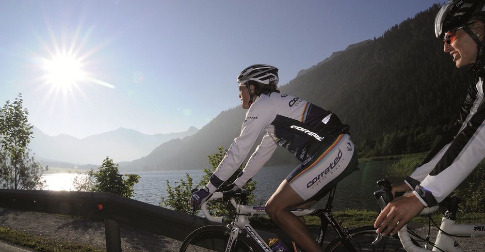
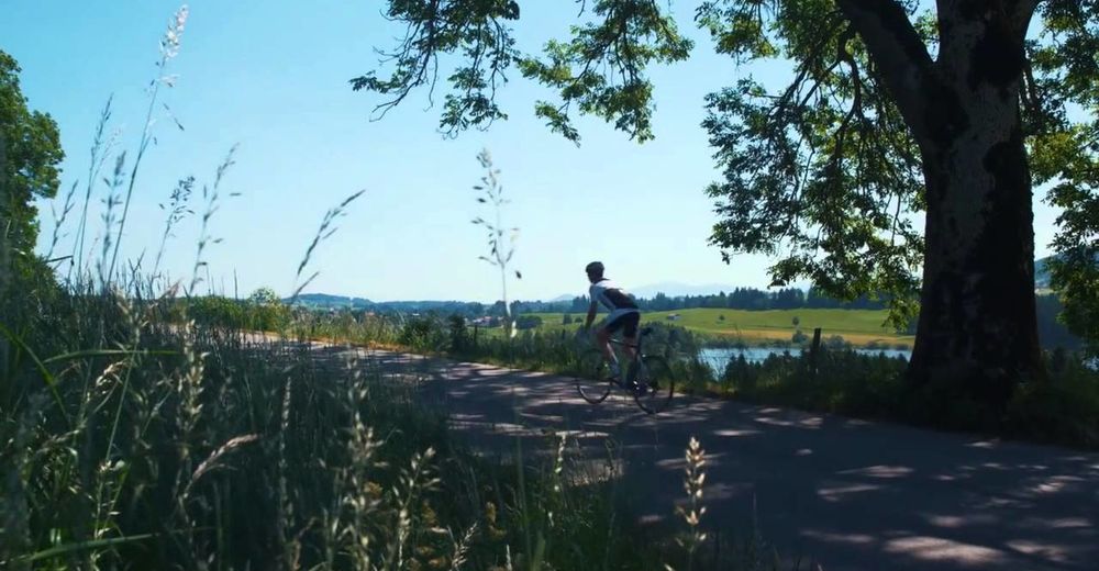
A Roadbike is recommended.
Every participant rides at his/her own risk.
- Safety instructions
-
Traffic regulations (StVO) must be adhered to at all times.
- Directions
-
The quickest and easiest and toll-free route to the Tannheim Valley by car leads via the A7 highway. Turn off at Exit "Oy-Mittelberg", turn right and follow the signs along state road B 310 heading toward Wertach/Oberjoch for ca. 15 kilometers. In Oberjoch turn left into the Tannheim Valley.
- Public transportation
-
Train stations in Germany are: Sonthofen (24 km, bus transfer) Pfronten/Ried (16 km, bus transfer) and in Austria at Reutte (24 km with bus connection).
- Parking
-
Parking near the cable car in Tannheim - chargeable


- Author
-
The tour Namlos Tour is used by outdooractive.com provided.