
- Brief description
-
The additional 600 metres in altitude gain of this extension to the lake circuit promise nature and mountain views of the highest order.
- Difficulty
-
medium
- Rating
-
- Starting point
-
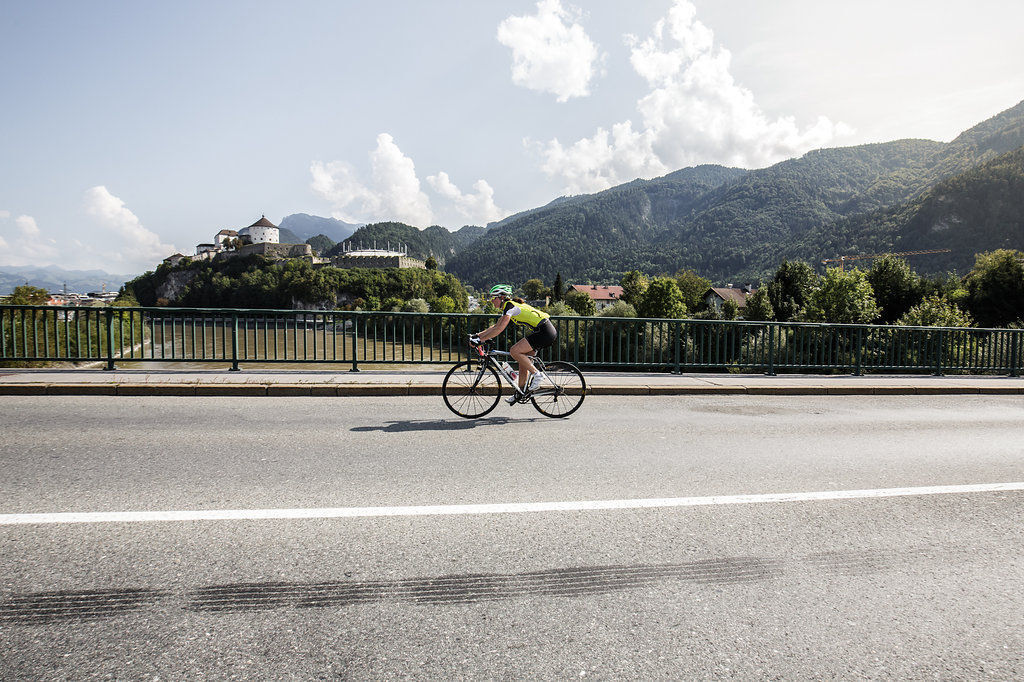
Kufstein city centre
- Route
-
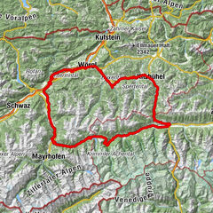
KufsteinZell1.7 kmMorsbach3.0 kmTiroler Fliegerstube5.0 kmSchaftenau (510 m)6.5 kmUnterlangkampfen (502 m)7.7 kmNiederbreitenbach (519 m)9.7 kmGasthof Dampflwirt9.9 kmNotburgakapelle10.0 kmBrand11.8 kmGasthof Kammerhof12.3 kmMariastein12.3 kmWallfahrtskirche Mariastein12.5 kmAngerberg15.5 kmFriedenskapelle16.1 kmDorf16.1 kmDorfer Kapelle16.7 kmGlatzham (644 m)17.9 kmGattererkapelle19.9 kmKleinsöll (592 m)19.9 kmGasthaus Krämerwirt20.0 kmStrass (552 m)21.0 kmKriegerdenkmal21.5 kmBreitenbach am Inn21.7 kmPfarrkirche Sankt Petrus21.7 kmAusserdorf22.4 kmAntoniuskapelle23.6 kmHaus (576 m)25.2 kmMoosenkapelle zum Heiligen Josef26.9 kmMoosen27.2 kmMosen (582 m)27.2 kmSeerose28.7 kmFischerstube28.7 kmGenuss Schmied'n Stadlerhof29.5 kmEbnat30.8 kmBrandenberg37.0 kmAscherwirt37.0 kmHeiliger Georg37.0 kmNeuwirt37.1 kmHachakapelle41.2 kmNeue Kapelle Pinegg43.4 kmGasthof Gwercherwirt43.5 kmPinegg43.7 kmKapelle Pinegg43.8 kmAschau45.6 kmWallfahrtskirche (Basilika) Hl.Dominikus zu Mariathal54.1 kmGasthaus Mariathal54.1 kmMariatal (533 m)54.3 kmRadetzkyweg54.4 kmEbnat54.7 kmAchenrain55.4 kmBergfeld55.8 kmZentrum56.0 kmKuglgasse56.1 kmKramsach56.1 kmDreieckkapelle56.3 kmClaudiaplatz56.3 kmUnterkramsach56.5 kmBadl56.9 kmRattenberg57.3 kmRadfeld58.4 kmBreitenbach am Inn64.7 kmLiesfeld67.0 kmWörgl (513 m)72.2 kmSchlöglhofkapelle74.3 kmAngath74.9 kmKastengstatt (504 m)75.3 kmKirchbichl76.8 kmPfarrkirche Maria Himmelfahrt77.3 kmSchroll Tenne77.4 kmBichlwang (518 m)78.6 kmBad Häring80.5 kmPfarrkirche Heiliger Johannes der Täufer80.6 kmOsterndorf81.0 kmLourdeskapelle81.1 kmHabring82.2 kmSonnendorf84.1 kmBierol Taproom & Restaurant84.1 kmSchwoich85.0 kmKirchenwirt85.0 kmNeuwirt85.1 kmPfarrkirche Heiliger Ägidius85.1 kmMoosham85.5 kmAm Bach86.1 kmRied86.4 kmRussland87.1 kmEndach89.0 kmKufstein90.7 km
- Best season
-
JanFebMarAprMayJunJulAugSepOctNovDec
- Description
-
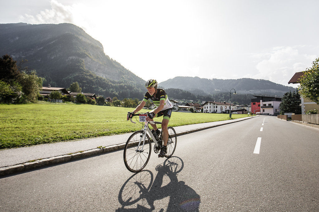
This extension lends itself perfectly to make the lake circuit even more intense - because here you'll take the climbing sections with you to Brandenberg. To this end, in Kramsach take the way to Mariatal right of the Brandenberger Ache River. Past Unterberg you'll get to Pinegg, cross the river and past Rohregg back to Kramsach. The picturesque Brandenbergtal valley with only light traffic rewards with beautiful views into the Whitewater gorge on this mountainous circuit, as well as of neighbouring Zillertal Alps. With even more kilometres in your calves, this return leg (see route 1 lake circuit) downriver along the Inn is a relaxed finish to this tour.
- Highest point
- 958 m
- Endpoint
-
Kufstein city centre
- Height profile
-

- Equipment
-
Cycling helmet, comfortable cycling clothes, change of clothes, wind protection, cycling gloves, possibly rucksack with water bottle and food, first aid kit, possibly service/repair kit, cycling map, tour description and information material (GPX track), ID, insurance card, cash.
- Directions
-
From the Inntal motorway A12 take the Kufstein Nord exit.
- Public transportation
-
Kufstein main station is only a few minutes' walk from the starting point.
- Parking
-
Kufstein centre
- Author
-
The tour 01A - Lake circuit - Brandenberg variant is used by outdooractive.com provided.