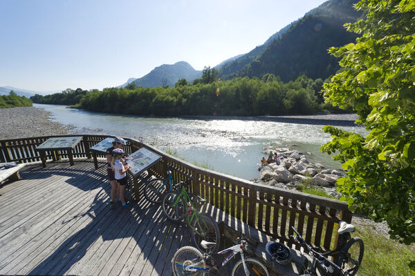
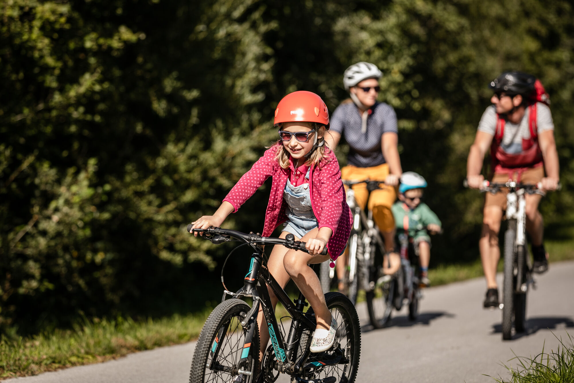
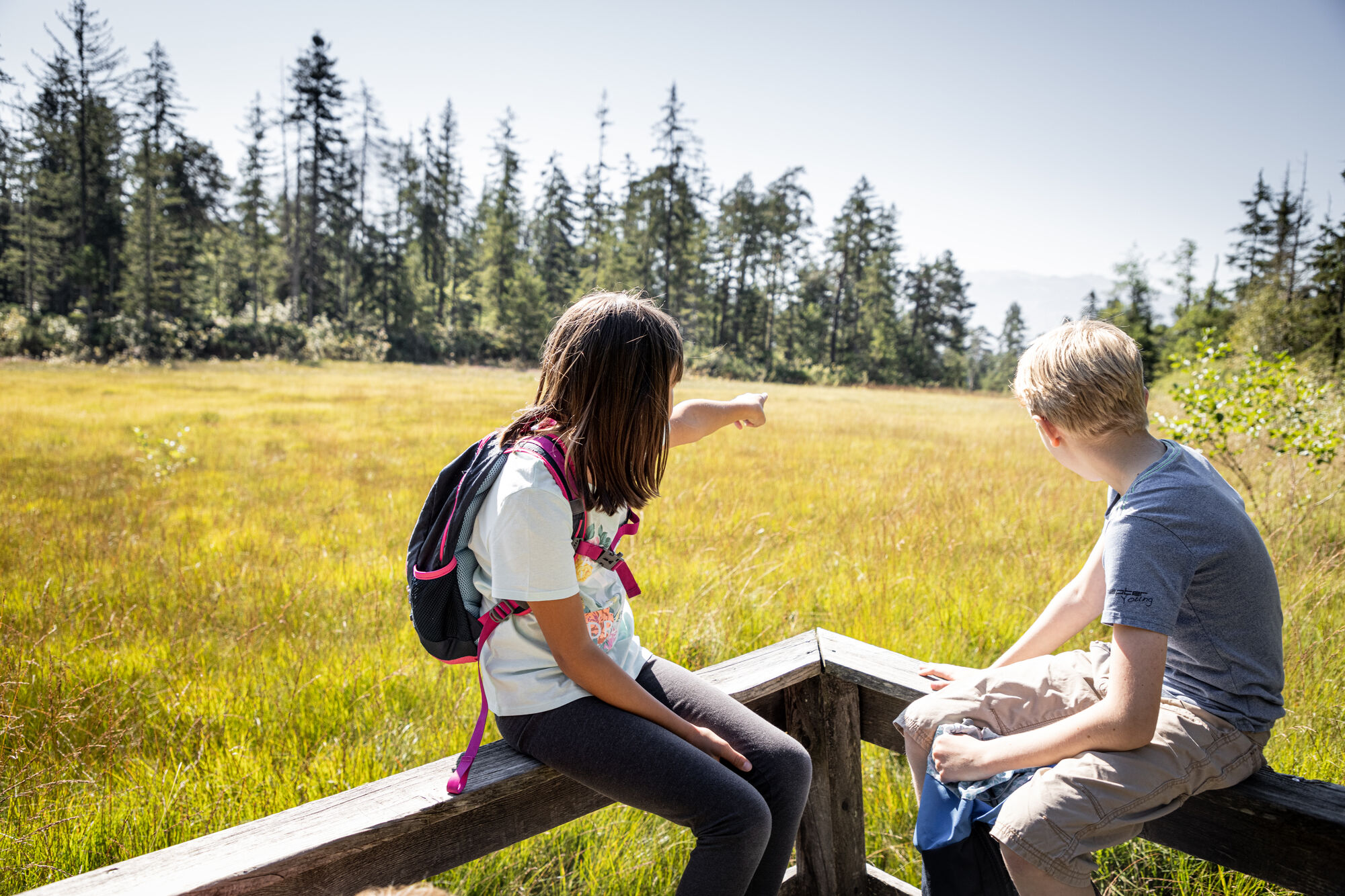
St. Johann in Tirol: Radweg Hinterkaiser - Rettenbach ins 'Moor & more'

Cycling

© MirjaGeh.com - www.MirjaGeh.com

MirjaGeh.com

MirjaGeh.com
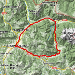
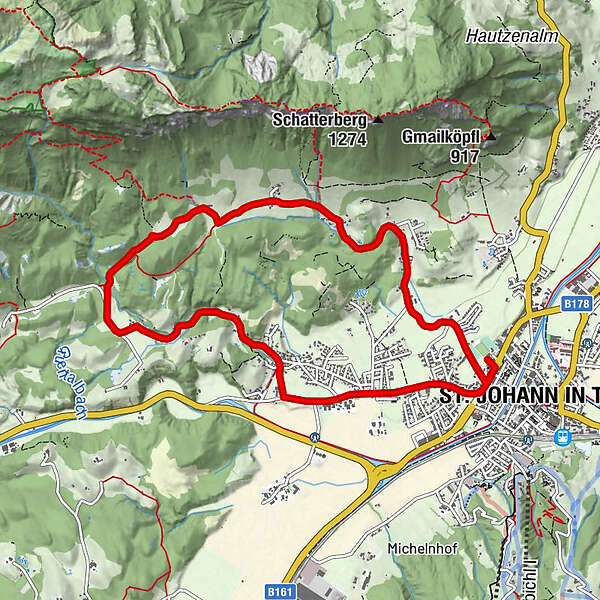
Tour data
9.8km
656
- 816m
120hm
121hm
01:00h
- Brief description
-
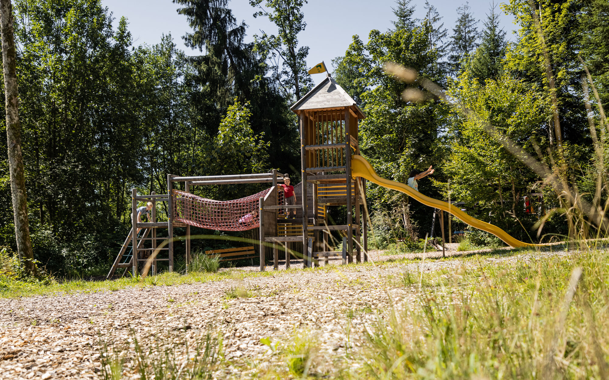
Mittelschwere Familienradtour aber es lockt viel Spass im Moor & more
- Rating
-
- Starting point
-
St. Johann in Tirol Koasastadion
- Route
-
St. Johann in Tirol0.2 kmBarbara Kapelle1.7 kmHinterkaiser1.9 kmHinterkaiser2.7 kmMarterl2.9 kmRummlerhof3.3 kmWindhag3.6 kmMaurer4.0 kmUlmbichl7.2 kmRettenbach7.4 kmWeitau8.4 kmSt. Johann in Tirol9.5 km
- Best season
-
JanFebMarAprMayJunJulAugSepOctNovDec
- Highest point
- 816 m
- Rest/Retreat
-
Gasthof Rummlerhof
- Ticket material
-
In allen Infobüros der Region: St. Johann in Tirol - Oberndorf - Kirchdorf
- Source
- Tourismusverband Kitzbüheler Alpen St. Johann in Tirol
GPS Downloads


Surfaces
Asphalt
Gravel
Forest
Mountain paths
Single trails
Trial
Traffic
Other tours in the regions