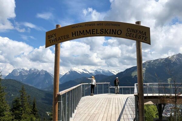


- Brief description
-
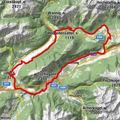
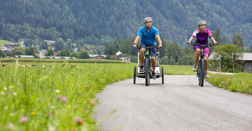
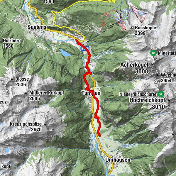
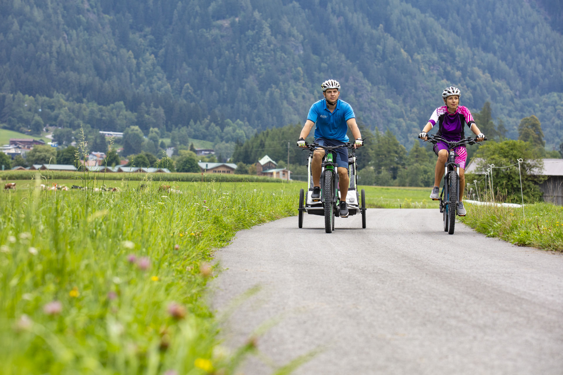
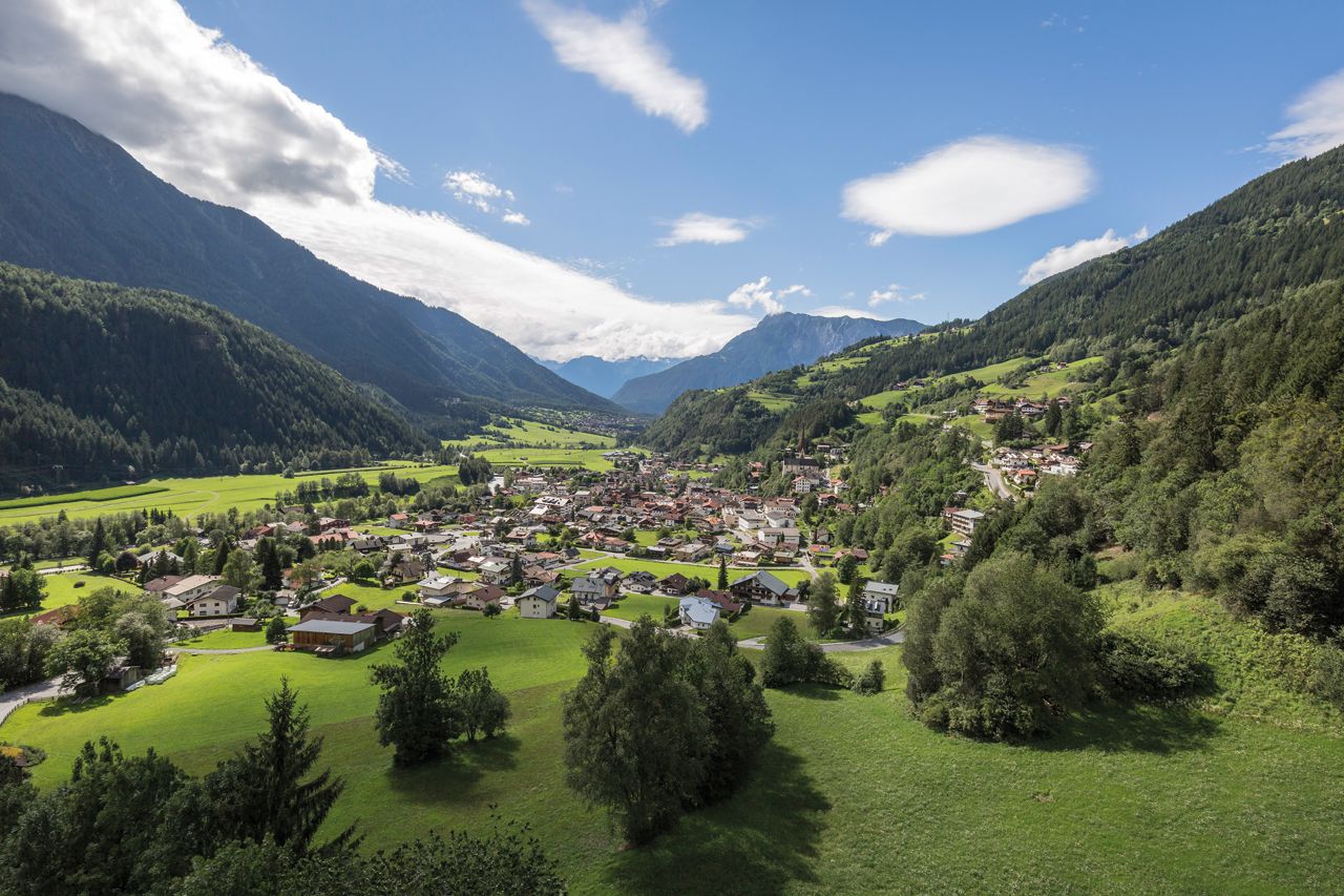
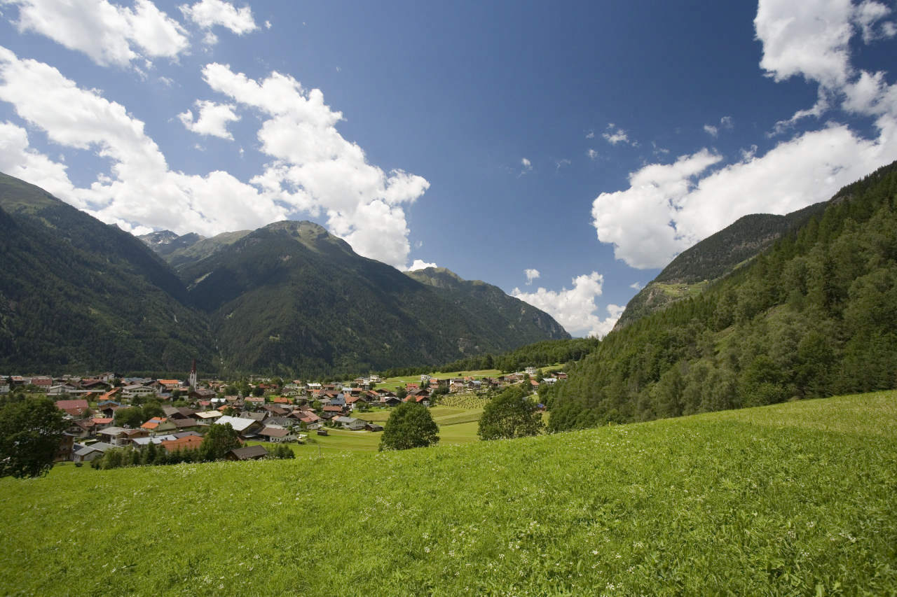
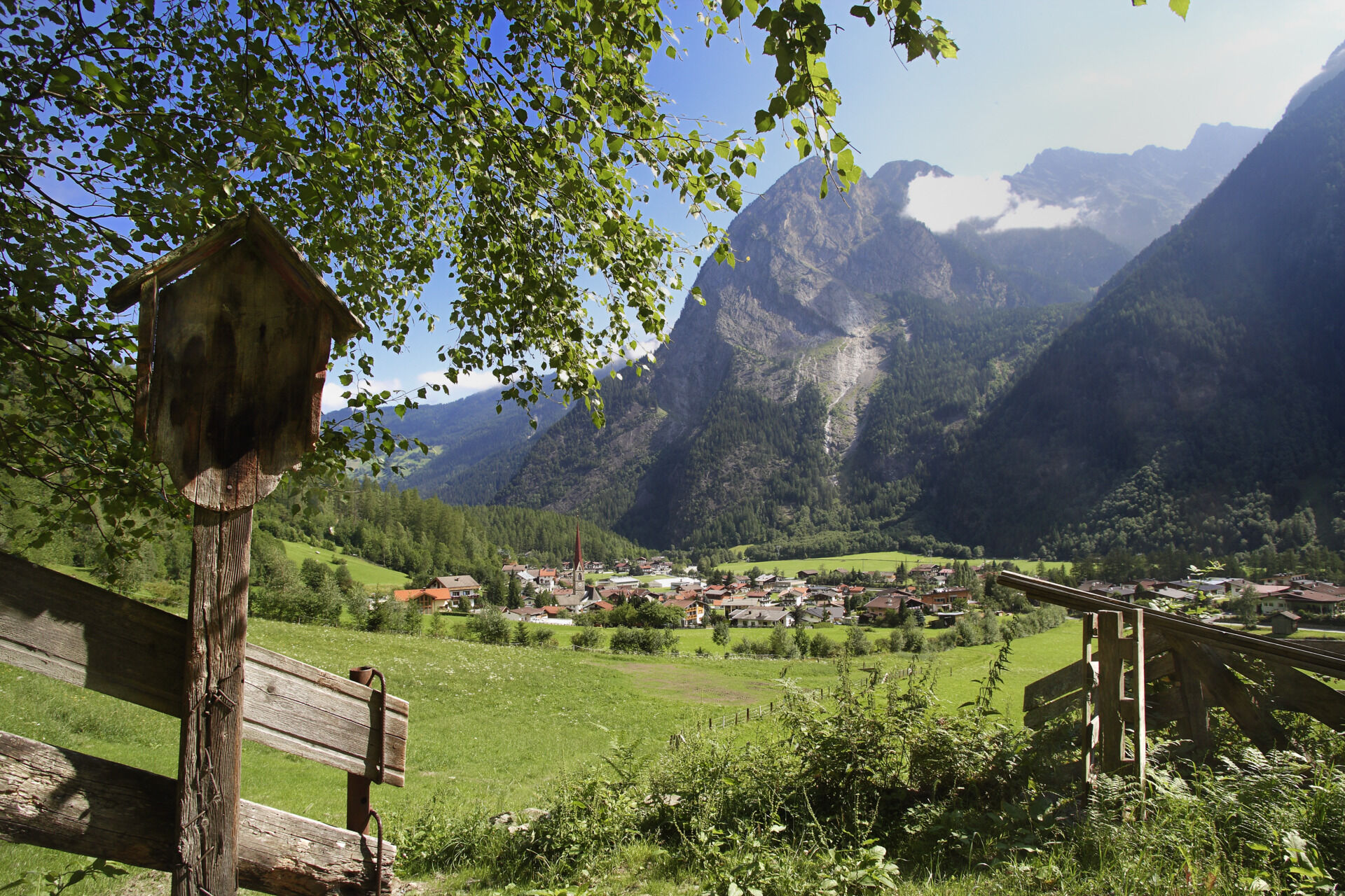
The second stage of the Ötztal Cycling Path (52 km) starts in Oetz and ends in Umhausen. 10 km long and one, two ascents are waiting for you. It's worth it! This stage passes by hidden places and small villages.
- Difficulty
-
medium
- Rating
-
- Starting point
-
Oetz
- Route
-
Oetz (812 m)Habichen1.5 kmTumpen4.8 kmÖsten6.6 km
- Best season
-
JanFebMarAprMayJunJulAugSepOctNovDec
- Description
-
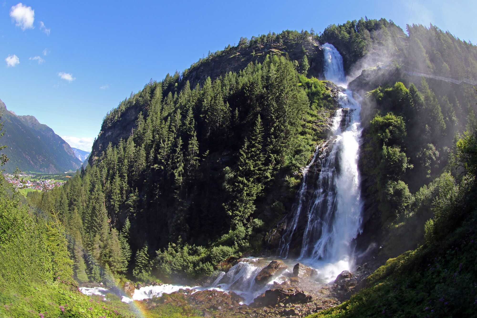
At the end of Oetz you continue along the Ötztal federal road. Just before Tumpen you conquer a strenuous ascent. The cycle path changes from asphalt to gravel (in the second turn) and takes you through a small forest to Tumpen. Here the cycle path changes to the eastern side of the valley, following a quite easy ascent past Engelswand rock face and towards Umhausen.
- Directions
-
At the end of Oetz you continue along the Ötztal federal road. Just before Tumpen you conquer a strenuous ascent. The cycle path changes from asphalt to gravel (in the second turn) and takes you through a small forest to Tumpen. Here the cycle path changes to the eastern side of the valley, following a quite easy ascent past Engelswand rock face and towards Umhausen.
- Highest point
- 967 m
- Endpoint
-
Umhausen
- Height profile
-

- Equipment
-
Appropriate Equipment Rules! We strongly recommend to wear protective bike gear on all Cycle & Mountain Bike Routes within Ötztal Valley. Always take enough water with you!
- Safety instructions
-
The Ötztal Cycle Trail features some demanding ascents and is suitable for bikers in a good physical shape.
The cycle path crisscrosses the Ötztal federal road several times.
- Tips
-
We strongly recommend to follow the route of the Ötztal Cycle Trail, otherwise you have to follow longer stretches on the busy Ötztal federal road.
- Additional information
- Directions
- Public transportation
- Parking
-
The following parking facilities are available in Oetz:
- Parking Acherkogelbahn - free for guests of the gondola lift, camping prohibited
- Parking lot Raftingeinsteinstelle (at the end of Oetz on the right side) - free, but limited parking (alternatively Acherkogelbahn 150 m), camping prohibited
- Oetz parking area (subject to a charge)
- Parking at night during several days' tours: Central parking place Oetz, The ticket is available at the information office Oetz.
- Author
-
The tour Ötztal Cycling Path Stage 2: Oetz - Umhausen is used by outdooractive.com provided.