Tour data
22.61km
545
- 574m
16hm
01:15h
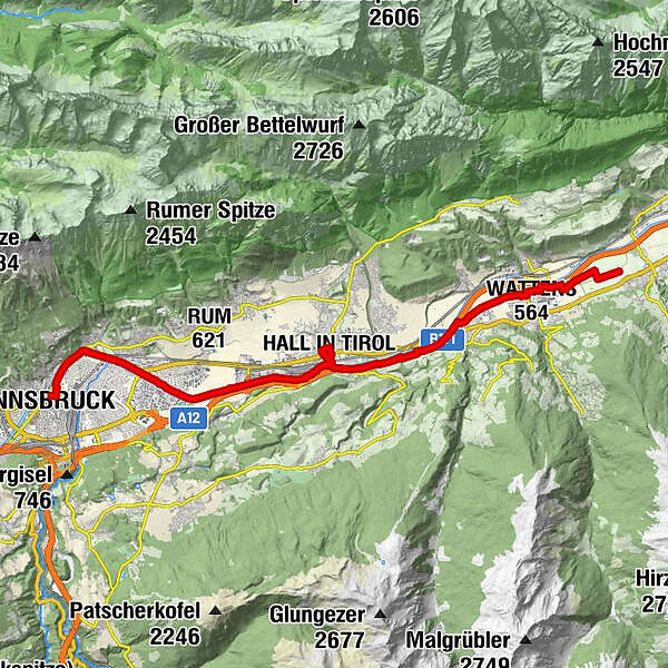
- Rating
-
- Route
-
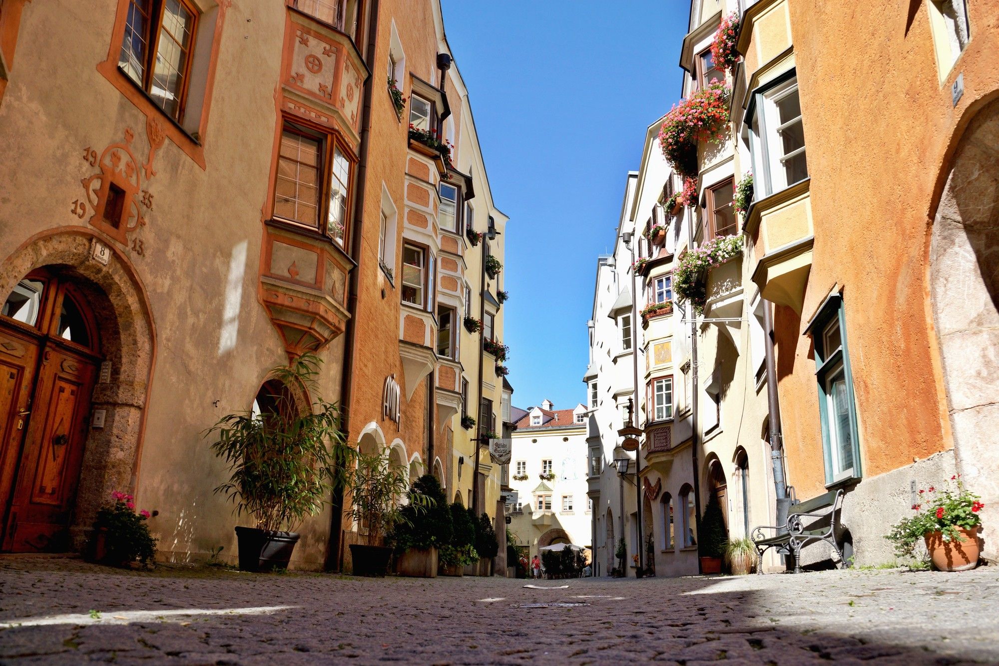
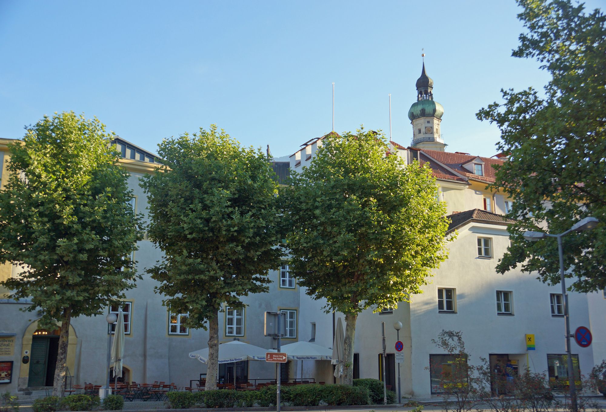
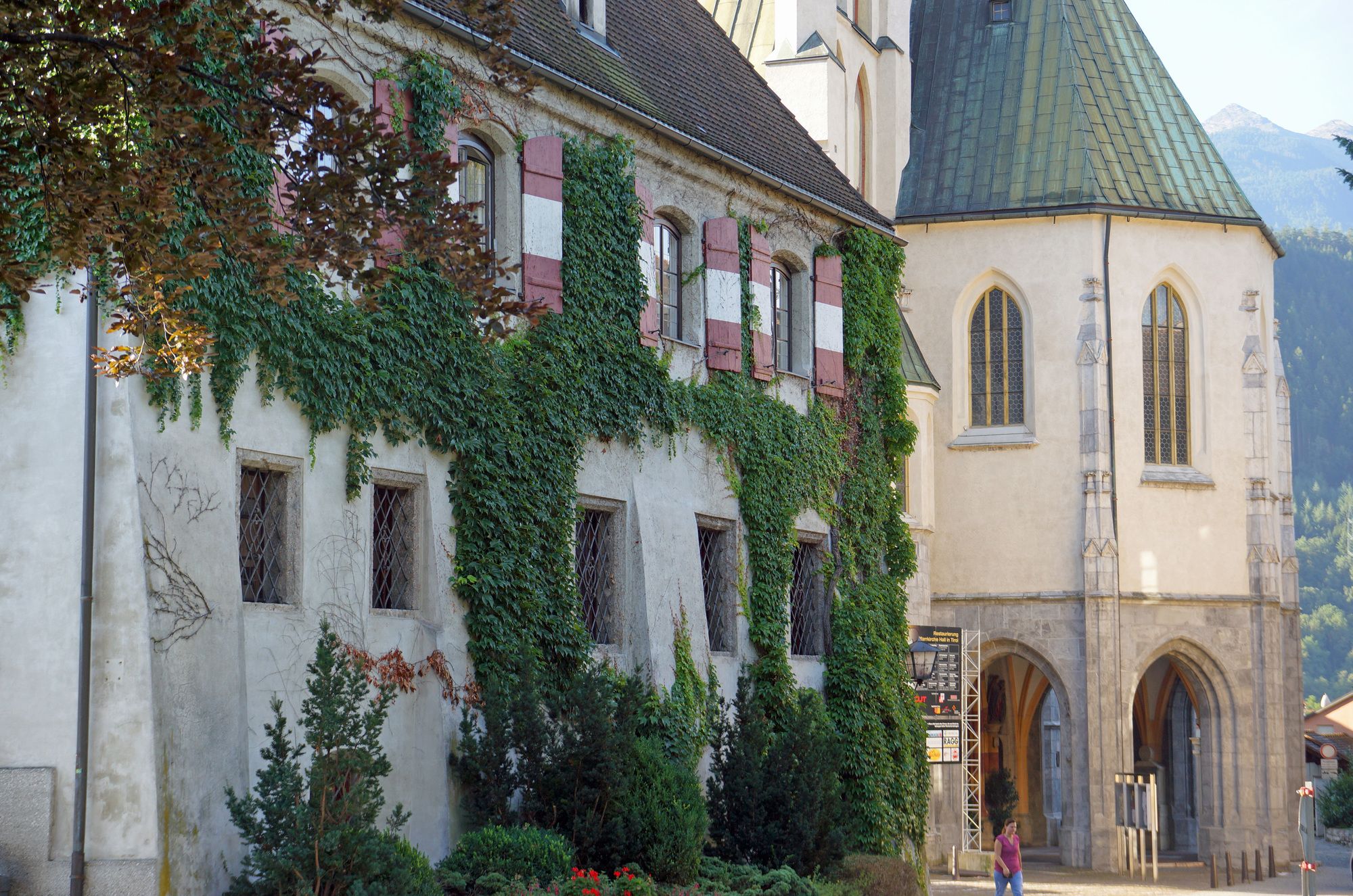
Wattens (564 m)2.9 kmVolders (558 m)5.2 kmGeorgskapelle10.9 kmHall in Tirol (574 m)10.9 kmJosefskirche11.2 kmPfarrkirche St. Nikolaus11.3 kmSalvatorkirche11.5 kmJohanneskapelle11.8 kmOtto Neururer Kapelle17.7 kmOlympisches Dorf17.7 kmSt. Nikolaus21.9 kmCongress (569 m)22.1 kmSilberne Kapelle22.4 kmCourt Church22.4 kmInnsbruck (574 m)22.4 kmAltstadt22.5 km
- Highest point
- 574 m
GPS Downloads


Other tours in the regions