


- Brief description
-
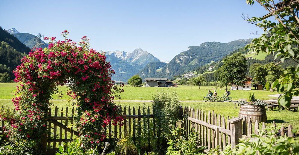
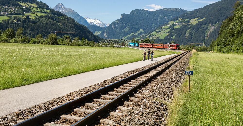
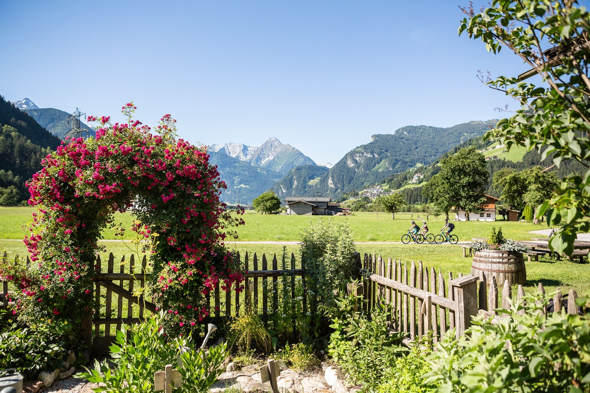
A bike tour through the Zillertal - a really relaxing bike day for young and old.
- Starting point
-
Strass im Zillertal
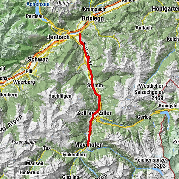
- Route
-
Gagering4.4 kmSt. Léonard de Noblat5.6 kmFinsing9.4 kmRied im Zillertal13.0 kmKaltenbach (558 m)13.9 kmKaltenbach-Stumm im Zillertal (554 m)13.9 kmStumm (556 m)14.2 kmAschau im Zillertal (567 m)17.7 kmAschau im Zillertal (564 m)18.0 kmZellbergeben21.7 kmZell am Ziller (575 m)21.9 kmLaimach24.0 kmRamsau-Hippach (589 m)25.5 kmRamsau im Zillertal25.6 kmHippach25.7 kmBurgstall28.4 kmMayrhofen (633 m)30.1 kmMayrhofen im Zillertal30.2 km
- Best season
-
JanFebMarAprMayJunJulAugSepOctNovDec
- Description
-
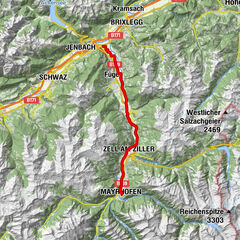
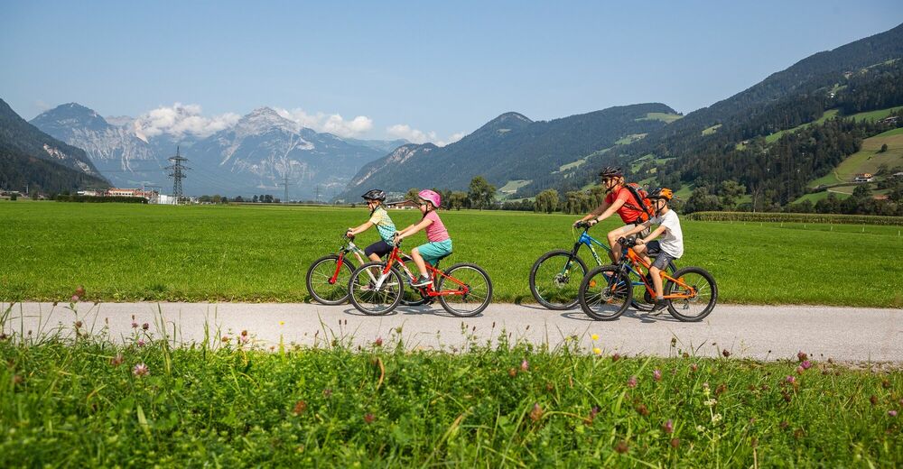
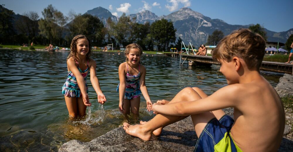
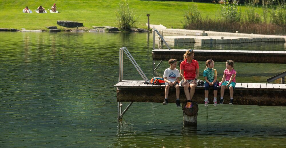
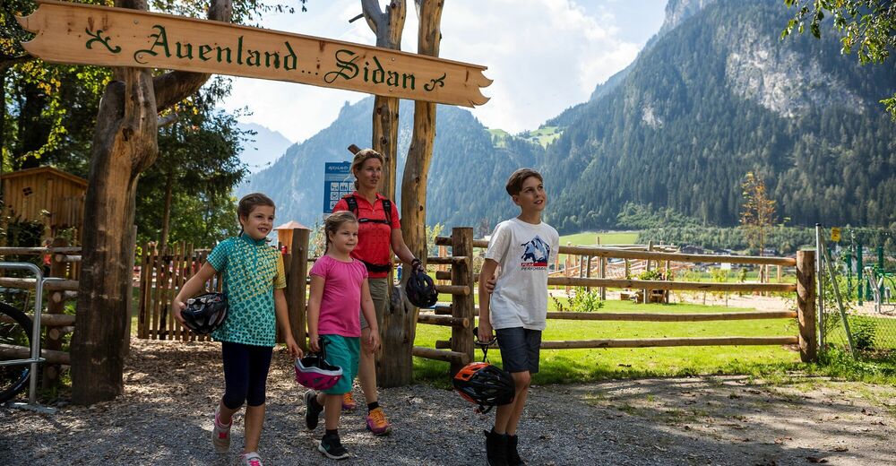
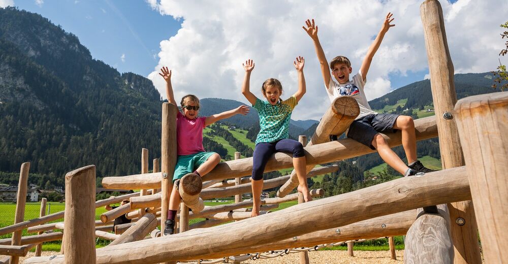
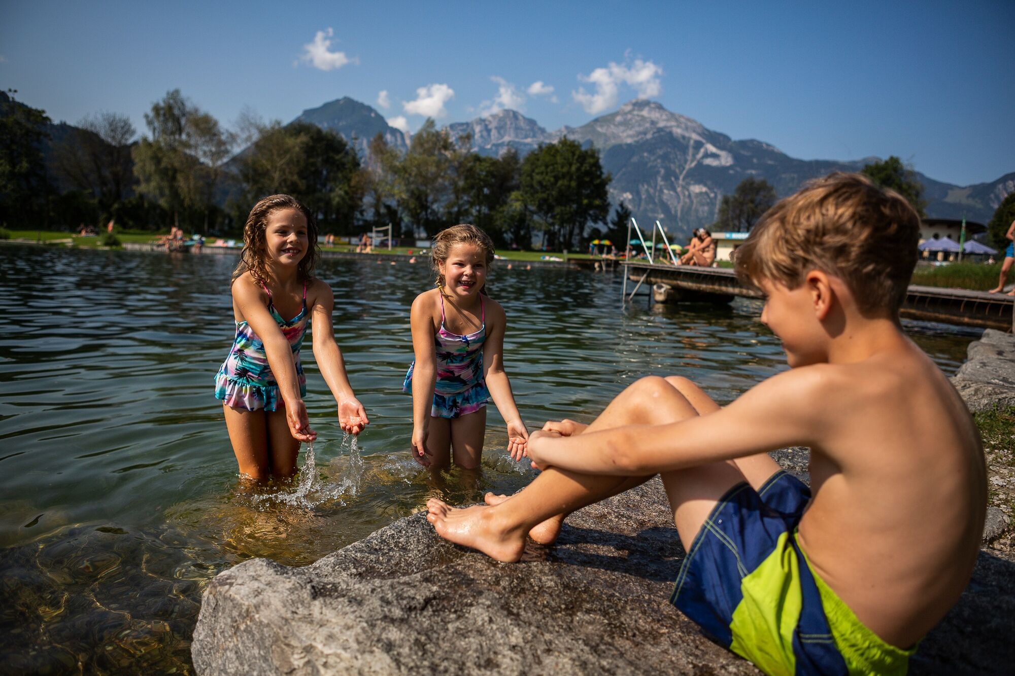
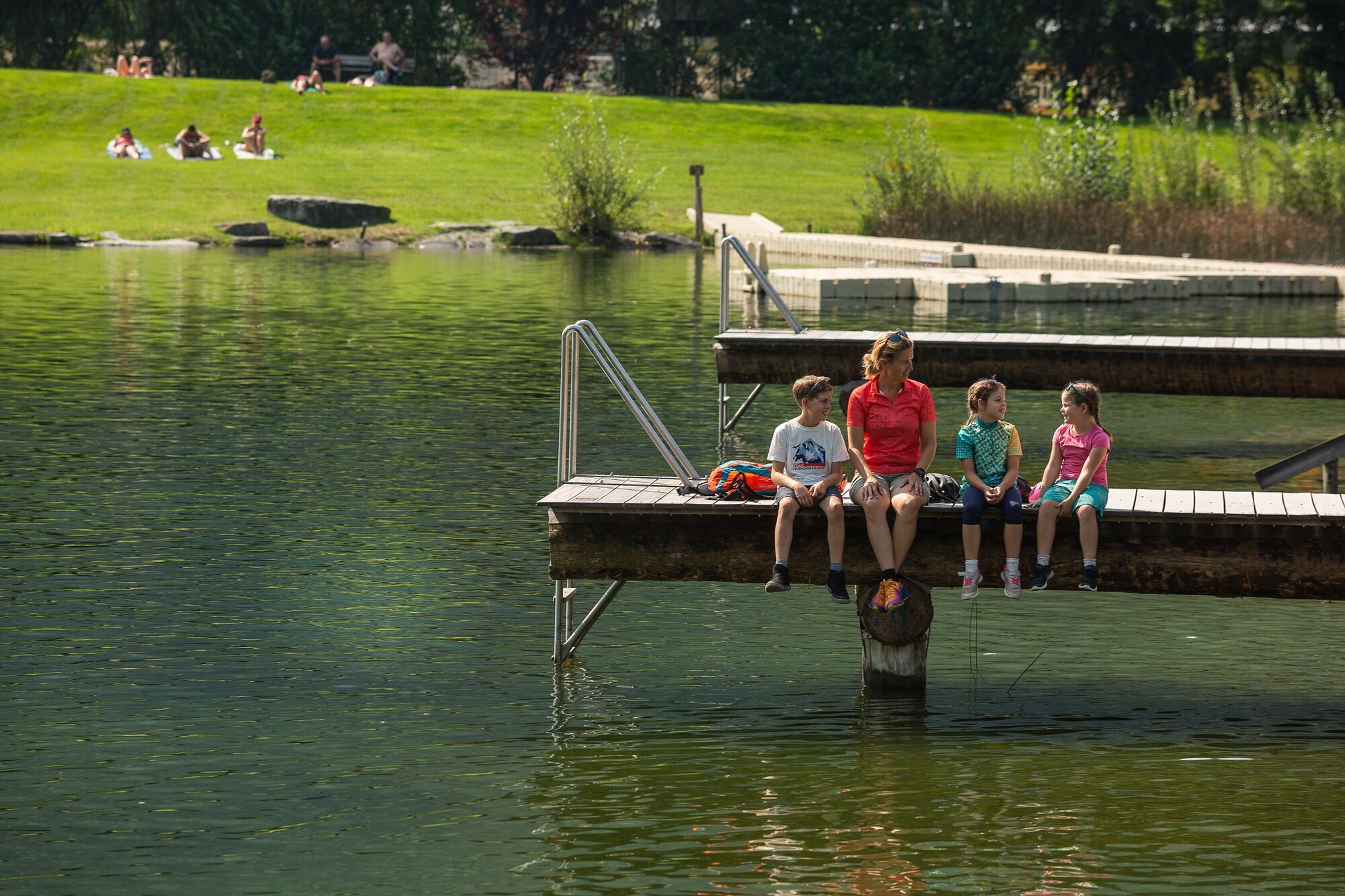
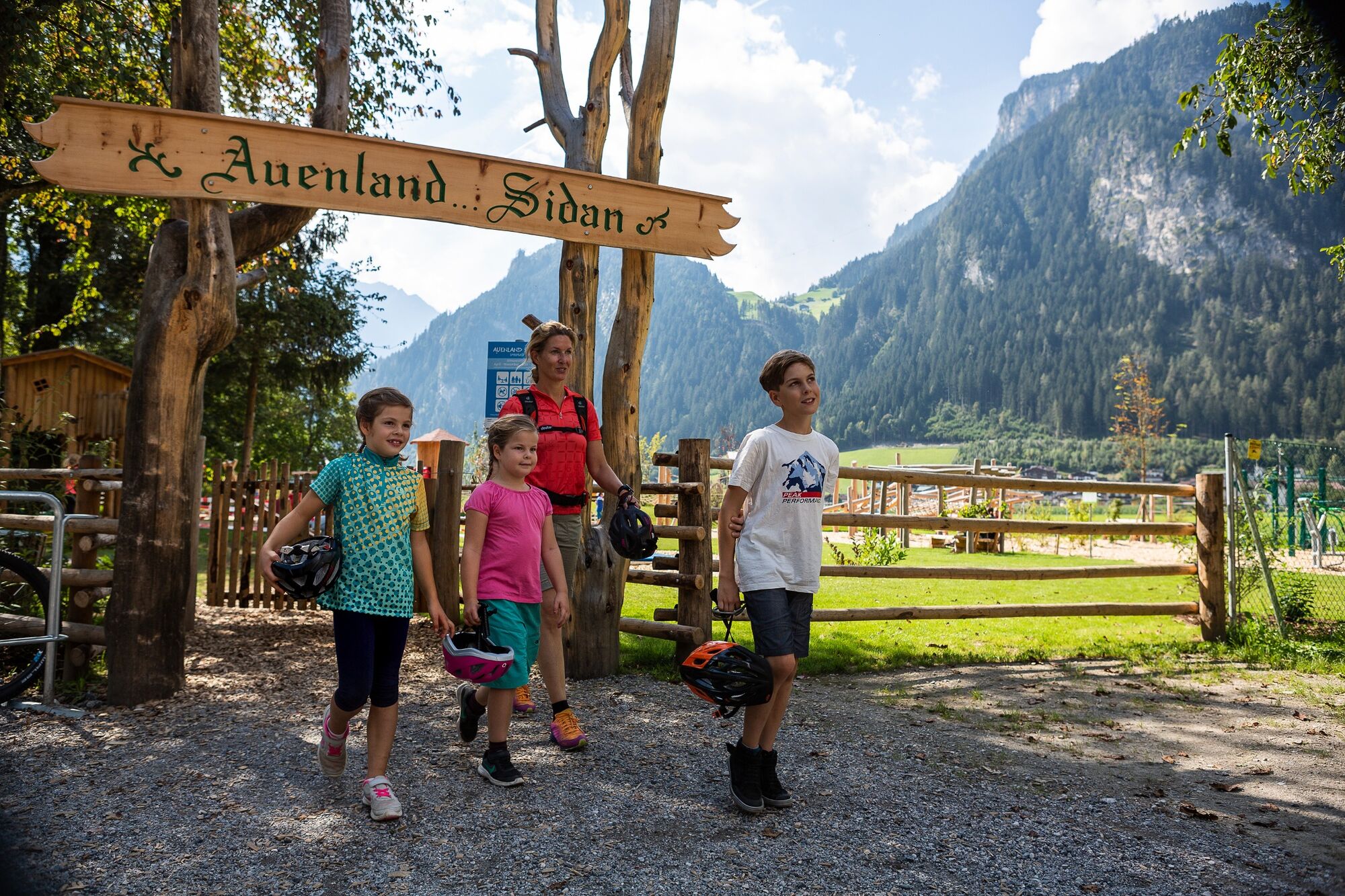
Along the wide, sunny valley floor, the 31 km long Zillertal Cycle Path leads from Strass to Mayrhofen (can also be ridden from Mayrhofen to Strass). The perfect family route to explore the entire Zillertal from the saddle. Directly along the route you will find playgrounds, swimming lakes and refreshment stops.
- Directions
-
Easy, family-friendly route without any notable climbs; from Strass on the left bank of the Ziller to Schlitters, continuing in the wide valley floor via Fügen and Uderns to Kaltenbach; after the underpass of the Zillertal federal highway, the well-marked trail essentially follows the Zillertalbahn. The Zillertalbahn offers bicycle transport. Bike rental (city bikes and e-bikes) is available at the larger train stations in the Zillertal and at several private rental stations.
- Highest point
- 627 m
- Endpoint
-
Mayrhofen
- Height profile
-

- Equipment
-
ou should have the following equipment with you when biking:
Approved and pre-ride inspected mountain bike or e-bike with lights, reflectors and bell.
Cycling shoes, cycling gloves and helmet
Bike backpack
Enough provisions: drinks, preferably water in a refillable water bottle or in a drinking system, at least one meal and snacks like energy bars for in between, also think of a small plastic bag for waste!
Proper clothing, jacket, change of clothes if necessary and possibly rain gear (pay attention to the weather forecast!)
Sun protection: sunscreen, sunglasses and headgear
Cell phone (charged!) with emergency app, ID card, possibly alpine club ID and cash for the huts
First aid kit, blister plasters and handkerchiefs
Repair kit, possibly with spare tube and small pump
Bike lock
The motto is: as much as necessary, as little as possible.
- Safety instructions
-
Information on the current trail conditions can be obtained from the responsible tourism associations by telephone during the respective opening hours. Zillertal Tourism assumes no liability.
- Tips
-
Many attractions await along the way, and a stop in one of the many towns located directly along the cycle path is highly recommended.
- Additional information
-
Information about bike rental, guided tours, bike transport, e-bike charging stations, places to stop for refreshments, details about all routes in the entire Zillertal can be found at www.zillertal.at/biking.
- Directions
-
Arrival by train possible to the international train station JENBACH or continue with the Zillertalbahn to Strass im Zillertal.
- Public transportation
-
Unlimited mobility during your vacation is ensured by the comprehensive transport offer consisting of buses, hiking cabs, summer mountain railroads (depending on the route) and the Zillertalbahn.
The Zillertal Activcard allows you free use of most means of public transport as well as one ascent and descent with a mountain railroad every day. You can find more information on www.zillertal.at/en/activcard
Detailed timetable information can be found at www.zillertal.at/timetables
- Parking
-
Zillertal Tourismus, Bundesstraße 27d, 6262 Schlitters


-

-
AuthorThe tour Zillertal bike trail is used by outdooractive.com provided.


General info
-
Zillertal
33
-
Kaltenbach
8