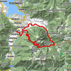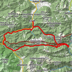

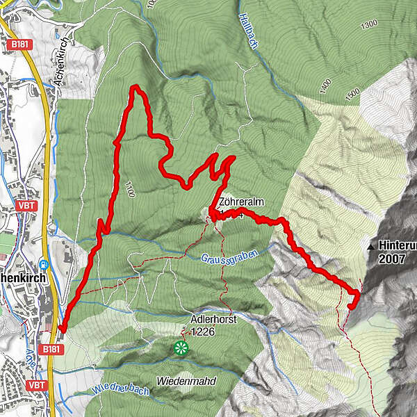
Tour data
7.51km
933
- 1,956m
1,022hm
602hm
03:14h
- Brief description
-
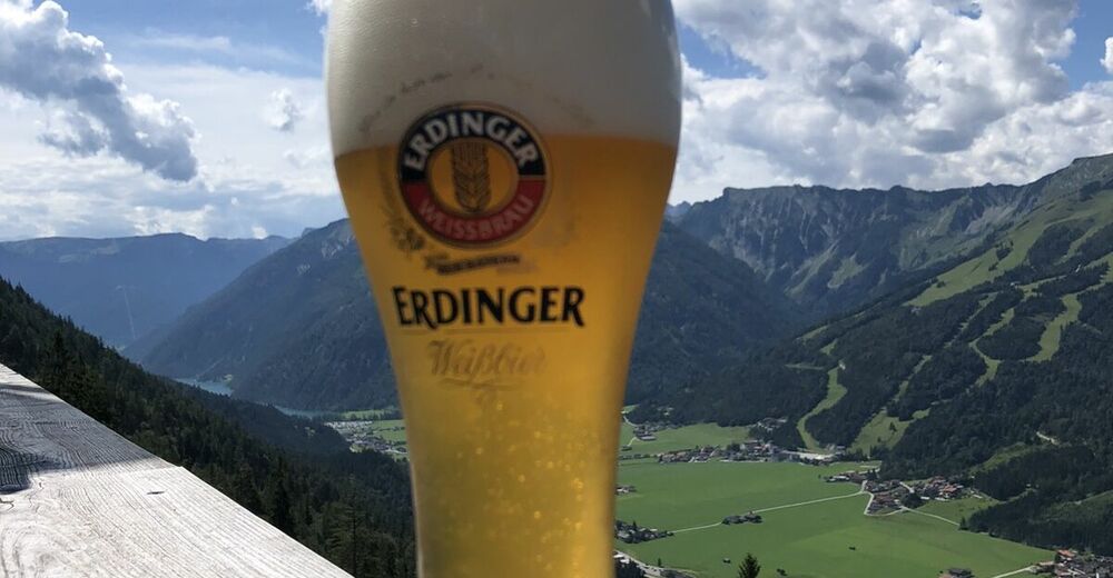
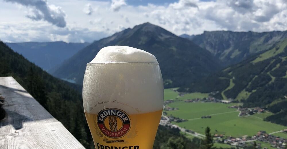
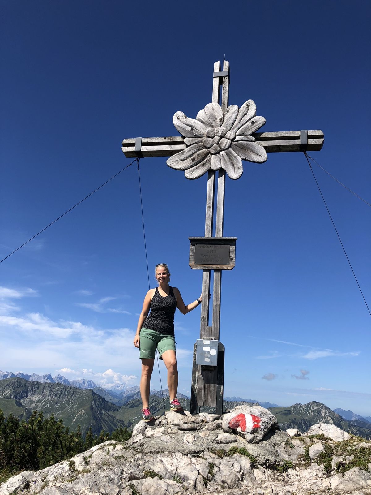
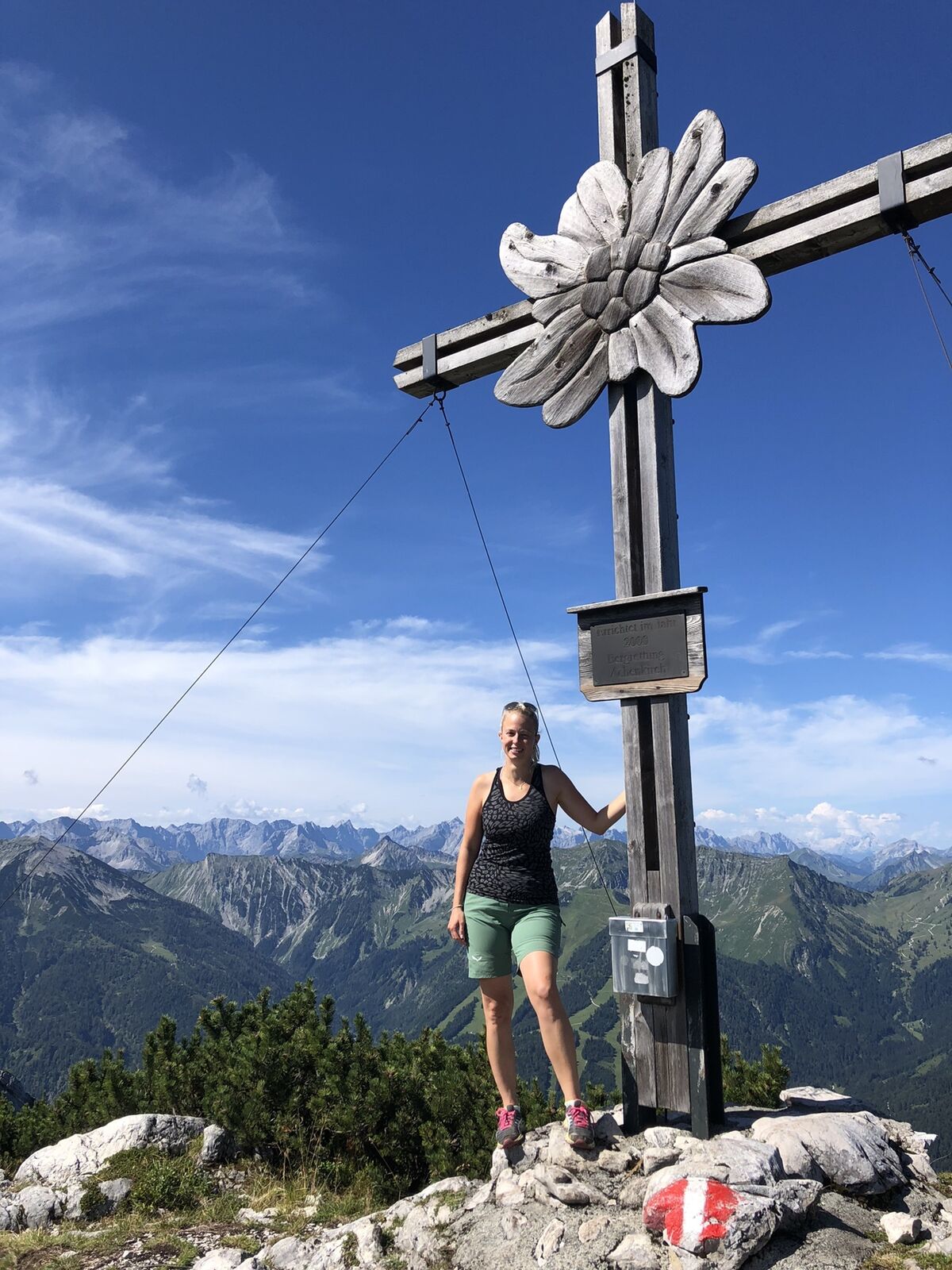
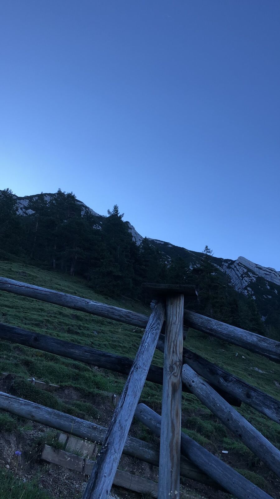
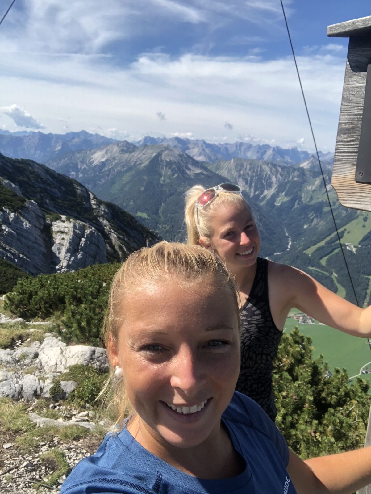
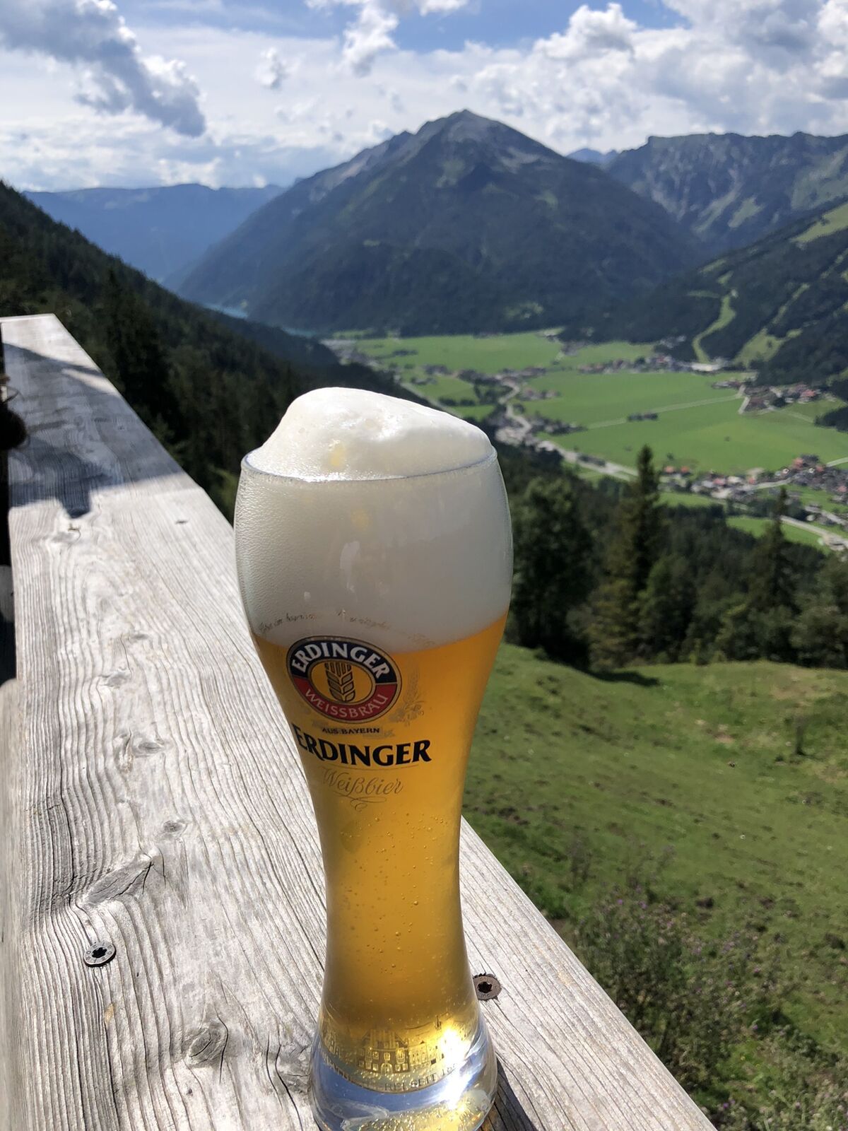
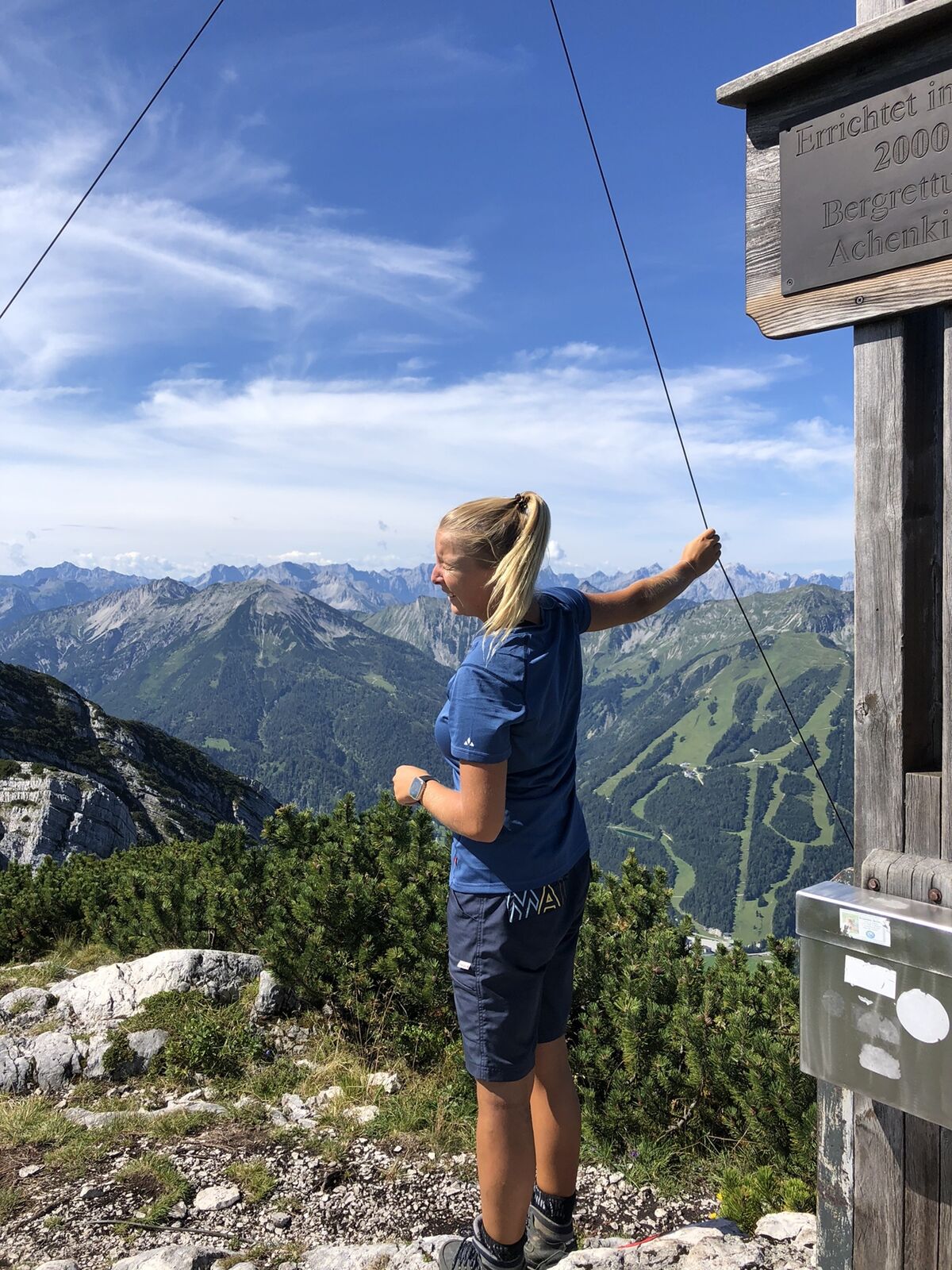
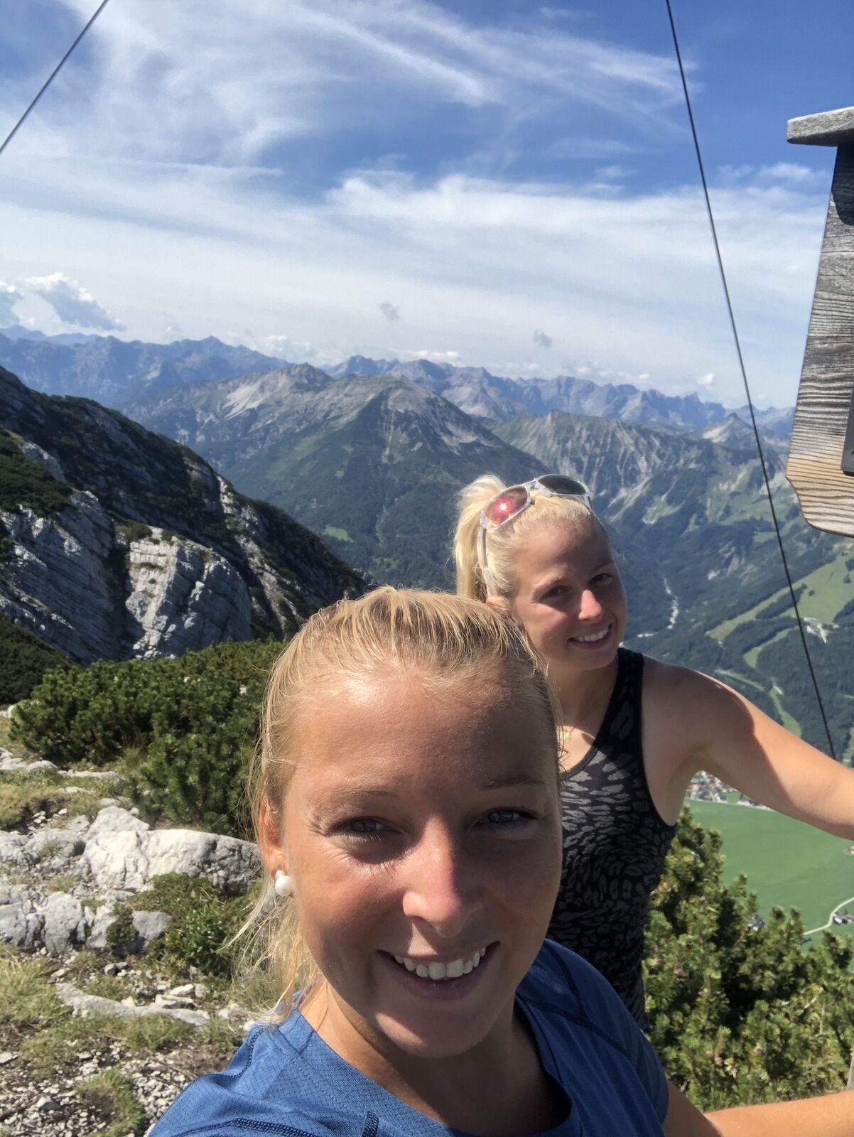
Kurze schöne Tour für abends und morgens
- Difficulty
-
medium
- Rating
-
- Route
-
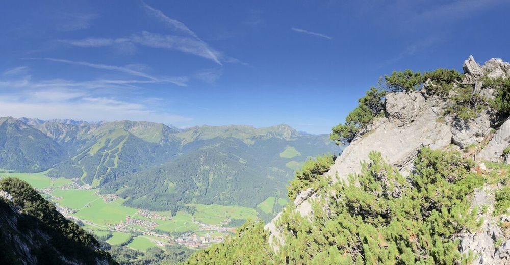
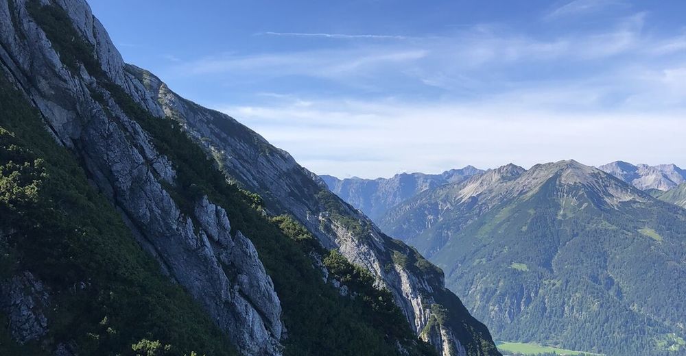
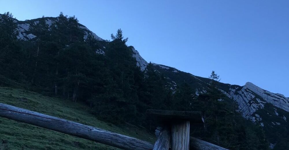
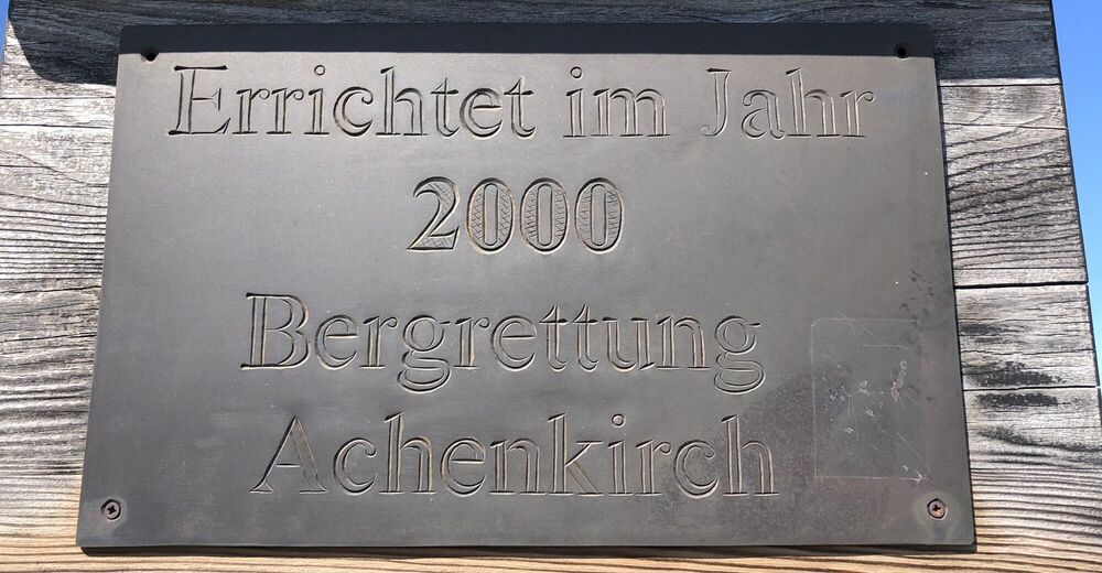
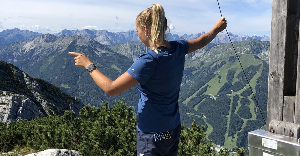
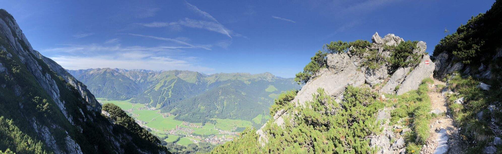
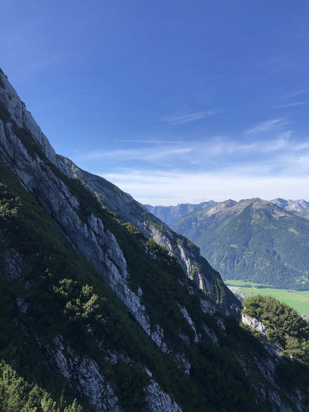
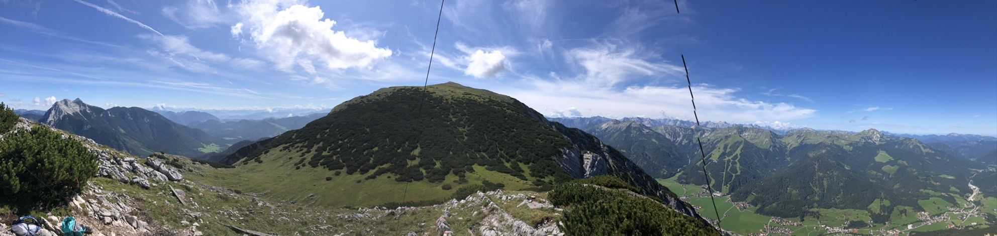
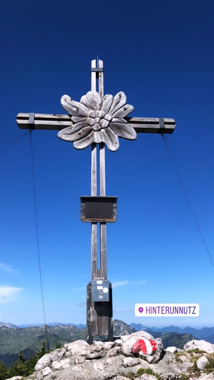
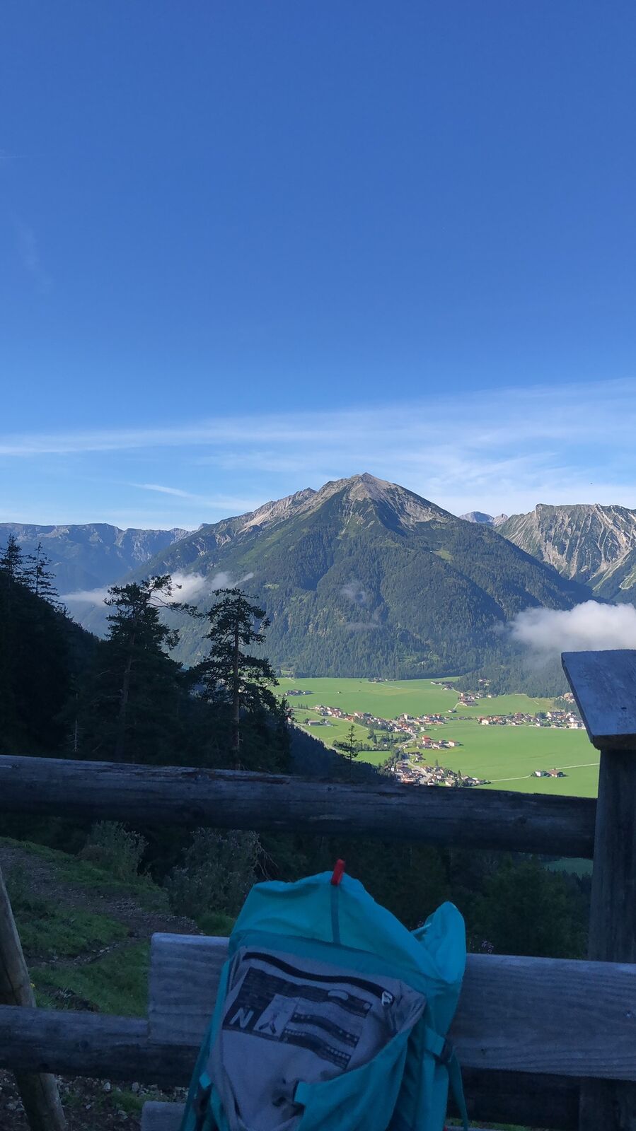
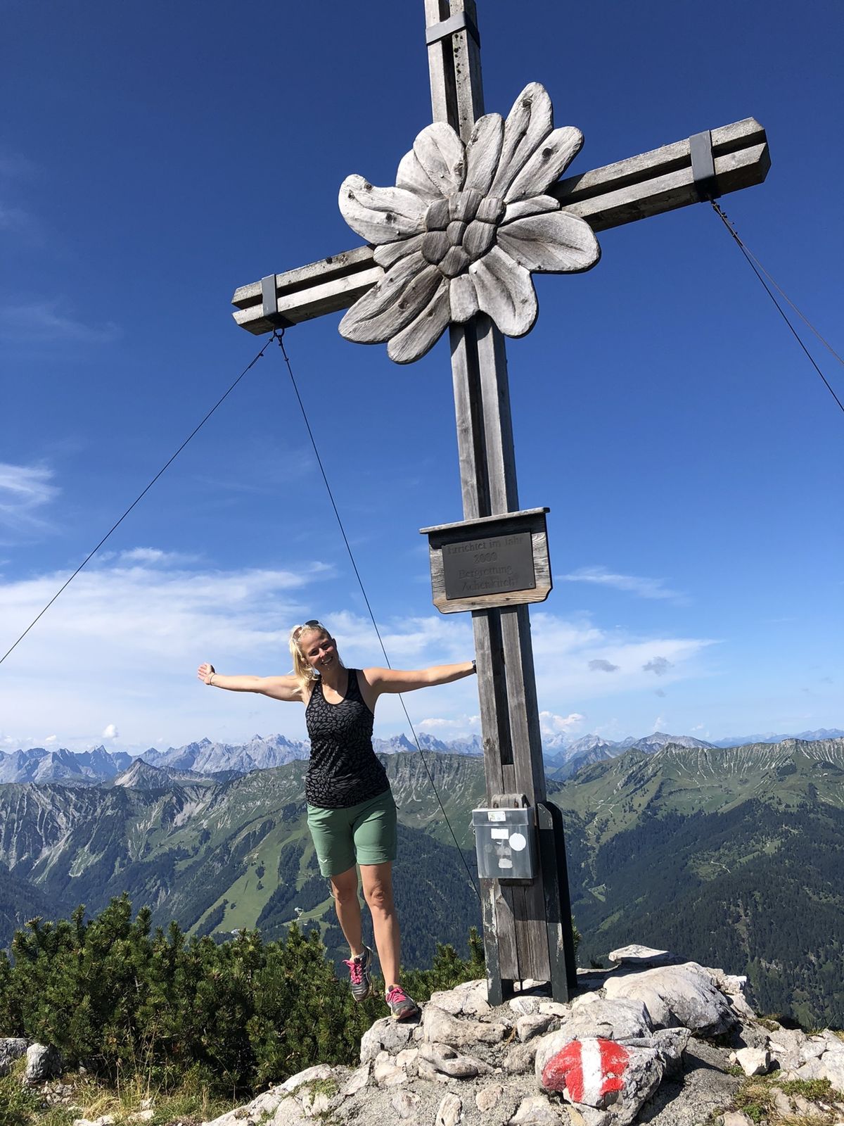
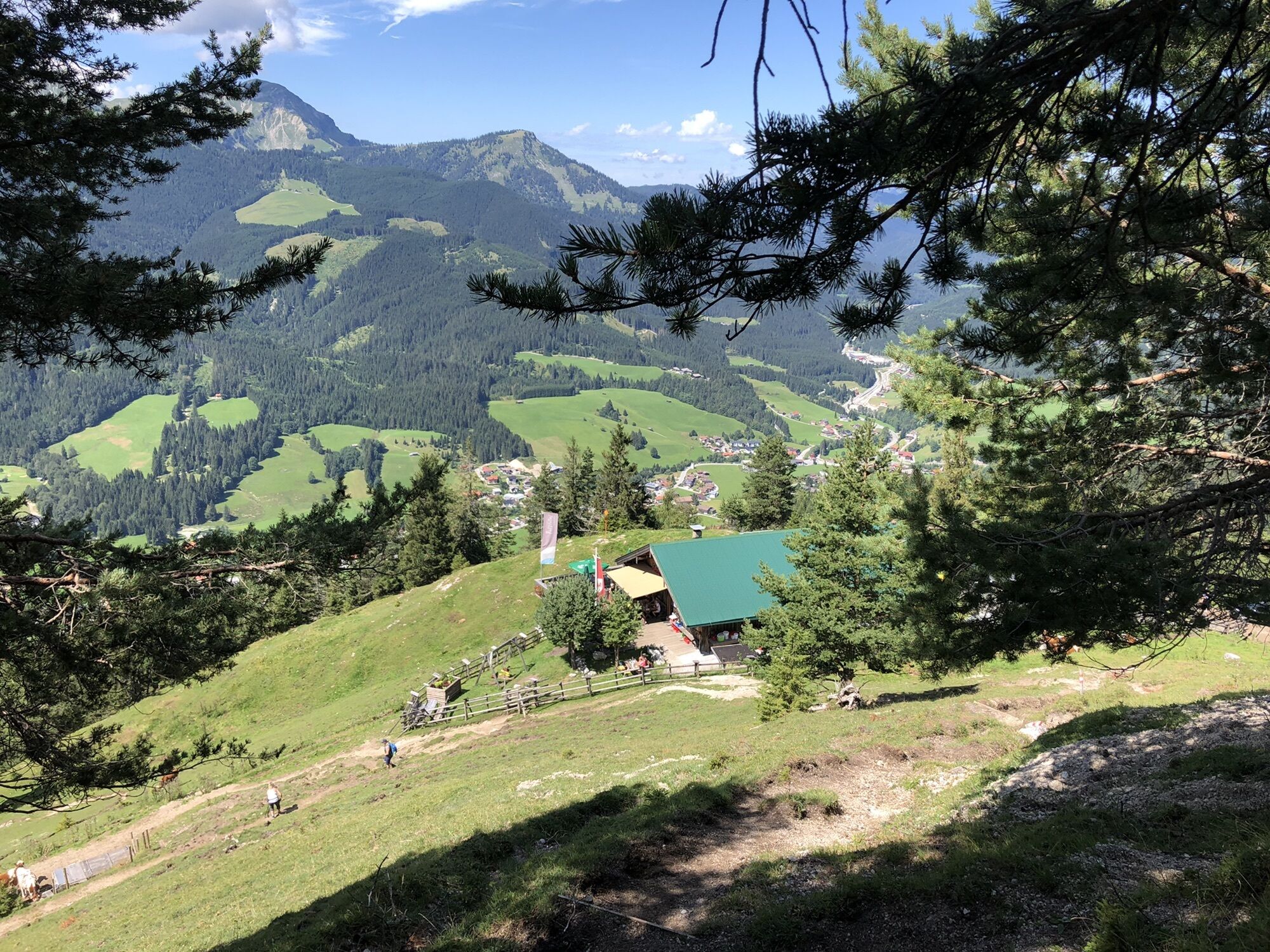
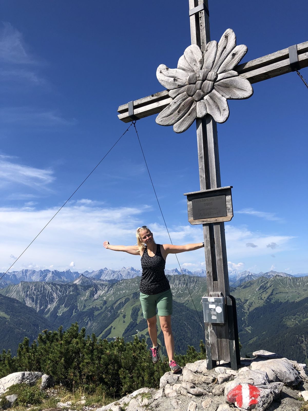
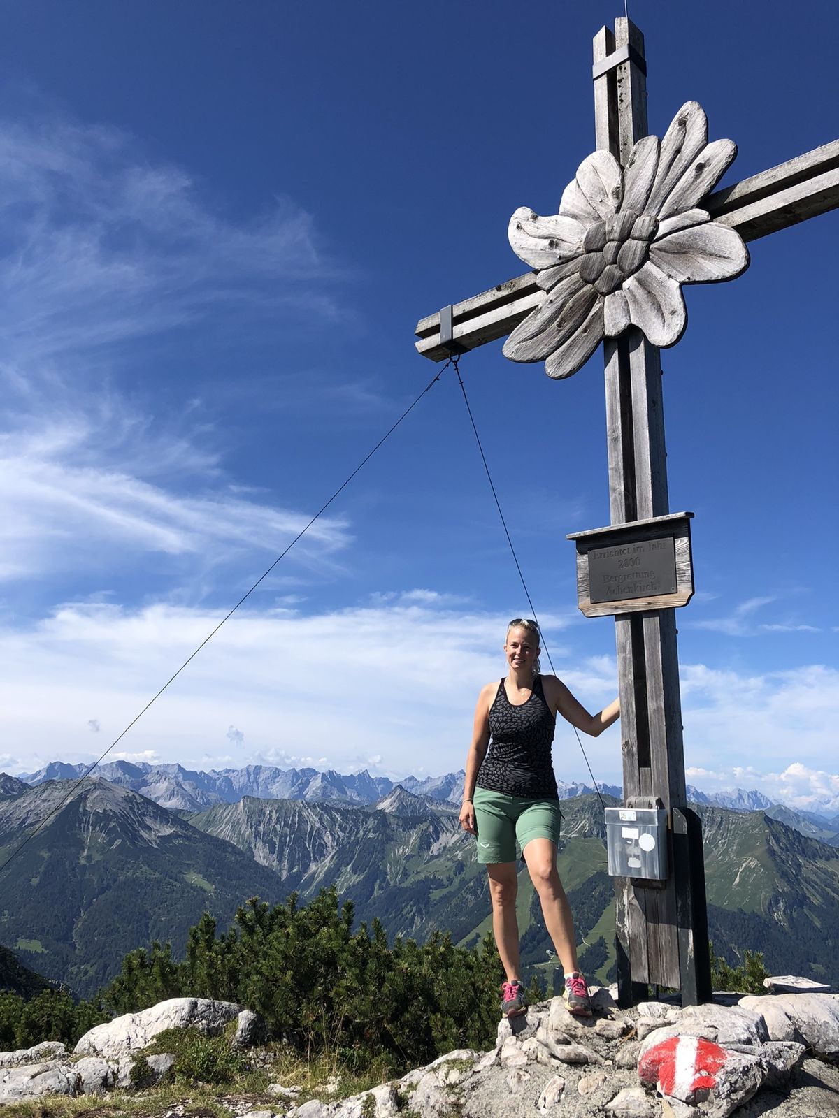
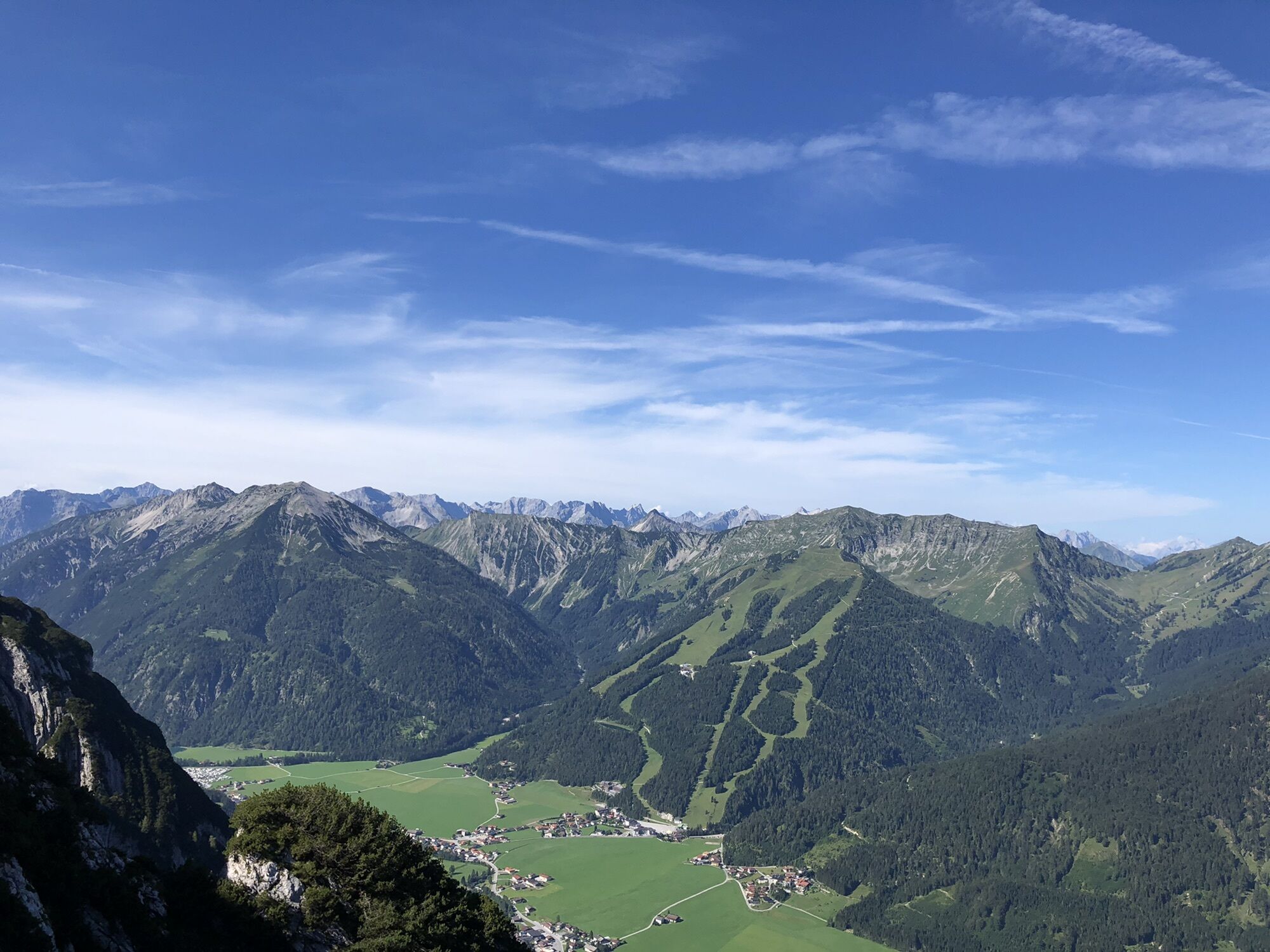
Achenkirch (916 m)0.3 kmZöhrer Alm3.9 kmZöhrer Alm7.5 km
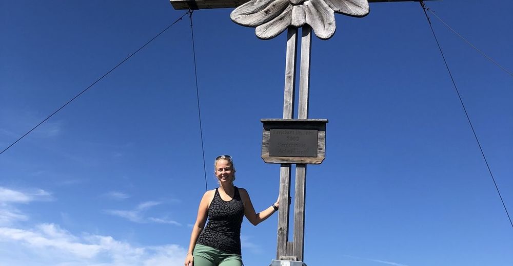
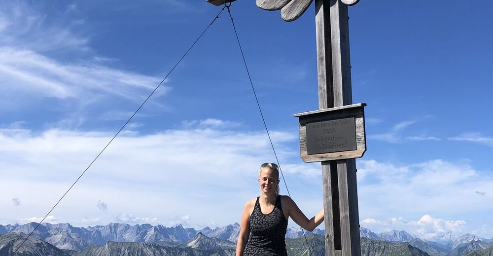
- Highest point
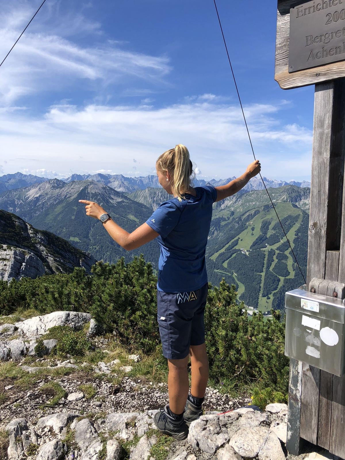
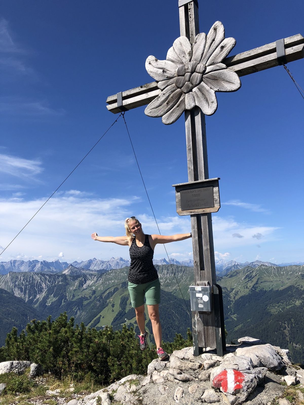
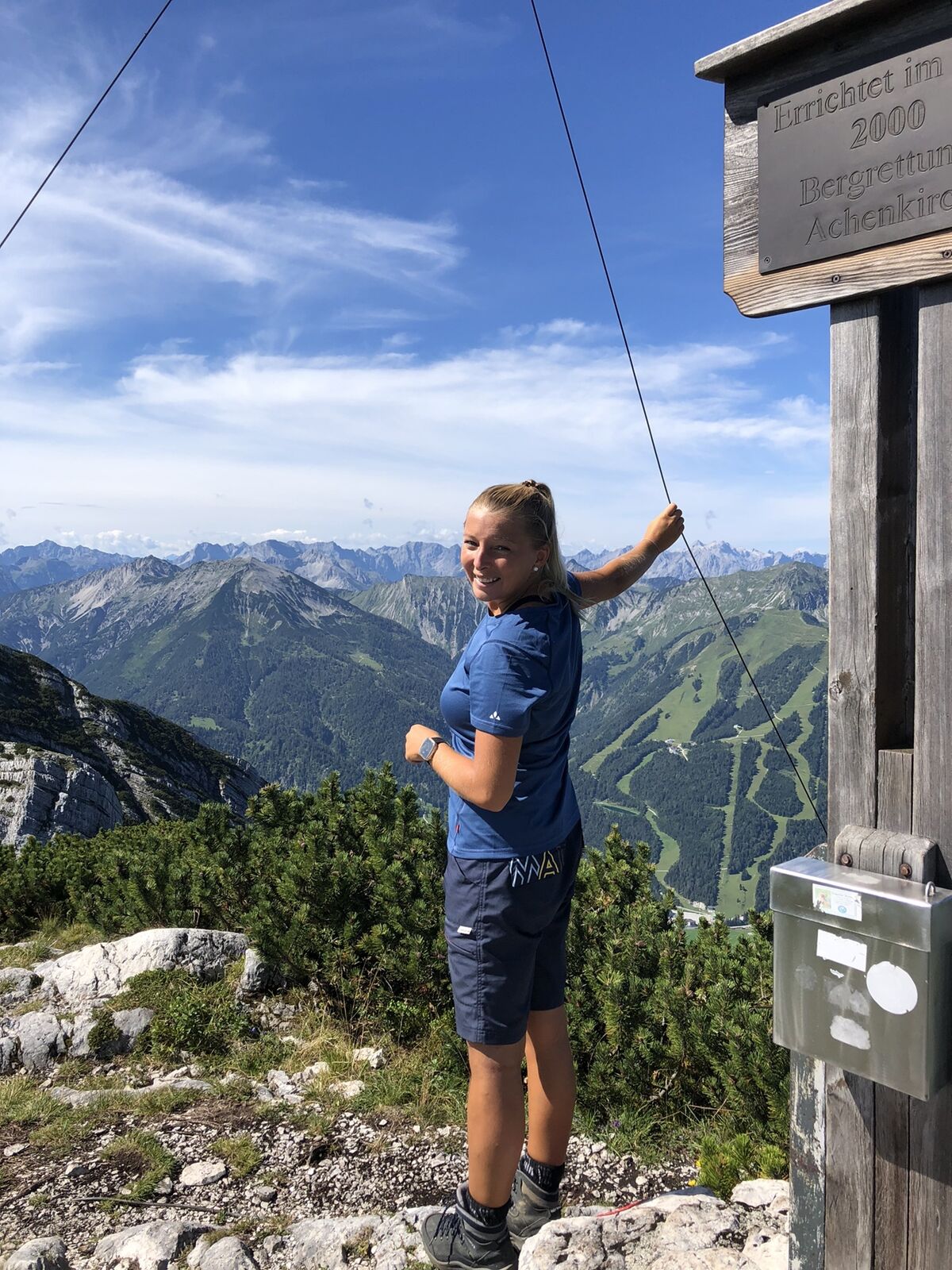
- 1,956 m


GPS Downloads


Other tours in the regions
-
Achensee
247
-
Achenkirch am Achensee
43