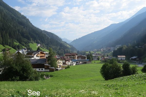
- Brief description
-
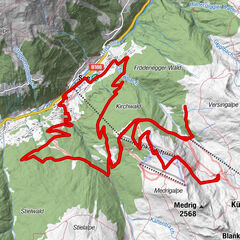
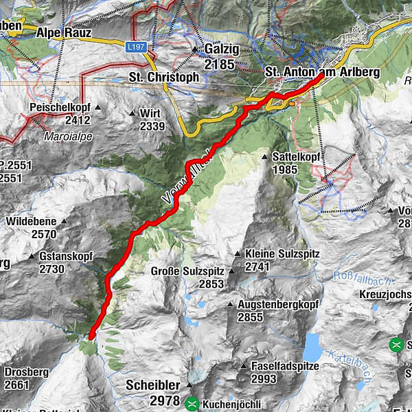
Tour to the Konstanzer Hut - from St. Anton through the Rosanna Gorge way up to the bottom of the Patteriol!
- Difficulty
-
medium
- Rating
-
- Route
-
St. Anton am Arlberg (1,284 m)Stiegeneckkapelle2.9 kmSalzhütte6.6 kmKonstanzer Hütte10.9 kmSalzhütte15.1 kmStiegeneckkapelle18.8 kmSt. Anton am Arlberg (1,284 m)21.7 km
- Description
-
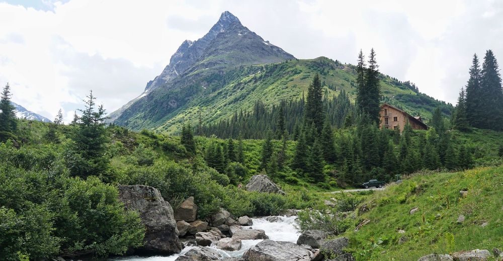
The tour to the Konstanzer Hut at 1,688 m is ideal for somewhat advanced mountain bikers with sufficient levels of physical fitness. In terms of difficulty rating and riding surface, the tour is also well suited for families who do not shy away from taking a more physically demanding tour. You can also park at the entrance of the Verwalltal Valley and save yourself a few uphill metres. The ascent to Lake Verwallsee offers the opportunity for a relaxing stopover to rest your legs. Later on, your efforts will be rewarded with beautiful views of the 3,056 m high Mount Pateriol, a distinctive peak in the midst of the Verwall Alps. The Konstanzer Hut is the ideal place to stop for refreshments. On the way back, you could also pop into the Rasthaus Verwall.
- Highest point
- 1,684 m
- Height profile
-

- Directions
-
Arriving from East, the A12 - Inn valley motorway: Follow the highway S16 until junction "Arlbergpass" just before the Arlberg tunnel. Now follow the road B197 - the Arlbergpass road, until St. Anton am Arlberg.
Arriving from Bludenz (West) on the road L97: Follow until "Klösterle". Then follow th road B197 across the Arlberg pass until St. Anton am Arlberg.
- Public transportation
-
St. Anton am Arlberg is easily accessible by regional and national rail links.

- Author
-
St. Anton / ArlbergThe tour Konstanzer Hut is used by outdooractive.com provided.