

- Brief description
-
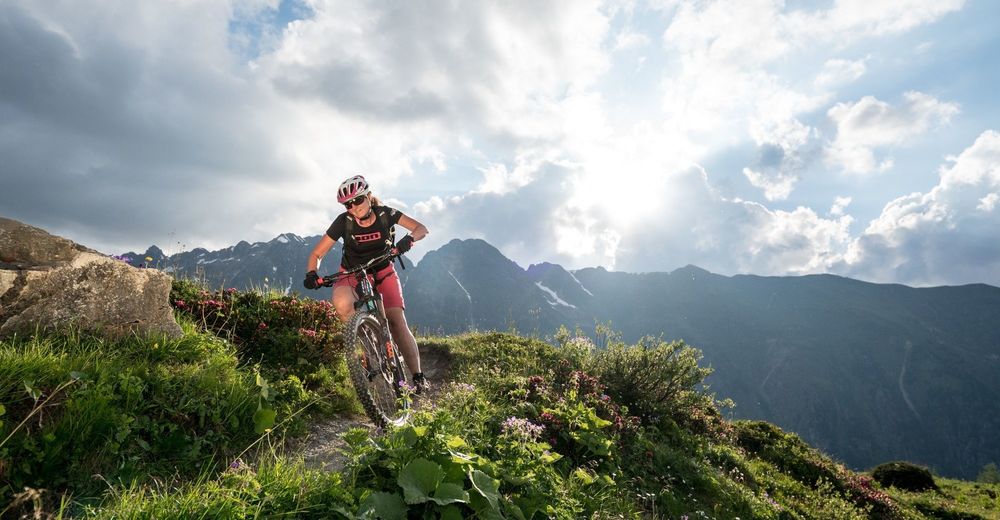
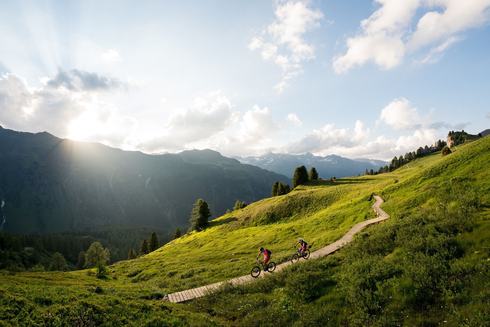
A somewhat more challenging route over lush meadows and wooden footbridges with a short section for pushing. Enjoy the view on the Greitspitz and a stop at the Paznauner Taja is highly recommended.
- Difficulty
-
medium
- Rating
-
- Starting point
-
Idalpe
- Route
-
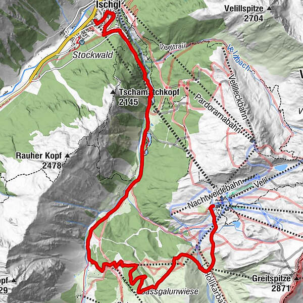
Idalpe (2,319 m)Vider Alp0.1 kmSchwarzwasserlift7.3 kmSchwarzwasserlift7.9 kmIschgl (1,377 m)11.0 kmSankt Nikolaus11.0 km
- Best season
-
JanFebMarAprMayJunJulAugSepOctNovDec
- Description
-
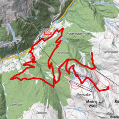
The start is on the Idalp and leads across the alpine pastures down to Höllboden. A counter-climb leads towards Sassgalunkopf, where you push the bike for a bit. The view of Greitspitz to the south and Rauher Kopf to the north is impressive. Afterwards, the challenging single trail begins over lush meadows and some wooden bridges, which promote concentration and riding pleasure. At point 2155, you either descend steeply via the single trail to the Paznauner Taja or the alternative is via the easy road. The descent from the Paznauner Taja to the road is technically demanding and from there, via the middle station, you can take the Silvrettabahn to Ischgl.
- Directions
-
From Idalp down to Höllboden
A counter-climb in the direction of Sassgalunkopf
Follow the challenging single trail down to point 2155
Here the path splits, either the easy road down to the Paznauner Taja or the challenging single trail
From the Paznauner Taja follows a challenging part before the road leads back to the Silvrettabahn in Ischgl. - Highest point
- 2,282 m
- Endpoint
-
Ischgl Silvrettabahn
- Height profile
-

- Equipment
-
Helm, Handschuhe, gutes Schuhwerk, Brille, Regen- und Sonnenschutz, Trinkflasche, Reparaturset, Verbandszeug
- Safety instructions
-
The tour was assessed in favourable weather conditions, current weather conditions and weather forecasts must be compulsorily observed before starting the tour. This tour requires a certain level of riding safety, balance and technical riding skills.
Emergency call:
144 Emergency call, first aid
112 International emergency call
Show consideration when crossing and overtaking hikers.
Most of the mountain bike routes in Graubünden run on single trails that are also signposted as hiking trails. Hikers always have the right of way
- Tips
-
Stop at the Paznaun Taja
- Additional information
- Directions
-
- From the north: via Landquart - Klosters by car transport through the Vereina Tunnel (Selfranga - Sagliains) or via the Flüela Pass into the Lower Engadine on H27, from Vinadi turn left towards Samnaun.
- From the east: via Landeck / Austria in the direction of Reschenpass on the B180, from Kajetansbrücke in the direction of Spiss - Samnaun on the L348
- From the south: via Reschenpass to Kajetansbrücke, then towards Spiss - Samnaun on the L348
- With the double-decker cable car from Samnaun-Ravaisch to the Alp Trider Sattel and via the flow trail down to Alp Trida
- Via Flimsattelbahn up to Viderjoch and from there to Idalp (see downhill trail Viderjoch - Idalp)
- Public transportation
-
- With the Rhaetian Railway (from Chur, Landquart/Prättigau or from the Upper Engadine) hourly to Scuol-Tarasp station.
- Continue by PostBus to the PostBus stop Samnaun-Ravaisch, Bergbahnen (line 921, hourly connections).
- Samnaun local bus: hourly connections to Samnaun-Ravaisch, mountain railways
- Double-decker railway to Alp Trida Sattel: in summer every 30 minutes from 8.00 a.m. - 4.30 p.m. (last descent: 5.00 p.m.)
- Parking
-
Free public car park at the valley station of the double-decker cable car, Samnaun-Ravaisch.

- Author
-
The tour Paznauner Taja Trail l.10 is used by outdooractive.com provided.


Surfaces
-
Paznaun - Ischgl
255
-
Ischgl
114